Berry Wood

Wood, Forest in Glamorgan

Wales

Berry Wood

Sunset over Scurlage Taken looking west-southwest towards Port Eynon from outside The Countryman pub, the sign of which is silhouetted on the left of the image.
Sunset over Scurlage Credit: Robert Lamb

Berry Wood is a picturesque forest located in Glamorgan, Wales. Spanning an area of approximately 200 acres, it is a haven for nature enthusiasts and offers a tranquil escape from the hustle and bustle of daily life. The wood is situated near the village of Berry, and its accessibility makes it a popular destination for locals and tourists alike.

The wood is primarily composed of native deciduous trees such as oak, beech, and ash, creating a stunning display of colors during the autumn months. The dense foliage provides a habitat for a variety of wildlife, including deer, squirrels, and a wide range of bird species. Birdwatchers can spot rare and migratory birds throughout the year.

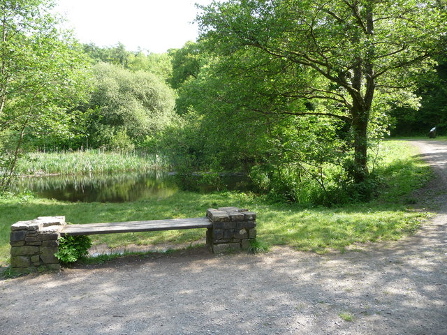
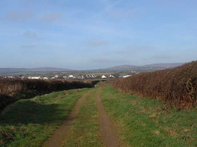
A network of well-maintained walking trails winds through Berry Wood, allowing visitors to explore its enchanting beauty at their own pace. The paths meander through ancient woodland, alongside babbling brooks, and across small wooden bridges. The forest floor is adorned with a carpet of wildflowers in the spring, adding to the area's natural charm.

Berry Wood is also home to several archaeological sites, including remnants of an Iron Age hillfort and a medieval motte-and-bailey castle. History enthusiasts can unravel the stories of the past while wandering through the forest.

Facilities at Berry Wood include parking, picnic areas, and information boards providing details about the flora, fauna, and history of the wood. It is a place where visitors can connect with nature, enjoy a peaceful stroll, and immerse themselves in the rich biodiversity of Glamorgan.

If you have any feedback on the listing, please let us know in the comments section below.

Berry Wood Images

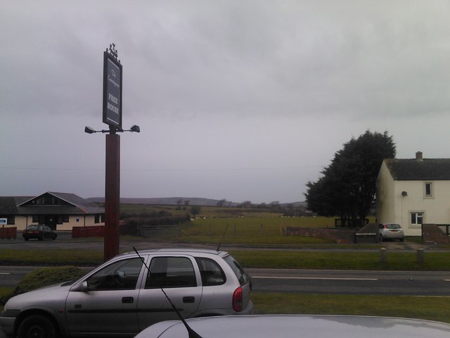
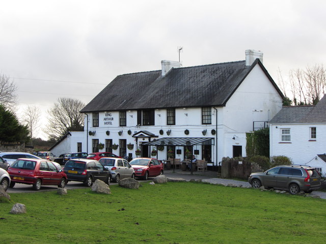
Images are sourced within 2km of 51.574044/-4.203467 or Grid Reference SS4788. Thanks to Geograph Open Source API. All images are credited.

Sunset over Scurlage Taken looking west-southwest towards Port Eynon from outside The Countryman pub, the sign of which is silhouetted on the left of the image.
Sunset over Scurlage
Taken looking west-southwest towards Port Eynon from outside The Countryman pub, the sign of which is silhouetted on the left of the image.
Sunset over Scurlage #2 Taken looking west-southwest from the Gower Holiday Village. The silhouetted building to the right is the rear of The Countryman pub.
Sunset over Scurlage #2
Taken looking west-southwest from the Gower Holiday Village. The silhouetted building to the right is the rear of The Countryman pub.
View of the hills from Gower Holiday Village Looking northwest.
View of the hills from Gower Holiday Village
Looking northwest.
View across the fields from Gower Holiday Village Looking west.
View across the fields from Gower Holiday Village
Looking west.
Looking towards Port Eynon Taken outside The Countryman pub looking west-southwest.
Looking towards Port Eynon
Taken outside The Countryman pub looking west-southwest.
Looking east-northeast along Monksland Road From outside the Gower Holiday Village.
Looking east-northeast along Monksland Road
From outside the Gower Holiday Village.
View of the hills from outside the Countryman pub Looking north-northwest.
View of the hills from outside the Countryman pub
Looking north-northwest.
Bench beside a pond in Mill Wood A quiet and secluded little pond. Originally part of the landscaping of the Penrice estate.
Bench beside a pond in Mill Wood
A quiet and secluded little pond. Originally part of the landscaping of the Penrice estate.
Welsh Black cattle graze in a field near Kittle Top These cattle are resting in the warm sun near a distinctive shaped hill that gives the shot a Spanish feel maybe.
Welsh Black cattle graze in a field near Kittle Top
These cattle are resting in the warm sun near a distinctive shaped hill that gives the shot a Spanish feel maybe.
The local area National Trust office at Little Reynoldston Various signage marks this farm out as being the admin and management centre for the Gower area.
The local area National Trust office at Little Reynoldston
Various signage marks this farm out as being the admin and management centre for the Gower area.
Roadside near Reynoldston Behind the gorse bushes a footpath climbs up Cefn Bryn beside the road.
Roadside near Reynoldston
Behind the gorse bushes a footpath climbs up Cefn Bryn beside the road.
King Arthur Hotel, Reynoldston
Houses and sheep in Reynoldston
Llwybr march Scurlage bridleway Hen heol werdd a arwain o Hangman's Cross at Scurlage. Gellir gweld y pentre hwnnw yn y pellter. Mae'r heol bellach wedi'i hisraddio i lwybr march.

Old green road leading from Hangman's Cross to Scurlage village which one can see in the distance. The road has long been downgraded to a bridleway.
Llwybr march Scurlage bridleway
Hen heol werdd a arwain o Hangman's Cross at Scurlage. Gellir gweld y pentre hwnnw yn y pellter. Mae'r heol bellach wedi'i hisraddio i lwybr march. Old green road leading from Hangman's Cross to Scurlage village which one can see in the distance. The road has long been downgraded to a bridleway.
The Gower Way at Reynoldston Here the path leaves Lower Green on its way to Rhossili.
The Gower Way at Reynoldston
Here the path leaves Lower Green on its way to Rhossili.
Sheep on Lower Green, Reynoldston Free-range sheep are a feature of this village; they can wander down off the moor at will. Fortunately they seem to be very well-behaved.
Sheep on Lower Green, Reynoldston
Free-range sheep are a feature of this village; they can wander down off the moor at will. Fortunately they seem to be very well-behaved.
Fire and Ambulance stations, Reynoldston The Ambulance station on the right does have a sign, but not the fire station, which I suppose is identified by its red doors!
Fire and Ambulance stations, Reynoldston
The Ambulance station on the right does have a sign, but not the fire station, which I suppose is identified by its red doors!
St George’s church, Reynoldston The original church was built sometime in the 13C, but by 19C it was in a bad state of repair, and it was rebuilt on the original foundations and opened in 1867. Some Norman work was incorporated.  The font is made from a large block of stalagmite. The church also contains one of the oldest Christian monuments in Gower - a pillar cross dating back to 900 AD. The decoration is said to show the influence of the early Irish Church; one side bears a simple celtic-style cross.  The Department of the Environment (Ancient Monuments Wales branch) decided that it ought to be placed under cover to protect it from the elements, and it was formally presented to Reynoldston Church in 1977 (information from: <span class="nowrap"><a title="http://www.explore-gower.co.uk/explore/gower-history/gower-churches/reynoldston-church" rel="nofollow ugc noopener" href="http://www.explore-gower.co.uk/explore/gower-history/gower-churches/reynoldston-church">Link</a><img style="margin-left:2px;" alt="External link" title="External link - shift click to open in new window" src="https://s1.geograph.org.uk/img/external.png" width="10" height="10"/></span> ).
St George’s church, Reynoldston
The original church was built sometime in the 13C, but by 19C it was in a bad state of repair, and it was rebuilt on the original foundations and opened in 1867. Some Norman work was incorporated. The font is made from a large block of stalagmite. The church also contains one of the oldest Christian monuments in Gower - a pillar cross dating back to 900 AD. The decoration is said to show the influence of the early Irish Church; one side bears a simple celtic-style cross. The Department of the Environment (Ancient Monuments Wales branch) decided that it ought to be placed under cover to protect it from the elements, and it was formally presented to Reynoldston Church in 1977 (information from: LinkExternal link ).
Show me another place!

Berry Wood is located at Grid Ref: SS4788 (Lat: 51.574044, Lng: -4.203467)

Unitary Authority: Swansea

Police Authority: South Wales

What 3 Words

///agreement.abandons.sprouts. Near Rhossili, Swansea

Nearby Locations

Berry Wood Mead Moor

Related Wikis

South Gower A.F.C.

South Gower F.C. is a football club based in Scurlage in Wales, The club plays in the Ardal Leagues South West, which is the third tier of the Welsh football...

Penrice (community)

Penrice is a village and community in Swansea county, Wales on the Gower peninsula. It had a population of 451 as of the 2011 UK census and includes the...

Gower (electoral ward)

Gower (Welsh: Gŵyr) electoral ward is an electoral ward in Britain. It is a ward of the City and County of Swansea, and comprises the western part of the...

Reynoldston

Reynoldston is a rural village and a community in the City and County of Swansea, Wales, which had a population of 439 in 2011. The community has its own...

Nearby Amenities

Located within 500m of 51.574044,-4.203467
Barrier: stile
Lat/Long: 51.577826/-4.201281
Barrier: stile
Lat/Long: 51.5770652/-4.2015545
Barrier: stile
Lat/Long: 51.5760901/-4.2019926
Building: yes
Lat/Long: 51.570331/-4.2053345
Barrier: stile
Lat/Long: 51.575119/-4.202281
Barrier: stile
Lat/Long: 51.5708234/-4.2044655
The data included in this document is from www.openstreetmap.org. The data is made available under ODbL.

Have you been to Berry Wood?

Leave your review of Berry Wood below (or comments, questions and feedback).