Burlish Park

Settlement in Worcestershire Wyre Forest

England

Burlish Park

Bridge Street in Stourport-on-Severn
Bridge Street in Stourport-on-Severn Credit: Mat Fascione

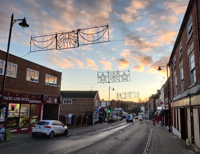
Burlish Park is a small residential area located in Worcestershire, England. Situated on the outskirts of Kidderminster, it offers a tranquil and scenic environment for its residents. The area is renowned for its natural beauty, with picturesque views of the surrounding countryside.

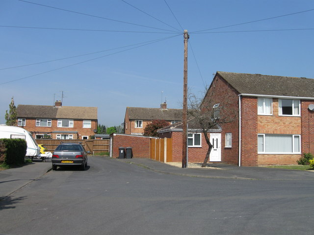
Burlish Park is predominantly made up of a mix of traditional houses and modern properties, providing a diverse range of housing options. The neighborhood boasts a strong sense of community, with friendly residents who take pride in their surroundings. It is a popular choice for families and professionals seeking a peaceful and safe place to live.

The area benefits from excellent transport links, with easy access to the A449 and A456 roads, making it convenient for commuters. Additionally, Kidderminster train station is just a short drive away, offering direct rail services to Birmingham and Worcester.

Burlish Park is well-served by amenities, including local shops, schools, and healthcare facilities, ensuring that residents have everything they need within easy reach. For leisure activities, the nearby Wyre Forest provides opportunities for outdoor pursuits such as walking, cycling, and horse riding.

Overall, Burlish Park offers a desirable location for those seeking a harmonious blend of rural charm and modern convenience. With its idyllic setting and welcoming community, it is a place that many residents are proud to call home.

If you have any feedback on the listing, please let us know in the comments section below.
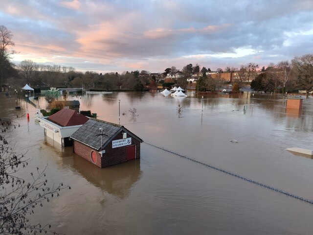
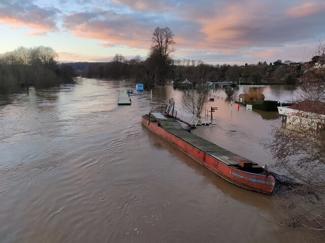
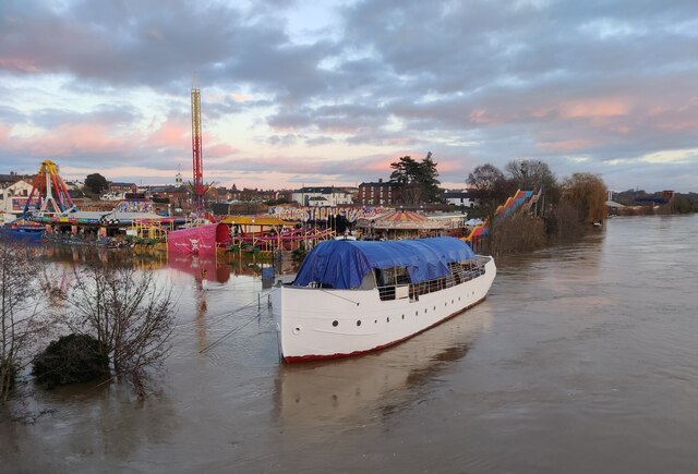
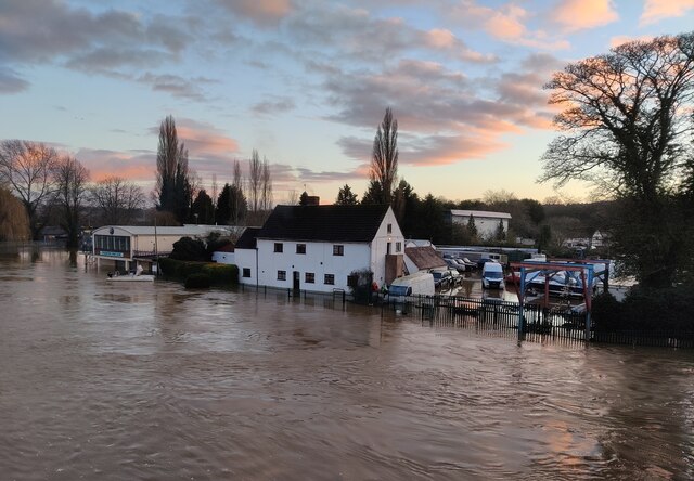
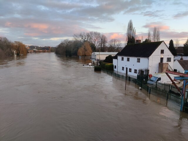
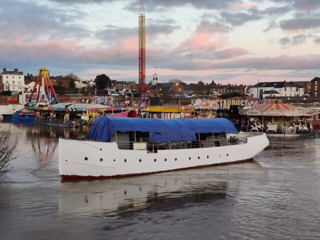
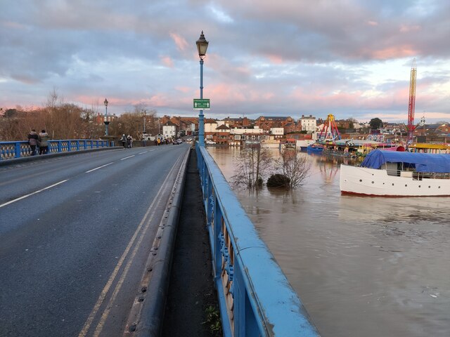
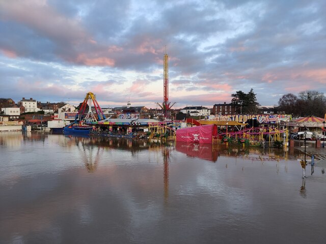
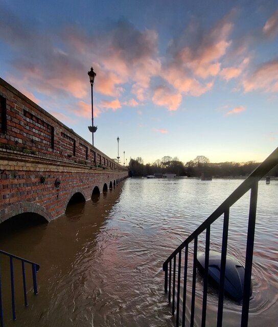
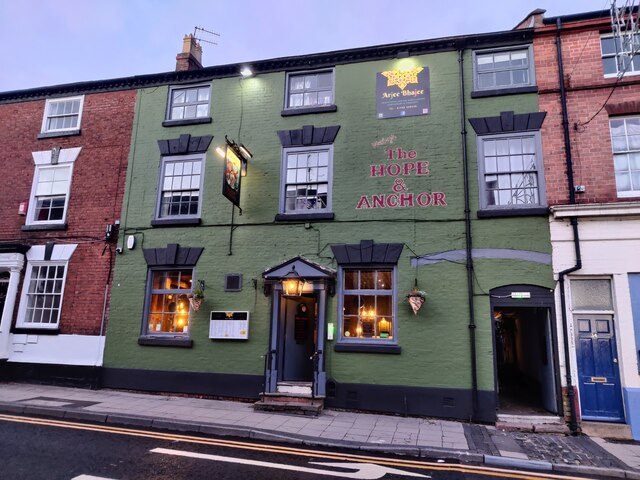
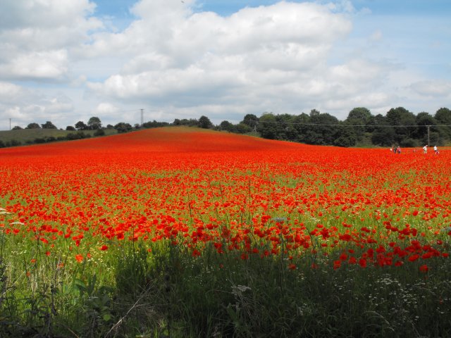
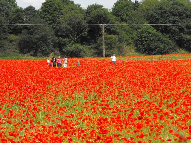
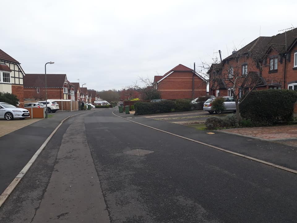
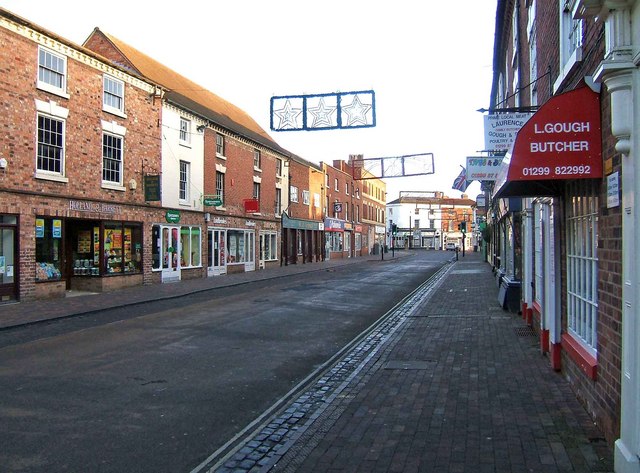
Burlish Park Images

Images are sourced within 2km of 52.352852/-2.2874111 or Grid Reference SO8072. Thanks to Geograph Open Source API. All images are credited.

Bridge Street in Stourport-on-Severn
Flooding in the Engine Basin at Stourport-on-Severn The flooding was caused by Storm Christoph in January 2021.
Flooding in the Engine Basin at Stourport-on-Severn
The flooding was caused by Storm Christoph in January 2021.
Flooding next to Bridge Street The flooding was caused by Storm Christoph in January 2021.
Flooding next to Bridge Street
The flooding was caused by Storm Christoph in January 2021.
Flooded skateboard park at Stourport-on-Severn The flooding was caused by Storm Christoph in January 2021.
Flooded skateboard park at Stourport-on-Severn
The flooding was caused by Storm Christoph in January 2021.
Flooding along the River Severn at Stourport-on-Severn The flooding was caused by Storm Christoph in January 2021.
Flooding along the River Severn at Stourport-on-Severn
The flooding was caused by Storm Christoph in January 2021.
Landing stages on a flooded River Severn The flooding was caused by Storm Christoph in January 2021.
Landing stages on a flooded River Severn
The flooding was caused by Storm Christoph in January 2021.
Flooding at Stourport-on-Severn The flooding was caused by Storm Christoph in January 2021.
Flooding at Stourport-on-Severn
The flooding was caused by Storm Christoph in January 2021.
Flooding at the Bridge Boatyard, Stourport-on-Severn The flooding was caused by Storm Christoph in January 2021.
Flooding at the Bridge Boatyard, Stourport-on-Severn
The flooding was caused by Storm Christoph in January 2021.
Flooding along the River Severn at Stourport-on-Severn Stourport Boat Club and Bridge House on the right.
The flooding was caused by Storm Christoph in January 2021.
Flooding along the River Severn at Stourport-on-Severn
Stourport Boat Club and Bridge House on the right. The flooding was caused by Storm Christoph in January 2021.
Flooding at Stourport-on-Severn The boat is moored next to the Treasure Island Amusement Park.
The flooding was caused by Storm Christoph in January 2021.
Flooding at Stourport-on-Severn
The boat is moored next to the Treasure Island Amusement Park. The flooding was caused by Storm Christoph in January 2021.
Stourport Bridge The bridge was opened in 1871, it carries the A451 across the River Severn at Stourport-on-Severn.
Stourport Bridge
The bridge was opened in 1871, it carries the A451 across the River Severn at Stourport-on-Severn.
Flooding at the Treasure Island Amusement Park The flooding was caused by Storm Christoph in January 2021.
Flooding at the Treasure Island Amusement Park
The flooding was caused by Storm Christoph in January 2021.
Flooded skateboard park at Stourport-on-Severn The flooding was caused by Storm Christoph in January 2021.
Flooded skateboard park at Stourport-on-Severn
The flooding was caused by Storm Christoph in January 2021.
Flooding next to Bridge Street, Stourport-on-Severn The flooding was caused by Storm Christoph in January 2021.
Flooding next to Bridge Street, Stourport-on-Severn
The flooding was caused by Storm Christoph in January 2021.
Arjee Bhajee Hope & Anchor This Grade II listed building dates from about 1800 and was originally a coaching inn. It reopened in October 2020 as an Indian restaurant and takeaway. It is on New Street in Stourport-on-Severn.
Arjee Bhajee Hope & Anchor
This Grade II listed building dates from about 1800 and was originally a coaching inn. It reopened in October 2020 as an Indian restaurant and takeaway. It is on New Street in Stourport-on-Severn.
St David's Close, Lickhill
Poppies at Blackstone, Worcestershire I was not alone in finding the sight of this field bright red with poppies difficult to drive past, the Blackstone car park opposite was full.

A poster on the fence says,
"This is one of three fields owned by Worcestershire Wildlife Trust. This year it is being left fallow.
Its diverse and colourful weeds are indicative of low input agriculture. By using minimal herbicides we get this beautiful flush of annual wildflowers such as the poppy. We'll leave the field fallow in rotation to help reduce the nutrient levels in the soil. This will allow the land to gradually become heathland, a very threatened habitat in the county.
Several rare arable plants have been recorded in these fields and insects are abundant."
A report on this site from the Worcestershire Wildlife Trust website <span class="nowrap"><a title="https://web.archive.org/web/20110614140450/http://www.worcswildlifetrust.co.uk/index.php?section=news&id=3740" rel="nofollow ugc noopener" href="https://web.archive.org/web/20110614140450/http://www.worcswildlifetrust.co.uk/index.php?section=news&id=3740">Archive Link</a><img style="margin-left:2px;" alt="External link" title="External link - shift click to open in new window" src="https://s1.geograph.org.uk/img/external.png" width="10" height="10"/></span>
Poppies at Blackstone, Worcestershire
I was not alone in finding the sight of this field bright red with poppies difficult to drive past, the Blackstone car park opposite was full. A poster on the fence says, "This is one of three fields owned by Worcestershire Wildlife Trust. This year it is being left fallow. Its diverse and colourful weeds are indicative of low input agriculture. By using minimal herbicides we get this beautiful flush of annual wildflowers such as the poppy. We'll leave the field fallow in rotation to help reduce the nutrient levels in the soil. This will allow the land to gradually become heathland, a very threatened habitat in the county. Several rare arable plants have been recorded in these fields and insects are abundant." A report on this site from the Worcestershire Wildlife Trust website Archive LinkExternal link
Poppies at Blackstone, Worcestershire An area on one side of the field has been roped off for use by visitors so they can feel they are surrounded by the poppies.
Poppies at Blackstone, Worcestershire
An area on one side of the field has been roped off for use by visitors so they can feel they are surrounded by the poppies.
Show me another place!

Burlish Park is located at Grid Ref: SO8072 (Lat: 52.352852, Lng: -2.2874111)

Administrative County: Worcestershire

District: Wyre Forest

Police Authority: West Mercia

What 3 Words

///blaze.ruby.pocket. Near Stourport-on-Severn, Worcestershire

Nearby Locations

Burlish Park

Related Wikis

Burlish Halt railway station

Burlish Halt railway station was a station on the Severn Valley Railway in Stourport-on-Severn, Worcestershire, England. The halt opened on 31 March 1930...

The Stourport High School and Sixth Form Centre

The Stourport High School & VIth Form Centre, formerly known as the Stourport High School and Language College, opened to students in 1956 as an 11-18...

Chain Wire Club Ground

The Chain Wire Club Ground in Stourport-on-Severn, Worcestershire was used for first-class cricket by Worcestershire County Cricket Club on a single occasion...

Stourport-on-Severn railway station

Stourport-on-Severn railway station was the main station in Stourport-on-Severn, Worcestershire, England. The station, originally named 'Stourport', opened...

Stourport-on-Severn

Stourport-on-Severn, often shortened to Stourport, is a town and civil parish in the Wyre Forest District of North Worcestershire, England, a few miles...

Areley Hall

Areley Hall is a Grade II listed country house near Areley Kings in Stourport-on-Severn, Worcestershire, England. It is not to be confused with nearby...

Rifle Range Halt railway station

Rifle Range Halt was a short-lived unstaffed request stop on the GWR Kidderminster to Bewdley loop line which now forms part of the Severn Valley Railway...

Bewdley Town F.C.

Bewdley Town Football Club is a football club based in Bewdley, Worcestershire, England. They are currently members of the Midland League Premier Division...

Nearby Amenities

Located within 500m of 52.352852,-2.2874111
Traffic Signals
Crossing: traffic_signals
Crossing Ref: pelican
Lat/Long: 52.3538539/-2.293459
Bus Stop
Lickhill Turn
Bus: yes
Naptan AtcoCode: 2000G045398
Naptan Bearing: N
Naptan CommonName: Lickhill Turn
Naptan Indicator: Eastbound
Naptan NaptanCode: wocgatjm
Naptan PlusbusZoneRef: KDRMNST
Naptan Street: Lickhill Road North
Naptan Verified: no
Public Transport: platform
Source: naptan_import
Lat/Long: 52.3534998/-2.294163
Bus Stop
Burlish Crossroads
Bus: yes
Naptan AtcoCode: 2000G045400
Naptan Bearing: N
Naptan CommonName: Burlish Crossroads
Naptan Indicator: near
Naptan NaptanCode: wocgatjt
Naptan PlusbusZoneRef: KDRMNST
Naptan Street: Burlish Crossing
Naptan Verified: no
Public Transport: platform
Source: naptan_import
Lat/Long: 52.3541498/-2.2930808
Bus Stop
Kingsway
Bus: yes
Naptan AtcoCode: 2000G045401
Naptan Bearing: N
Naptan CommonName: Kingsway
Naptan Crossing: Kingsway
Naptan Indicator: Northbound
Naptan NaptanCode: wocgatjw
Naptan PlusbusZoneRef: KDRMNST
Naptan Street: Windermere Way
Naptan Verified: no
Public Transport: platform
Source: naptan_import
Lat/Long: 52.3550553/-2.2904439
Bus Stop
Kingsway
Bus: yes
Naptan AtcoCode: 2000G045580
Naptan Bearing: N
Naptan CommonName: Kingsway
Naptan Crossing: Kingsway
Naptan Indicator: Southbound
Naptan NaptanCode: wocgjdmt
Naptan PlusbusZoneRef: KDRMNST
Naptan Street: Windermere Way
Naptan Verified: no
Public Transport: platform
Source: naptan_import
Lat/Long: 52.3552712/-2.2904159
Bus Stop
Buttermere Road
Bus: yes
Naptan AtcoCode: 2000G045583
Naptan Bearing: NW
Naptan CommonName: Buttermere Road
Naptan Crossing: Buttermere Road
Naptan Indicator: opp
Naptan NaptanCode: wocgjdpa
Naptan PlusbusZoneRef: KDRMNST
Naptan Street: Windermere Way
Naptan Verified: no
Public Transport: platform
Source: naptan_import
Lat/Long: 52.352976/-2.2878168
Bus Stop
Coniston Crescent
Bus: yes
Naptan AtcoCode: 2000G045584
Naptan Bearing: SE
Naptan CommonName: Coniston Crescent
Naptan Crossing: Coniston Crescent
Naptan Indicator: adj
Naptan NaptanCode: wocgjdpd
Naptan PlusbusZoneRef: KDRMNST
Naptan Street: Windermere Way
Naptan Verified: no
Public Transport: platform
Source: naptan_import
Lat/Long: 52.3510231/-2.2848971
Bus Stop
Woodbury Road North
Bus: yes
Naptan AtcoCode: 2000G045620
Naptan Bearing: NW
Naptan CommonName: Woodbury Road North
Naptan Crossing: Woodbury Road North
Naptan Indicator: adj
Naptan NaptanCode: wocgmjgd
Naptan PlusbusZoneRef: KDRMNST
Naptan Street: Bewdley Road
Naptan Verified: no
Public Transport: platform
Source: naptan_import
Lat/Long: 52.3495185/-2.2862381
Bus Stop
Francis Road
Bus: yes
Naptan AtcoCode: 2000G105200
Naptan Bearing: NW
Naptan CommonName: Francis Road
Naptan Crossing: Francis Road
Naptan Indicator: opp
Naptan NaptanCode: wocgdgag
Naptan PlusbusZoneRef: KDRMNST
Naptan Street: Bewdley Road North
Naptan Verified: no
Public Transport: platform
Source: naptan_import
Lat/Long: 52.3517367/-2.2909066
Bus Stop
Francis Road
Bus: yes
Naptan AtcoCode: 2000G105201
Naptan Bearing: N
Naptan CommonName: Francis Road
Naptan Crossing: Francis Road
Naptan Indicator: adj
Naptan NaptanCode: wocgdgaj
Naptan PlusbusZoneRef: KDRMNST
Naptan Street: Bewdley Road North
Naptan Verified: no
Public Transport: platform
Source: naptan_import
Lat/Long: 52.3515044/-2.2903178
Bus Stop
Burlish Crossroads
Bus: yes
Naptan AtcoCode: 2000G500621
Naptan Bearing: N
Naptan CommonName: Burlish Crossroads
Naptan Crossing: Burlish Crossing
Naptan Indicator: Northbound
Naptan NaptanCode: wocgajga
Naptan PlusbusZoneRef: KDRMNST
Naptan Street: Bewdley Road North
Naptan Verified: no
Public Transport: platform
Source: naptan_import
Lat/Long: 52.3528217/-2.2920736
Bus Stop
Woodbury Road North
Bus: yes
Naptan AtcoCode: 2000G581584
Naptan Bearing: E
Naptan CommonName: Woodbury Road North
Naptan Crossing: Woodbury Road North
Naptan Indicator: opp
Naptan NaptanCode: wocgagtm
Naptan PlusbusZoneRef: KDRMNST
Naptan Street: Bewdley Road
Naptan Verified: no
Public Transport: platform
Source: naptan_import
Lat/Long: 52.3494396/-2.2853861
Bus Stop
Coniston Crescent
Bus: yes
Naptan AtcoCode: 2000G581585
Naptan Bearing: NW
Naptan CommonName: Coniston Crescent
Naptan Crossing: Coniston Crescent
Naptan Indicator: opp
Naptan NaptanCode: wocgagtp
Naptan PlusbusZoneRef: KDRMNST
Naptan Street: Windermere Way
Naptan Verified: no
Public Transport: platform
Source: naptan_import
Lat/Long: 52.3506543/-2.2849975
Bus Stop
Lickhill Turn
Bus: yes
Naptan AtcoCode: 2000G745398
Naptan Bearing: SW
Naptan BusStopType: CUS
Naptan CommonName: Lickhill Turn
Naptan Indicator: Westbound
Naptan NaptanCode: wocgpdaj
Naptan PlusbusZoneRef: KDRMNST
Naptan Street: Lickhill Road North
Naptan Verified: no
Public Transport: platform
Source: naptan_import
Lat/Long: 52.3533825/-2.2940152
Post Box
Calder Road
Lat/Long: 52.3553037/-2.2889906
Turning Circle
Lat/Long: 52.3521053/-2.2887746
Noexit: yes
Lat/Long: 52.3512206/-2.2885843
Noexit: yes
Lat/Long: 52.3488117/-2.2895428
Bus Stop
Buttermere Road
Bus: yes
Naptan AtcoCode: 2000G045582
Naptan Bearing: SE
Naptan CommonName: Buttermere Road
Naptan Crossing: Buttermere Road
Naptan Indicator: adj
Naptan NaptanCode: wocgjdmw
Naptan PlusbusZoneRef: KDRMNST
Naptan Street: Windermere Way
Naptan Verified: no
Public Transport: platform
Source: naptan_import
Lat/Long: 52.3530656/-2.2877228
Nisa
Shop: supermarket
Lat/Long: 52.3494456/-2.2863442
Noexit: yes
Lat/Long: 52.3509678/-2.2887339
Post Office
Burlish Park Post Office
Addr City: Stourport-on-Severn
Addr Housenumber: 14-20
Addr Postcode: DY13 8QD
Addr Street: Calder Road
Brand: Post Office
Brand Wikidata: Q1783168
Fixme: verify by survey
Opening Hours: Mo-Sa 07:00-21:00; Su 07:00-20:00
Ref Pol Id: 145643
Source: pol_branch_list_2018-02
Website: https://www.postoffice.co.uk/branch-finder/2922088/burlish-park
Lat/Long: 52.3554/-2.2897
Burlish Park
Is In: Worcestershire
Place: suburb
Lat/Long: 52.354063/-2.2881525
Barrier: cycle_barrier
Lat/Long: 52.3551519/-2.290266
Historic: ruins
Survey Point: pillar
Lat/Long: 52.3562908/-2.2855954
The data included in this document is from www.openstreetmap.org. The data is made available under ODbL.

Have you been to Burlish Park?

Leave your review of Burlish Park below (or comments, questions and feedback).