Allt Chwarel-bâch

Wood, Forest in Cardiganshire

Wales

Allt Chwarel-bâch

A475 north of Waun
A475 north of Waun Credit: Stuart Logan

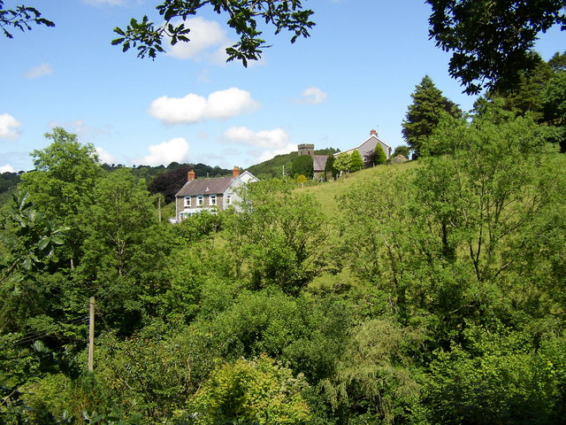
Allt Chwarel-bâch, located in Cardiganshire, is a scenic and enchanting wood or forest that boasts a rich history and diverse natural beauty. Covering an area of approximately 200 acres, this woodland is nestled amidst the stunning Welsh countryside.

The forest is predominantly composed of deciduous trees, including oak, beech, and birch, creating a vibrant and ever-changing landscape throughout the seasons. The lush undergrowth is home to a variety of flora and fauna, such as bluebells, wild garlic, and numerous species of birds and insects.

Allt Chwarel-bâch holds great historical significance, as it was once a bustling quarry in the 19th century, providing stone for local construction projects. Despite its industrial past, the forest has reclaimed its serenity and now offers visitors a peaceful retreat from the modern world. Remnants of the quarry can still be seen, adding an intriguing element to the woodland's character.

The forest is crisscrossed with well-maintained walking trails, enabling visitors to explore its beauty at their leisure. These trails lead to picturesque spots, such as a tranquil waterfall and a charming pond, providing an ideal setting for picnics or quiet contemplation.

Allt Chwarel-bâch is a popular destination for nature lovers, hikers, and photographers who are drawn to its natural charm and tranquil atmosphere. The woodland offers a respite from the hustle and bustle of urban life, inviting visitors to immerse themselves in its beauty and reconnect with nature.

In summary, Allt Chwarel-bâch in Cardiganshire is a captivating woodland that combines natural splendor with a rich history. Its diverse flora and fauna, walking trails, and remnants of an old quarry make it a must-visit destination for those seeking a peaceful and scenic retreat in the heart of Wales.

If you have any feedback on the listing, please let us know in the comments section below.

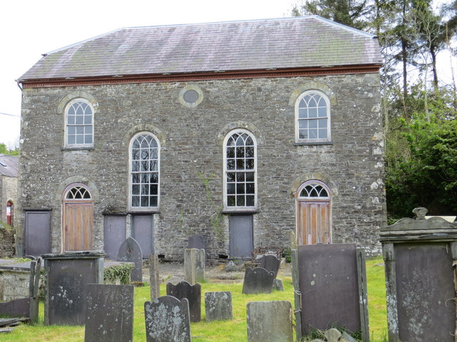
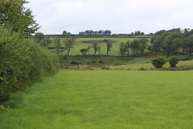
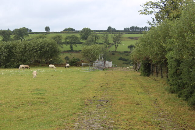
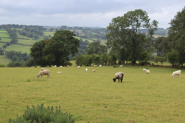
Allt Chwarel-bâch Images

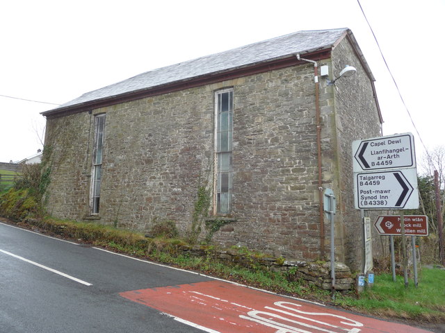
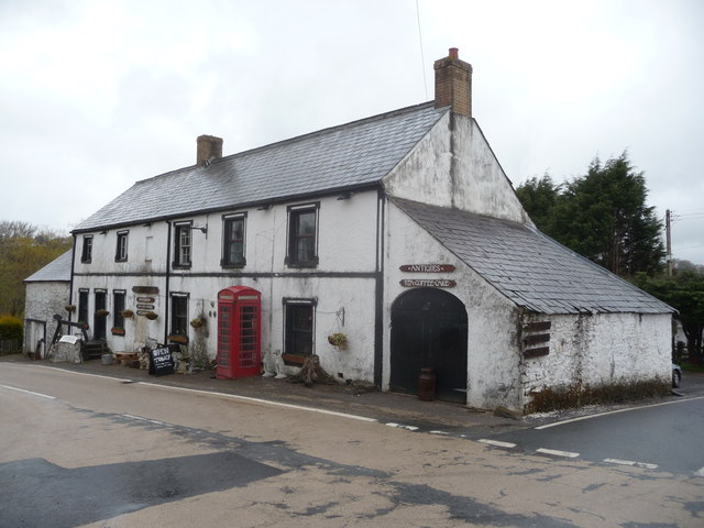
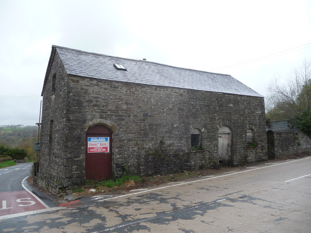
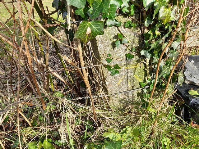
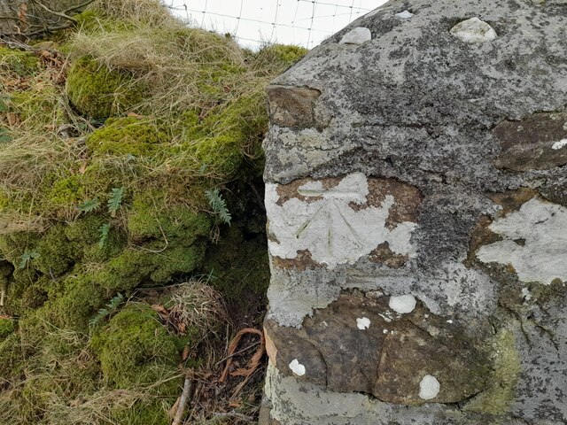
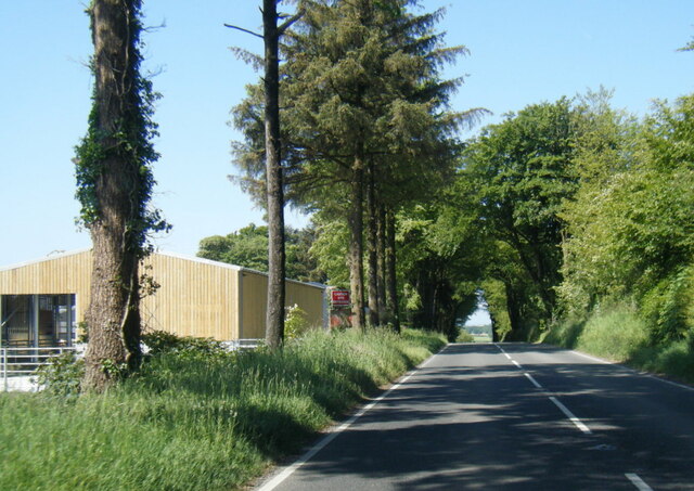
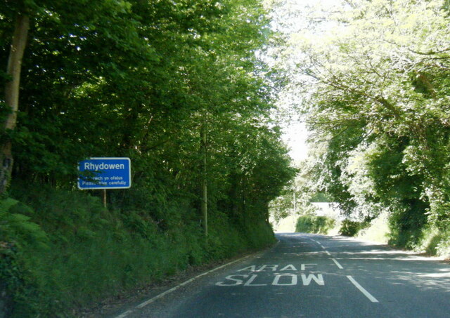
Images are sourced within 2km of 52.076228/-4.2554254 or Grid Reference SN4544. Thanks to Geograph Open Source API. All images are credited.

A475 north of Waun
A475 north of Waun
The Alltyrodyn tea rooms This is the latest incarnation of this old pub.
The Alltyrodyn tea rooms
This is the latest incarnation of this old pub.
The substantial bus shelter at Capel Dewi Very useful if waiting for the infrequent bus in the rain!
The substantial bus shelter at Capel Dewi
Very useful if waiting for the infrequent bus in the rain!
The graveyard at Capel Dewi Unlike some, this is very well maintained.
The graveyard at Capel Dewi
Unlike some, this is very well maintained.
Capel Dewi taken from Rock Mill A particularly attractive piece of countryside.  The Afon Clettwr, a tributary of the Teifi, runs through the trees at the bottom of the picture.
Capel Dewi taken from Rock Mill
A particularly attractive piece of countryside. The Afon Clettwr, a tributary of the Teifi, runs through the trees at the bottom of the picture.
Old chapel at the crossroad near Rhydowen Yet another old chapel which despite appearances here has been placed in the ownership of the Welsh Religious Buildings Trust which has recently undertaken major repairs, grant-aided by the Heritage Lottery Fund, Cadw, Ceredigion County Council, Llandysul Community Council and local fund-raisers. It is now open to visitors and has a secure future.
Old chapel at the crossroad near Rhydowen
Yet another old chapel which despite appearances here has been placed in the ownership of the Welsh Religious Buildings Trust which has recently undertaken major repairs, grant-aided by the Heritage Lottery Fund, Cadw, Ceredigion County Council, Llandysul Community Council and local fund-raisers. It is now open to visitors and has a secure future.
Old roadside pub near Rhydowen Now apparently selling both antiques and cake, tea and coffee according to the signage. Sign says open but looked closed. Bit confusing. Lick of paint needed? I dunno, first impressions and all that.
Old roadside pub near Rhydowen
Now apparently selling both antiques and cake, tea and coffee according to the signage. Sign says open but looked closed. Bit confusing. Lick of paint needed? I dunno, first impressions and all that.
Future barn conversion? Living on a busy croassroads won't appeal to everyone but it could have other uses.
Future barn conversion?
Living on a busy croassroads won't appeal to everyone but it could have other uses.
Rhydowen Chapel
Rhydowen Chapel
Fields north of A475, near Rhydowen Pastures with some trees on field boundaries.
Fields north of A475, near Rhydowen
Pastures with some trees on field boundaries.
Track by edge of field near Rhydowen The track leads from a gateway on the A475 to pens for livestock. The hedge on the right is the boundary between this field and that in <a href="https://www.geograph.org.uk/photo/7238565">SN4545 : Fields north of A475, near Rhydowen</a>.
Track by edge of field near Rhydowen
The track leads from a gateway on the A475 to pens for livestock. The hedge on the right is the boundary between this field and that in SN4545 : Fields north of A475, near Rhydowen.
Sheep pasture near Rhydowen Valley-side field by A475, a different view (also from the roadside gate) of the field in <a href="https://www.geograph.org.uk/photo/7238581">SN4545 : Track by edge of field near Rhydowen</a>.
Sheep pasture near Rhydowen
Valley-side field by A475, a different view (also from the roadside gate) of the field in SN4545 : Track by edge of field near Rhydowen.
Ordnance Survey Cut Mark This OS cut mark can be found on the concrete post at the entrance to Cwm-Einon. It marks a point 200.695m above mean sea level.
Ordnance Survey Cut Mark
This OS cut mark can be found on the concrete post at the entrance to Cwm-Einon. It marks a point 200.695m above mean sea level.
Ordnance Survey Cut Mark This OS cut mark can be found on the gatepost south side of the road. It marks a point 256.049m above mean sea level.
Ordnance Survey Cut Mark
This OS cut mark can be found on the gatepost south side of the road. It marks a point 256.049m above mean sea level.
A475 at Pyllaur-bryn Farm
A475 at Rhydowen village boundary
A475 at Rhydowen-fach
Ordnance Survey Flush Bracket (S0447) This OS Flush Bracket can be found on the chapel at the crossroads. It marks a point 159.327m above mean sea level.
Ordnance Survey Flush Bracket (S0447)
This OS Flush Bracket can be found on the chapel at the crossroads. It marks a point 159.327m above mean sea level.
Show me another place!

Allt Chwarel-bâch is located at Grid Ref: SN4544 (Lat: 52.076228, Lng: -4.2554254)

Unitary Authority: Ceredigion

Police Authority: Dyfed Powys

What 3 Words

///ozone.fancy.hockey. Near Llandysul, Ceredigion

Nearby Locations

Allt Chwarel-bâch

Related Wikis

Nearby Amenities

Located within 500m of 52.076228,-4.2554254
The data included in this document is from www.openstreetmap.org. The data is made available under ODbL.

Have you been to Allt Chwarel-bâch?

Leave your review of Allt Chwarel-bâch below (or comments, questions and feedback).