Allt Pyllau'r-bryn
Wood, Forest in Cardiganshire
Wales
Allt Pyllau'r-bryn
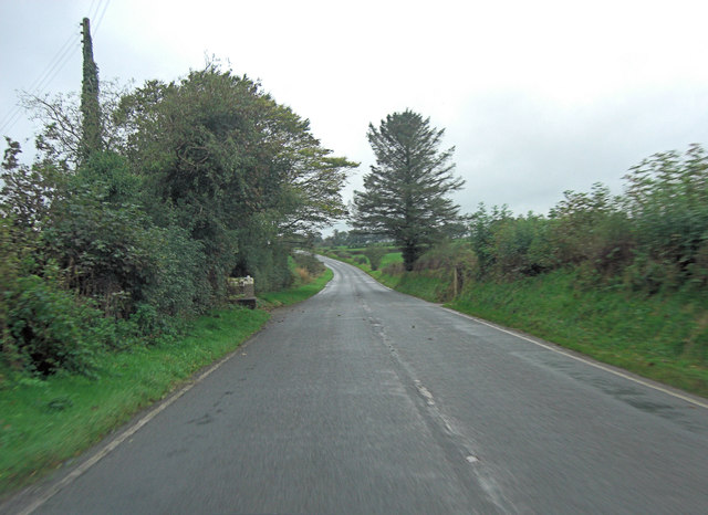
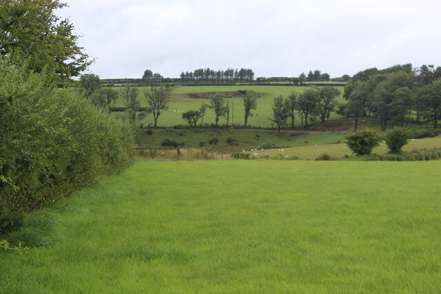
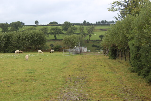
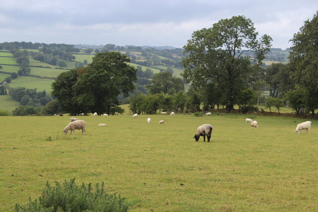
Allt Pyllau'r-bryn, located in Cardiganshire, is a picturesque wood or forest that offers a serene and tranquil escape to nature enthusiasts. Spanning over a vast area, the woodland is known for its breathtaking beauty, rich biodiversity, and diverse range of flora and fauna.
The forest is characterized by its dense canopy of towering trees, including oak, beech, and ash, which provide ample shade and create a cool and refreshing atmosphere. The forest floor is covered with a lush carpet of ferns, wildflowers, and mosses, adding to the enchanting ambiance.
Allt Pyllau'r-bryn is home to a diverse array of wildlife, making it an ideal spot for birdwatching and animal spotting. Visitors may catch a glimpse of various bird species, such as woodpeckers, owls, and red kites, soaring through the treetops. Squirrels, badgers, and foxes can also be spotted in their natural habitat.
The woodland offers a range of walking trails and paths, allowing visitors to explore the beauty of the forest at their own pace. These trails lead to hidden gems within the forest, such as a tranquil stream, a small waterfall, and a quaint picnic area where visitors can relax and enjoy the peaceful surroundings.
Allt Pyllau'r-bryn is a popular destination for nature lovers, hikers, and families seeking a peaceful retreat. Its natural beauty, along with its abundance of wildlife and walking trails, provides a perfect opportunity for individuals to connect with nature and immerse themselves in its serenity.
If you have any feedback on the listing, please let us know in the comments section below.
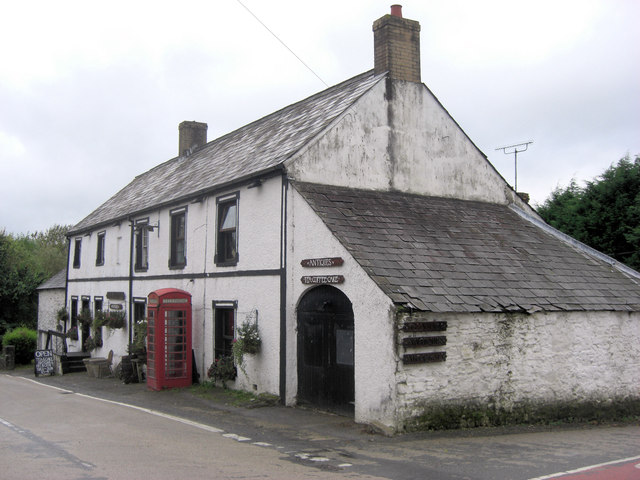
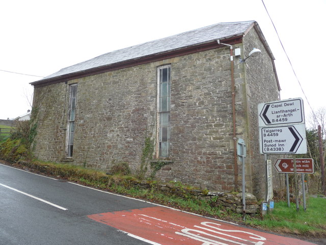
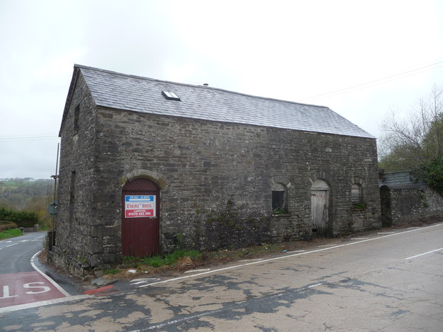
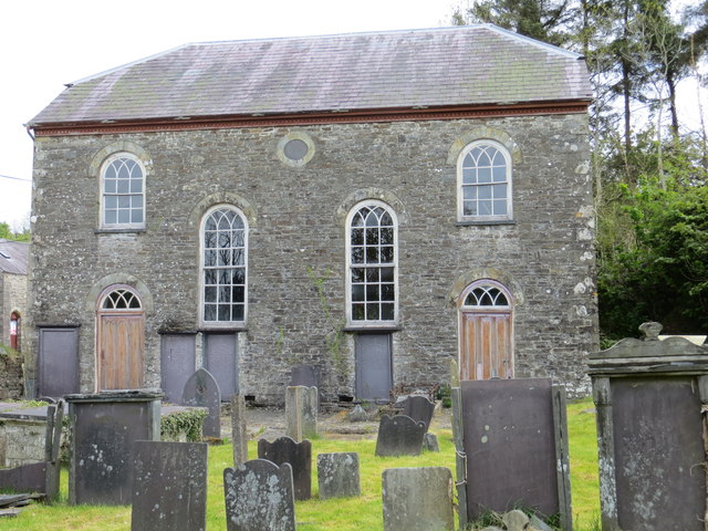
Allt Pyllau'r-bryn Images
Images are sourced within 2km of 52.087225/-4.2564034 or Grid Reference SN4545. Thanks to Geograph Open Source API. All images are credited.


Allt Pyllau'r-bryn is located at Grid Ref: SN4545 (Lat: 52.087225, Lng: -4.2564034)
Unitary Authority: Ceredigion
Police Authority: Dyfed Powys
What 3 Words
///upsetting.chats.monopoly. Near Llandysul, Ceredigion
Nearby Locations
Related Wikis
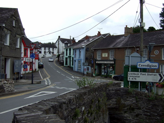
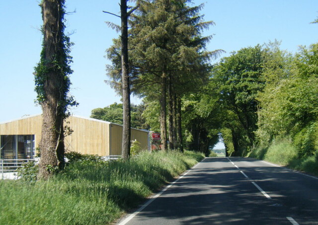
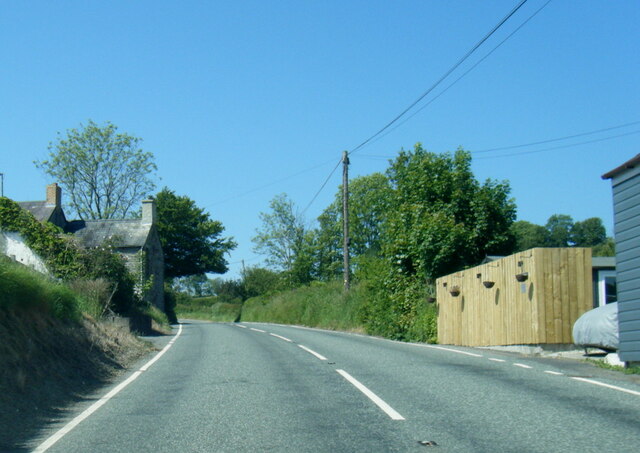
A475 road
The A475 road in Wales links Newcastle Emlyn in Carmarthenshire with Lampeter in Ceredigion; a distance of 19 miles (31 km). == History == The road, that...

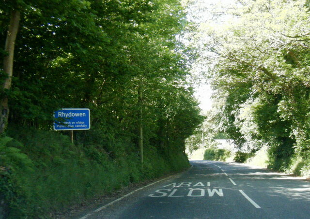
Rhydowen
Rhydowen is a small village in Ceredigion in south-west Wales. It has a population of about 347, of which around 200 are Welsh-speaking. The village hall...

Cwmsychbant
Cwmsychbant is a small village in the community of Llanwenog, Ceredigion, Wales, on the A475 road. Cwmsychbant is represented in the Senedd by Elin Jones...

Pontsiân
Pontsiân is a village in the county of Ceredigion, Wales. It lies on the banks of the river Cletwr, a minor tributary to the Afon Teifi. Located in a rural...
Bryngolau
Bryngolau is a small village in the community of Llandysul, Ceredigion, Wales, which is 62.2 miles (100.1 km) from Cardiff and 181.5 miles (292.1 km)...
Capel Dewi, Llandysul
Capel Dewi is a small village in the county of Ceredigion, Wales. The village lies in the Clettwr Valley mostly on the eastern bank of the River Clettwr...
Derlwyn, Ceredigion
Derlwyn is a small village in the community of Llandysul, Ceredigion, Wales, which is 61.4 miles (98.8 km) from Cardiff and 180.9 miles (291.1 km) from...
Pren-gwyn
Pren-gwyn is a small village in the community of Llandysul, Ceredigion, Wales, which is 63.1 miles (101.6 km) from Cardiff and 182.5 miles (293.6 km)...
Nearby Amenities
Located within 500m of 52.087225,-4.2564034Have you been to Allt Pyllau'r-bryn?
Leave your review of Allt Pyllau'r-bryn below (or comments, questions and feedback).