Allt Blaen-Clettwr

Wood, Forest in Cardiganshire

Wales

Allt Blaen-Clettwr

Ploughed Field from Triangulation Pillar between Fences at Whilgarn Looking southward.
Ploughed Field from Triangulation Pillar between Fences at Whilgarn Credit: Peter Wood

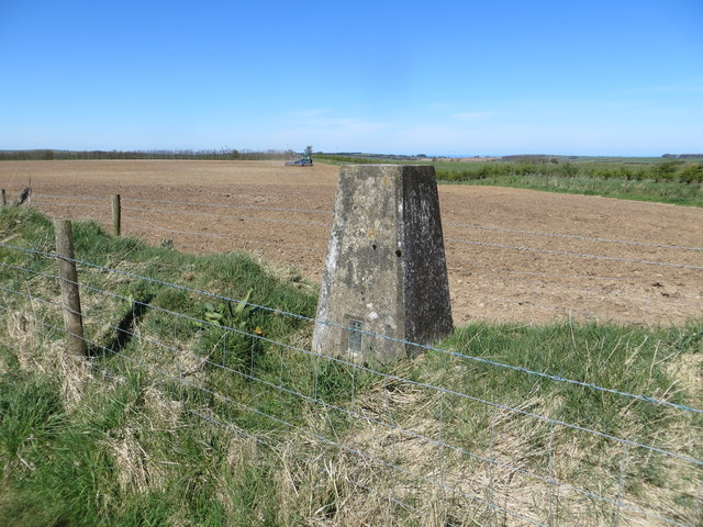
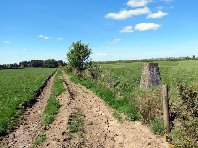
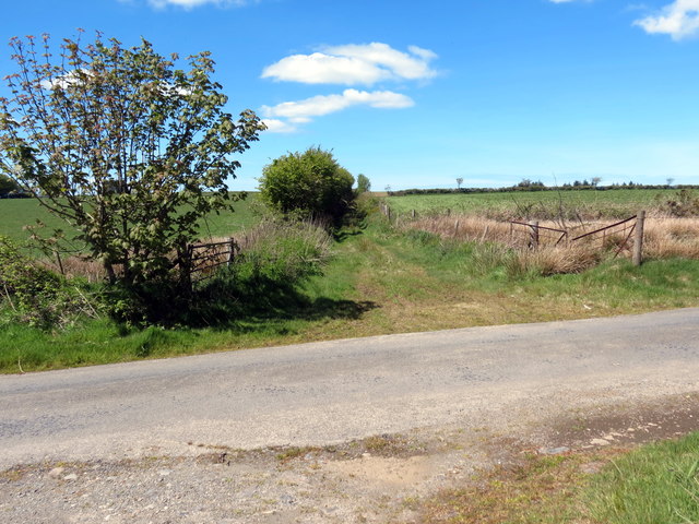
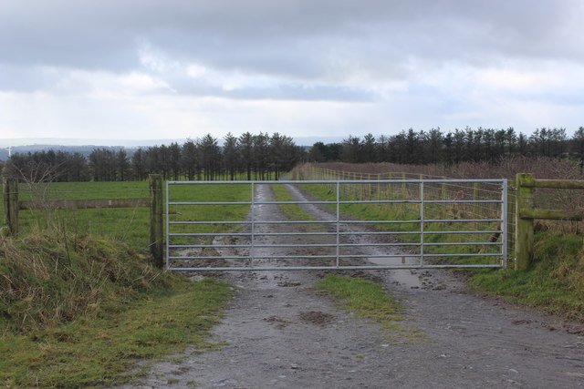
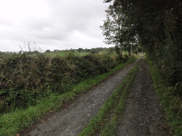
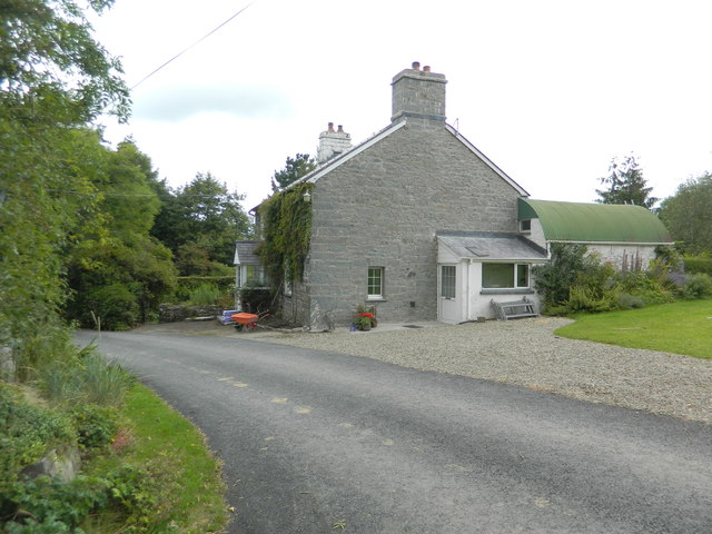
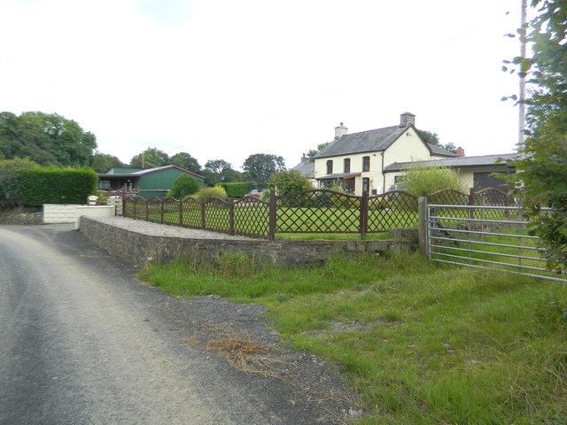
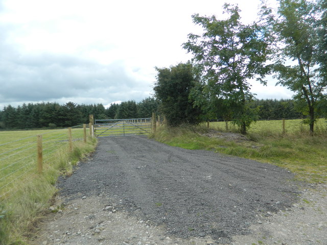
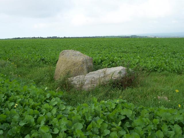
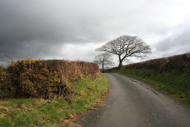
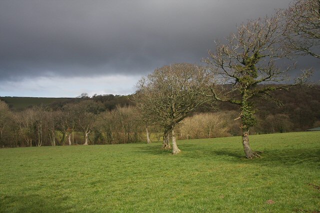
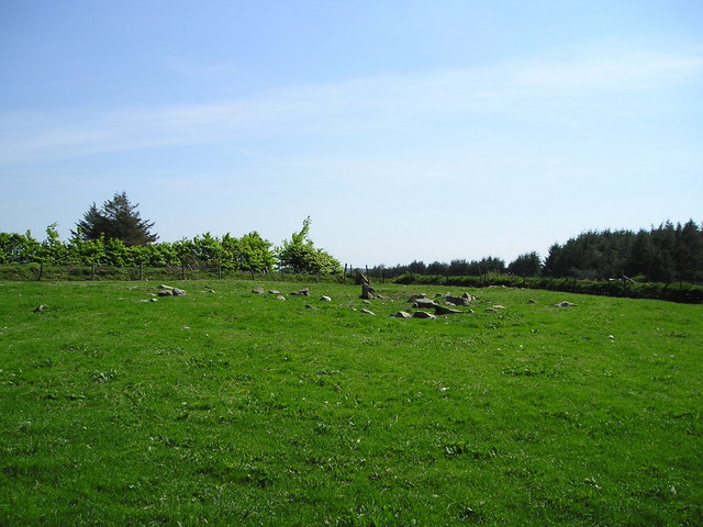
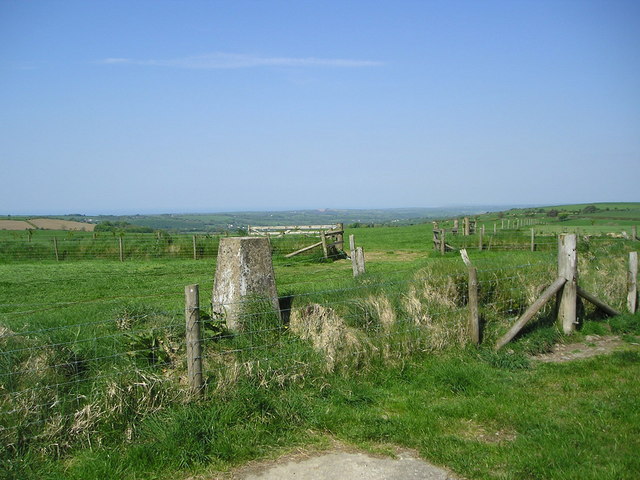
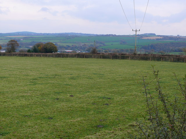
Allt Blaen-Clettwr is a stunning wood located in the county of Cardiganshire, Wales. Covering an area of approximately 200 acres, it is a beautiful forest that attracts visitors from near and far. The wood is situated on the eastern slopes of the Clettwr Valley, providing breathtaking views of the surrounding countryside.

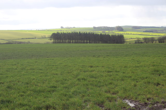
The woodland is predominantly made up of native broadleaf trees, including oak, ash, and beech. These trees create a diverse and rich habitat, supporting a wide range of flora and fauna. Birds such as red kites, buzzards, and woodpeckers can often be spotted among the treetops, while the forest floor is home to an array of wildflowers, ferns, and fungi.

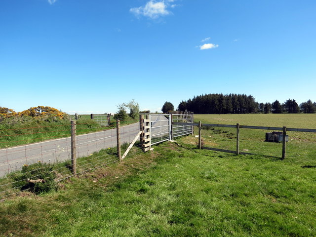
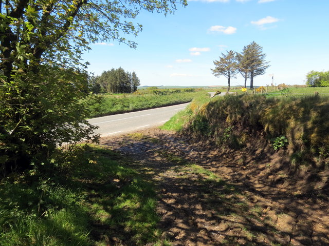
There are several well-maintained walking trails that wind their way through Allt Blaen-Clettwr, allowing visitors to explore its natural beauty. These paths vary in difficulty, catering to both casual strollers and more adventurous hikers. Along the way, there are picnic areas and benches where visitors can relax and take in the tranquil atmosphere.

The wood is also popular with nature enthusiasts and photographers, as it offers a plethora of opportunities to capture the beauty of the Welsh countryside. With its rolling hills, babbling streams, and ancient trees, Allt Blaen-Clettwr truly is a picturesque location.

Managed by the local authorities, the woodland ensures the protection and conservation of its natural resources. It promotes responsible tourism and educates visitors about the importance of preserving the environment.

Overall, Allt Blaen-Clettwr is a hidden gem in Cardiganshire, providing a peaceful retreat for those seeking to reconnect with nature and experience the beauty of a Welsh woodland.

If you have any feedback on the listing, please let us know in the comments section below.

Allt Blaen-Clettwr Images

Images are sourced within 2km of 52.154943/-4.2659094 or Grid Reference SN4553. Thanks to Geograph Open Source API. All images are credited.

Ploughed Field from Triangulation Pillar between Fences at Whilgarn Looking southward.
Ploughed Field from Triangulation Pillar between Fences at Whilgarn
Looking southward.
Llwybr ceffyl yn cyrraedd yr heol / A bridleway approaching the road Llwybr ceffyl yn cyrraedd y B4338.

A bridleway approaching the B4338.
Llwybr ceffyl yn cyrraedd yr heol / A bridleway approaching the road
Llwybr ceffyl yn cyrraedd y B4338. A bridleway approaching the B4338.
Llwybr yn cyrraedd yr heol / A path meeting the road Llwybr cyhoeddus yn cwrdd a'r B4338.

A public footpath about to join the B4338.
Llwybr yn cyrraedd yr heol / A path meeting the road
Llwybr cyhoeddus yn cwrdd a'r B4338. A public footpath about to join the B4338.
Llwybr Rhos Garn Whilgarn / Rhos Garn Whilgarn Path Llwybr cyhoeddus yn arwain at y B4338.

A public footpath heading towards the B4338.
Llwybr Rhos Garn Whilgarn / Rhos Garn Whilgarn Path
Llwybr cyhoeddus yn arwain at y B4338. A public footpath heading towards the B4338.
Llwybr y gadael heol / Path exiting a road Llwybr cyhoeddus yn gadael heol fach.

A public footpath exiting a minor road.
Llwybr y gadael heol / Path exiting a road
Llwybr cyhoeddus yn gadael heol fach. A public footpath exiting a minor road.
Start of track from B4338 to fields The track runs down the side of a field <a href="https://www.geograph.org.uk/photo/6400560">SN4551 : Field, next to B4338, and conifer plantation</a>.
Start of track from B4338 to fields
The track runs down the side of a field SN4551 : Field, next to B4338, and conifer plantation.
Field, next to B4338, and conifer plantation Rough pasture.
Field, next to B4338, and conifer plantation
Rough pasture.
Road heading for Mydroilyn Beginning to descend into the valley of the Afon Mydr, with part of Mydroilyn visible in the distance.
Road heading for Mydroilyn
Beginning to descend into the valley of the Afon Mydr, with part of Mydroilyn visible in the distance.
Track to Rhos-goch fawr This square had somehow held out until September 2011, but it was a short walk down an ungated track.
Track to Rhos-goch fawr
This square had somehow held out until September 2011, but it was a short walk down an ungated track.
Dwelling, Perthyreglwys
Castle Green
Castle Green
Conifer plantation, south of Mydroilyn
Banc Rhosgoch Fach Two standing stones at Banc Rhosgoch Fach between the villages of Mydroilyn and Llanarth. They lie just north of a footpath.
Banc Rhosgoch Fach
Two standing stones at Banc Rhosgoch Fach between the villages of Mydroilyn and Llanarth. They lie just north of a footpath.
Minor road to Mydroilyn Looking NE along the minor road that links Penybont and Mydroilyn.
Minor road to Mydroilyn
Looking NE along the minor road that links Penybont and Mydroilyn.
Field near Mydroilyn Looking northwards from the minor road between Penybont and Mydroilyn.
Field near Mydroilyn
Looking northwards from the minor road between Penybont and Mydroilyn.
Whilgarn Ancient Site These are the remains of an ancient stone structure perhaps from the ironage but there is not much to be seen on the ground. The hill, Rhos Garn Whilgarn, has a flattish top and this may have been a watch tower as there is an extensive view all round. In more modern times farmers have often removed standing stones and rocks from ancient monuments and made use of them as gateposts or lintels in buildings but this is no longer permitted.
Whilgarn Ancient Site
These are the remains of an ancient stone structure perhaps from the ironage but there is not much to be seen on the ground. The hill, Rhos Garn Whilgarn, has a flattish top and this may have been a watch tower as there is an extensive view all round. In more modern times farmers have often removed standing stones and rocks from ancient monuments and made use of them as gateposts or lintels in buildings but this is no longer permitted.
Trig Point on Rhos Garn Whilgarn This is the highest point of the hill Rhos Garn Whilgarn and this trig point has been accurately measured to be 312 metres above sea level. On the far side of Cardigan Bay, the mountains of North Wales are visible from here, but they are difficult to pick out in this photograph.
Trig Point on Rhos Garn Whilgarn
This is the highest point of the hill Rhos Garn Whilgarn and this trig point has been accurately measured to be 312 metres above sea level. On the far side of Cardigan Bay, the mountains of North Wales are visible from here, but they are difficult to pick out in this photograph.
Cae Amaethyddol ger Mydroilyn / Field Pasture near Mydroilyn Cae Amaethyddol rhwng Pantowen a Rhiwowen ger Mydroilyn / Field Pasture between Pantowen and Rhiwowen near Mydroilyn
Cae Amaethyddol ger Mydroilyn / Field Pasture near Mydroilyn
Cae Amaethyddol rhwng Pantowen a Rhiwowen ger Mydroilyn / Field Pasture between Pantowen and Rhiwowen near Mydroilyn
Show me another place!

Allt Blaen-Clettwr is located at Grid Ref: SN4553 (Lat: 52.154943, Lng: -4.2659094)

Unitary Authority: Ceredigion

Police Authority: Dyfed Powys

What 3 Words

///winners.dabbling.shots. Near Llanarth, Ceredigion

Nearby Locations

Allt Blaen-Clettwr

Related Wikis

Mydroilyn

Mydroilyn is a village in the parish of Llanarth, Ceredigion, Wales, situated along the B4342 road. The name of the village is derived from the confluence...

Talgarreg

Talgarreg is a small village in the county of Ceredigion, Wales. == Culture, history & amenities == Economically it is sustained by farming, though there...

Dolgerdd

Dolgerdd is a hamlet in the community of Llandysiliogogo, Ceredigion, Wales, which is 65.6 miles (105.5 km) from Cardiff and 183.2 miles (294.8 km) from...

Crugyreryr

Crugyreryr is a hamlet in the community of Llandysiliogogo, Ceredigion, Wales, which is 65.9 miles (106 km) from Cardiff and 183.5 miles (295.3 km) from...

Pen-cae

Pencae is a village in the community of Llanarth, Ceredigion, Wales, which is 68.2 miles (109.8 km) from Cardiff and 184 miles (296 km) from London. Pencae...

Bwlchyfadfa

Bwlchyfadfa is a hamlet in the community of Llandysul, Ceredigion, Wales, which is 64.9 miles (104.4 km) from Cardiff and 182.5 miles (293.8 km) from London...

Gorsgoch

Gorsgoch () is a small rural village located on the B4338 road near Lampeter in the county of Ceredigion, Wales. The town of Lampeter is 7 miles away and...

Dihewyd

Dihewyd is a parish in the county of Ceredigion, West Wales with a population of about 200 people. It is 5 miles (8 km) from Aberaeron and 8 miles (13...

Nearby Amenities

Located within 500m of 52.154943,-4.2659094
Power: tower
Lat/Long: 52.1529969/-4.2697196
Power: tower
Lat/Long: 52.1536428/-4.2684131
Power: tower
Lat/Long: 52.1541257/-4.2674064
Power: tower
Lat/Long: 52.1546713/-4.26624
Power: tower
Lat/Long: 52.1563193/-4.2629287
Power: tower
Lat/Long: 52.1571702/-4.2659837
Power: tower
Lat/Long: 52.1573415/-4.2608492
Power: tower
Lat/Long: 52.1583749/-4.267579
Place: farm
Lat/Long: 52.1539317/-4.2596105
Place: farm
Lat/Long: 52.1526547/-4.2632368
Place: farm
Lat/Long: 52.1594212/-4.2660263
Direction: W
Generator Method: photovoltaic
Generator Output Electricity: yes
Generator Solar Modules: 8
Generator Source: solar
Generator Type: solar_photovoltaic_panel
Location: roof
Power: generator
Lat/Long: 52.1525732/-4.2633256
Direction: E
Generator Method: photovoltaic
Generator Output Electricity: yes
Generator Solar Modules: 8
Generator Source: solar
Generator Type: solar_photovoltaic_panel
Location: roof
Power: generator
Lat/Long: 52.1525757/-4.2631567
The data included in this document is from www.openstreetmap.org. The data is made available under ODbL.

Have you been to Allt Blaen-Clettwr?

Leave your review of Allt Blaen-Clettwr below (or comments, questions and feedback).