Allt Henbant Fawr

Wood, Forest in Cardiganshire

Wales

Allt Henbant Fawr

Two unnamed roads form T-junction east of Pen-rhiw
Two unnamed roads form T-junction east of Pen-rhiw Credit: Stuart Logan

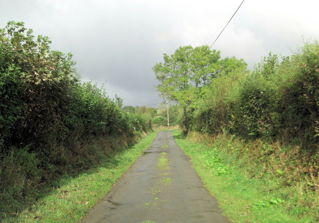
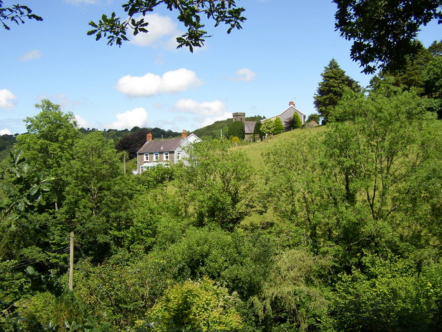
Allt Henbant Fawr is a picturesque woodland located in Cardiganshire, Wales. Covering a vast area, it is known for its dense forest and natural beauty. The woodland is situated on the slopes of a hill, providing visitors with stunning views of the surrounding countryside.

The trees in Allt Henbant Fawr are predominantly native species such as oak, beech, and birch. These trees create a lush and vibrant canopy, providing a habitat for a variety of wildlife. Visitors to the woodland may have the opportunity to spot birds such as woodpeckers, owls, and various songbirds. Small mammals like squirrels and foxes can also be spotted in the area.

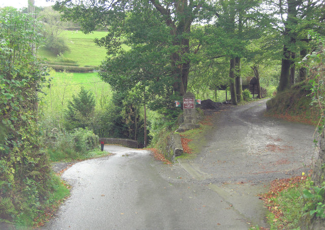
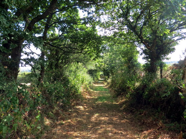
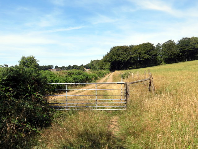
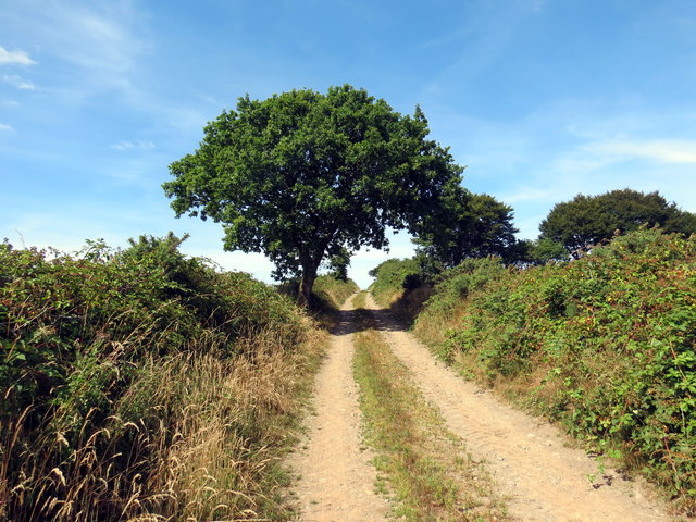
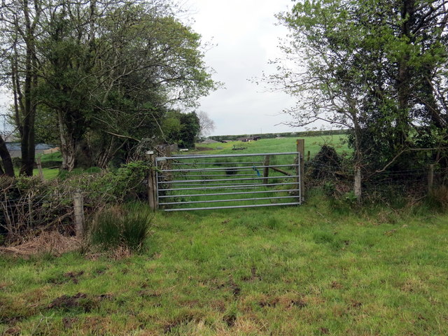
The woodland is intersected by a network of well-maintained walking trails, allowing visitors to explore and appreciate the natural wonders of Allt Henbant Fawr. The trails wind through the forest, offering a peaceful and tranquil environment for walking, hiking, or simply enjoying the beauty of nature.

The woodland is also notable for its rich history and cultural significance. It is believed that Allt Henbant Fawr has been inhabited since ancient times, with archaeological evidence suggesting human presence dating back thousands of years. The area has witnessed various historical events and is home to several ancient ruins, adding to its allure.

Overall, Allt Henbant Fawr in Cardiganshire is a captivating woodland with its abundant flora and fauna, breathtaking views, and historical significance. It is a haven for nature enthusiasts, hikers, and history buffs alike, offering a unique experience in the heart of Wales.

If you have any feedback on the listing, please let us know in the comments section below.

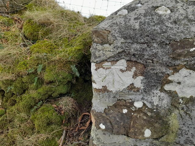
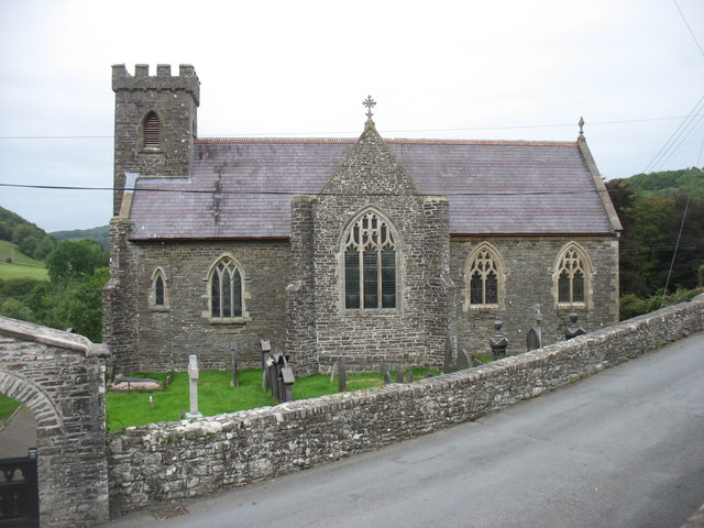
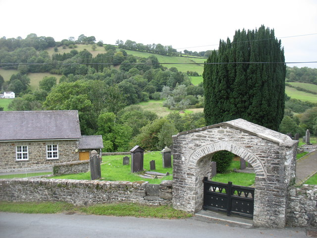
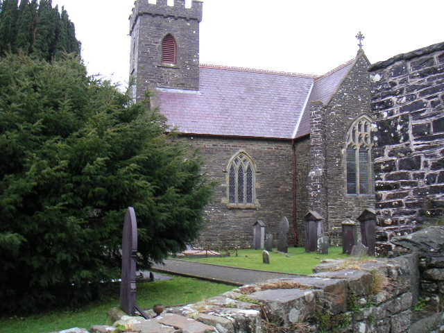
Allt Henbant Fawr Images

Images are sourced within 2km of 52.066063/-4.2636088 or Grid Reference SN4443. Thanks to Geograph Open Source API. All images are credited.

Two unnamed roads form T-junction east of Pen-rhiw
Entrance to Rock Mill On the brown sign it states 'Melin Wlan', Rock Mill, Woollen Mill. Interesting because this is the last remaining, water-powered, commercial Woollen Mill still working in Wales. The Mill was built in the 1890s by the great grandfather of the present owner and operator, Mr Donald Morgan. See: <span class="nowrap"><a title="http://www.welshmills.org.uk/rockcd.m0.html" rel="nofollow ugc noopener" href="http://www.welshmills.org.uk/rockcd.m0.html">Link</a><img style="margin-left:2px;" alt="External link" title="External link - shift click to open in new window" src="https://s1.geograph.org.uk/img/external.png" width="10" height="10"/></span>
Entrance to Rock Mill
On the brown sign it states 'Melin Wlan', Rock Mill, Woollen Mill. Interesting because this is the last remaining, water-powered, commercial Woollen Mill still working in Wales. The Mill was built in the 1890s by the great grandfather of the present owner and operator, Mr Donald Morgan. See: LinkExternal link
The substantial bus shelter at Capel Dewi Very useful if waiting for the infrequent bus in the rain!
The substantial bus shelter at Capel Dewi
Very useful if waiting for the infrequent bus in the rain!
The graveyard at Capel Dewi Unlike some, this is very well maintained.
The graveyard at Capel Dewi
Unlike some, this is very well maintained.
Capel Dewi taken from Rock Mill A particularly attractive piece of countryside.  The Afon Clettwr, a tributary of the Teifi, runs through the trees at the bottom of the picture.
Capel Dewi taken from Rock Mill
A particularly attractive piece of countryside. The Afon Clettwr, a tributary of the Teifi, runs through the trees at the bottom of the picture.
Ordnance Survey Rivet This OS rivet can be found on the churn stand at the entrance to Cors-y-fran. It marks a point 202.393m above mean sea level. <a title="https://www.geograph.org.uk/photo/7400859" href="https://www.geograph.org.uk/photo/7400859">Link</a>
Ordnance Survey Rivet
This OS rivet can be found on the churn stand at the entrance to Cors-y-fran. It marks a point 202.393m above mean sea level. Link
Churn Stand There is an Ordnance Survey rivet on the top of the stand. <a title="https://www.geograph.org.uk/photo/7400858" href="https://www.geograph.org.uk/photo/7400858">Link</a>
Churn Stand
There is an Ordnance Survey rivet on the top of the stand. Link
Ordnance Survey Cut Mark This OS cut mark can be found on the concrete post at the entrance to Cwm-Einon. It marks a point 200.695m above mean sea level.
Ordnance Survey Cut Mark
This OS cut mark can be found on the concrete post at the entrance to Cwm-Einon. It marks a point 200.695m above mean sea level.
Ordnance Survey Cut Mark This OS cut mark can be found on the gatepost south side of the road. It marks a point 256.049m above mean sea level.
Ordnance Survey Cut Mark
This OS cut mark can be found on the gatepost south side of the road. It marks a point 256.049m above mean sea level.
Llwybr ceffyl ger Penrhiw / A bridleway near Penrhiw Llwybr ceffyl yn agosau at heol fach ger Ffarm Penrhiw.

A bridleway approaching a minor road near Penrhiw Farm (trans. hilltop).
Llwybr ceffyl ger Penrhiw / A bridleway near Penrhiw
Llwybr ceffyl yn agosau at heol fach ger Ffarm Penrhiw. A bridleway approaching a minor road near Penrhiw Farm (trans. hilltop).
Tuag at Flaen Cwm / Towards Blaen Cwm Cyffordd o lwybrau ger Blaen Cwm.

A junction of paths near Blaen Cwm (trans. head of the valley).
Tuag at Flaen Cwm / Towards Blaen Cwm
Cyffordd o lwybrau ger Blaen Cwm. A junction of paths near Blaen Cwm (trans. head of the valley).
Llwybr ceffyl ger Blaen Cwm / A bridleway near Blaen Cwm Llwybr ceffyl ger Blaen Cwm.

A bridleway near Blaen Cwm (trans. head of the valley).
Llwybr ceffyl ger Blaen Cwm / A bridleway near Blaen Cwm
Llwybr ceffyl ger Blaen Cwm. A bridleway near Blaen Cwm (trans. head of the valley).
Llwybr ceffyl  / Bridleway Llwybr ceffyl yr ucheldir yn mynd drwy gae gwair

An upland bridleway going through a hay field.
Llwybr ceffyl / Bridleway
Llwybr ceffyl yr ucheldir yn mynd drwy gae gwair An upland bridleway going through a hay field.
Llwybr ceffyl ger Nantegryd / A bridleway near Nantegryd Llwybr ceffyl yn dringo'r tyle ger Ffarm Nantegryd.

A bridleway ascending a hill near Nantegryd Farm.
Llwybr ceffyl ger Nantegryd / A bridleway near Nantegryd
Llwybr ceffyl yn dringo'r tyle ger Ffarm Nantegryd. A bridleway ascending a hill near Nantegryd Farm.
Capel Dewi church
Capel Dewi church
Capel Dewi church gate With some very attractive countryside beyond. In the valley flows the Afon Clettwr.
Capel Dewi church gate
With some very attractive countryside beyond. In the valley flows the Afon Clettwr.
Llwybr Cors y Fran / Cors y Fran Path Llwybr cyhoeddus yn agosau at Ffarm Cors y Fran.

A public footpath approaching Cors y Fran Farm (trans. fen of the crow).
Llwybr Cors y Fran / Cors y Fran Path
Llwybr cyhoeddus yn agosau at Ffarm Cors y Fran. A public footpath approaching Cors y Fran Farm (trans. fen of the crow).
Llwybr Ceffyl Cwm Einon / Cwm Einon Bridleway Llwybr ceffyl yn gadael trac ac yn mynd o amgylch y ffarm.

A bridleway exits the track and proceeds around the farm.
Llwybr Ceffyl Cwm Einon / Cwm Einon Bridleway
Llwybr ceffyl yn gadael trac ac yn mynd o amgylch y ffarm. A bridleway exits the track and proceeds around the farm.
Show me another place!

Allt Henbant Fawr is located at Grid Ref: SN4443 (Lat: 52.066063, Lng: -4.2636088)

Unitary Authority: Ceredigion

Police Authority: Dyfed Powys

What 3 Words

///evenings.distanced.waffle. Near Llandysul, Ceredigion

Related Wikis

Derlwyn, Ceredigion

Derlwyn is a small village in the community of Llandysul, Ceredigion, Wales, which is 61.4 miles (98.8 km) from Cardiff and 180.9 miles (291.1 km) from...

Bryngolau

Bryngolau is a small village in the community of Llandysul, Ceredigion, Wales, which is 62.2 miles (100.1 km) from Cardiff and 181.5 miles (292.1 km)...

Capel Dewi, Llandysul

Capel Dewi is a small village in the county of Ceredigion, Wales. The village lies in the Clettwr Valley mostly on the eastern bank of the River Clettwr...

Rock Mill Llandysul

Rock Mill Llandysul (Welsh: Melin Wlân), in Capel Dewi, Llandysul, Ceredigion, is the last woollen mill in Wales to be powered by a water wheel. ��2�...

Nearby Amenities

Located within 500m of 52.066063,-4.2636088
Direction: 175
Generator Method: photovoltaic
Generator Output Electricity: yes
Generator Solar Modules: 8
Generator Source: solar
Generator Type: solar_photovoltaic_panel
Location: roof
Power: generator
Lat/Long: 52.0677811/-4.2602156
Direction: 175
Generator Method: photovoltaic
Generator Output Electricity: yes
Generator Solar Modules: 7
Generator Source: solar
Generator Type: solar_photovoltaic_panel
Location: roof
Power: generator
Lat/Long: 52.0677231/-4.260342
The data included in this document is from www.openstreetmap.org. The data is made available under ODbL.

Have you been to Allt Henbant Fawr?

Leave your review of Allt Henbant Fawr below (or comments, questions and feedback).