Bryngolau Plantation
Wood, Forest in Cardiganshire
Wales
Bryngolau Plantation
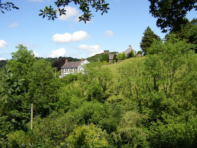
Bryngolau Plantation is a picturesque woodland located in Cardiganshire, Wales. Stretching across a vast area of land, this plantation is a haven for nature enthusiasts and those seeking tranquility amidst the beauty of the countryside.
The plantation is primarily composed of various species of trees, creating a dense forest canopy that provides shelter and habitat for a wide array of wildlife. Majestic oaks, towering beech trees, and graceful birches dominate the landscape, while smaller shrubs and ferns add to the diversity of the vegetation.
Walking through Bryngolau Plantation, visitors are treated to a symphony of natural sounds. Birds chirping, leaves rustling in the wind, and the occasional scurrying of woodland creatures create a soothing atmosphere. The air is rich with the earthy scent of moss and damp soil, adding to the sensory experience.
Throughout the plantation, there are several well-maintained trails that allow visitors to explore the area at their own pace. These paths wind their way through the forest, offering glimpses of sunlight filtering through the dense foliage and revealing pockets of wildflowers that bloom in vibrant colors during the spring and summer months.
Bryngolau Plantation is not only a haven for wildlife but also a popular destination for outdoor activities such as hiking, birdwatching, and photography. Its serene ambiance and stunning natural beauty make it an ideal spot for those seeking a peaceful retreat from the hustle and bustle of everyday life.
In conclusion, Bryngolau Plantation in Cardiganshire is a captivating woodland that offers a diverse range of flora and fauna, as well as a tranquil environment for visitors to immerse themselves in the wonders of nature.
If you have any feedback on the listing, please let us know in the comments section below.
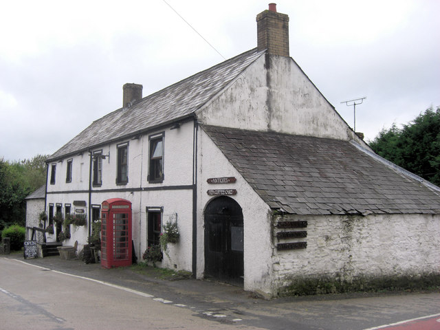
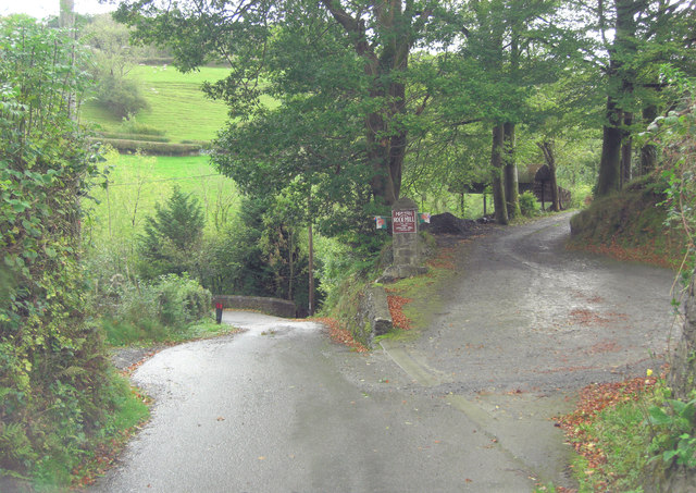
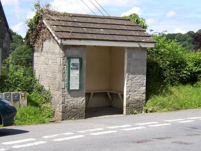
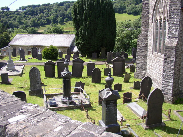
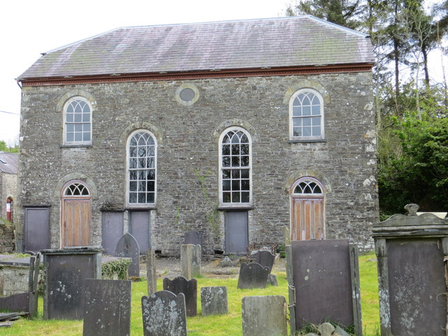
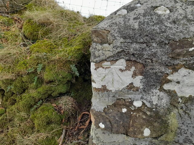
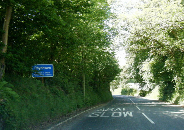
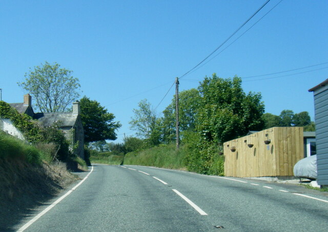
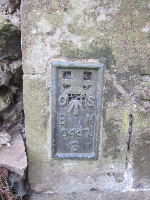
Bryngolau Plantation Images
Images are sourced within 2km of 52.069151/-4.2671648 or Grid Reference SN4443. Thanks to Geograph Open Source API. All images are credited.


Bryngolau Plantation is located at Grid Ref: SN4443 (Lat: 52.069151, Lng: -4.2671648)
Unitary Authority: Ceredigion
Police Authority: Dyfed Powys
What 3 Words
///shuttle.snowboard.waking. Near Llandysul, Ceredigion
Nearby Locations
Related Wikis

Bryngolau
Bryngolau is a small village in the community of Llandysul, Ceredigion, Wales, which is 62.2 miles (100.1 km) from Cardiff and 181.5 miles (292.1 km)...
Derlwyn, Ceredigion
Derlwyn is a small village in the community of Llandysul, Ceredigion, Wales, which is 61.4 miles (98.8 km) from Cardiff and 180.9 miles (291.1 km) from...
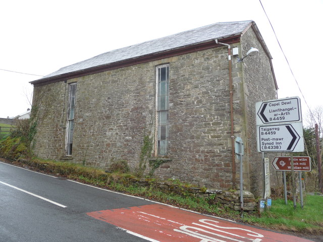
Capel Dewi, Llandysul
Capel Dewi is a small village in the county of Ceredigion, Wales. The village lies in the Clettwr Valley mostly on the eastern bank of the River Clettwr...

Rock Mill Llandysul
Rock Mill Llandysul (Welsh: Melin Wlân), in Capel Dewi, Llandysul, Ceredigion, is the last woollen mill in Wales to be powered by a water wheel. ��2�...
Nearby Amenities
Located within 500m of 52.069151,-4.2671648Have you been to Bryngolau Plantation?
Leave your review of Bryngolau Plantation below (or comments, questions and feedback).