Allt Penycoed
Wood, Forest in Carmarthenshire
Wales
Allt Penycoed

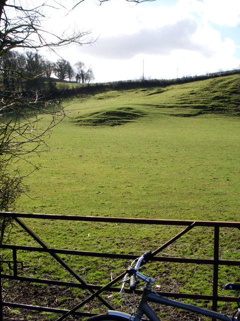
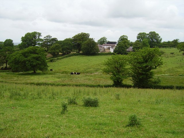
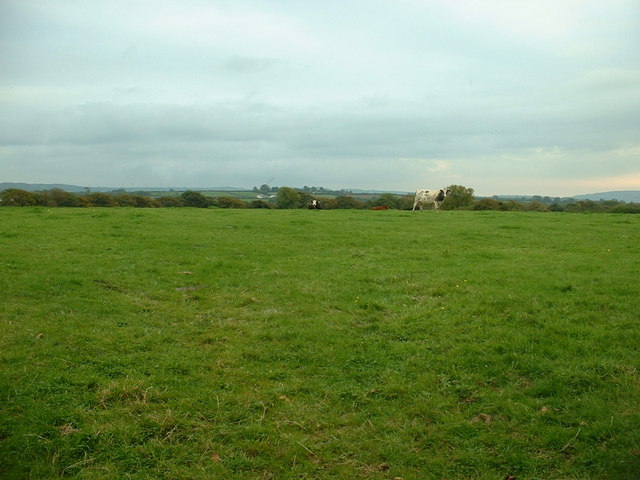
Allt Penycoed is a picturesque wooded area located in Carmarthenshire, Wales. Situated in the western part of the county, this forested land spans over an impressive 100 acres. The name "Allt Penycoed" translates to "Wood Hill" in English, which aptly describes the dominant natural feature of the area.
The forest is known for its diverse range of tree species, including oak, beech, ash, and pine, creating a stunning tapestry of colors throughout the year. The thick foliage provides a haven for a variety of wildlife, such as deer, foxes, and numerous bird species, making it a popular spot for nature enthusiasts and birdwatchers alike.
Allt Penycoed offers several walking trails that wind through its scenic landscapes, providing visitors with opportunities to immerse themselves in nature. These well-maintained paths lead to breathtaking viewpoints, where visitors can enjoy panoramic vistas of the surrounding countryside and the distant Carmarthenshire hills.
The forest is also equipped with picnic areas and benches, allowing visitors to relax and unwind amidst the tranquil ambiance. Due to its accessibility and family-friendly facilities, Allt Penycoed attracts a wide range of visitors, from local residents seeking a peaceful retreat to tourists looking for an authentic Welsh natural experience.
Overall, Allt Penycoed in Carmarthenshire is a haven of natural beauty, offering visitors the chance to escape the hustle and bustle of everyday life and immerse themselves in the serenity of a Welsh woodland.
If you have any feedback on the listing, please let us know in the comments section below.
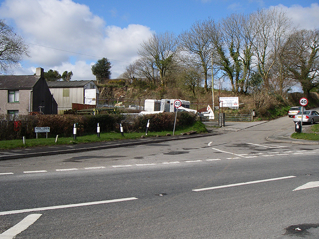
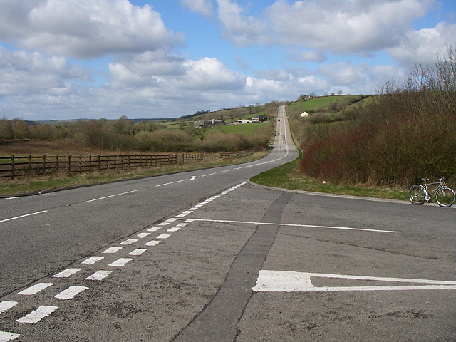
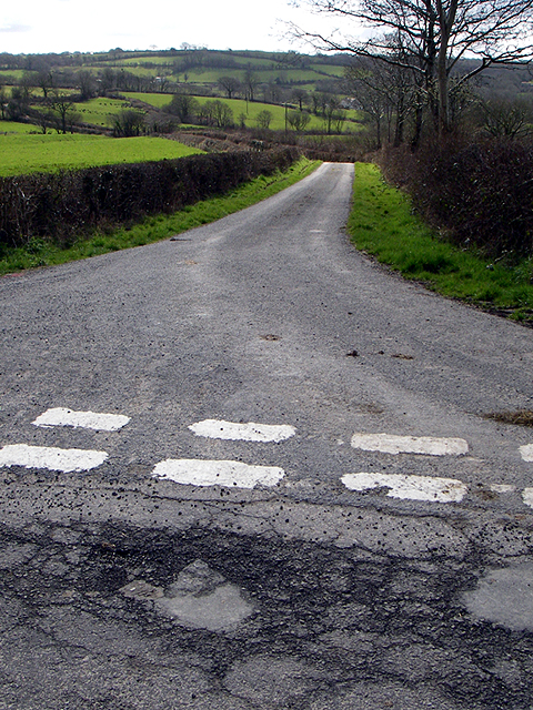
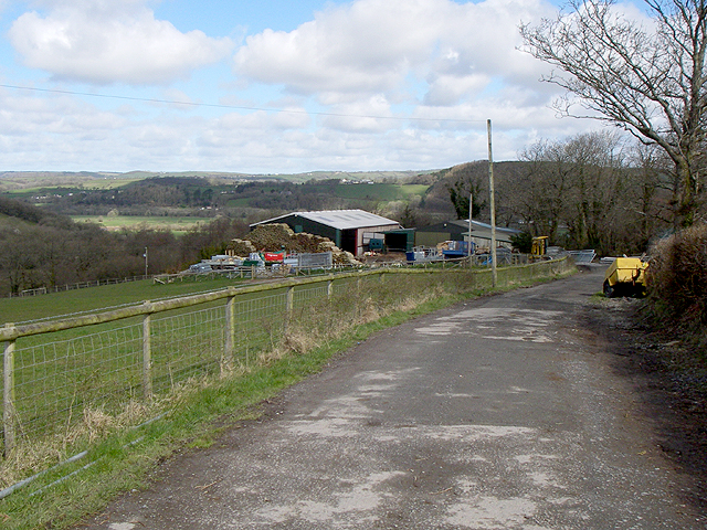
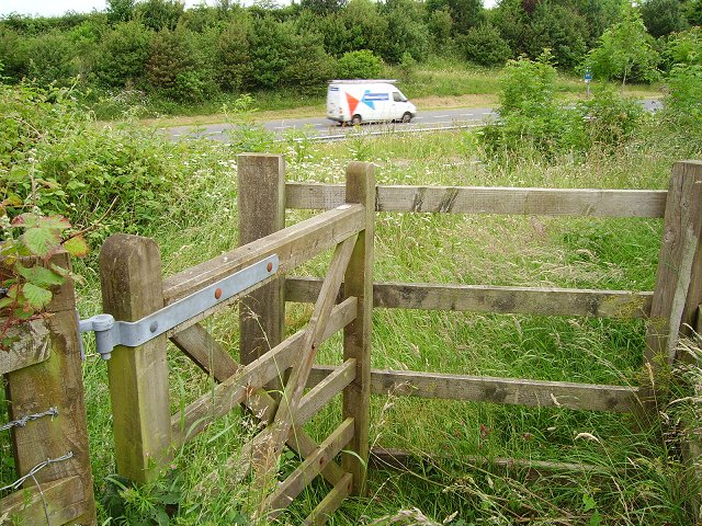
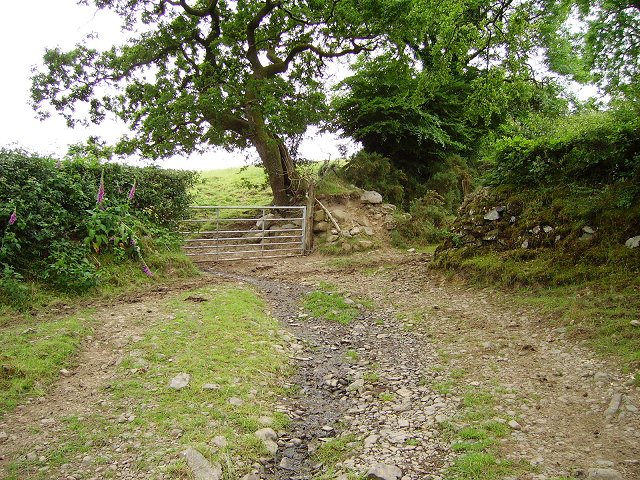
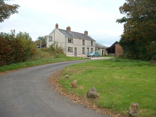
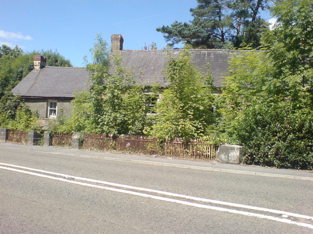
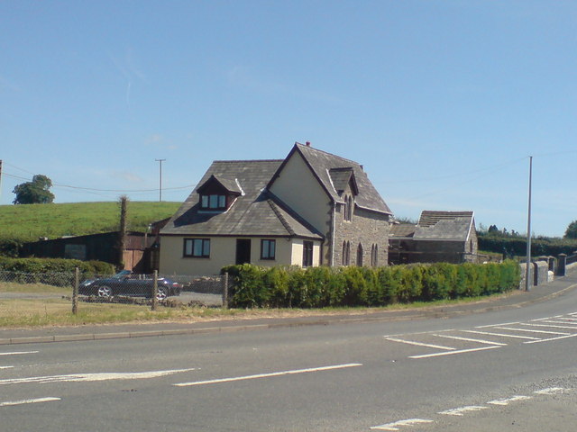
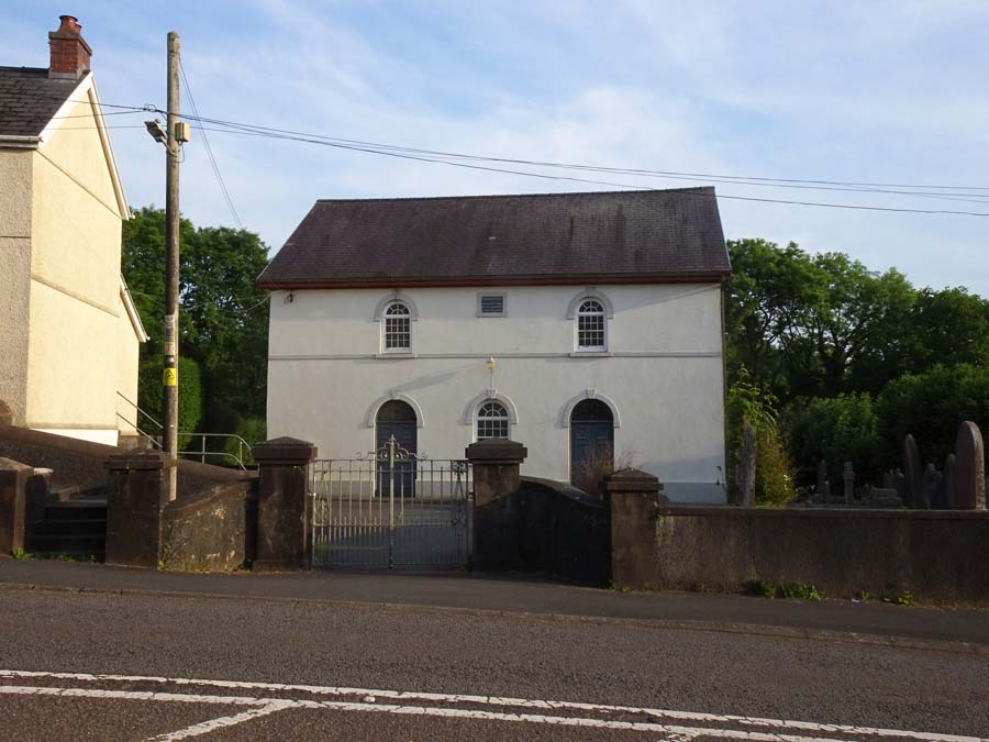
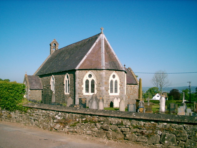
Allt Penycoed Images
Images are sourced within 2km of 51.841888/-4.2599923 or Grid Reference SN4418. Thanks to Geograph Open Source API. All images are credited.
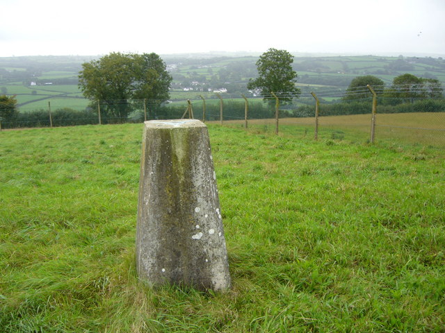
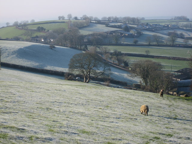
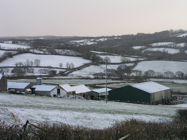

Allt Penycoed is located at Grid Ref: SN4418 (Lat: 51.841888, Lng: -4.2599923)
Unitary Authority: Carmarthenshire
Police Authority: Dyfed Powys
What 3 Words
///supplier.warp.swam. Near Carmarthen, Carmarthenshire
Nearby Locations
Related Wikis

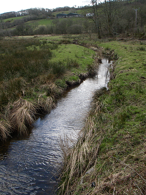
Allt Penycoed Stream Section
Allt Penycoed Stream Section is a Site of Special Scientific Interest (or SSSI) in Carmarthenshire, Wales. It is protected by law and has been designated...
Nantycaws
Nantycaws or Nant-y-caws is a rural settlement in the community of Llangunnor, Carmarthenshire, Wales. 'Nant y caws' is Welsh for 'River of the cheese...

Llangunnor
Llangunnor is a village and community located in Carmarthenshire, Wales. It is the southern suburb of Carmarthen town and consists mainly of typical suburban...
Cwmffrwd
Cwmffrwd is a village in Carmarthenshire, Wales, located around two miles (3.2 km) south of Carmarthen. Cwmffrwd is mainly a 20th-century settlement dominating...
Nearby Amenities
Located within 500m of 51.841888,-4.2599923Have you been to Allt Penycoed?
Leave your review of Allt Penycoed below (or comments, questions and feedback).