Llangunnor
Community in Carmarthenshire
Wales
Llangunnor
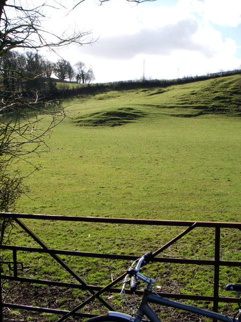
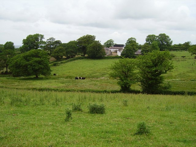
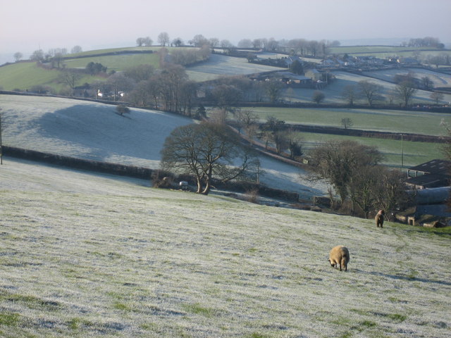
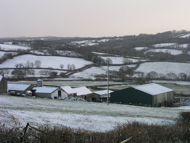
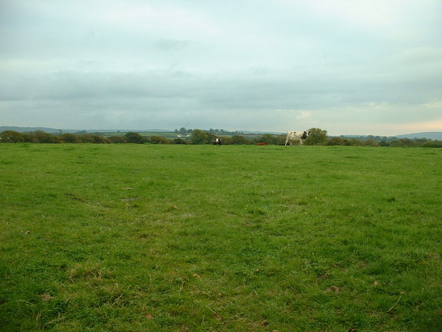
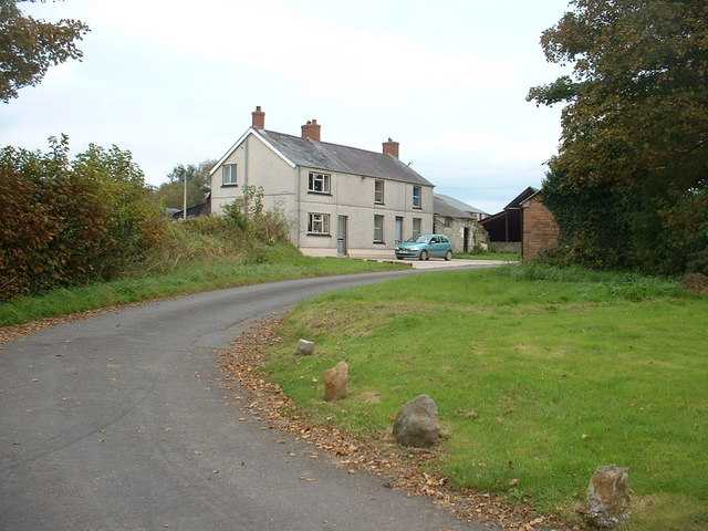
Llangunnor is a community located in the county of Carmarthenshire, Wales. Situated just a few miles north of the town of Carmarthen, Llangunnor covers an area of approximately 18 square kilometers. The community is predominantly rural, with picturesque countryside and rolling hills surrounding its quaint villages and hamlets.
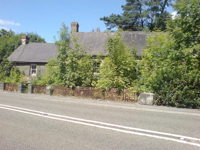
Llangunnor has a rich history dating back centuries, with evidence of human settlement in the area from the Bronze Age. The community is home to several historic sites, including St. Cynwyl's Church, a medieval church that dates back to the 12th century. The church is known for its beautiful architecture and intricate carvings.
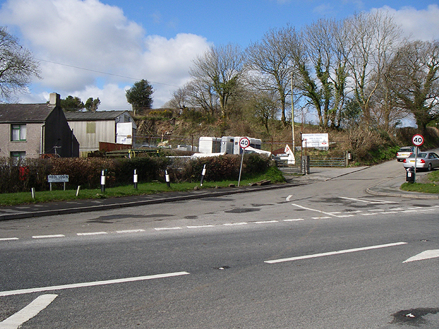
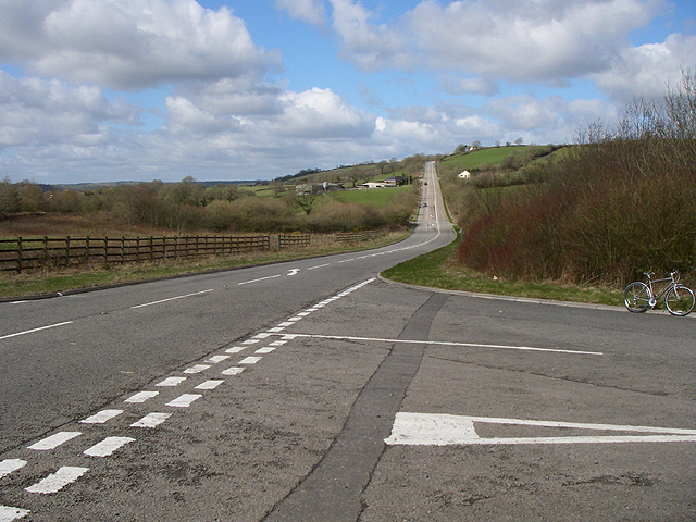
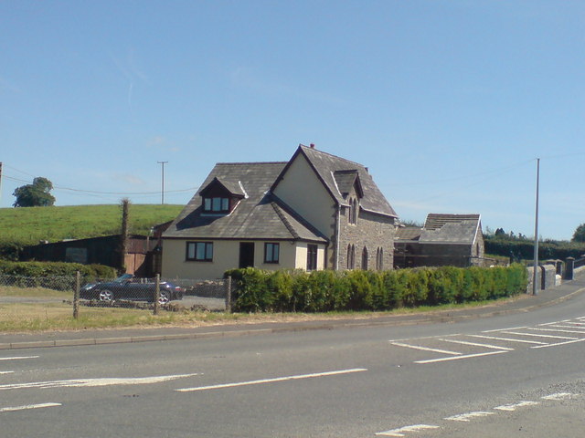
In terms of amenities, Llangunnor offers a range of services to its residents. There are several primary schools in the area, ensuring that children have access to education locally. The community is well-connected by road, with easy access to the A40, which provides links to Carmarthen and other nearby towns.
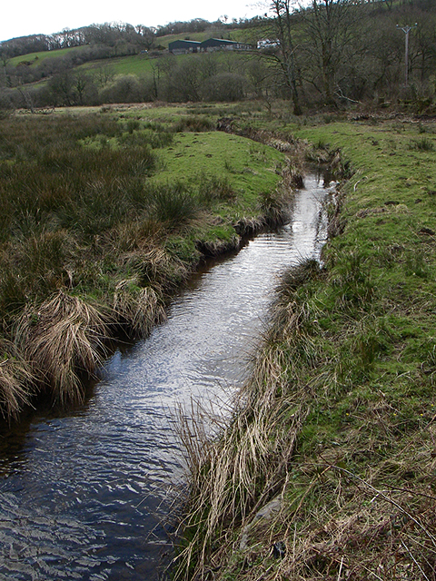
Llangunnor is also blessed with natural beauty, with the River Towy flowing through the community. This offers opportunities for outdoor activities such as fishing and boating. The surrounding countryside is ideal for hiking, cycling, and exploring nature.
Overall, Llangunnor is a peaceful and idyllic community, offering a high quality of life to its residents. With its rich history, stunning landscapes, and convenient amenities, it is a sought-after place to live for those seeking a rural lifestyle within reach of urban conveniences.
If you have any feedback on the listing, please let us know in the comments section below.
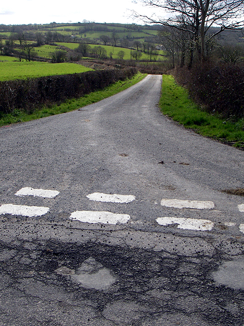
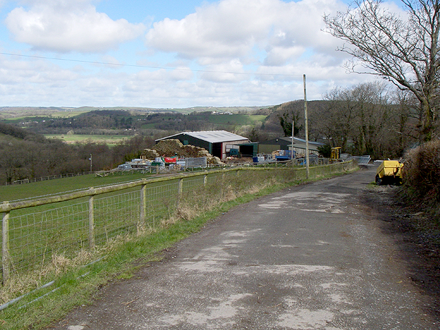
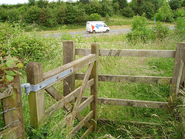
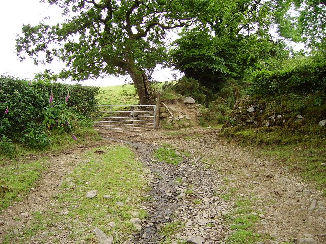
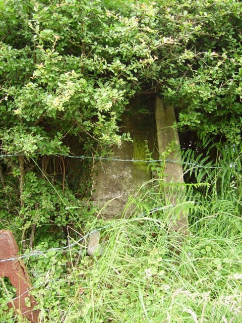
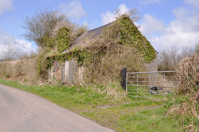
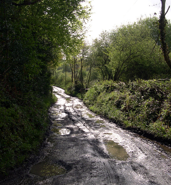
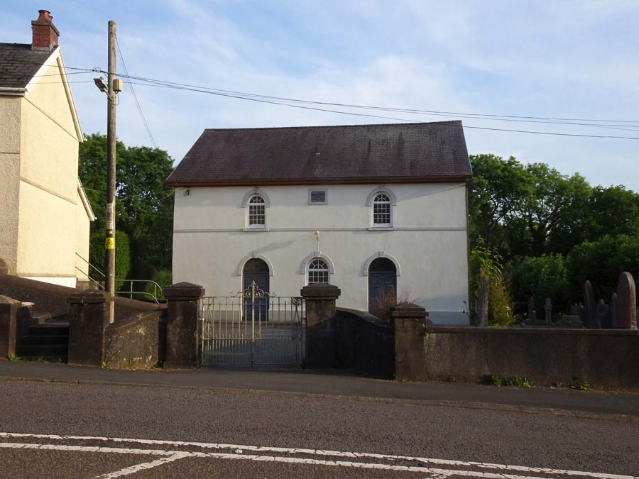
Llangunnor Images
Images are sourced within 2km of 51.843779/-4.25649 or Grid Reference SN4418. Thanks to Geograph Open Source API. All images are credited.
Llangunnor is located at Grid Ref: SN4418 (Lat: 51.843779, Lng: -4.25649)
Unitary Authority: Carmarthenshire
Police Authority: Dyfed-Powys
Also known as: Llangynnwr
What 3 Words
///clapper.swatting.streak. Near Carmarthen, Carmarthenshire
Nearby Locations
Related Wikis
Nantycaws
Nantycaws or Nant-y-caws is a rural settlement in the community of Llangunnor, Carmarthenshire, Wales. 'Nant y caws' is Welsh for 'River of the cheese...

Allt Penycoed Stream Section
Allt Penycoed Stream Section is a Site of Special Scientific Interest (or SSSI) in Carmarthenshire, Wales. It is protected by law and has been designated...

Llangunnor
Llangunnor is a village and community located in Carmarthenshire, Wales. It is the southern suburb of Carmarthen town and consists mainly of typical suburban...
Bishops Pond
Bishops Pond (Welsh: Pwll yr Esgob) is a Site of Special Scientific Interest in Carmarthenshire, Wales, lying adjacent to the former palace of the Bishop...
Nearby Amenities
Located within 500m of 51.843779,-4.25649Have you been to Llangunnor?
Leave your review of Llangunnor below (or comments, questions and feedback).