Allt Cefn-Llanfair
Wood, Forest in Cardiganshire
Wales
Allt Cefn-Llanfair

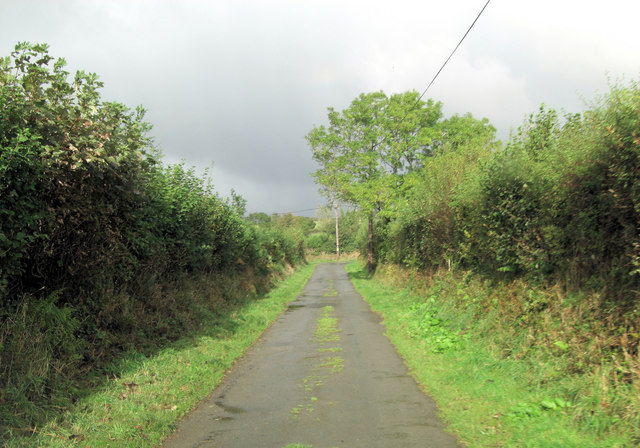
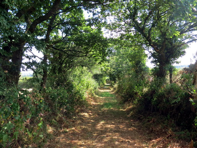
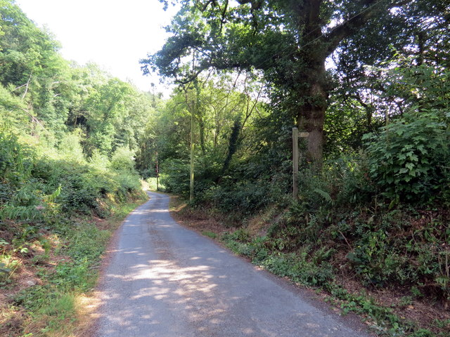
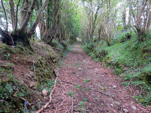
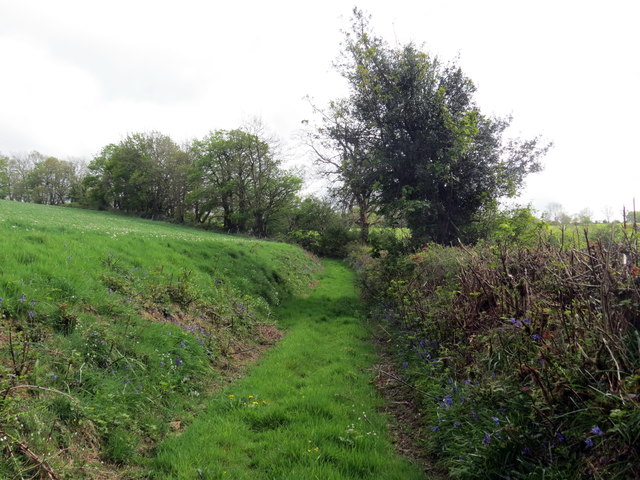
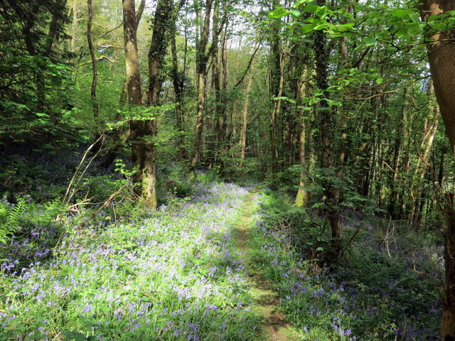
Allt Cefn-Llanfair is a picturesque woodland located in the county of Cardiganshire, Wales. Spanning over a vast area, this forest is a natural haven for flora and fauna, offering a serene and tranquil environment for visitors to explore.
The woodland is primarily composed of towering oak trees, intermingled with beech, ash, and hazel trees. The dense canopy formed by these trees provides a cool shade, creating a pleasant ambiance even on hot summer days. The forest floor is covered in a carpet of lush green moss and ferns, adding to its ethereal beauty.
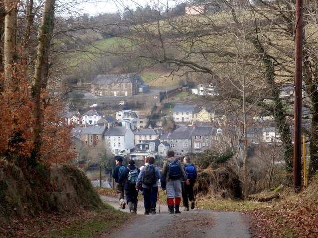
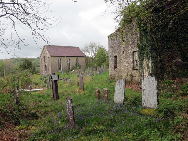
Allt Cefn-Llanfair is home to a diverse range of wildlife, making it a popular spot for nature enthusiasts and birdwatchers. Visitors can spot a variety of species, including red kites, buzzards, woodpeckers, and owls. If lucky, one might even catch a glimpse of elusive woodland creatures such as badgers, foxes, and deer.
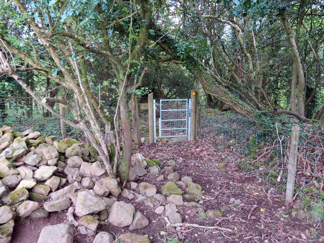
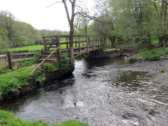
The woodland offers various walking trails, allowing visitors to explore its natural wonders at their own pace. These trails wind through the forest, offering breathtaking views of the surrounding countryside. Nature lovers can also engage in activities such as picnicking, photography, and simply immersing themselves in the peaceful atmosphere.
Allt Cefn-Llanfair is well-maintained, with designated parking areas and signposts guiding visitors through the forest. It is advisable to wear appropriate footwear and carry insect repellent, as the forest can become muddy and attract insects during wetter seasons.
Overall, Allt Cefn-Llanfair is a captivating woodland that showcases the beauty of nature in the heart of Cardiganshire.
If you have any feedback on the listing, please let us know in the comments section below.
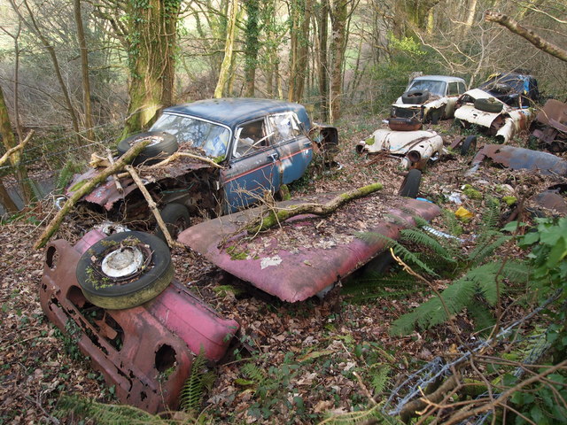
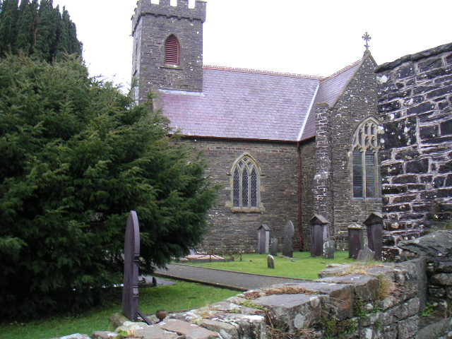
Allt Cefn-Llanfair Images
Images are sourced within 2km of 52.041383/-4.2722916 or Grid Reference SN4440. Thanks to Geograph Open Source API. All images are credited.


Allt Cefn-Llanfair is located at Grid Ref: SN4440 (Lat: 52.041383, Lng: -4.2722916)
Unitary Authority: Ceredigion
Police Authority: Dyfed Powys
What 3 Words
///devalued.snapper.computer. Near Llandysul, Ceredigion
Nearby Locations
Related Wikis

Craig Gwrtheyrn
Craig Gwrtheyrn, or Caer Gwrtheyrn, is an Iron Age hillfort on the south side of the River Teifi, about 1.2 miles (1.9 km) west of the village of Llanfihangel...

Llanfihangel-ar-Arth
Llanfihangel-ar-Arth is a village and community in the county of Carmarthenshire, Wales. The area includes six villages: Alltwalis, Dolgran, Gwyddgrug...
Waunifor
Waunifor or Waun Ifor (Welsh: "Ifor's Meadow") is a historic estate, once the seat of the Lloyd and Bowen families, located in the small village community...

Rock Mill Llandysul
Rock Mill Llandysul (Welsh: Melin Wlân), in Capel Dewi, Llandysul, Ceredigion, is the last woollen mill in Wales to be powered by a water wheel. ��2�...
Derlwyn, Ceredigion
Derlwyn is a small village in the community of Llandysul, Ceredigion, Wales, which is 61.4 miles (98.8 km) from Cardiff and 180.9 miles (291.1 km) from...
Faerdrefawr
Faerdrefawr is a small village in the community of Llandysul, Ceredigion, Wales, which is 62.2 miles (100 km) from Cardiff and 182 miles (293 km) from...
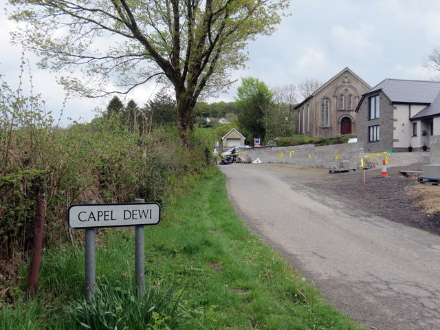
Capel Dewi, Llandysul
Capel Dewi is a small village in the county of Ceredigion, Wales. The village lies in the Clettwr Valley mostly on the eastern bank of the River Clettwr...
Blaenborthyn
Blaenborthyn is a small village in the community of Llandysul, Ceredigion, Wales, which is 60.4 miles (97.2 km) from Cardiff and 179.9 miles (289.5 km...
Nearby Amenities
Located within 500m of 52.041383,-4.2722916Have you been to Allt Cefn-Llanfair?
Leave your review of Allt Cefn-Llanfair below (or comments, questions and feedback).