Home Covert

Wood, Forest in Carmarthenshire

Wales

Home Covert

Bridge over disused railway at Pont Newydd The railway up the Gwendraeth Fawr valley is no more, but the road still has to cross it. There are three marked bridges at Pont Newydd: this one where the road crosses the railway, another where the road crosses the river, and a third where the railway crosses the river - though I didn't see that one. There now seems to be a maintained path alongside the former railway. At Pont Newydd you'd be forgiven for thinking there was an overgrown canal, but if you look through the weeds you can see submerged rusting rails. This is a bit of a surprise, since railways usually have such good drainage.
Bridge over disused railway at Pont Newydd Credit: Nigel Davies

Home Covert is a picturesque woodland area located in Carmarthenshire, Wales. This enchanting forest is known for its dense canopy of trees, which provides a peaceful and serene atmosphere for visitors to enjoy. The woodland is home to a variety of native flora and fauna, making it a popular spot for nature enthusiasts and wildlife lovers.

Visitors to Home Covert can explore the winding trails that lead through the forest, taking in the sights and sounds of the natural surroundings. The woodland is a haven for birdwatchers, with a diverse range of bird species calling the area home.

In addition to its natural beauty, Home Covert also holds historical significance, with remnants of ancient structures and settlements scattered throughout the forest. Archaeological enthusiasts can uncover the secrets of the past while exploring the wooded paths.

Whether looking to immerse oneself in nature, spot wildlife, or delve into history, Home Covert offers something for everyone. With its tranquil setting and rich biodiversity, this woodland in Carmarthenshire is a must-visit destination for those seeking a peaceful retreat into the heart of nature.

If you have any feedback on the listing, please let us know in the comments section below.
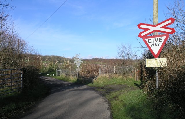
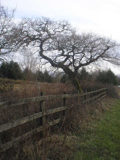
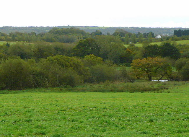
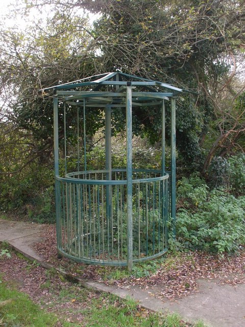
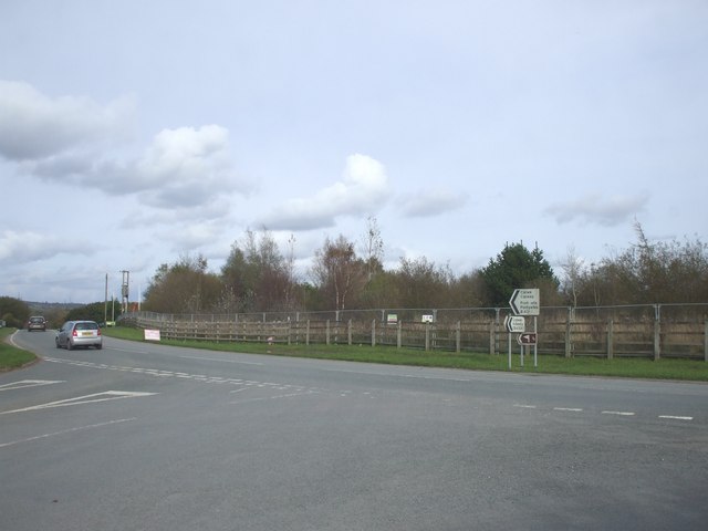
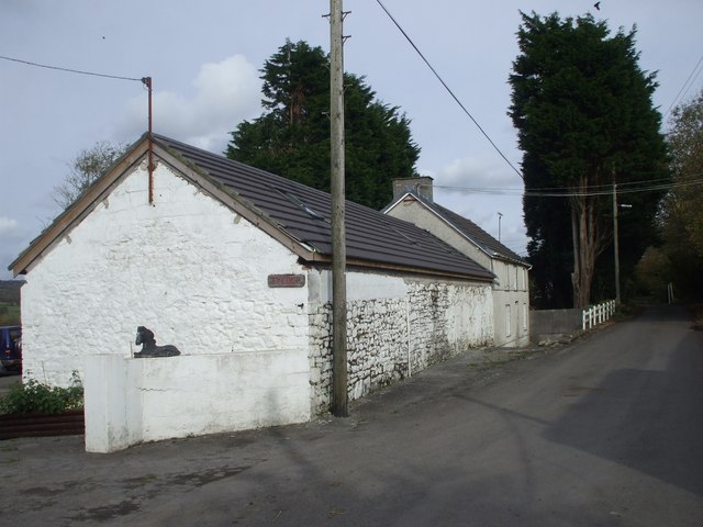
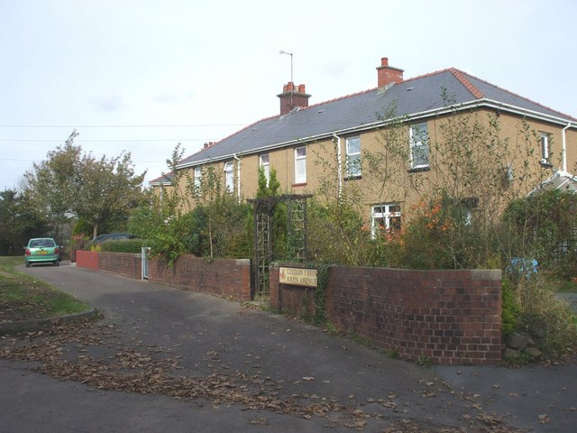
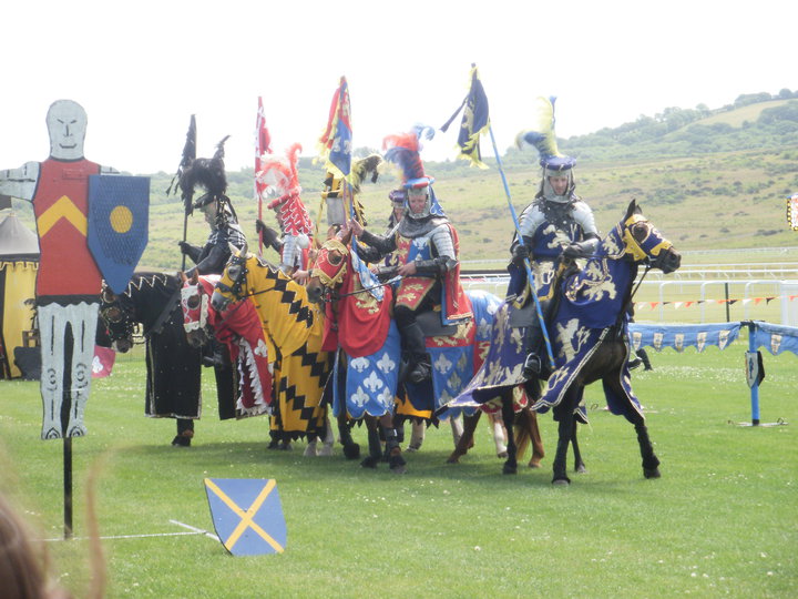
Home Covert Images

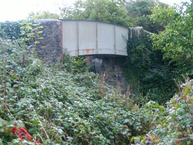
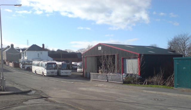
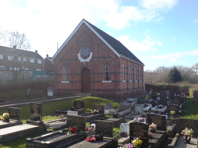
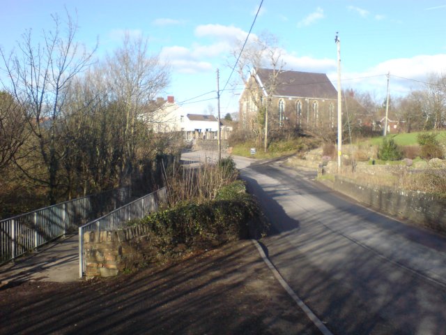
Images are sourced within 2km of 51.729067/-4.2566318 or Grid Reference SN4405. Thanks to Geograph Open Source API. All images are credited.

Bridge over disused railway at Pont Newydd The railway up the Gwendraeth Fawr valley is no more, but the road still has to cross it. There are three marked bridges at Pont Newydd: this one where the road crosses the railway, another where the road crosses the river, and a third where the railway crosses the river - though I didn't see that one. There now seems to be a maintained path alongside the former railway. At Pont Newydd you'd be forgiven for thinking there was an overgrown canal, but if you look through the weeds you can see submerged rusting rails. This is a bit of a surprise, since railways usually have such good drainage.
Bridge over disused railway at Pont Newydd
The railway up the Gwendraeth Fawr valley is no more, but the road still has to cross it. There are three marked bridges at Pont Newydd: this one where the road crosses the railway, another where the road crosses the river, and a third where the railway crosses the river - though I didn't see that one. There now seems to be a maintained path alongside the former railway. At Pont Newydd you'd be forgiven for thinking there was an overgrown canal, but if you look through the weeds you can see submerged rusting rails. This is a bit of a surprise, since railways usually have such good drainage.
Gwynne Price Coaches depot This is the depot and headquarters of Gwynne Price coaches in Trimsaran.  A small stream goes under a bridge in the foreground.
Gwynne Price Coaches depot
This is the depot and headquarters of Gwynne Price coaches in Trimsaran. A small stream goes under a bridge in the foreground.
Noddfa Chapel, Trimsaran One of the many non-conformist chapels that are found in this part of the country.
Noddfa Chapel, Trimsaran
One of the many non-conformist chapels that are found in this part of the country.
Bridge over the river Morlais A small road bridge and even smaller foot bridge span the river Morlais in Trimsaran.  A chapel can be seen in the distance on the road curve.
Bridge over the river Morlais
A small road bridge and even smaller foot bridge span the river Morlais in Trimsaran. A chapel can be seen in the distance on the road curve.
Road bridge over disused railway line The railway line that this road crosses was almost completely obscured by trees that looked like they'd been growing for at least 10 years - the tracks, although there, were completely obscured.
Road bridge over disused railway line
The railway line that this road crosses was almost completely obscured by trees that looked like they'd been growing for at least 10 years - the tracks, although there, were completely obscured.
Level crossing... This level crossing's signs are looking quite modern - however it's about the only evidence that a railway used to cross this road!  The road has obviously been resurfaced since the railway closed and careful examination revealed that the rails are still there - under the tarmac!  On both sides, there was some healthy overgrowth - no train has travelled along this line for a long time.
Level crossing...
This level crossing's signs are looking quite modern - however it's about the only evidence that a railway used to cross this road! The road has obviously been resurfaced since the railway closed and careful examination revealed that the rails are still there - under the tarmac! On both sides, there was some healthy overgrowth - no train has travelled along this line for a long time.
Farm gate and pylons In the middle of rural Wales, a farm gate into a field.  Two lines of power lines run over the horizon towards the west.
Farm gate and pylons
In the middle of rural Wales, a farm gate into a field. Two lines of power lines run over the horizon towards the west.
Track to Bont Farm This track leads up to Bont Farm from the B4308.
Track to Bont Farm
This track leads up to Bont Farm from the B4308.
The B4308 travelling East View of the B4308 just before a bend, though not as sharp as the bi-lingual sign would have you believe.
The B4308 travelling East
View of the B4308 just before a bend, though not as sharp as the bi-lingual sign would have you believe.
Oak Tree, Carway to Trimsaran road
The Gwendraeth Fawr valley A beautiful corner of south-west Wales.
The Gwendraeth Fawr valley
A beautiful corner of south-west Wales.
Wern Farm
Wern Farm
Pillbox at the junction of the B4317 with the B4308
Bridge near Llandyry
Elaborate kissing gate
Junction on the B4317
Ty-coch Farm Ty-gwyn would have seemed a more accurate name
Ty-coch Farm
Ty-gwyn would have seemed a more accurate name
Coedlan y Bryn
Coedlan y Bryn
Show me another place!

Home Covert is located at Grid Ref: SN4405 (Lat: 51.729067, Lng: -4.2566318)

Unitary Authority: Carmarthenshire

Police Authority: Dyfed Powys

What 3 Words

///painting.precautions.companies. Near Trimsaran, Carmarthenshire

Nearby Locations

Home Covert Trimsaran

Related Wikis

Trimsaran Road railway station

Trimsaran Road railway station was opened in 1909 at Morfa It continued to serve the inhabitants of the Trimsaran area between 1909 and 1953 and was one...

Ffos Las

Ffos Las is a rural area between the villages of Carway and Trimsaran, north of the town of Llanelli in the Gwendraeth Valley in Carmarthenshire, Wales...

Ffos Las racecourse

The Ffos Las racecourse (strictly: Ffos Las Racecourse & Conference Centre) is a Welsh horse racing, equestrian sports and conferencing venue situated...

Glyn Abbey railway station

Glyn Abbey railway station was opened in 1909 as Pontnewydd Halt It continued to serve the inhabitants of the Pont-newydd area and hinterland between 1909...

Nearby Amenities

Located within 500m of 51.729067,-4.2566318
Building: bunker
Bunker Type: pillbox
Military: bunker
Lat/Long: 51.7273869/-4.2629736
Power: tower
Lat/Long: 51.7260367/-4.2519661
Power: tower
Lat/Long: 51.7326556/-4.2568801
Power: tower
Lat/Long: 51.7279669/-4.2533738
Power: tower
Lat/Long: 51.7302458/-4.2551322
Post Box
Operator: Royal Mail
Operator Wikidata: Q638098
Post Box Type: lamp
Royal Cypher: EIIR
Royal Cypher Wikidata: Q33102113
Source: survey
Lat/Long: 51.7248633/-4.2559426
Direction: 130
Generator Method: photovoltaic
Generator Output Electricity: yes
Generator Solar Modules: 16
Generator Source: solar
Generator Type: solar_photovoltaic_panel
Location: roof
Power: generator
Lat/Long: 51.7255005/-4.2558993
Bus Stop
Argoed Crescent
Bus: yes
Naptan AtcoCode: 5220AWG60581
Naptan NaptanCode: crmpdpj
Public Transport: platform
Lat/Long: 51.7250062/-4.2559393
Bus Stop
Argoed Crescent
Bus: yes
Naptan AtcoCode: 5220WDB47745
Naptan NaptanCode: crmtdjw
Public Transport: platform
Lat/Long: 51.7248113/-4.2557525
The data included in this document is from www.openstreetmap.org. The data is made available under ODbL.

Have you been to Home Covert?

Leave your review of Home Covert below (or comments, questions and feedback).