Burley Gate

Settlement in Herefordshire

England

Burley Gate

Wind Pump and Cowarne Wood Looking south from the footpath on the estate road to Cowarne Court.
Wind Pump and Cowarne Wood Credit: Bob Embleton

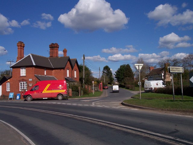
Burley Gate is a small village located in the county of Herefordshire, England. Situated approximately 8 miles west of Hereford city, the village is nestled within the picturesque countryside of the West Midlands region. With a population of around 400 residents, Burley Gate retains a charming and tight-knit community atmosphere.

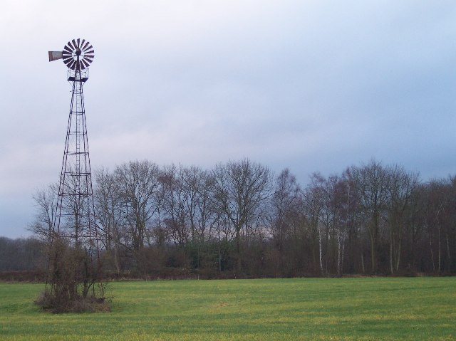
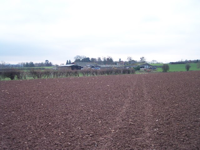
The village is surrounded by rolling hills and farmland, providing residents with stunning views and a peaceful environment. Its rural location makes it an ideal destination for those seeking a tranquil retreat away from the hustle and bustle of city life. The area is also known for its scenic walks and cycling routes, attracting outdoor enthusiasts and nature lovers.

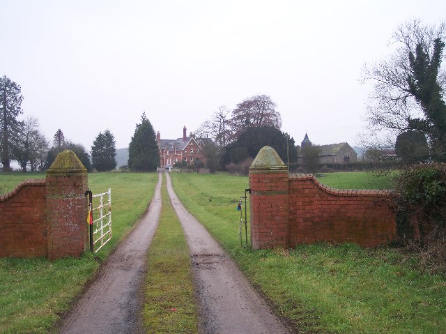
Despite its small size, Burley Gate boasts a range of amenities and services for its residents. These include a local convenience store, a post office, a village hall, and a primary school. Additionally, the village is served by regular bus services, providing convenient transport links to nearby towns and cities.

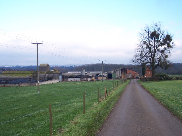
Historically, Burley Gate was primarily an agricultural community, with farming being a significant part of the local economy. However, in recent years, the village has seen diversification, with an increasing number of residents commuting to nearby urban centers for employment. This blend of rural tranquility and accessibility to urban areas makes Burley Gate an attractive place to live for those seeking a balanced lifestyle.

In conclusion, Burley Gate is a quaint village in Herefordshire renowned for its natural beauty, close-knit community, and convenient amenities. It offers a serene and picturesque setting for residents while maintaining easy access to nearby towns and cities.

If you have any feedback on the listing, please let us know in the comments section below.

Burley Gate Images

Images are sourced within 2km of 52.122567/-2.588901 or Grid Reference SO5947. Thanks to Geograph Open Source API. All images are credited.

Wind Pump and Cowarne Wood Looking south from the footpath on the estate road to Cowarne Court.
Wind Pump and Cowarne Wood
Looking south from the footpath on the estate road to Cowarne Court.
The Elms Viewed eastwards from the old road (now a mere footpath) from Ocle Pychard to Wynn's Green.
The Elms
Viewed eastwards from the old road (now a mere footpath) from Ocle Pychard to Wynn's Green.
Cowarne Court Viewed from the west.
Cowarne Court
Viewed from the west.
Three Choirs Way  to Cowarne Court Long distance footpath (joining Hereford, Worcester and Gloucester) ploughed up between Much Cowarne Church and Cowarne Court, but marked by quad bike. For more information see:
tracks. <span class="nowrap"><a title="http://www.walkingpages.co.uk/trails_paths/LDP_threechoirsway.htm" rel="nofollow ugc noopener" href="http://www.walkingpages.co.uk/trails_paths/LDP_threechoirsway.htm">Link</a><img style="margin-left:2px;" alt="External link" title="External link - shift click to open in new window" src="https://s1.geograph.org.uk/img/external.png" width="10" height="10"/></span>
Three Choirs Way to Cowarne Court
Long distance footpath (joining Hereford, Worcester and Gloucester) ploughed up between Much Cowarne Church and Cowarne Court, but marked by quad bike. For more information see: tracks. LinkExternal link
Cowarne Woods Lay-by A straightening of the A417 Leominster to Gloucester road provides a useful resting place for travellers.
Cowarne Woods Lay-by
A straightening of the A417 Leominster to Gloucester road provides a useful resting place for travellers.
Moreton Jeffries Church and Moreton House Looking West
Moreton Jeffries Church and Moreton House
Looking West
Cowarne House Looking SE on 6X magnification from the end of the very long drive.
Cowarne House
Looking SE on 6X magnification from the end of the very long drive.
Windmill Hill, Moreton Jeffries Looking NE from near Court Farm
Windmill Hill, Moreton Jeffries
Looking NE from near Court Farm
Field of barley near Cowarne Court Field of barley beside the drive to Cowarne Court. The distinctive hill in the distance is Sutton Walls at Sutton St Nicholas.
Field of barley near Cowarne Court
Field of barley beside the drive to Cowarne Court. The distinctive hill in the distance is Sutton Walls at Sutton St Nicholas.
Dovecote at Cowarne Court The description on the British listed buildings website states that this dovecote is probably medieval. The dovecote is described as a 'round building of rubble with conical roof of tiles and stone slates.'
Dovecote at Cowarne Court
The description on the British listed buildings website states that this dovecote is probably medieval. The dovecote is described as a 'round building of rubble with conical roof of tiles and stone slates.'
Silage clamp, Cowarne Court Traditionally before the advent of silage bales, silage was stored in large clamps such as this.
Silage clamp, Cowarne Court
Traditionally before the advent of silage bales, silage was stored in large clamps such as this.
Lay-by by the A417 Looking north-west towards Leominster.
Lay-by by the A417
Looking north-west towards Leominster.
Lay-by by the A417 Looking south-east towards Gloucester.
The road here passes through Cowarne Wood on the left.
Good cup of tea to be had from the van!
Lay-by by the A417
Looking south-east towards Gloucester. The road here passes through Cowarne Wood on the left. Good cup of tea to be had from the van!
A417 Lay-by, Cowarne Woods This end of the feature just squeezes into this gridsquare which is otherwise very difficult to access.
A417 Lay-by, Cowarne Woods
This end of the feature just squeezes into this gridsquare which is otherwise very difficult to access.
Lane From Ocle Pychard Meets The A417.
A417 Near Ocle Pychard
A465 From Its Old Alignment An easement of the Bromyard-Hereford road has left a convenient lay-by.
A465 From Its Old Alignment
An easement of the Bromyard-Hereford road has left a convenient lay-by.
A465 - New & Old Alignments
Show me another place!

Burley Gate is located at Grid Ref: SO5947 (Lat: 52.122567, Lng: -2.588901)

Unitary Authority: County of Herefordshire

Police Authority: West Mercia

What 3 Words

///twee.necks.computer. Near Ocle Pychard, Herefordshire

Related Wikis

Burley Gate

Burley Gate is a hamlet in Herefordshire, England. It is north-east from the junction between the A465 road and the A417 road. The hamlet is divided between...

Moreton Jeffries

Moreton Jeffries (or Moreton Jefferies) is a hamlet in the English county of Herefordshire. It is situated off the A465 between Stoke Lacy and Burley Gate...

Ocle Pychard

Ocle Pychard is a hamlet and parish near Burley Gate, in Herefordshire, England, 3.25 miles (5.23 km) northwest of Stoke Edith, 6 miles (9.7 km) southwest...

Moreton Jeffries Church

Moreton Jeffries Church is a redundant Anglican church in the hamlet of Moreton Jeffries, some 9 miles (14 km) northeast of Hereford, Herefordshire, England...

Nearby Amenities

Located within 500m of 52.122567,-2.588901
Bus Stop
Telephone Exchange
Bus: yes
Naptan AtcoCode: 2090068403
Naptan Bearing: NE
Naptan BusStopType: CUS
Naptan CommonName: Telephone Exchange
Naptan Indicator: opp
Naptan Landmark: Telephone Exchange
Naptan NaptanCode: heradada
Naptan Street: A465
Naptan Verified: no
Public Transport: platform
Source: naptan_import
Lat/Long: 52.1218976/-2.5919486
Bus Stop
Telephone Exchange
Bus: yes
Naptan AtcoCode: 2090A068400
Naptan Bearing: SW
Naptan CommonName: Telephone Exchange
Naptan Indicator: adj
Naptan Landmark: Telephone Exchange
Naptan NaptanCode: heradgjw
Naptan Street: A465
Naptan Verified: no
Public Transport: platform
Shelter: yes
Source: naptan_import
Lat/Long: 52.1218631/-2.5917466
Bus Stop
Roundabout
Bus: yes
Naptan AtcoCode: 2090A068401
Naptan Bearing: NW
Naptan BusStopType: CUS
Naptan CommonName: Roundabout
Naptan Indicator: A417 Hereford side
Naptan Landmark: Burley Gate roundabout
Naptan NaptanCode: heradgma
Naptan Street: A417
Naptan Verified: no
Public Transport: platform
Source: naptan_import
Lat/Long: 52.1203627/-2.5950101
Bus Stop
Roundabout
Bus: yes
Naptan AtcoCode: 2090A18258
Naptan Bearing: SE
Naptan BusStopType: CUS
Naptan CommonName: Roundabout
Naptan Indicator: A417 Bromyard side
Naptan Landmark: Burley Gate. Roundabout
Naptan NaptanCode: heragmdw
Naptan Street: A417
Naptan Verified: no
Public Transport: platform
Source: naptan_import
Lat/Long: 52.1204446/-2.5948214
Post Box
Brand: Royal Mail
Brand Wikidata: Q638098
Operator: Royal Mail
Operator Wikidata: Q638098
Post Box Mounting: brick_pillar
Post Box Type: wall
Ref: HR1 273
Lat/Long: 52.1226897/-2.5890906
Burley Gate
Place: hamlet
Wikidata: Q3784133
Lat/Long: 52.1229668/-2.588848
Public Bookcase
The Book Box
Booth: K6
Colour: red
Disused Amenity: telephone
Man Made: telephone_box
Public Bookcase Type: phone_box
Lat/Long: 52.1226765/-2.5886243
Generator Method: photovoltaic
Generator Output Electricity: yes
Generator Source: solar
Generator Type: solar_photovoltaic_panel
Location: roof
Power: generator
Lat/Long: 52.1228345/-2.5827715
Generator Method: photovoltaic
Generator Output Electricity: yes
Generator Source: solar
Generator Type: solar_photovoltaic_panel
Location: roof
Power: generator
Lat/Long: 52.1226699/-2.5869745
Information: board
Tourism: information
Lat/Long: 52.1227025/-2.588549
Power: pole
Lat/Long: 52.1237608/-2.582463
Power: pole
Lat/Long: 52.1236612/-2.5832489
Burley Gate Farm
Power: pole
Transformer: distribution
Voltage Primary: 11000
Lat/Long: 52.1235686/-2.5840288
Power: pole
Lat/Long: 52.1233508/-2.5857521
Power: pole
Lat/Long: 52.1232252/-2.5867539
Power: pole
Lat/Long: 52.1234887/-2.5846363
Burley Gate
Power: pole
Transformer: distribution
Voltage Primary: 11000
Lat/Long: 52.1230972/-2.5877275
Power: pole
Lat/Long: 52.1229815/-2.5885563
Power: pole
Lat/Long: 52.1228428/-2.589361
Power: pole
Lat/Long: 52.1227151/-2.5900409
Burley Gate Inn
Power: pole
Transformer: distribution
Voltage Primary: 11000
Lat/Long: 52.1225871/-2.5908101
Power: pole
Lat/Long: 52.1224698/-2.5914243
Burley Gate Vicarage
Power: pole
Transformer: distribution
Voltage Primary: 11000
Lat/Long: 52.1223627/-2.5920734
Burley Gate School
Power: pole
Transformer: distribution
Voltage Primary: 11000
Lat/Long: 52.1219518/-2.5941883
Power: pole
Lat/Long: 52.1215788/-2.5953162
Moorhouse Cottages
Power: pole
Transformer: distribution
Voltage Primary: 11000
Lat/Long: 52.1189385/-2.5909482
Power: pole
Lat/Long: 52.1185531/-2.5918803
Defibrillator
Defibrillator Location: outside Burley Gate Village Hall
Emergency: defibrillator
Indoor: no
Lat/Long: 52.1219027/-2.5926688
Advertising: board
Lat/Long: 52.1217999/-2.5924902
Defibrillator
Emergency: defibrillator
Indoor: yes
Lat/Long: 52.1218973/-2.5936168
The data included in this document is from www.openstreetmap.org. The data is made available under ODbL.

Have you been to Burley Gate?

Leave your review of Burley Gate below (or comments, questions and feedback).