Burley Beacon
Settlement in Hampshire New Forest
England
Burley Beacon
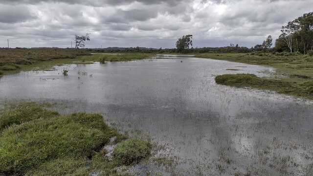
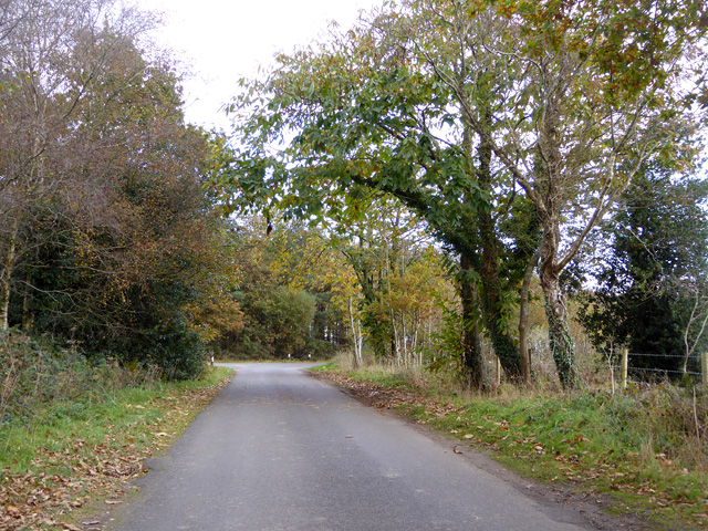
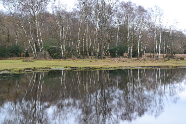
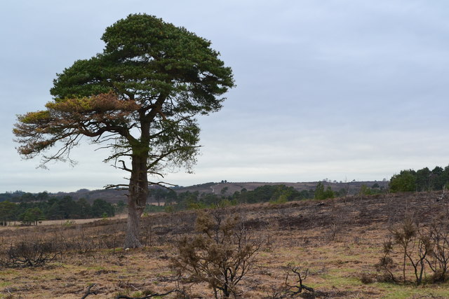
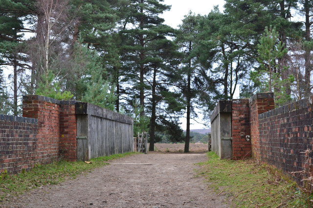
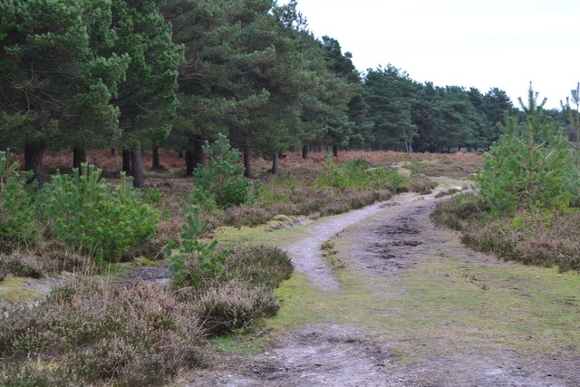
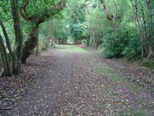
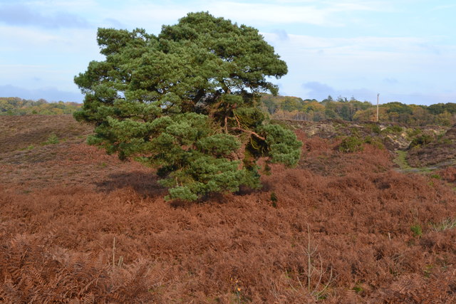
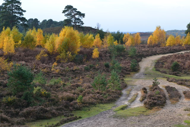
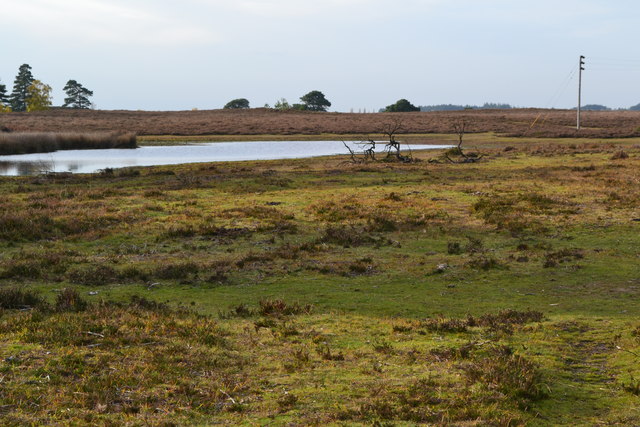
Burley Beacon is a picturesque village located in the county of Hampshire, in southern England. Situated in the heart of the New Forest National Park, it is renowned for its idyllic rural setting and natural beauty. The village is nestled amidst rolling heathland, ancient woodlands, and sprawling meadows, offering residents and visitors a peaceful and tranquil environment.
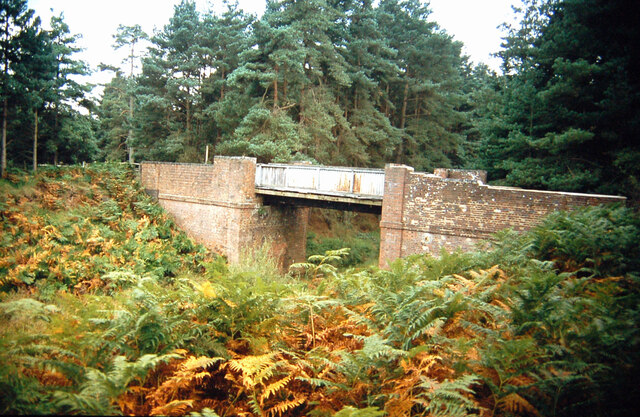
Burley Beacon is steeped in history, with evidence of human habitation dating back to prehistoric times. The surrounding area is rich in archaeological sites, including Bronze Age barrows and Iron Age hillforts, providing fascinating insights into the region's past.
The village itself is small but charming, with a collection of traditional thatched cottages and historic buildings lining its quaint streets. It exudes a nostalgic and timeless atmosphere, making it a popular destination for tourists seeking a quintessential English village experience.
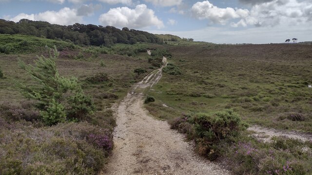
One of the village's main attractions is Burley Beacon itself, a prominent hill that overlooks the surrounding countryside. It offers breathtaking panoramic views, making it a favorite spot among hikers, nature enthusiasts, and photographers. The area is also known for its diverse wildlife, with deer, ponies, and rare bird species frequently spotted in the vicinity.
In addition to its natural beauty, Burley Beacon boasts a range of amenities, including charming tearooms, local pubs, and boutique shops selling handmade crafts and locally sourced products. The village also hosts various events and festivals throughout the year, such as the Burley Village Show, which showcases the community spirit and vibrant culture of the area.
Overall, Burley Beacon in Hampshire is a hidden gem that combines natural splendor, rich history, and a thriving community, making it a must-visit destination for those seeking an authentic English countryside experience.
If you have any feedback on the listing, please let us know in the comments section below.
Burley Beacon Images
Images are sourced within 2km of 50.817204/-1.7174662 or Grid Reference SU2002. Thanks to Geograph Open Source API. All images are credited.


Burley Beacon is located at Grid Ref: SU2002 (Lat: 50.817204, Lng: -1.7174662)
Administrative County: Hampshire
District: New Forest
Police Authority: Hampshire
What 3 Words
///sunk.repeating.blasted. Near Burley, Hampshire
Nearby Locations
Related Wikis

Burley, Hampshire
Burley is a village and civil parish in the New Forest, Hampshire, England. It has ancient origins and is now somewhat tourist-orientated. == The village... ==

Castle Hill, Hampshire
Castle Hill is the site of an Iron Age univallate hillfort located in the civil parish of Burley in the New Forest national park in Hampshire, England...

Avon Tyrrell House
Avon Tyrrell is an historic manor within the parish of Sopley, Hampshire. It is situated within the New Forest, near Christchurch. The present manor house...

All Saints' Church, Thorney Hill
All Saints' Church is a Church of England church in Thorney Hill, Hampshire, England. It was built in 1905–06 and has been a Grade I listed building since...

Bagnum
Bagnum is a hamlet in the English county of Hampshire. The settlement is within the civil parish of Ringwood (where the 2011 Census was included), and...

Holmsley railway station
Holmsley is a closed railway station in the county of Hampshire which served rural settlements in the New Forest. == History == The station was opened...

RAF Holmsley South
Royal Air Force Holmsley South or more simply RAF Holmsley South is a former Royal Air Force station in Hampshire, England. The airfield is located approximately...
Sandford, Hampshire
Sandford is a small hamlet in the New Forest National Park of Hampshire, England. The nearest town to Sandford is Ringwood, which is approximately 2.6...
Nearby Amenities
Located within 500m of 50.817204,-1.7174662Have you been to Burley Beacon?
Leave your review of Burley Beacon below (or comments, questions and feedback).