Allt Fawr

Wood, Forest in Cardiganshire

Wales

Allt Fawr

A475 north of Pant-gwyn
A475 north of Pant-gwyn Credit: Stuart Logan

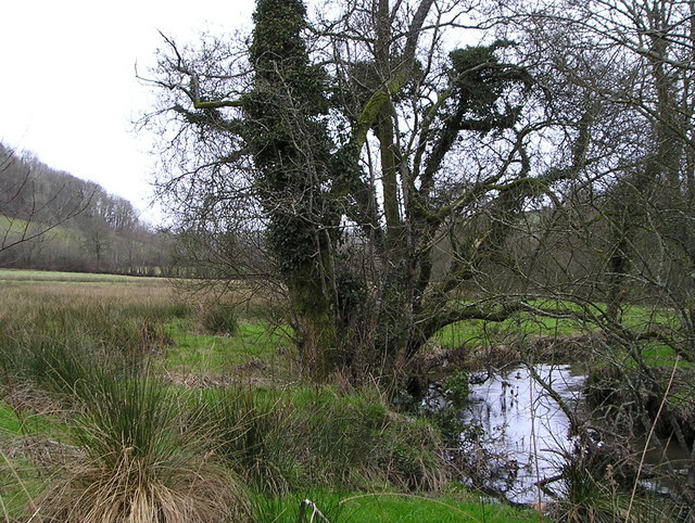
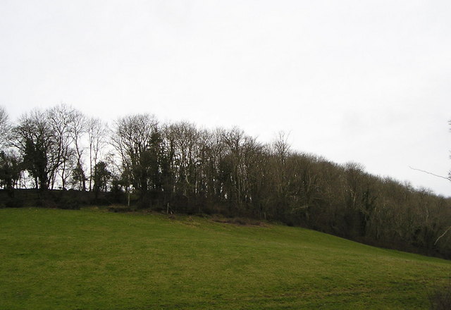
Allt Fawr, located in Cardiganshire, is a remarkable wood known for its breathtaking beauty and diverse range of flora and fauna. This enchanting forest spans across a vast area, covering an impressive landscape that includes rolling hills, meandering streams, and ancient oak trees.

The woodland is a haven for nature enthusiasts, offering a tranquil and serene environment that is perfect for hiking, birdwatching, and simply immersing oneself in the wonders of the natural world. The rich biodiversity found in Allt Fawr is truly remarkable, with a wide variety of plant species, including bluebells, primroses, and wild garlic, carpeting the forest floor during springtime.

The forest is also home to an abundance of wildlife, making it an ideal location for wildlife spotting. Visitors may be lucky enough to catch a glimpse of red kites soaring gracefully through the sky, or perhaps encounter a shy fox or a group of playful badgers.

Allt Fawr is not only a place of natural beauty but also holds historical significance. The forest is believed to have been used as a hideout by local rebels during the Welsh uprising against English rule in the 15th century. The remains of an old hill fort can still be seen atop one of the hills, serving as a reminder of the region's rich and eventful past.

In conclusion, Allt Fawr in Cardiganshire is a magnificent woodland that offers visitors a chance to connect with nature, explore its diverse ecosystems, and delve into its captivating history.

If you have any feedback on the listing, please let us know in the comments section below.
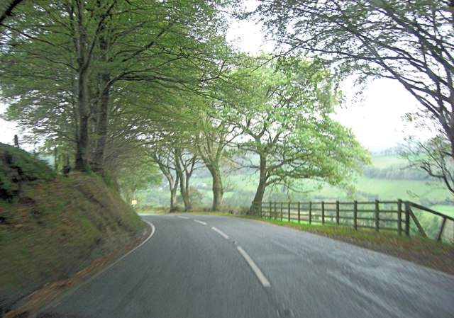
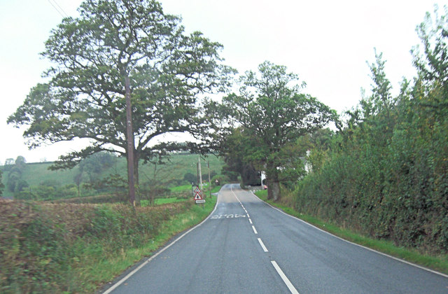
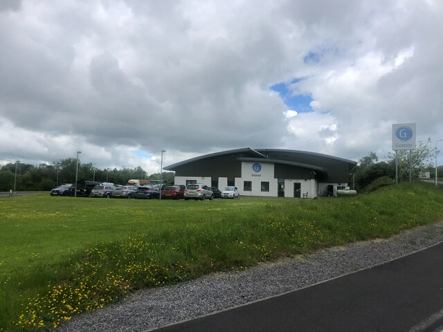
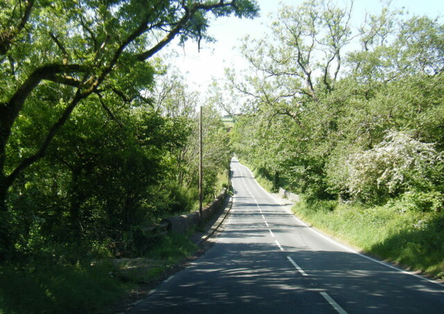
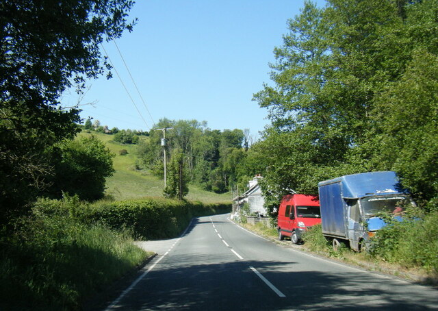
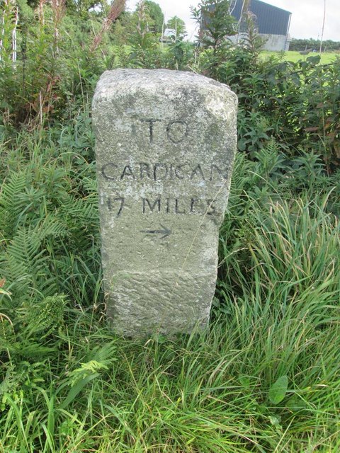
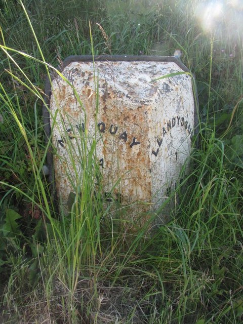
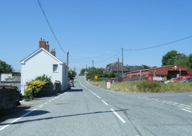
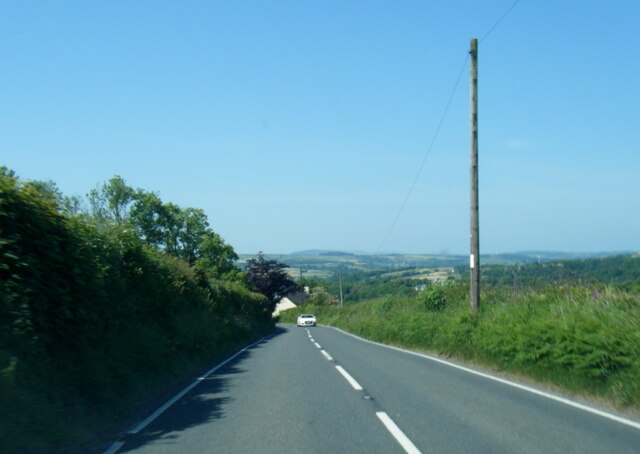
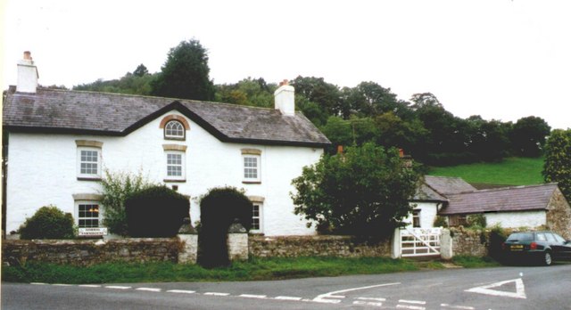
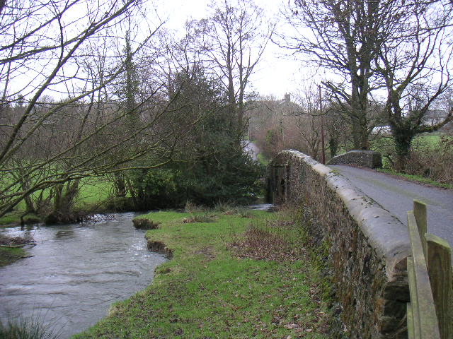
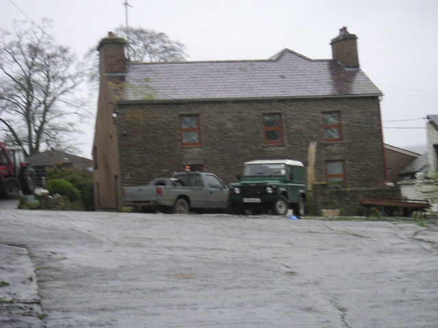
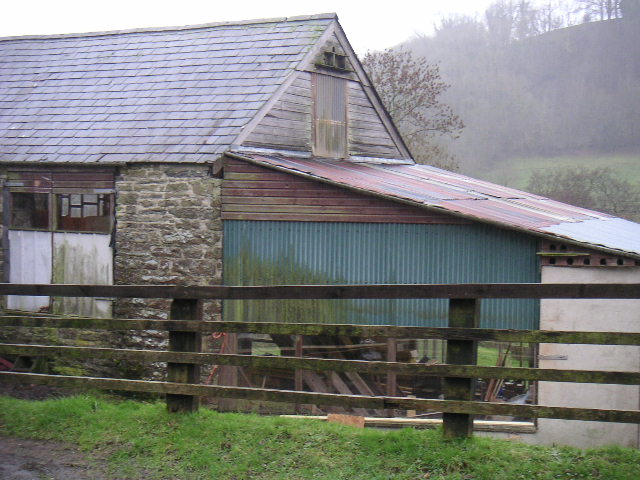
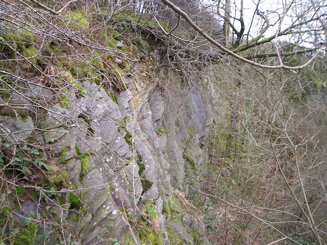
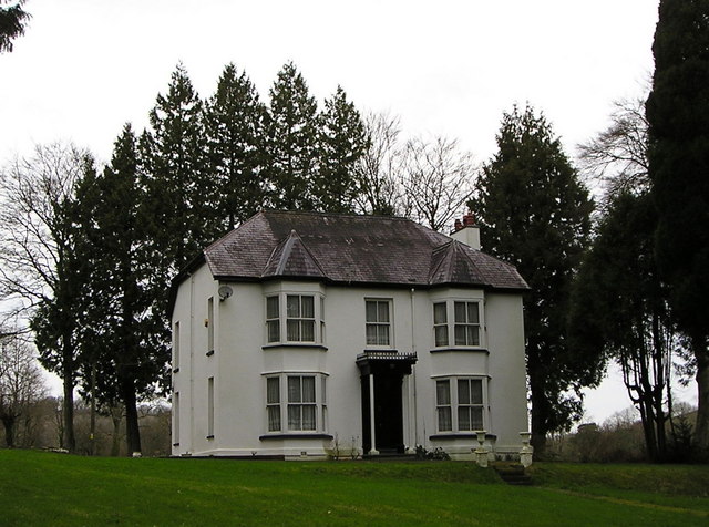
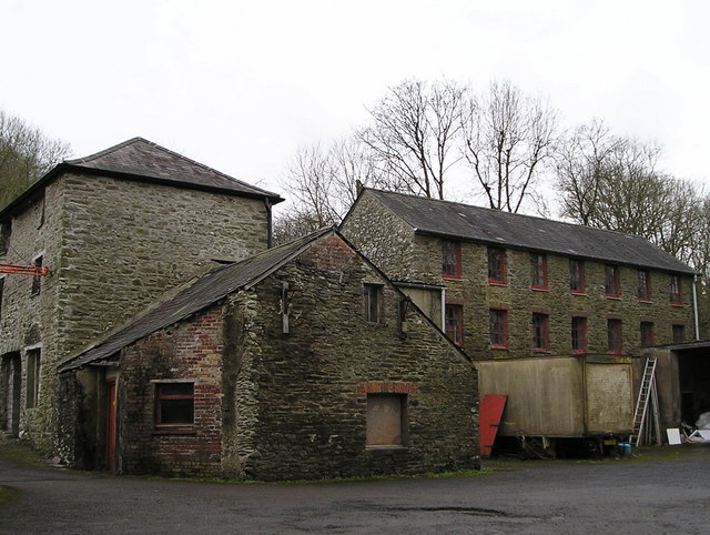
Allt Fawr Images

Images are sourced within 2km of 52.061049/-4.3361825 or Grid Reference SN3942. Thanks to Geograph Open Source API. All images are credited.

A475 north of Pant-gwyn
A475 crossroads at Gorrig
Gwasg Gomer Welsh book publishers based at the Groesffordd Business Park, near Llandysul. Established at the turn of the 20th century, it was the foremost publisher of Welsh books. However, in 2019 they decided to stop their publishing arm and concentrate on printing. Their back catalogue of Welsh books were bought by the Lolfa and Atebol, the former taking adult books and Atebol taking children's books.
Gwasg Gomer
Welsh book publishers based at the Groesffordd Business Park, near Llandysul. Established at the turn of the 20th century, it was the foremost publisher of Welsh books. However, in 2019 they decided to stop their publishing arm and concentrate on printing. Their back catalogue of Welsh books were bought by the Lolfa and Atebol, the former taking adult books and Atebol taking children's books.
A475 at Pont y Gorrig
A475 at Sychbant
A475 at Sychbant
Old Milestone by the A475, Lampeter Road, Pont y Gorrig Cardigan tombstone by the A475, in parish of Llandysul (Ceredigion District), Lampeter Road, Gorrig, Pont y Gorrig.

Inscription reads:-
TO
CARDIGAN
17 MILES
{arrow}

Grade II Listed by Cadw.
Reference Number: 10603 <span class="nowrap"><a title="https://cadwpublic-api.azurewebsites.net/reports/listedbuilding/FullReport?lang=&id=10603" rel="nofollow ugc noopener" href="https://cadwpublic-api.azurewebsites.net/reports/listedbuilding/FullReport?lang=&id=10603">Link</a><img style="margin-left:2px;" alt="External link" title="External link - shift click to open in new window" src="https://s1.geograph.org.uk/img/external.png" width="10" height="10"/></span>

Surveyed

Milestone Society National ID: CRD_CALA17
Old Milestone by the A475, Lampeter Road, Pont y Gorrig
Cardigan tombstone by the A475, in parish of Llandysul (Ceredigion District), Lampeter Road, Gorrig, Pont y Gorrig. Inscription reads:- TO CARDIGAN 17 MILES {arrow} Grade II Listed by Cadw. Reference Number: 10603 LinkExternal link Surveyed Milestone Society National ID: CRD_CALA17
Old Milestone by the B4624, north of Llandysul Newquay flat top casting by the B4624, in parish of Llandysul (Ceredigion District), 600m North West of Pentrellwyn Road junction, South West side of road, Llandysul.

Inscription reads:-
: NEWQUAY / 14 / MILES : : LLANDYSSUL / 1 MILE :

Grade II listed by Cadw.
Reference Number: 10580 <span class="nowrap"><a title="https://cadwpublic-api.azurewebsites.net/reports/listedbuilding/FullReport?lang=&id=10580" rel="nofollow ugc noopener" href="https://cadwpublic-api.azurewebsites.net/reports/listedbuilding/FullReport?lang=&id=10580">Link</a><img style="margin-left:2px;" alt="External link" title="External link - shift click to open in new window" src="https://s1.geograph.org.uk/img/external.png" width="10" height="10"/></span>

Surveyed

Milestone Society National ID: CRD_NQLD14
Old Milestone by the B4624, north of Llandysul
Newquay flat top casting by the B4624, in parish of Llandysul (Ceredigion District), 600m North West of Pentrellwyn Road junction, South West side of road, Llandysul. Inscription reads:- : NEWQUAY / 14 / MILES : : LLANDYSSUL / 1 MILE : Grade II listed by Cadw. Reference Number: 10580 LinkExternal link Surveyed Milestone Society National ID: CRD_NQLD14
A475 at Horeb Royal Mail depot
A475 near Dolifor
A475 near Dolifor
Gorrig Farmhouse A Grade II listed building that was built in 1805
Gorrig Farmhouse
A Grade II listed building that was built in 1805
Bridge over the Cerdin - Tregroes
Rhiwlug Farm
Rhiwlug Farm
Tregroes Saw Mill Small DIY outlet but primarily a shed building site
Tregroes Saw Mill
Small DIY outlet but primarily a shed building site
Afon Cerdin
Afon Cerdin
Allt Ty-chwith A hanging wood on a steep slope.
Allt Ty-chwith
A hanging wood on a steep slope.
Disused Quarry
Disused Quarry
Gwion Castle Not a castle but a country house.
Gwion Castle
Not a castle but a country house.
Pantolwen Mill Disused woollen mill; other buildings on the site now being used as a furniture store.
Pantolwen Mill
Disused woollen mill; other buildings on the site now being used as a furniture store.
Show me another place!

Allt Fawr is located at Grid Ref: SN3942 (Lat: 52.061049, Lng: -4.3361825)

Unitary Authority: Ceredigion

Police Authority: Dyfed Powys

What 3 Words

///apes.lazy.crinkled. Near Llandysul, Ceredigion

Nearby Locations

Horeb Allt Fawr

Related Wikis

Troedrhiwffenyd

Troedrhiwffenyd is a hamlet in the community of Llandysul, Ceredigion, Wales, which is 63.2 miles (101.7 km) from Cardiff and 183.2 miles (294.8 km) from...

Pentrellwyn

Pentrellwyn is a small village in the community of Llandysul, Ceredigion, Wales. Pentrellwyn is represented in the Senedd by Elin Jones (Plaid Cymru) and...

Tregroes

Tregroes (Welsh: Tregroes, "Settlement of the Cross") is a hamlet in the community of Llandysul, Ceredigion, Wales, which is 64.1 miles (103.2 km) from...

Croes-lan

Croes-lan is a small village in the community of Troedyraur, Ceredigion, Wales, which is 65.2 miles (104.9 km) from Cardiff and 185.1 miles (297.8 km...

Ysgol Dyffryn Teifi

Ysgol Dyffryn Teifi was a bilingual (Welsh and English) comprehensive school in Llandysul, Ceredigion. It stood on the site of the previous Llandysul Grammar...

Coedyfoel

Coedyfoel is a small village in the community of Llandysul, Ceredigion, Wales, which is 62.8 miles (101 km) from Cardiff and 182.3 miles (293.4 km) from...

Pren-gwyn

Pren-gwyn is a small village in the community of Llandysul, Ceredigion, Wales, which is 63.1 miles (101.6 km) from Cardiff and 182.5 miles (293.6 km)...

Faerdrefawr

Faerdrefawr is a small village in the community of Llandysul, Ceredigion, Wales, which is 62.2 miles (100 km) from Cardiff and 182 miles (293 km) from...

Nearby Amenities

Located within 500m of 52.061049,-4.3361825
Direction: 125
Generator Method: photovoltaic
Generator Output Electricity: yes
Generator Solar Modules: 16
Generator Source: solar
Generator Type: solar_photovoltaic_panel
Location: roof
Power: generator
Lat/Long: 52.0585934/-4.3419496
Direction: SE
Generator Method: photovoltaic
Generator Output Electricity: yes
Generator Solar Modules: 32
Generator Source: solar
Generator Type: solar_photovoltaic_panel
Location: roof
Power: generator
Lat/Long: 52.062521/-4.3323764
The data included in this document is from www.openstreetmap.org. The data is made available under ODbL.

Have you been to Allt Fawr?

Leave your review of Allt Fawr below (or comments, questions and feedback).