Allt Enoch

Wood, Forest in Cardiganshire

Wales

Allt Enoch

Llandysul Food Festival Carreg-las Dancers with keen youngsters performing "Dilwyn"
Llandysul Food Festival Credit: chris whitehouse

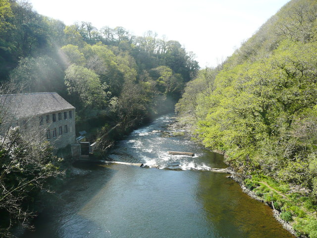
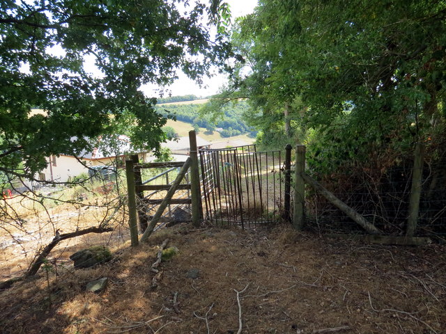
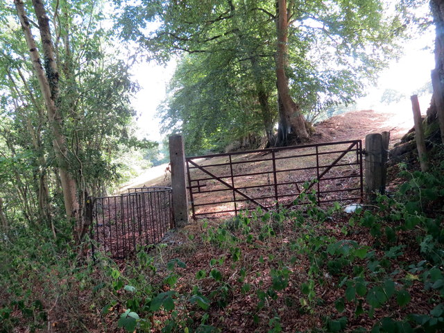
Allt Enoch is a picturesque wood located in the county of Cardiganshire, Wales. Situated in the heart of the Cambrian Mountains, this enchanting forest covers an area of approximately 500 acres. The wood is characterized by its diverse range of tree species, including oak, beech, birch, and pine, which create a stunning and vibrant canopy.

The natural beauty of Allt Enoch is enhanced by the presence of a meandering river that runs through the wood, adding a tranquil and serene ambiance to the surroundings. The river is home to several species of fish, making it a popular spot for fishing enthusiasts.

The wood is also a haven for wildlife, providing a habitat for numerous species of animals and birds. Visitors may be lucky enough to spot red squirrels, foxes, badgers, and a variety of bird species, such as woodpeckers and owls.

Allt Enoch is a popular destination for nature lovers and outdoor enthusiasts. The wood offers a network of well-maintained walking trails, allowing visitors to explore its beauty at their own pace. These trails range in difficulty, catering to both casual strollers and avid hikers. Along the way, breathtaking viewpoints offer panoramic vistas of the surrounding mountains and valleys.

For those seeking a peaceful escape from the hustle and bustle of everyday life, Allt Enoch is the perfect retreat. Its tranquil atmosphere, stunning scenery, and abundant wildlife make it a truly captivating destination for all who venture into its depths.

If you have any feedback on the listing, please let us know in the comments section below.
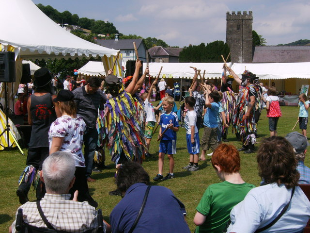
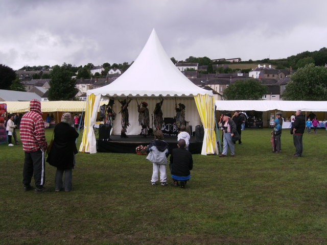
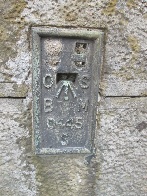
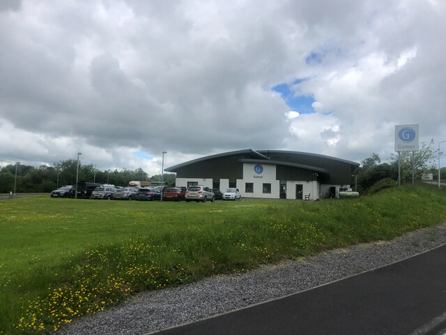
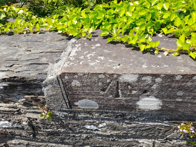
Allt Enoch Images

Images are sourced within 2km of 52.040816/-4.3361768 or Grid Reference SN3940. Thanks to Geograph Open Source API. All images are credited.

Llandysul Food Festival Carreg-las Dancers with keen youngsters performing "Dilwyn"
Llandysul Food Festival
Carreg-las Dancers with keen youngsters performing "Dilwyn"
Llandysul Food Festival Not the best of weather, Carreg-las dancing took place on the sheltered stage as the grass was very wet and slippery, one could be forgiven if this photo was mistaken for a "Punch and Judy Show"! 2010 photo is <a href="https://www.geograph.org.uk/photo/2763690">SN4140 : Llandysul Food Festival</a> perfect weather!
Llandysul Food Festival
Not the best of weather, Carreg-las dancing took place on the sheltered stage as the grass was very wet and slippery, one could be forgiven if this photo was mistaken for a "Punch and Judy Show"! 2010 photo is SN4140 : Llandysul Food Festival perfect weather!
Site of Llandysul Station Yard The new Llandysul bypass, on the right,goes across the site of Llandysul Station, closed as part of the Beeching Plan.  The long building on the left is all that is left of the station's goods facilities.  Sidings ran alongside and wagons were unloaded directly into them.
Site of Llandysul Station Yard
The new Llandysul bypass, on the right,goes across the site of Llandysul Station, closed as part of the Beeching Plan. The long building on the left is all that is left of the station's goods facilities. Sidings ran alongside and wagons were unloaded directly into them.
Ordnance Survey Flush Bracket S0445 This can be found on a gatepost in Seion Hill.
For more detail see : <span class="nowrap"><a title="http://www.bench-marks.org.uk/log?bm_key=20586" rel="nofollow ugc noopener" href="http://www.bench-marks.org.uk/log?bm_key=20586">Link</a><img style="margin-left:2px;" alt="External link" title="External link - shift click to open in new window" src="https://s1.geograph.org.uk/img/external.png" width="10" height="10"/></span>
Ordnance Survey Flush Bracket S0445
This can be found on a gatepost in Seion Hill. For more detail see : LinkExternal link
Lon Wesley, Llandysul, Ceredigion
Ordnance Survey Flush Bracket (S0445) This OS Flush Bracket can be found on the south face of Seion Hill. It marks a point 79.233m above mean sea level.
Ordnance Survey Flush Bracket (S0445)
This OS Flush Bracket can be found on the south face of Seion Hill. It marks a point 79.233m above mean sea level.
Stranded at Llandysul! Adventure Coachlines operate the once a day T1c (TrawsCymru) service from Aberystwyth to Cardiff. Unfortunately, on the day that I chose to use it, the coach came to a halt at Llandysul and could go no further. An air leak prevented the doors from closing, so it was immobilised. A local mechanic was summoned, but he was unable to fix the problem. Eventually, after a three-hour wait, a replacement coach arrived from Aberystwyth. Looking on the bright side, I was able to score a Geograph personal point as I have previously driven through Llandysul but never stopped there!
Stranded at Llandysul!
Adventure Coachlines operate the once a day T1c (TrawsCymru) service from Aberystwyth to Cardiff. Unfortunately, on the day that I chose to use it, the coach came to a halt at Llandysul and could go no further. An air leak prevented the doors from closing, so it was immobilised. A local mechanic was summoned, but he was unable to fix the problem. Eventually, after a three-hour wait, a replacement coach arrived from Aberystwyth. Looking on the bright side, I was able to score a Geograph personal point as I have previously driven through Llandysul but never stopped there!
Gwasg Gomer Welsh book publishers based at the Groesffordd Business Park, near Llandysul. Established at the turn of the 20th century, it was the foremost publisher of Welsh books. However, in 2019 they decided to stop their publishing arm and concentrate on printing. Their back catalogue of Welsh books were bought by the Lolfa and Atebol, the former taking adult books and Atebol taking children's books.
Gwasg Gomer
Welsh book publishers based at the Groesffordd Business Park, near Llandysul. Established at the turn of the 20th century, it was the foremost publisher of Welsh books. However, in 2019 they decided to stop their publishing arm and concentrate on printing. Their back catalogue of Welsh books were bought by the Lolfa and Atebol, the former taking adult books and Atebol taking children's books.
Ordnance Survey Rivet This OS rivet can be found on the west parapet of Pont Allt-y-cafan. It marks a point 57.957m above mean sea level.
Ordnance Survey Rivet
This OS rivet can be found on the west parapet of Pont Allt-y-cafan. It marks a point 57.957m above mean sea level.
Ordnance Survey Cut Mark This OS cut mark can be found on the garage at Graig-y-deri. It marks a point 95.144m above mean sea level.
Ordnance Survey Cut Mark
This OS cut mark can be found on the garage at Graig-y-deri. It marks a point 95.144m above mean sea level.
Ger Pont Allt y Cafan / Near Pont Allt y Cafan Cerddwyr yn dilyn hen reilffordd ar lan Afon Teifi.

Walkers following a former railway on the banks of the Teifi River
Ger Pont Allt y Cafan / Near Pont Allt y Cafan
Cerddwyr yn dilyn hen reilffordd ar lan Afon Teifi. Walkers following a former railway on the banks of the Teifi River
Afon Teifi and the surviving part of Allt-y-cafn Mills, Pentre Cwrt These mills were developed from the 1860s by John Lloyd Davies. (Information from 'The Buildings of Wales') On the 1889 1:2500 map this was the only building shown, captioned 'Allt-y-cafn Factory (Woollen)' It is being renovated, presumably for housing.  The line across the river is a weir, which surprisingly is not shown on the 1889 map but is on the 1906 edition, on which the building has become 'Alltcavan Mills (Woollen)'.
Afon Teifi and the surviving part of Allt-y-cafn Mills, Pentre Cwrt
These mills were developed from the 1860s by John Lloyd Davies. (Information from 'The Buildings of Wales') On the 1889 1:2500 map this was the only building shown, captioned 'Allt-y-cafn Factory (Woollen)' It is being renovated, presumably for housing. The line across the river is a weir, which surprisingly is not shown on the 1889 map but is on the 1906 edition, on which the building has become 'Alltcavan Mills (Woollen)'.
The Afon Teifi from Pont Allt-y-cafn, Pentre Cwrt The bridge is very high above the river.
The Afon Teifi from Pont Allt-y-cafn, Pentre Cwrt
The bridge is very high above the river.
Site of former Llandyssul station, 2004 View SE, towards Pencader: ex-GWR Pencader - Newcastle Emlyn branch. Passenger services on the branch ceased from 15/9/52, goods not until 22/9/73 (Llandyssul from 5/9/65). In 2004 the site was in commercial use, but in more recent years it has been incorporated in a great new Llandyssul by-pass.
Site of former Llandyssul station, 2004
View SE, towards Pencader: ex-GWR Pencader - Newcastle Emlyn branch. Passenger services on the branch ceased from 15/9/52, goods not until 22/9/73 (Llandyssul from 5/9/65). In 2004 the site was in commercial use, but in more recent years it has been incorporated in a great new Llandyssul by-pass.
Llwybr i Landysul / A path to Llandysul Llwybr cyhoeddus yn mynd i gyfeiriad Llandysul.

A public footpath heading in the direction of Llandysul (trans. St Tysul's church).
Llwybr i Landysul / A path to Llandysul
Llwybr cyhoeddus yn mynd i gyfeiriad Llandysul. A public footpath heading in the direction of Llandysul (trans. St Tysul's church).
Llwybr ger y B4624 / A path near the B4624 Llwybr newydd adael y B4624 yn mynd i gyfeiriad Llandysul.

A public footpath having just left the B4624 heading in the direction of Llandysul (trans. St Tysul's church).
Llwybr ger y B4624 / A path near the B4624
Llwybr newydd adael y B4624 yn mynd i gyfeiriad Llandysul. A public footpath having just left the B4624 heading in the direction of Llandysul (trans. St Tysul's church).
Old Milestone by the B4624, north of Llandysul Newquay flat top casting by the B4624, in parish of Llandysul (Ceredigion District), 600m North West of Pentrellwyn Road junction, South West side of road, Llandysul.

Inscription reads:-
: NEWQUAY / 14 / MILES : : LLANDYSSUL / 1 MILE :

Grade II listed by Cadw.
Reference Number: 10580 <span class="nowrap"><a title="https://cadwpublic-api.azurewebsites.net/reports/listedbuilding/FullReport?lang=&id=10580" rel="nofollow ugc noopener" href="https://cadwpublic-api.azurewebsites.net/reports/listedbuilding/FullReport?lang=&id=10580">Link</a><img style="margin-left:2px;" alt="External link" title="External link - shift click to open in new window" src="https://s1.geograph.org.uk/img/external.png" width="10" height="10"/></span>

Surveyed

Milestone Society National ID: CRD_NQLD14
Old Milestone by the B4624, north of Llandysul
Newquay flat top casting by the B4624, in parish of Llandysul (Ceredigion District), 600m North West of Pentrellwyn Road junction, South West side of road, Llandysul. Inscription reads:- : NEWQUAY / 14 / MILES : : LLANDYSSUL / 1 MILE : Grade II listed by Cadw. Reference Number: 10580 LinkExternal link Surveyed Milestone Society National ID: CRD_NQLD14
Station Road, Pont-Tyweli
Show me another place!

Allt Enoch is located at Grid Ref: SN3940 (Lat: 52.040816, Lng: -4.3361768)

Unitary Authority: Ceredigion

Police Authority: Dyfed Powys

What 3 Words

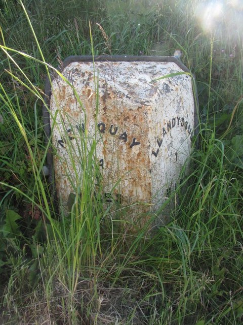
///innocence.fact.lifetimes. Near Llandysul, Ceredigion

Nearby Locations

Allt Enoch

Related Wikis

Ysgol Dyffryn Teifi

Ysgol Dyffryn Teifi was a bilingual (Welsh and English) comprehensive school in Llandysul, Ceredigion. It stood on the site of the previous Llandysul Grammar...

Llandyssul railway station

Llandyssul (previously Llandyssil) was a railway station near the village of Llandysul, West Wales, on the originally broad gauge Teifi Valley line of...

Bangor Teifi

Bangor Teifi is a hamlet in the community of Llandyfriog, Ceredigion, Wales, which is 63.7 miles (102.5 km) from Cardiff and 184.7 miles (297.2 km) from...

Pentrecourt Platform railway station

Pentrecourt Platform was a minor railway station near the village of Pentrecwrt, West Wales, on the originally broad gauge Teifi Valley line of the Carmarthen...

Related Videos

Exploring Wales 🏴󠁧󠁢󠁷󠁬󠁳󠁿 Llandysul & Welshpool amazing views and beautiful sunset.

Enjoy this beautiful Welsh country side with us. Please visit our blog https://magicalworldofkate.co.uk where you can find more ...

17 December 2023

Found my new favorite app XmasAI #XmasAI.

Nearby Amenities

Located within 500m of 52.040816,-4.3361768
Power: tower
Lat/Long: 52.039131/-4.3420603
Power: tower
Lat/Long: 52.041275/-4.3427836
Power: tower
Lat/Long: 52.0419779/-4.34303
Penffynnon Farm
Place: farm
Lat/Long: 52.0444732/-4.3371828
The data included in this document is from www.openstreetmap.org. The data is made available under ODbL.

Have you been to Allt Enoch?

Leave your review of Allt Enoch below (or comments, questions and feedback).