Ystrad Wood
Wood, Forest in Carmarthenshire
Wales
Ystrad Wood
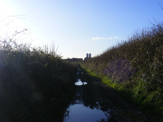
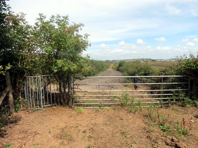
Ystrad Wood, located in Carmarthenshire, is a picturesque forest area encompassing a total area of approximately 1,000 acres. Situated in the southwest of Wales, this woodland is renowned for its natural beauty and rich biodiversity. The forest is predominantly composed of deciduous trees, such as oak, beech, and birch, creating a vibrant and colorful landscape throughout the year.
Ystrad Wood offers a tranquil and serene environment for visitors to immerse themselves in nature. The forest is crisscrossed by various walking trails, providing opportunities for leisurely strolls, hiking, and birdwatching. The diverse range of avian species found here is particularly noteworthy, with the forest serving as a habitat for rare and protected birds, including woodpeckers, buzzards, and owls.
The forest is also home to a variety of other wildlife, including red squirrels, badgers, and foxes. The presence of these animals adds to the enchanting and natural ambiance of Ystrad Wood, attracting both nature enthusiasts and photographers.
For those interested in the historical significance of the area, Ystrad Wood has remnants of ancient settlements and burial mounds, providing insight into the region's past. The forest is also adjacent to the River Tywi, adding to the scenic beauty of the landscape.
Ystrad Wood is a popular destination for locals and tourists alike, who are drawn to its natural charm, diverse wildlife, and recreational opportunities. Whether it's exploring the walking trails, observing the wildlife, or simply enjoying the peaceful surroundings, Ystrad Wood offers an idyllic escape for those seeking a connection with nature.
If you have any feedback on the listing, please let us know in the comments section below.
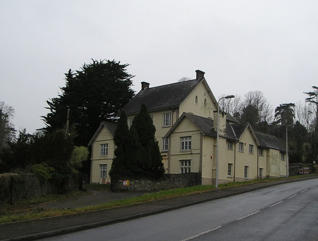
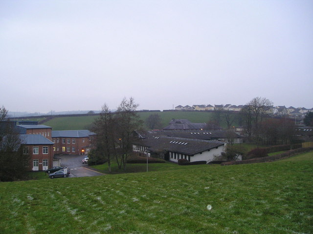
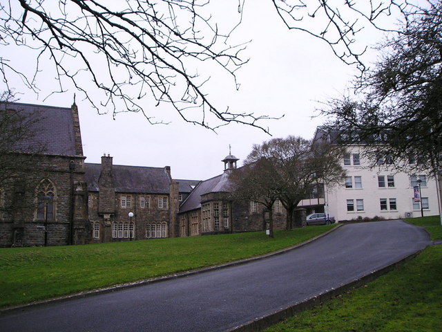
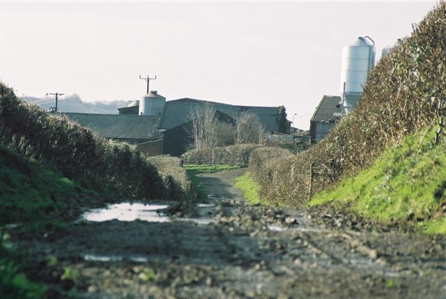
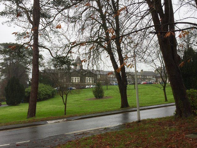
Ystrad Wood Images
Images are sourced within 2km of 51.845278/-4.3299834 or Grid Reference SN3918. Thanks to Geograph Open Source API. All images are credited.


Ystrad Wood is located at Grid Ref: SN3918 (Lat: 51.845278, Lng: -4.3299834)
Unitary Authority: Carmarthenshire
Police Authority: Dyfed Powys
What 3 Words
///wiped.toned.trail. Near Carmarthen, Carmarthenshire
Nearby Locations
Related Wikis

Queen Elizabeth High School, Carmarthen
Queen Elizabeth High School is a comprehensive school for Carmarthen town and its surrounding areas. == History == The school was formed in September...
Rhyd-y-gors
The name Rhyd-y-gors or Rhydygors has been associated with two historic sites near the market town of Carmarthen in Southwest Wales. The first was the...

St Mary's Church, Llanllwch
St Mary's Church is an Anglican parish church in the hamlet of Llanllwch, Carmarthenshire, Wales. It was originally a chapel attached to St Peter's Church...
Carmarthen Town North and South
Carmarthen Town North and South (Welsh: Gogledd a De Tref Caerfyrddin) is an electoral ward for Carmarthenshire County Council in Carmarthen, Wales. It...

Picton Monument, Carmarthen
The Picton Monument in Carmarthen, Wales, is one of a number of memorials commemorating Lieutenant General Sir Thomas Picton. He was the highest ranking...

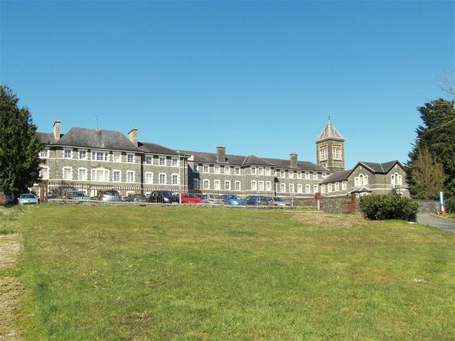
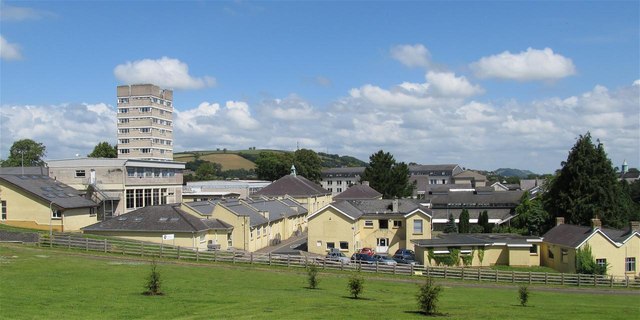
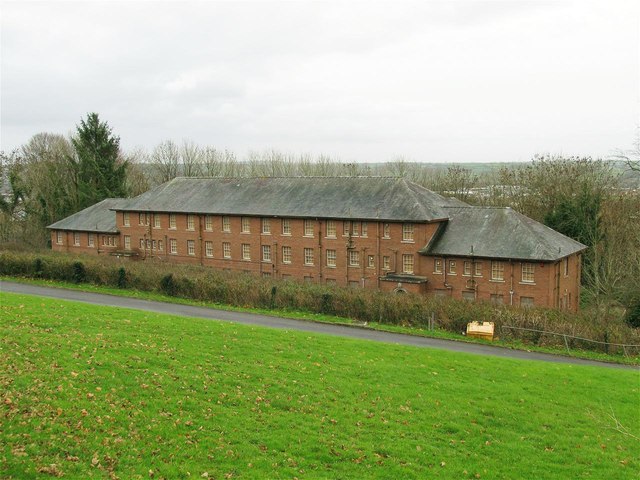
St David's Hospital, Carmarthen
St David's Hospital (Welsh: Ysbyty Dewi Sant) was a psychiatric hospital in Carmarthen, Wales. The main Victorian building is Grade II listed. == History... ==
Trinity University College
Trinity University College (Welsh: Coleg Prifysgol y Drindod) was a Church University College in Carmarthen, Wales. The institution was founded in 1848...

Carmarthen Park
Carmarthen Park is located in Carmarthen, Wales, and contains many recreational and sporting facilities including a velodrome. == Velodrome == The velodrome...
Nearby Amenities
Located within 500m of 51.845278,-4.3299834Have you been to Ystrad Wood?
Leave your review of Ystrad Wood below (or comments, questions and feedback).