Scott's Wood

Wood, Forest in Carmarthenshire

Wales

Scott's Wood

Main Building, Former Saint David's Mental Hospital Now offices for the County Council & NHS and an outpost of Swansea University's medical faculties.
Main Building, Former Saint David's Mental Hospital Credit: Nigel Davies

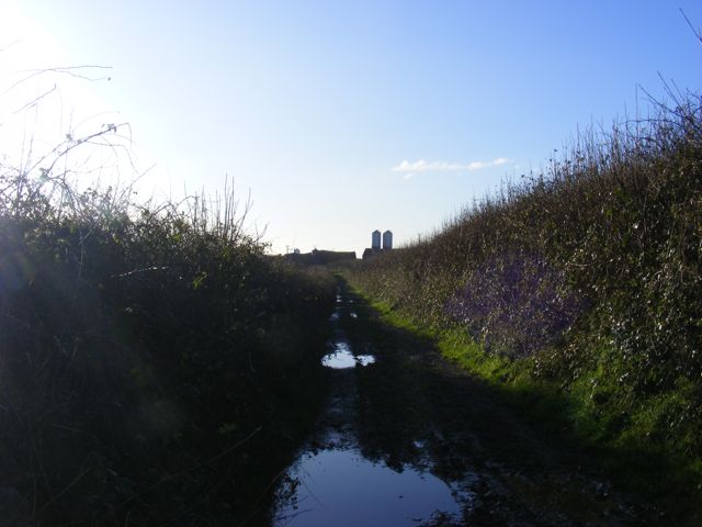
Scott's Wood is a picturesque forest located in Carmarthenshire, Wales. It covers an area of approximately 100 acres and is known for its abundant wildlife and natural beauty. The wood is named after the renowned botanist, John Scott, who extensively studied the flora and fauna of the area in the late 19th century.

The wood is primarily composed of broadleaf trees, such as oak, beech, and ash, which create a dense canopy that filters the sunlight and provides a cool and tranquil atmosphere. The forest floor is covered in a thick layer of moss and ferns, creating a lush and vibrant undergrowth. Various bird species can be spotted in the area, including woodpeckers, owls, and songbirds. The wood is also home to small mammals like squirrels, rabbits, and hedgehogs.

There are several walking trails that wind through the forest, allowing visitors to immerse themselves in the natural surroundings. The trails are well-maintained and offer stunning views of the woodland, making it a popular spot for nature enthusiasts and photographers. In spring, the forest comes alive with a vibrant display of bluebells and wildflowers, creating a truly magical sight.

Scott's Wood is a protected area, and visitors are encouraged to respect the natural habitat and wildlife. There are no designated facilities within the wood, but nearby villages provide amenities such as parking, picnic areas, and cafes. The wood is easily accessible by car or public transport, making it an ideal destination for a peaceful retreat or a day out in nature.

If you have any feedback on the listing, please let us know in the comments section below.
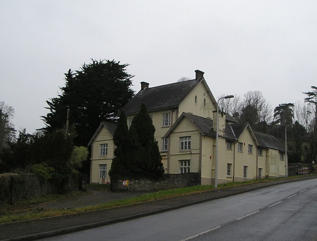
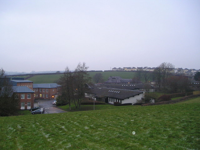
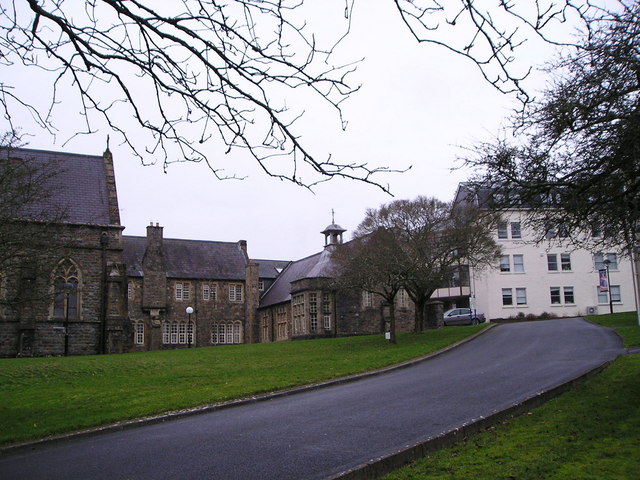
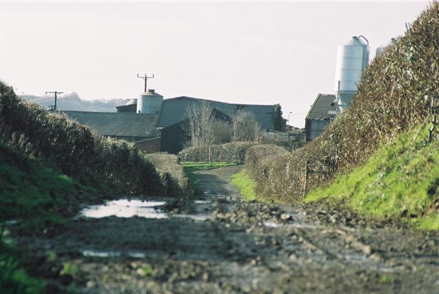
Scott's Wood Images

Images are sourced within 2km of 51.84476/-4.335256 or Grid Reference SN3918. Thanks to Geograph Open Source API. All images are credited.

Main Building, Former Saint David's Mental Hospital Now offices for the County Council & NHS and an outpost of Swansea University's medical faculties.
Main Building, Former Saint David's Mental Hospital
Now offices for the County Council & NHS and an outpost of Swansea University's medical faculties.
West side of Trinity St. Davids College, Carmarthen
Disused staff accommodation at former Saint David's Mental Hospital The "Nurses' Home" is a 3-storey building down on the south edge of the former hospital. Whilst most of the other old wards and buildings have been repurposed as office space, the 70 or 80 dormitories in this block have remained empty for decades. The boarded-up building only ever sees occasional use as a training location for police dogs.
Disused staff accommodation at former Saint David's Mental Hospital
The "Nurses' Home" is a 3-storey building down on the south edge of the former hospital. Whilst most of the other old wards and buildings have been repurposed as office space, the 70 or 80 dormitories in this block have remained empty for decades. The boarded-up building only ever sees occasional use as a training location for police dogs.
Church within the former Saint David's Mental Hospital The secure unit has moved to the edge of the facility and the old buildings, like this church, are largely disused.
Church within the former Saint David's Mental Hospital
The secure unit has moved to the edge of the facility and the old buildings, like this church, are largely disused.
Interior of church at former St David's Mental Hospital The church and its interior are listed. The upper walls of the church have an unusual brickwork mosaic.
Interior of church at former St David's Mental Hospital
The church and its interior are listed. The upper walls of the church have an unusual brickwork mosaic.
Melin Trebersed The stream (Nant-y-ci), now diverted, used to power the water wheel for the old corn mill on the right.
Melin Trebersed
The stream (Nant-y-ci), now diverted, used to power the water wheel for the old corn mill on the right.
Tawelan, Carmarthen
Tawelan, Carmarthen
Jobswell House Mansion that gives its name to the adjoining Jobswell Road. Now used by the West Wales Substance Misuse Service and the local NHS Trust Family Support Team. The once fine gardens below the house are now given over to brambles.
Jobswell House
Mansion that gives its name to the adjoining Jobswell Road. Now used by the West Wales Substance Misuse Service and the local NHS Trust Family Support Team. The once fine gardens below the house are now given over to brambles.
St David's Hospital These are the wards at this hospital, part of the Mental Health Unit of the Hywel Dda NHS Trust. The older buildings on the site are either used administratively or are no longer in use.
St David's Hospital
These are the wards at this hospital, part of the Mental Health Unit of the Hywel Dda NHS Trust. The older buildings on the site are either used administratively or are no longer in use.
Trinity College Part of the University of Wales. This photograph shows part of the chapel on the left, some of the original college buildings in the centre and a newer block on the right.
Trinity College
Part of the University of Wales. This photograph shows part of the chapel on the left, some of the original college buildings in the centre and a newer block on the right.
Halliwell Centre Conference and banqueting centre on the campus of Trinity College. It includes a theatre, restaurant and choice of suites available for meetings and events.
Halliwell Centre
Conference and banqueting centre on the campus of Trinity College. It includes a theatre, restaurant and choice of suites available for meetings and events.
Trebersed Farm, From Public footpath/Farm track Looking towards Trebersed Farm from the Farm Lane / Public Footpath (Llanllwch to Carmarthen)
Trebersed Farm, From Public footpath/Farm track
Looking towards Trebersed Farm from the Farm Lane / Public Footpath (Llanllwch to Carmarthen)
Farm Lane / Public Footpath, Trebersed Farm Trebersed Farm from Farm Lane / Public Footpath
Farm Lane / Public Footpath, Trebersed Farm
Trebersed Farm from Farm Lane / Public Footpath
Hen Coleg - Trinity College The Old College building at Trinity College
Hen Coleg - Trinity College
The Old College building at Trinity College
Ordnance Survey Cut Mark This OS cut mark can be found on the NE face of the hospital building. It marks a point 54.851m above mean sea level.
Ordnance Survey Cut Mark
This OS cut mark can be found on the NE face of the hospital building. It marks a point 54.851m above mean sea level.
Ordnance Survey Cut Mark This OS cut mark can be found on the building on the west side of Jobs Well Road. It marks a point 36.404m above mean sea level.
Ordnance Survey Cut Mark
This OS cut mark can be found on the building on the west side of Jobs Well Road. It marks a point 36.404m above mean sea level.
Ordnance Survey Cut Mark This OS cut mark can be found on the NW face of Trinity College Chapel. It marks a point 39.284m above mean sea level.
Ordnance Survey Cut Mark
This OS cut mark can be found on the NW face of Trinity College Chapel. It marks a point 39.284m above mean sea level.
Roundabout Roundabout at Pentremeurig Road, Carmarthen on a wet autumn day.
Roundabout
Roundabout at Pentremeurig Road, Carmarthen on a wet autumn day.
Show me another place!

Scott's Wood is located at Grid Ref: SN3918 (Lat: 51.84476, Lng: -4.335256)

Unitary Authority: Carmarthenshire

Police Authority: Dyfed Powys

What 3 Words

///defended.puppy.erupt. Near Carmarthen, Carmarthenshire

Nearby Locations

Ystrad Wood Scott's Wood

Related Wikis

St Mary's Church, Llanllwch

St Mary's Church is an Anglican parish church in the hamlet of Llanllwch, Carmarthenshire, Wales. It was originally a chapel attached to St Peter's Church...

Queen Elizabeth High School, Carmarthen

Queen Elizabeth High School is a comprehensive school for Carmarthen town and its surrounding areas. == History == The school was formed in September...

Rhyd-y-gors

The name Rhyd-y-gors or Rhydygors has been associated with two historic sites near the market town of Carmarthen in Southwest Wales. The first was the...

Llanllwch

Llanllwch is a hamlet in Carmarthenshire, Wales approximately 2 miles (3.2 km) west of Carmarthen. == History == The name Llanllwch derives from a lake...

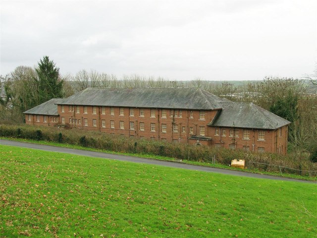
St David's Hospital, Carmarthen

St David's Hospital (Welsh: Ysbyty Dewi Sant) was a psychiatric hospital in Carmarthen, Wales. The main Victorian building is Grade II listed. == History... ==

Picton Monument, Carmarthen

The Picton Monument in Carmarthen, Wales, is one of a number of memorials commemorating Lieutenant General Sir Thomas Picton. He was the highest ranking...

Trinity University College

Trinity University College (Welsh: Coleg Prifysgol y Drindod) was a Church University College in Carmarthen, Wales. The institution was founded in 1848...

Carmarthen Town North and South

Carmarthen Town North and South (Welsh: Gogledd a De Tref Caerfyrddin) is an electoral ward for Carmarthenshire County Council in Carmarthen, Wales. It...

Nearby Amenities

Located within 500m of 51.84476,-4.335256
Pen Ystrad
Natural: peak
Lat/Long: 51.8444285/-4.3303005
Pen-Lan
Natural: peak
Lat/Long: 51.8433415/-4.3349139
Location Transition: yes
Power: pole
Lat/Long: 51.8485262/-4.3373378
Power: pole
Lat/Long: 51.848165/-4.3399339
Power: pole
Lat/Long: 51.8424397/-4.3304452
Power: pole
Lat/Long: 51.8433528/-4.3316335
Power: pole
Lat/Long: 51.8438615/-4.332253
Location Transition: yes
Power: pole
Lat/Long: 51.8445477/-4.3331321
Location Transition: yes
Power: pole
Lat/Long: 51.8446219/-4.3330445
Power: pole
Lat/Long: 51.844125/-4.3321136
Power: pole
Lat/Long: 51.8435632/-4.3311346
Power: pole
Lat/Long: 51.8428242/-4.3298095
Access: yes
Leisure: firepit
Seasonal: no
Width: 2
Lat/Long: 51.8456748/-4.3316813
Ford: yes
Lat/Long: 51.8452639/-4.3354879
Give Way
Direction: backward
Lat/Long: 51.8422821/-4.3404501
Blind: no
Playground: seesaw
Playground Theme: simple_rope_and_stick,_hanging_from_a_tall_tree,_amazing_views
Wheelchair: no
Lat/Long: 51.8439132/-4.3299664
Barrier: kissing_gate
Lat/Long: 51.8464535/-4.3374391
Barrier: kissing_gate
Lat/Long: 51.8452783/-4.3406095
Barrier: kissing_gate
Lat/Long: 51.8461052/-4.3396906
Barrier: bollard
Lat/Long: 51.8469668/-4.3382525
Bench
Material: wood
Seats: 4
Lat/Long: 51.8472775/-4.3388888
Location Transition: yes
Power: pole
Lat/Long: 51.8487207/-4.3350667
Power: pole
Lat/Long: 51.8489584/-4.3351632
Addr Housenumber: 8
Lat/Long: 51.847893/-4.3366009
Hargreaves Engineering
Addr Housenumber: 1
Lat/Long: 51.8476643/-4.3361932
Addr Housenumber: 5
Lat/Long: 51.8477638/-4.3368047
Fleetwheel
Addr Housenumber: 2
Lat/Long: 51.8476043/-4.336289
Newey & Eyre
Addr Housenumber: 4
Shop: electrical
Lat/Long: 51.8474883/-4.3364821
Screwfix
Brand: Screwfix
Brand Wikidata: Q7439115
Shop: doityourself
Website: https://www.screwfix.com/stores/YA6/carmarthen
Lat/Long: 51.8479444/-4.333967
Olympic Radiators
Shop: trade
Lat/Long: 51.8488855/-4.3334466
Carmarthen Lighting Centre
Shop: electrical
Lat/Long: 51.8477389/-4.3336049
W. Kingsbury Ltd.
Shop: electrical
Lat/Long: 51.8476892/-4.3334949
D.J. Foods
Lat/Long: 51.8488524/-4.3337604
Fraser Glaze
Lat/Long: 51.8482858/-4.3349352
A Dean Carpets
Addr Housenumber: 3
Shop: carpet
Lat/Long: 51.8475471/-4.3363842
Location Transition: yes
Power: pole
Lat/Long: 51.8458119/-4.3337283
Direction: S
Generator Method: photovoltaic
Generator Output Electricity: yes
Generator Solar Modules: 2
Generator Source: solar
Generator Type: solar_photovoltaic_panel
Location: roof
Power: generator
Lat/Long: 51.8429928/-4.3389753
Direction: E
Generator Method: photovoltaic
Generator Output Electricity: yes
Generator Solar Modules: 6
Generator Source: solar
Generator Type: solar_photovoltaic_panel
Location: roof
Power: generator
Lat/Long: 51.8429671/-4.3389941
Direction: S
Generator Method: photovoltaic
Generator Output Electricity: yes
Generator Solar Modules: 8
Generator Source: solar
Generator Type: solar_photovoltaic_panel
Location: roof
Power: generator
Lat/Long: 51.8429936/-4.3390974
Direction: ESE
Generator Method: photovoltaic
Generator Output Electricity: yes
Generator Solar Modules: 14
Generator Source: solar
Generator Type: solar_photovoltaic_panel
Location: roof
Power: generator
Lat/Long: 51.8432575/-4.3395728
Parking
Lat/Long: 51.8482612/-4.336345
Fast Food
The Hot Rod Diner
Lat/Long: 51.8483488/-4.336572
The data included in this document is from www.openstreetmap.org. The data is made available under ODbL.

Have you been to Scott's Wood?

Leave your review of Scott's Wood below (or comments, questions and feedback).