Allt Nantypelau
Wood, Forest in Cardiganshire
Wales
Allt Nantypelau
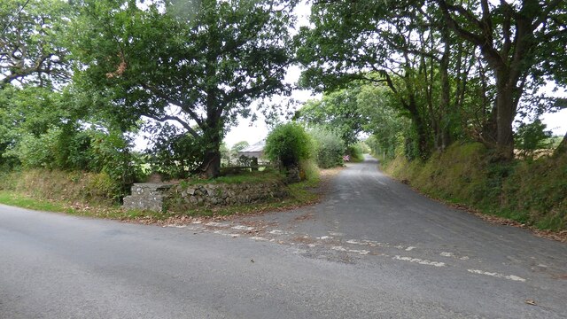
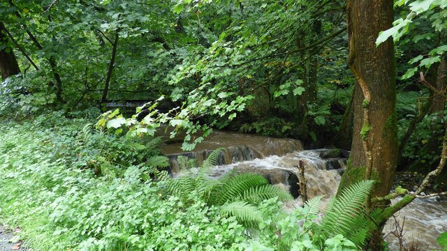
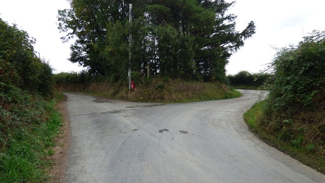
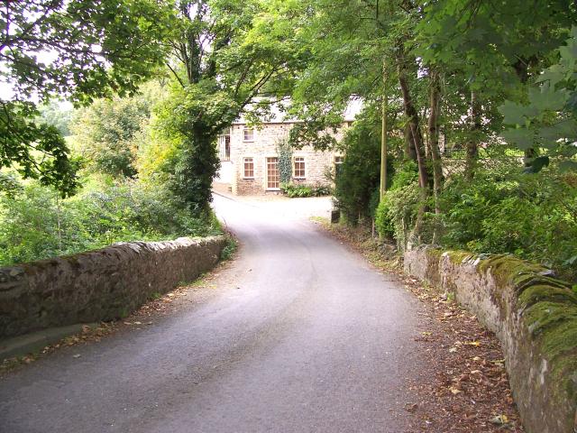
Allt Nantypelau is a picturesque wood located in Cardiganshire, Wales. Covering an area of approximately 100 acres, this forested area is known for its stunning natural beauty and rich biodiversity. The wood is situated on a gentle slope, allowing for enchanting views of the surrounding countryside.
The wood is primarily composed of native broadleaf species, including oak, ash, beech, and birch trees. These towering trees create a dense canopy that shades the forest floor, providing a cool and tranquil environment for various flora and fauna to thrive.
Allt Nantypelau is home to a diverse range of wildlife, with numerous bird species, mammals, and insects being found within its boundaries. Birdwatchers will be delighted to spot species such as buzzards, woodpeckers, and owls. The forest is also a haven for mammals like badgers, foxes, and deer, which can occasionally be spotted during early morning or evening walks.
The wood is intersected by several meandering footpaths, which allow visitors to explore its natural wonders at their own pace. These paths wind through the forest, leading to hidden clearings, babbling brooks, and small waterfalls, creating a sense of tranquility and serenity.
Allt Nantypelau is a popular destination for nature lovers and outdoor enthusiasts alike. Its peaceful ambiance, stunning landscapes, and abundant wildlife make it an ideal spot for hiking, birdwatching, or simply immersing oneself in the beauty of nature.
If you have any feedback on the listing, please let us know in the comments section below.
Allt Nantypelau Images
Images are sourced within 2km of 52.183784/-4.3749726 or Grid Reference SN3756. Thanks to Geograph Open Source API. All images are credited.


Allt Nantypelau is located at Grid Ref: SN3756 (Lat: 52.183784, Lng: -4.3749726)
Unitary Authority: Ceredigion
Police Authority: Dyfed Powys
What 3 Words
///cashew.norms.gold. Near Llanllwchaiarn, Ceredigion
Nearby Locations
Related Wikis
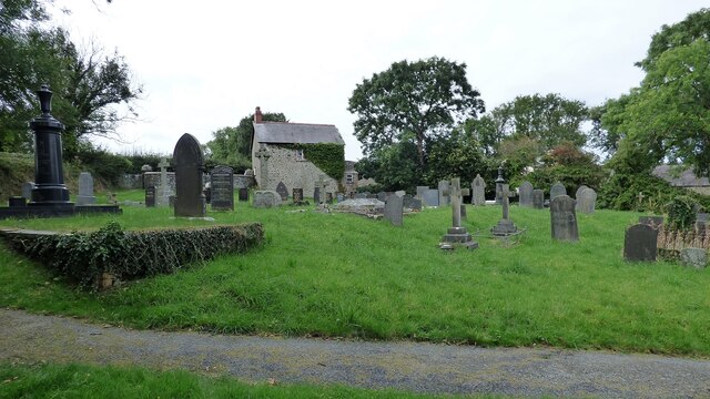
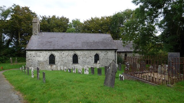
Caerwedros
Caerwedros (pronounced [kaɨrˈwɛdrɔs] ) is a small village in western Ceredigion, Wales, in the community of Llandysiliogogo. Caerwedros village has a Memorial...
Llandysiliogogo
Llandysiliogogo is a community in the county of Ceredigion, Wales, and includes the villages of Caerwedros, Plwmp, and Talgarreg, and the hamlets of Blaenbedw...

Hafodiwan
Hafodiwan is a hamlet in the community of Llandysiliogogo, Ceredigion, Wales, which is 69.6 miles (112 km) from Cardiff and 186.6 miles (300.2 km) from...
Llanllwchaiarn, Ceredigion
Llanllwchaiarn is a community in Ceredigion, Wales, surrounding New Quay and had a population of 848 at the 2011 UK census. The community council uses...
Llanwchaiarn, Ceredigion
Llanwchaiarn is a village in the community of Llanllwchaiarn, in Ceredigion, Wales, near to New Quay. There is also a Llanwchaiarn in Newtown, Powys....
Maen-y-groes
Maen-y-groes is a hamlet in the community of Llanllwchaiarn, Ceredigion, Wales, which is 71 miles (114.3 km) from Cardiff and 187 miles (300.9 km) from...
Penbontrhydyfoethau
Penbontrhydyfothau is a hamlet in the community of Llandysiliogogo, Ceredigion, Wales, which is 70.5 miles (113.4 km) from Cardiff and 187.9 miles (302...
Blaen Celyn
Blaen Celyn is a hamlet in the community of Llangrannog, Ceredigion, Wales, 2 miles (3.2 km) east of Llangrannog village. The local St. David's Church...
Nearby Amenities
Located within 500m of 52.183784,-4.3749726Have you been to Allt Nantypelau?
Leave your review of Allt Nantypelau below (or comments, questions and feedback).