Nanternis

Settlement in Cardiganshire

Wales

Nanternis

Milk Churn Stand at Penllwyn
Milk Churn Stand at Penllwyn Credit: Sandy Gerrard

Nanternis is a small village located in the county of Cardiganshire, Wales. Situated on the west coast of Wales, it is nestled between the towns of New Quay and Aberaeron. With a population of around 300 residents, Nanternis maintains a close-knit and community-oriented atmosphere.

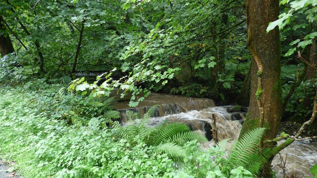
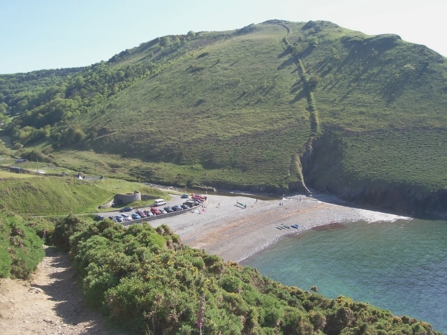
The village is known for its picturesque setting, surrounded by rolling hills and breathtaking coastal views. Its proximity to the stunning Cardigan Bay makes it a popular destination for nature enthusiasts and tourists seeking a tranquil escape. The area boasts an abundance of wildlife, including seals, dolphins, and a variety of bird species, making it a haven for wildlife enthusiasts.

Historically, Nanternis was primarily an agricultural village, with farming playing a crucial role in its economy. However, in recent years, the village has seen a shift towards tourism and hospitality, with several guest houses and bed and breakfast establishments catering to visitors.

Nanternis offers a range of amenities to its residents and visitors. The village has a community center, a small convenience store, and a pub, providing essential services and a gathering place for locals. Additionally, the nearby towns of New Quay and Aberaeron offer a wider array of shops, restaurants, and recreational activities.

Overall, Nanternis is a charming and idyllic village, offering a peaceful retreat for those seeking a slower pace of life and a connection to nature. Its stunning location and warm community make it a hidden gem in the heart of Cardiganshire.

If you have any feedback on the listing, please let us know in the comments section below.
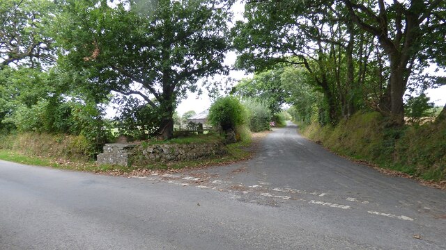
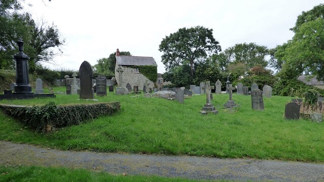
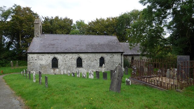
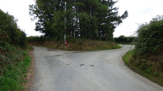
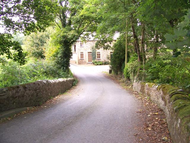
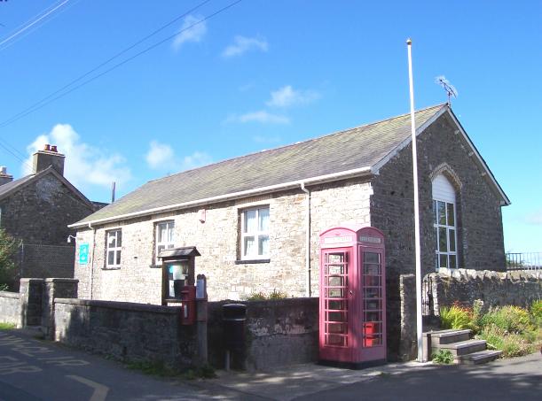
Nanternis Images

Images are sourced within 2km of 52.183503/-4.379394 or Grid Reference SN3756. Thanks to Geograph Open Source API. All images are credited.

Milk Churn Stand at Penllwyn
Original Churchyard Boundary The churchyard at St. Tysilio was originally circular.  The western part of the circuit now survives as an earthwork.
Original Churchyard Boundary
The churchyard at St. Tysilio was originally circular. The western part of the circuit now survives as an earthwork.
St. Tysilio's Church <span class="nowrap"><a title="https://www.dyfedarchaeology.org.uk/wp/discovery/projects/churches/st-tysilio-llandysiliogogo-ceredigion/" rel="nofollow ugc noopener" href="https://www.dyfedarchaeology.org.uk/wp/discovery/projects/churches/st-tysilio-llandysiliogogo-ceredigion/">Link</a><img style="margin-left:2px;" alt="External link" title="External link - shift click to open in new window" src="https://s1.geograph.org.uk/img/external.png" width="10" height="10"/></span>
St. Tysilio's Church
Farm lane to Ty Christian
Overgrown Castle The motte is covered in trees, but there is a helpful interpretation board, village water pump and bench.
Overgrown Castle
The motte is covered in trees, but there is a helpful interpretation board, village water pump and bench.
Polluted Afon Soden Following heavy rain the river resembled and smelt like a sewer.
Polluted Afon Soden
Following heavy rain the river resembled and smelt like a sewer.
Milk Churn Stand Complete with milk churn.
Milk Churn Stand
Complete with milk churn.
Y Bwthyn Barn Conversion
Access to Drefach Farm Farm road on the left.
Access to Drefach Farm
Farm road on the left.
Footpath at Cardigan Bay Camping and Caravanning Club Site
Parc-Yr-Efail at Cross Inn
Centre of Cross Inn
Centre of Cross Inn
A486 at Maen-y-groes village boundary
A486 at Clettwr Villa
Ysgol Caerwedros Caerwedros Primary School which was opened in 1852.
Ysgol Caerwedros
Caerwedros Primary School which was opened in 1852.
St. Tysilio Church St. Tysilio Anglican Church, near the small coastal village of Cwmtydu.
St. Tysilio Church
St. Tysilio Anglican Church, near the small coastal village of Cwmtydu.
Capel Neuadd Capel Neuadd, Calvinistic Chapel at Nanternis, situated on a minor road to Cwmtydu.
Capel Neuadd
Capel Neuadd, Calvinistic Chapel at Nanternis, situated on a minor road to Cwmtydu.
Felin Bontbren Felin Bontbren where once stood a water driven Corn Mill that has now been moved and re-erected at the Museum of Welsh Life at St Fagans, Cardiff. It is situated on the banks of the River Soden between Caerwedros and Cross Inn.
Felin Bontbren
Felin Bontbren where once stood a water driven Corn Mill that has now been moved and re-erected at the Museum of Welsh Life at St Fagans, Cardiff. It is situated on the banks of the River Soden between Caerwedros and Cross Inn.
Show me another place!

Nanternis is located at Grid Ref: SN3756 (Lat: 52.183503, Lng: -4.379394)

Unitary Authority: Ceredigion

Police Authority: Dyfed Powys

What 3 Words

///hoping.gender.outlooks. Near Llanllwchaiarn, Ceredigion

Nearby Locations

Allt Nantypelau Nanternis

Related Wikis

Caerwedros

Caerwedros (pronounced [kaɨrˈwɛdrɔs] ) is a small village in western Ceredigion, Wales, in the community of Llandysiliogogo. Caerwedros village has a Memorial...

Llandysiliogogo

Llandysiliogogo is a community in the county of Ceredigion, Wales, and includes the villages of Caerwedros, Plwmp, and Talgarreg, and the hamlets of Blaenbedw...

Hafodiwan

Hafodiwan is a hamlet in the community of Llandysiliogogo, Ceredigion, Wales, which is 69.6 miles (112 km) from Cardiff and 186.6 miles (300.2 km) from...

Llanllwchaiarn, Ceredigion

Llanllwchaiarn is a community in Ceredigion, Wales, surrounding New Quay and had a population of 848 at the 2011 UK census. The community council uses...

Llanwchaiarn, Ceredigion

Llanwchaiarn is a village in the community of Llanllwchaiarn, in Ceredigion, Wales, near to New Quay. There is also a Llanwchaiarn in Newtown, Powys....

Maen-y-groes

Maen-y-groes is a hamlet in the community of Llanllwchaiarn, Ceredigion, Wales, which is 71 miles (114.3 km) from Cardiff and 187 miles (300.9 km) from...

Penbontrhydyfoethau

Penbontrhydyfothau is a hamlet in the community of Llandysiliogogo, Ceredigion, Wales, which is 70.5 miles (113.4 km) from Cardiff and 187.9 miles (302...

Blaen Celyn

Blaen Celyn is a hamlet in the community of Llangrannog, Ceredigion, Wales, 2 miles (3.2 km) east of Llangrannog village. The local St. David's Church...

Nearby Amenities

Located within 500m of 52.183503,-4.379394
Nanternis
Is In: Ceredigion, Wales, UK
Place: hamlet
Source: survey
Wikidata: Q13130352
Lat/Long: 52.1833654/-4.3803444
Place: farm
Lat/Long: 52.1877333/-4.3797407
Barrier: kissing_gate
Material: metal
Source: survey;gps
Lat/Long: 52.1857141/-4.3746906
Barrier: stile
Material: wood
Source: survey;gps
Stile: stepover
Lat/Long: 52.1857266/-4.3788095
Direction: SSW
Generator Method: photovoltaic
Generator Output Electricity: yes
Generator Solar Modules: 12
Generator Source: solar
Generator Type: solar_photovoltaic_panel
Location: roof
Power: generator
Lat/Long: 52.183097/-4.3822548
Post Box
Post Box Type: lamp
Royal Cypher: EIIR
Royal Cypher Wikidata: Q33102113
Lat/Long: 52.1855483/-4.3809117
Telephone
Booth: K6
Covered: booth
Operator: BT
Phone: +44 1545 560338
Lat/Long: 52.1853181/-4.3805872
The data included in this document is from www.openstreetmap.org. The data is made available under ODbL.

Have you been to Nanternis?

Leave your review of Nanternis below (or comments, questions and feedback).