Coed Mynydd-mawr
Wood, Forest in Caernarfonshire
Wales
Coed Mynydd-mawr

Coed Mynydd-mawr, located in Caernarfonshire, Wales, is a breathtaking woodland area known for its lush greenery and natural beauty. Covering a vast area, this forest is a haven for nature enthusiasts and outdoor adventurers alike.
The woodland is predominantly composed of native tree species, including oak, birch, and ash, which create a diverse and vibrant ecosystem. The abundance of vegetation provides a vital habitat for a variety of wildlife, making it a popular destination for birdwatchers and animal lovers. Visitors may catch a glimpse of red kites soaring above or spot elusive species such as pine martens and foxes.
Coed Mynydd-mawr is crisscrossed with walking trails, allowing visitors to explore its wonders at their own pace. These paths wind through the forest, offering magnificent views of the surrounding countryside and distant mountains. The tranquil ambiance and fresh air make it an ideal spot for a peaceful stroll or a family picnic.
The woodland is also steeped in history, with remnants of ancient settlements and burial sites scattered throughout the area. Archaeological enthusiasts can discover the secrets of the past, uncovering clues about the people who once called this forest home.
Coed Mynydd-mawr is a true gem of Caernarfonshire, offering a serene escape from the hustle and bustle of daily life. Whether you are seeking solace in nature or hoping to immerse yourself in local history, this woodland is sure to captivate and inspire all who venture within its boundaries.
If you have any feedback on the listing, please let us know in the comments section below.
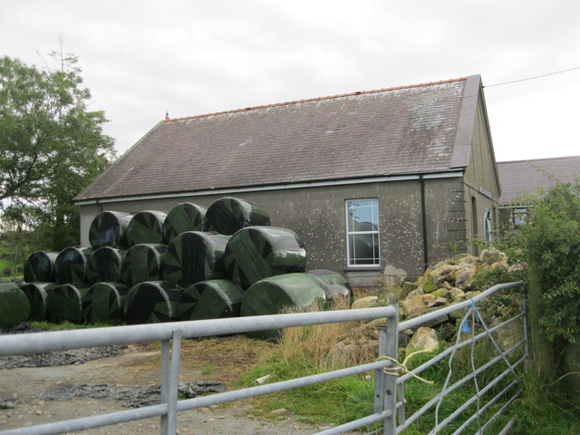
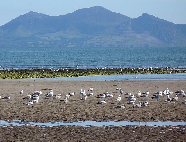
Coed Mynydd-mawr Images
Images are sourced within 2km of 52.93869/-4.4351143 or Grid Reference SH3640. Thanks to Geograph Open Source API. All images are credited.


Coed Mynydd-mawr is located at Grid Ref: SH3640 (Lat: 52.93869, Lng: -4.4351143)
Unitary Authority: Gwynedd
Police Authority: North Wales
What 3 Words
///ridiculed.styled.toxic. Near Pwllheli, Gwynedd
Nearby Locations
Related Wikis

Cantref Llŷn
Llŷn was an ancient Welsh cantref in north-west Wales. It was part of the kingdom of Gwynedd for much of its history until it was included in the new county...
Carnguwch
Carnguwch is a former civil parish in the Welsh county of Gwynedd. It was abolished in 1934, and incorporated into Pistyll. The parish included 1,179...
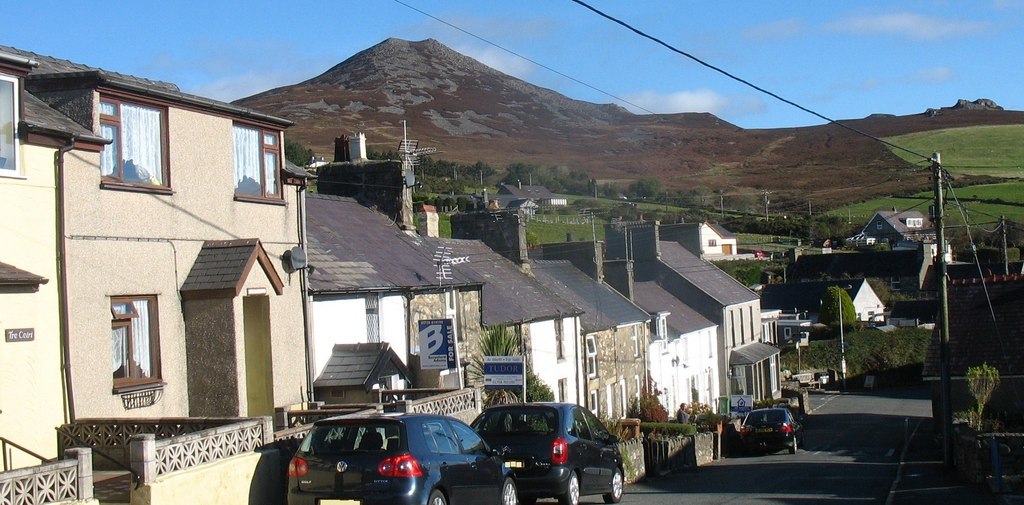
Llithfaen
Llithfaen is a village on the northern coast of the Llŷn Peninsula in Gwynedd, Wales, in the historic county of Caernarfonshire. It is within the community...
Llannor
Llannor (Welsh pronunciation: [ˈɬanɔr]) is a village, parish and community located on the Llŷn Peninsula (Welsh: Penrhyn Llŷn) in the Welsh county of Gwynedd...

Y Ffôr
Y Ffôr is a Welsh village located on the Llŷn Peninsula in the county of Gwynedd. == History == Settlement at Y Ffôr dates back to the Stone Age, but the...

Bryn Beryl Hospital
Bryn Beryl Hospital (Welsh: Ysbyty Bryn Beryl) is a health facility in Pwllheli, Gwynedd, Wales. It is managed by the Betsi Cadwaladr University Health...
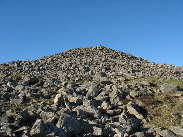
Yr Eifl
Yr Eifl, sometimes called the Rivals in English, is a group of hills on the north coast of the Llŷn Peninsula in Gwynedd, Wales. On a clear day, the views...
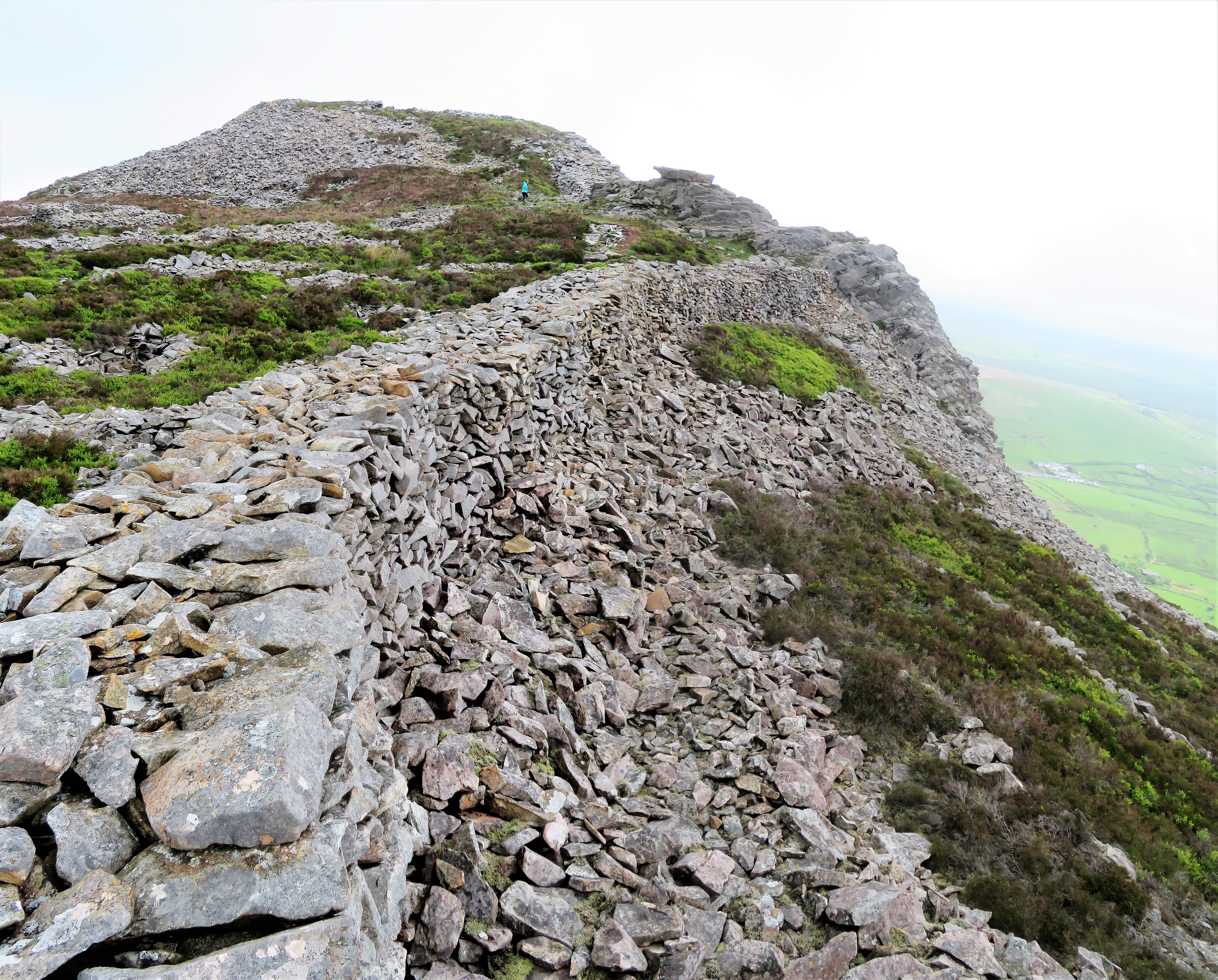
Tre'r Ceiri
Tre'r Ceiri ([treːr ˈkɛiri] ) is a hillfort dating back to the Iron Age. The name means 'town of the giants', from cewri, plural of cawr, 'giant'. The...
Nearby Amenities
Located within 500m of 52.93869,-4.4351143Have you been to Coed Mynydd-mawr?
Leave your review of Coed Mynydd-mawr below (or comments, questions and feedback).