Allt Cwmhawen-fach

Wood, Forest in Cardiganshire

Wales

Allt Cwmhawen-fach

Rocks in the Sea Perfect spot for sea birds to rest between feeds.
Rocks in the Sea Credit: Sandy Gerrard

Allt Cwmhawen-fach, located in Cardiganshire, is a picturesque wood or forest that captivates visitors with its natural beauty and tranquil atmosphere. Covering an area of approximately [insert size], this enchanting woodland is a haven for nature lovers and outdoor enthusiasts alike.

The wood is characterized by a diverse range of tree species, including oak, beech, and birch, which create a rich tapestry of colors throughout the seasons. The forest floor is adorned with an array of wildflowers, adding to its charm and biodiversity. Allt Cwmhawen-fach is also home to various species of wildlife, such as birds, squirrels, and deer, offering visitors the opportunity to observe and appreciate the wonders of nature.

Trails wind their way through the woods, providing visitors with the chance to explore its hidden treasures. Hikers, walkers, and nature enthusiasts can immerse themselves in the peaceful ambiance while enjoying the sights and sounds of the forest.

In addition to its natural beauty, Allt Cwmhawen-fach offers a sense of history. The wood has been a part of the local landscape for centuries and has witnessed the passing of time. There may be remnants of old structures or features that hint at its past use, adding an element of intrigue to the experience.

For those seeking a peaceful retreat or a place to reconnect with nature, Allt Cwmhawen-fach in Cardiganshire is a must-visit destination. Its tranquil surroundings, diverse flora and fauna, and historical significance make it a truly captivating woodland experience.

If you have any feedback on the listing, please let us know in the comments section below.

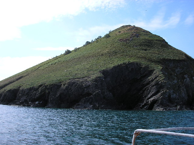
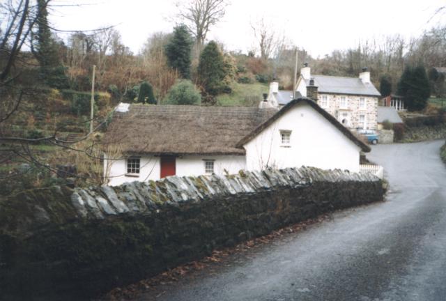
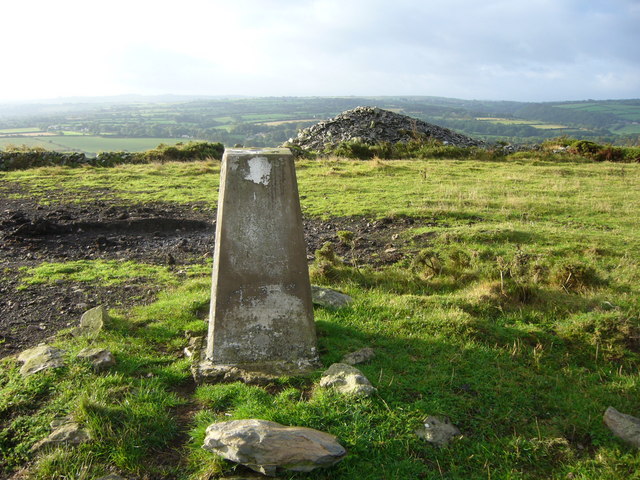
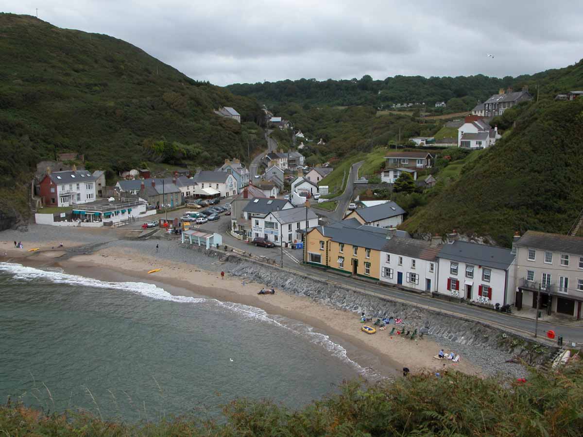
Allt Cwmhawen-fach Images

Images are sourced within 2km of 52.15704/-4.4253629 or Grid Reference SN3453. Thanks to Geograph Open Source API. All images are credited.

Rocks in the Sea Perfect spot for sea birds to rest between feeds.
Rocks in the Sea
Perfect spot for sea birds to rest between feeds.
Direction Sign – Signpost on the B4321 in Pontgarreg Located in Pontgarreg, on the southeast of the junction on the B4321 near the bridge over Nant Hawen. Llangrannog community. 3 arms, 1 missing, and ogee finial. 

Milestone Society National ID: CRD_SN3354
Direction Sign – Signpost on the B4321 in Pontgarreg
Located in Pontgarreg, on the southeast of the junction on the B4321 near the bridge over Nant Hawen. Llangrannog community. 3 arms, 1 missing, and ogee finial. Milestone Society National ID: CRD_SN3354
Direction Sign – Signpost on the B4321 Located on the south of the junction on the B4321 and the minor road to Llwyndafydd. Llangrannog community. 3 arms and ogee finial. 

Milestone Society National ID: CRD_SN3254
Direction Sign – Signpost on the B4321
Located on the south of the junction on the B4321 and the minor road to Llwyndafydd. Llangrannog community. 3 arms and ogee finial. Milestone Society National ID: CRD_SN3254
Llangrannog Dry Ski Slope The slope is 100m long with a misting system to lubricate the surface. 
A button lift and floodlighting completes the facility. 
As part of the Ski Centre a sledging slope operates as a separate facility using "swissbob" type sledges.
Llangrannog Dry Ski Slope
The slope is 100m long with a misting system to lubricate the surface. A button lift and floodlighting completes the facility. As part of the Ski Centre a sledging slope operates as a separate facility using "swissbob" type sledges.
Trwyn Crou, Ceredigion, Wales Trwyn Crou taken from Cardigan bay
Trwyn Crou, Ceredigion, Wales
Trwyn Crou taken from Cardigan bay
Pontgarreg Primary School The 'Welsh Not' was used in this school during the eighteenth and nineteenth century in a bid to prevent pupils from speaking Welsh. The 'Welsh Not', which usually consisted of a small piece of wood or slate inscribed with the letters 'W.N', was hung around the neck of a child who was caught speaking Welsh. At the end of the school day, the child wearing the 'Welsh Not' would be punished by the schoolteacher.
Pontgarreg Primary School
The 'Welsh Not' was used in this school during the eighteenth and nineteenth century in a bid to prevent pupils from speaking Welsh. The 'Welsh Not', which usually consisted of a small piece of wood or slate inscribed with the letters 'W.N', was hung around the neck of a child who was caught speaking Welsh. At the end of the school day, the child wearing the 'Welsh Not' would be punished by the schoolteacher.
New Inn New Inn Public House near Brynhoffnant
New Inn
New Inn Public House near Brynhoffnant
Tree in Lake View of Wervil Grange Farm with tree in lake
Tree in Lake
View of Wervil Grange Farm with tree in lake
Thatched Cottage This Cottage lies alongside the river Nant Rhydyfothau at Penbont between Blaencelyn and Llwyndafydd.
Thatched Cottage
This Cottage lies alongside the river Nant Rhydyfothau at Penbont between Blaencelyn and Llwyndafydd.
Capel y Wig Capel y Wig Independent Chapel near the little Village of Pontgarreg.
Capel y Wig
Capel y Wig Independent Chapel near the little Village of Pontgarreg.
Llandyssiliogogo Head trig
Lane leading down into Penbontrhydyfothau
Small stream
Small stream
Farm house
Farm house
Lon uwchben Pontgarreg / Country Road above Pontgarreg Lon uwchben Pontgarreg gyda ty a gardd ar y de / Country Road above Pontgarreg with a house and garden on the right
Lon uwchben Pontgarreg / Country Road above Pontgarreg
Lon uwchben Pontgarreg gyda ty a gardd ar y de / Country Road above Pontgarreg with a house and garden on the right
Cae Porfa ger Llain Wen, Llangrannog / Grazing Field near Llain Wen, Llangrannog Cae Porfa gyda ffens trydan gyda golygfa draw i Langrannog / Grazing Field with an electric fence and distant view to Llangrannog
Cae Porfa ger Llain Wen, Llangrannog / Grazing Field near Llain Wen, Llangrannog
Cae Porfa gyda ffens trydan gyda golygfa draw i Langrannog / Grazing Field with an electric fence and distant view to Llangrannog
B4321 ger Pentregat / The B4321 near Pentregat Ffordd B syn arwain i Langrannog / B road leading to Llangrannog
B4321 ger Pentregat / The B4321 near Pentregat
Ffordd B syn arwain i Langrannog / B road leading to Llangrannog
Lon Cae y Wig / Cae y Wig Lane Lon Cae y Wig ger Blaencelyn / Cae y Wig Lane near Blaencelyn
Lon Cae y Wig / Cae y Wig Lane
Lon Cae y Wig ger Blaencelyn / Cae y Wig Lane near Blaencelyn
Show me another place!

Allt Cwmhawen-fach is located at Grid Ref: SN3453 (Lat: 52.15704, Lng: -4.4253629)

Unitary Authority: Ceredigion

Police Authority: Dyfed Powys

What 3 Words

///character.dimension.year. Near Llanllwchaiarn, Ceredigion

Related Wikis

Blaen Celyn

Blaen Celyn is a hamlet in the community of Llangrannog, Ceredigion, Wales, 2 miles (3.2 km) east of Llangrannog village. The local St. David's Church...

Pigeon's Ford

Pigeon's Ford is a hamlet in the community of Llangrannog, Ceredigion, Wales, which is 71.8 miles (115.5 km) from Cardiff and 189.9 miles (305.5 km) from...

Penbontrhydyfoethau

Penbontrhydyfothau is a hamlet in the community of Llandysiliogogo, Ceredigion, Wales, which is 70.5 miles (113.4 km) from Cardiff and 187.9 miles (302...

Pentre-gat

Pentre-gat is a small village in the community of Llangrannog, Ceredigion, Wales, which is 69.6 miles (112 km) from Swansea and 381 miles (302.3 km) from...

Llangrannog

Llangrannog (sometimes spelt as Llangranog) is both a village and a community in Ceredigion, Wales, 6 miles (10 km) southwest of New Quay. It lies in...

Brynhoffnant

Brynhoffnant is a small village in the community of Penbryn, Ceredigion, Wales, which is 70.4 miles (113.3 km) from Cardiff and 189.1 miles (304.3 km)...

River Hawen

The River Hawen (Welsh: Nant Hawen) is the main stream that flows through Llangrannog, Ceredigion, Wales into Cardigan Bay. It falls as a waterfall near...

Blaenbedw Fawr

Blaenbedw Fawr is a small village in the community of Llandysiliogogo, Ceredigion, Wales, which is 68.9 miles (110.8 km) from Cardiff and 187 miles (300...

Nearby Amenities

Located within 500m of 52.15704,-4.4253629
Note Retag: CS #48756035
Place: farm
Lat/Long: 52.156147/-4.4307232
The data included in this document is from www.openstreetmap.org. The data is made available under ODbL.

Have you been to Allt Cwmhawen-fach?

Leave your review of Allt Cwmhawen-fach below (or comments, questions and feedback).