Burghfield Common

Settlement in Berkshire

England

Burghfield Common

Island Farm Road There is an Island Farm up the road, but the Island bit is far from apparent.
Island Farm Road Credit: Robin Webster

Burghfield Common is a small village situated in the county of Berkshire, England. It lies approximately 7 miles south-west of Reading and is bordered by the River Kennet to the south.

The village is primarily residential, with a population of around 6,000 people. It offers a peaceful and rural environment, making it an attractive place to live for those seeking a quieter lifestyle while still being within close proximity to larger towns and cities.

Burghfield Common is served by several amenities, including a primary school, a library, and a community center. There are also a number of local shops, restaurants, and pubs, providing residents with convenient access to everyday necessities.

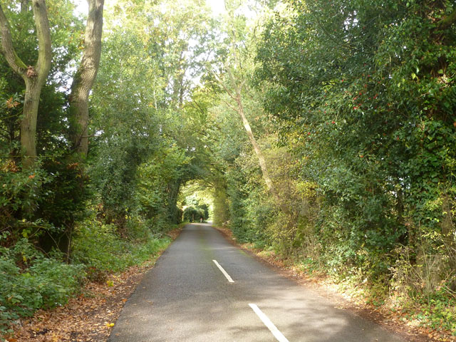
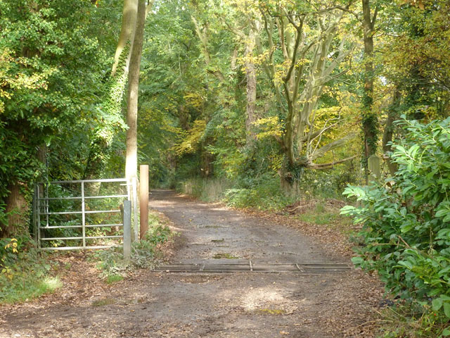
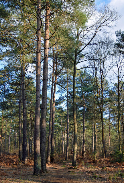
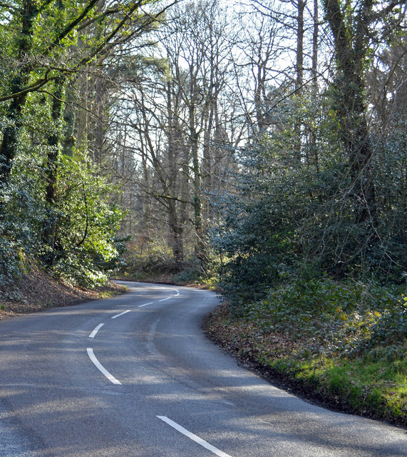
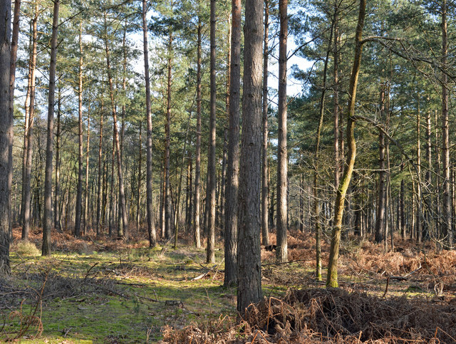
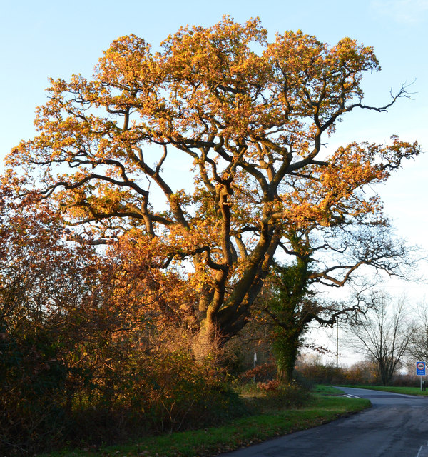
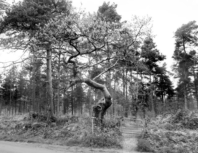
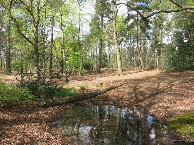
The village is surrounded by beautiful countryside, offering plenty of opportunities for outdoor activities such as walking, cycling, and horse riding. The River Kennet, which flows nearby, is a popular spot for fishing and boating enthusiasts.

Transport links in Burghfield Common are well-developed, with regular bus services connecting the village to nearby towns and villages. The A4 road, one of the main routes in the area, also passes close by, providing easy access to Reading and Newbury.

Overall, Burghfield Common is a charming village that combines the tranquility of rural living with the convenience of nearby amenities. Its picturesque surroundings and strong sense of community make it an appealing place to call home.

If you have any feedback on the listing, please let us know in the comments section below.

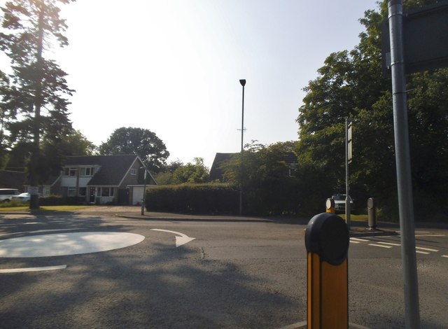
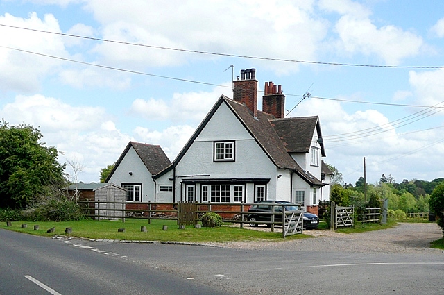
Burghfield Common Images

Images are sourced within 2km of 51.399545/-1.058405 or Grid Reference SU6567. Thanks to Geograph Open Source API. All images are credited.

Island Farm Road There is an Island Farm up the road, but the Island bit is far from apparent.
Island Farm Road
There is an Island Farm up the road, but the Island bit is far from apparent.
Bridleway to Burghfield Common Also access to Firlands Farm.
Bridleway to Burghfield Common
Also access to Firlands Farm.
Maple leaves in Burghfield Common, Berkshire Autumn colour and a sliver of sunshine.
Maple leaves in Burghfield Common, Berkshire
Autumn colour and a sliver of sunshine.
Rural houses, Wokefield, Berkshire
Cottage at Christmas, Wokefield, Berkshire
Modern house, Burghfield Common, Berkshire
Woodland path, Wokefield, Berkshire
Country road, Mortimer, Berkshire
Woodland, Wokefield, Berkshire
Late afternoon sunshine, Ufton Nervet, Berkshire
Gnarled tree by the gate A fine specimen of gnarlyness. The footpath is one of the mysterious Berkshire Circular Routes which still appear as LDPs on some Ordnance Survey maps but have no other info or way marking.
The theory is that these routes were an initiative by the old Berkshire County Council which never got progressed after that council was wound up in 1998.
Gnarled tree by the gate
A fine specimen of gnarlyness. The footpath is one of the mysterious Berkshire Circular Routes which still appear as LDPs on some Ordnance Survey maps but have no other info or way marking. The theory is that these routes were an initiative by the old Berkshire County Council which never got progressed after that council was wound up in 1998.
Small Pond on the Footpath It's been wet recently, and this pool has formed in a dip where the path crosses. Fortunately, that handy fallen log makes a dry way across.
Small Pond on the Footpath
It's been wet recently, and this pool has formed in a dip where the path crosses. Fortunately, that handy fallen log makes a dry way across.
Double roundabout on Goring Lane, Burghfield
Houses on Goring Lane, Burghfield
Island Farm Road, Burghfield
Boldrewood, Burghfield Common A residential street in this very suburban village.
Boldrewood, Burghfield Common
A residential street in this very suburban village.
Paths on Wokefield Common A wooded area with very good public access along numerous tracks.
Paths on Wokefield Common
A wooded area with very good public access along numerous tracks.
Woodland, Wokefield Common Two very different commons side by side.
Burghfield Common is mostly all houses, Wokefield Common is mostly all trees.
Woodland, Wokefield Common
Two very different commons side by side. Burghfield Common is mostly all houses, Wokefield Common is mostly all trees.
Show me another place!

Burghfield Common is located at Grid Ref: SU6567 (Lat: 51.399545, Lng: -1.058405)

Unitary Authority: West Berkshire

Police Authority: Thames Valley

What 3 Words

///driven.gender.poems. Near Stratfield Mortimer, Berkshire

Related Wikis

Great Auclum National Speed Hill Climb

Great Auclum National Speed Hill Climb was a motorcar course close to Burghfield Common in the English county of Berkshire. It was based in the grounds...

The Willink School

The Willink School is a comprehensive community school in Burghfield Common, Berkshire, United Kingdom. Founded in 1957, the school is co-educational and...

Goddard's Green, Berkshire

Goddard's Green is a hamlet and part of the civil parish of Wokefield in Berkshire, England. The settlement lies between the villages of Burghfield Common...

Arlington Square, Bracknell

Arlington Square Business Park is a business park in Bracknell, England, owned and operated by Goodman Group. The park houses a number of well-known companies...

Nearby Amenities

Located within 500m of 51.399545,-1.058405
Burghfield Common
Is In: Berkshire, England, UK
Place: village
Lat/Long: 51.3972125/-1.0624237
Turning Circle
Lat/Long: 51.3967907/-1.0589451
Turning Circle
Lat/Long: 51.3970617/-1.0575838
Turning Circle
Lat/Long: 51.3981084/-1.0573103
Post Box
Operator: Royal Mail
Post Box Type: lamp
Ref: RG7 130D
Royal Cypher: EIIR
Royal Cypher Wikidata: Q33102113
Lat/Long: 51.3985549/-1.0554868
Turning Circle
Lat/Long: 51.3982632/-1.0646527
Turning Loop
Lat/Long: 51.3980942/-1.0606455
Post Box
Operator: Royal Mail
Post Box Type: wall
Ref: RG7 44D
Royal Cypher: GR
Royal Cypher Wikidata: Q33102273
Lat/Long: 51.4006085/-1.0535035
Turning Circle
Lat/Long: 51.4015909/-1.0539519
Turning Circle
Lat/Long: 51.4012173/-1.0549121
Turning Circle
Lat/Long: 51.4004772/-1.0554056
Turning Circle
Lat/Long: 51.4009204/-1.0560802
Turning Circle
Lat/Long: 51.3992419/-1.0570732
Turning Circle
Lat/Long: 51.3996864/-1.0566684
Turning Circle
Lat/Long: 51.4017348/-1.0552501
Turning Circle
Lat/Long: 51.4018619/-1.056152
Turning Circle
Lat/Long: 51.4011632/-1.0575451
Turning Circle
Lat/Long: 51.3999649/-1.0556905
Warings Bakery
Addr Postcode: RG7 3BL
Addr Street: Reading Road
Shop: bakery
Source: local-knowledge
Website: https://www.waringsbakery.co.uk/
Lat/Long: 51.4005418/-1.0540978
Turning Circle
Lat/Long: 51.4003588/-1.0607656
Turning Circle
Lat/Long: 51.4008838/-1.0596436
Turning Circle
Lat/Long: 51.4007399/-1.0594657
Turning Circle
Lat/Long: 51.3986397/-1.058566
Turning Circle
Lat/Long: 51.398229/-1.0593747
Turning Circle
Lat/Long: 51.3984936/-1.0599188
Bus Stop
Clayhill Road Shops
Naptan AtcoCode: 030054480002
Naptan NaptanCode: brkmdtm
Route Ref: 2
Lat/Long: 51.4008641/-1.0651863
Turning Circle
Lat/Long: 51.400735/-1.0623985
Turning Circle
Lat/Long: 51.4012657/-1.0606723
Post Box
Created By: Potlatch 0.10b
Lat/Long: 51.4017038/-1.0622706
Bus Stop
Naptan AtcoCode: 030055980001
Naptan NaptanCode: brkdmpw
Lat/Long: 51.4016502/-1.0624251
Bus Stop
The Close
Naptan AtcoCode: 030055980002
Naptan NaptanCode: brkdmta
Route Ref: 2
Lat/Long: 51.401925/-1.0619449
Turning Circle
Lat/Long: 51.4015233/-1.0596634
Turning Circle
Lat/Long: 51.4014129/-1.0587868
Turning Circle
Lat/Long: 51.4013132/-1.0588865
Bus Stop
Holmdene (opp)
Bus: yes
Departures Board: timetable
Naptan AtcoCode: 030053190001
Naptan NaptanCode: brkgwda
Network: Lime 2a
Operator: Reading Buses
Public Transport: platform
Shelter: no
Lat/Long: 51.3995108/-1.0553744
Bus Stop
Manns Hill (adj)
Bus: yes
Departures Board: timetable
Naptan AtcoCode: 030053860001
Naptan NaptanCode: brkmamp
Network: Lime 2a
Operator: Reading Buses
Public Transport: platform
Shelter: no
Lat/Long: 51.4004807/-1.053553
Bus Stop
Manns Hill (opp)
Bus: yes
Departures Board: timetable
Naptan AtcoCode: 030053860002
Naptan NaptanCode: brkmamt
Network: Lime 2a
Operator: Reading Buses
Public Transport: platform
Shelter: no
Lat/Long: 51.4006707/-1.0533698
Forge Garage
Shop: car_repair
Source: knowledge
Website: http://www.forgegarageburghfield.co.uk/
Lat/Long: 51.4002921/-1.0541901
Fast Food
Lat/Long: 51.4012022/-1.0649082
Restaurant
Created By: Potlatch 0.10b
Lat/Long: 51.401174/-1.0650099
Turning Circle
Tarragon Way
Surface: paved
Lat/Long: 51.3982523/-1.0557151
Turning Circle
Lat/Long: 51.3958727/-1.0597226
Turning Circle
Lat/Long: 51.3956388/-1.0571091
Turning Circle
Lat/Long: 51.3955203/-1.0570032
Atm
NatWest
Brand: NatWest
Brand Wikidata: Q2740021
Note: on side of petrol station
Operator: NatWest
Operator Wikidata: Q2740021
Lat/Long: 51.3964637/-1.0625111
Source: GPS, knowledge
Lat/Long: 51.4014518/-1.0523045
Turning Circle
Lat/Long: 51.4015957/-1.0525331
Source: GPS
Traffic Calming: choker
Lat/Long: 51.4016593/-1.0627965
Traffic Calming: choker
Lat/Long: 51.4020786/-1.0614164
Source: GPS
Traffic Calming: choker
Lat/Long: 51.402223/-1.0610087
Traffic Calming: choker
Lat/Long: 51.403053/-1.0595829
Wellers - The Fruit Shop
Addr Housename: White Cottage
Addr Postcode: RG7 3BL
Addr Street: Reading Road
Shop: greengrocer
Source: local knowledge
Website: http://www.the-fruit-shop.co.uk/
Lat/Long: 51.4005142/-1.054142
Marshalls Pet Store
Addr Postcode: RG7 3BL
Addr Street: Reading Road
Designation: Pet supplies
Shop: pet
Source: local-knowledge
Website: http://petfoodstore.co.uk/
Lat/Long: 51.4005696/-1.0540534
Turning Circle
Lat/Long: 51.3971673/-1.0539038
Veterinary
Source: knowledge
Lat/Long: 51.398339/-1.0565038
Turning Circle
Lat/Long: 51.3973877/-1.0528086
Turning Circle
Lat/Long: 51.40211/-1.0568594
Crossing
Barrier: kerb
Crossing: uncontrolled
Crossing Island: yes
Kerb: lowered
Source: Bing
Tactile Paving: yes
Wheelchair: yes
Lat/Long: 51.3985676/-1.0570638
Crossing
Barrier: kerb
Crossing: uncontrolled
Crossing Island: yes
Kerb: lowered
Source: Bing
Tactile Paving: yes
Wheelchair: yes
Lat/Long: 51.3986184/-1.0571094
Crossing
Barrier: kerb
Crossing: uncontrolled
Crossing Island: yes
Kerb: lowered
Source: Bing
Tactile Paving: yes
Wheelchair: yes
Lat/Long: 51.3985306/-1.0567515
Crossing
Barrier: kerb
Crossing: uncontrolled
Crossing Island: yes
Kerb: lowered
Source: Bing
Tactile Paving: yes
Wheelchair: yes
Lat/Long: 51.3985075/-1.0568307
Crossing
Barrier: kerb
Crossing: uncontrolled
Crossing Island: yes
Kerb: lowered
Source: Bing
Tactile Paving: yes
Wheelchair: yes
Lat/Long: 51.3987396/-1.0567173
Crossing
Crossing: uncontrolled
Crossing Island: yes
Kerb: lowered
Source: Bing
Tactile Paving: yes
Wheelchair: yes
Lat/Long: 51.3987898/-1.0570184
Crossing
Barrier: kerb
Crossing: uncontrolled
Crossing Island: yes
Kerb: lowered
Source: Bing
Tactile Paving: yes
Wheelchair: yes
Lat/Long: 51.3987888/-1.0567938
Crossing
Barrier: kerb
Crossing: uncontrolled
Crossing Island: yes
Kerb: lowered
Source: Bing
Tactile Paving: yes
Wheelchair: yes
Lat/Long: 51.3987725/-1.0570658
Crossing
Barrier: kerb
Crossing: traffic_signals
Crossing Ref: pelican
Kerb: lowered
Tactile Paving: yes
Wheelchair: yes
Lat/Long: 51.3970505/-1.0608587
Traffic Signals
Traffic Signals: pedestrian_crossing
Traffic Signals Direction: forward
Lat/Long: 51.3970303/-1.0609128
Traffic Signals
Traffic Signals: pedestrian_crossing
Traffic Signals Direction: backward
Lat/Long: 51.3970888/-1.0607786
Barrier: kerb
Lat/Long: 51.3969343/-1.0611142
Bus Stop
Blands Court (adj)
Bus: yes
Departures Board: timetable
Naptan AtcoCode: 030050600002
Naptan NaptanCode: brkgapg
Network: Lime 2a
Operator: Reading Buses
Public Transport: platform
Shelter: no
Lat/Long: 51.3972241/-1.0605011
Bus Stop
Blands Court (opp)
Bus: yes
Departures Board: timetable
Naptan AtcoCode: 030050600001
Naptan NaptanCode: brkadam
Network: Lime 2a
Operator: Reading Buses
Public Transport: platform
Shelter: no
Lat/Long: 51.3971923/-1.0603643
Bus Stop
Holmdene (adj)
Bus: yes
Departures Board: timetable
Naptan AtcoCode: 030053190002
Naptan NaptanCode: brkpjdm
Network: Lime 2a
Operator: Reading Buses
Public Transport: platform
Shelter: no
Lat/Long: 51.3995384/-1.0554173
Colour: green
Man Made: street_cabinet
Operator: Openreach
Street Cabinet: telecom
Utility: telecom
Lat/Long: 51.4010329/-1.052534
Colour: green
Man Made: street_cabinet
Operator: Openreach
Street Cabinet: telecom
Utility: telecom
Lat/Long: 51.4009622/-1.052503
Speed Camera
Direction: 60
Maxspeed: 30 mph
Lat/Long: 51.3963947/-1.0622233
Speed Camera
Direction: 240
Maxspeed: 30 mph
Lat/Long: 51.3975887/-1.0596515
The data included in this document is from www.openstreetmap.org. The data is made available under ODbL.

Have you been to Burghfield Common?

Leave your review of Burghfield Common below (or comments, questions and feedback).