Allt Gelligatti
Wood, Forest in Carmarthenshire
Wales
Allt Gelligatti
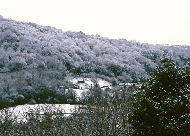
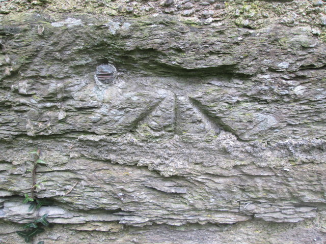
Allt Gelligatti, located in Carmarthenshire, Wales, is a stunning woodland area that covers an expansive area of natural beauty. The name "Allt Gelligatti" translates to "Hill of the Red Grove" in English, which accurately describes the landscape and ambiance of the site.
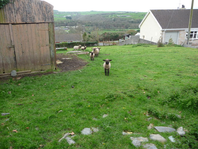
The woodland is characterized by its dense forests of various tree species, including oak, beech, birch, and pine. These trees form a lush canopy, providing shade and creating a peaceful and tranquil atmosphere for visitors. The forest floor is covered with a rich carpet of mosses, ferns, and wildflowers, adding to the beauty and biodiversity of the area.
Allt Gelligatti is home to a diverse range of wildlife, including various bird species, such as woodpeckers, owls, and songbirds. Mammals, such as badgers, foxes, and squirrels, can also be spotted within the woodland. The presence of these animals adds an element of enchantment and excitement for nature enthusiasts.
The woodland offers a network of trails and paths, allowing visitors to explore and immerse themselves in its natural wonders. These paths wind through the trees, offering glimpses of breathtaking vistas, babbling brooks, and hidden glens. The area is a haven for hikers, joggers, and nature photographers, who are drawn to the beauty and tranquility of the surroundings.
Allt Gelligatti is not only a picturesque woodland but also a valuable natural resource. It plays a crucial role in carbon sequestration, helping to mitigate climate change. Furthermore, the forest provides a habitat for numerous plant and animal species, contributing to the overall biodiversity of the region.
In summary, Allt Gelligatti is a captivating woodland that showcases the natural beauty of Carmarthenshire. With its diverse flora and fauna, scenic trails, and serene ambiance, it is a cherished destination for nature lovers and a vital ecosystem within the region.
If you have any feedback on the listing, please let us know in the comments section below.
Allt Gelligatti Images
Images are sourced within 2km of 52.043796/-4.4959631 or Grid Reference SN2841. Thanks to Geograph Open Source API. All images are credited.

Allt Gelligatti is located at Grid Ref: SN2841 (Lat: 52.043796, Lng: -4.4959631)
Unitary Authority: Carmarthenshire
Police Authority: Dyfed Powys
What 3 Words
///acrobats.appointed.digit. Near Newcastle Emlyn, Ceredigion
Nearby Locations
Related Wikis

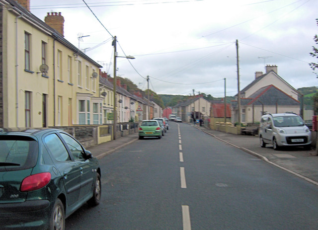
Pen-y-wenallt
Pen-y-wenallt is a hamlet in Ceredigion (formerly Cardiganshire), Wales. Pen-y-wenallt lies halfway between Cenarth and Pont Ceri, bordering on Carmarthenshire...
Tre-Wen
Tre-Wen is a small village in the community of Beulah, Ceredigion, Wales, which is 68.6 miles (110.4 km) from Cardiff and 190.2 miles (306.1 km) from...
Pont Ceri
Pont Ceri is a small village in the community of Llandyfriog, Ceredigion, Wales, located where the Afon Ceri flows into the River Teifi, two miles (3...
Troed-y-rhiw-Sion
Troed-y-rhiw-Sion is a hamlet in the community of Beulah, Ceredigion, Wales, which is 69.3 miles (111.6 km) from Cardiff and 190.9 miles (307.2 km) from...
Rhipinllwyd
Rhipinllwyd (or Rhippinllwyd) is a hamlet in the community of Beulah, Ceredigion, Wales, which is 69.3 miles (111.5 km) from Cardiff and 190.7 miles...
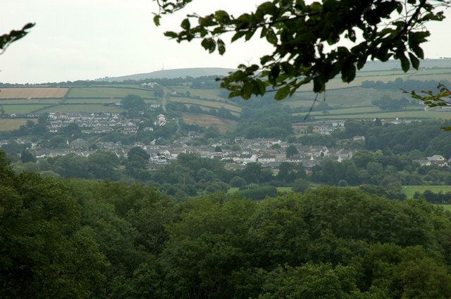
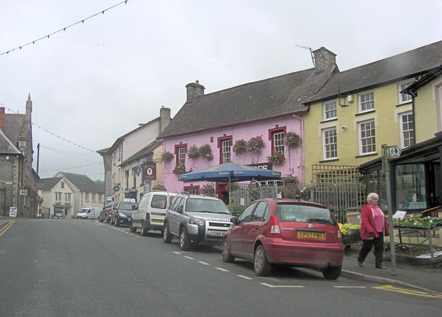
Newcastle Emlyn
Newcastle Emlyn (Welsh: Castellnewydd Emlyn) is a town on the River Teifi, straddling the counties of Ceredigion and Carmarthenshire in West Wales. It...

Cenarth Falls
The Cenarth Falls is a cascade of waterfalls just upstream of the road bridge in the village of Cenarth in Ceredigion, bordering Carmarthenshire and Pembrokeshire...
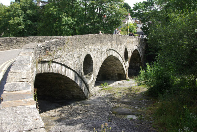
Cenarth Bridge
Cenarth Bridge (Welsh: Pont Cenarth), also spelt Kenarth Bridge, is a three arch bridge which spans the River Teifi at Cenarth, Carmarthenshire in Wales...
Nearby Amenities
Located within 500m of 52.043796,-4.4959631Have you been to Allt Gelligatti?
Leave your review of Allt Gelligatti below (or comments, questions and feedback).