Wenallt

Wood, Forest in Cardiganshire

Wales

Wenallt

Redevelopment near Adpar This old place has seen better days and redevelopment has started but might have been suspended for some reason.
Redevelopment near Adpar Credit: Jeremy Bolwell

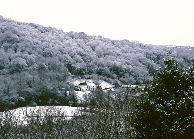
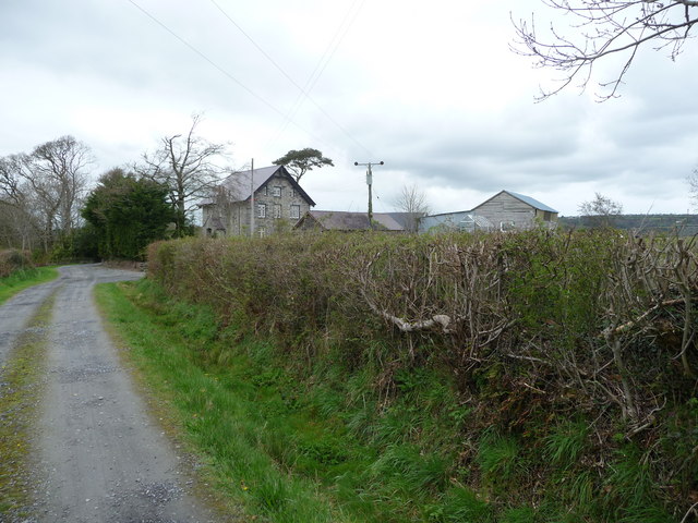
Wenallt is a small village located in the county of Cardiganshire, Wales. Situated amidst the picturesque landscape of the Cambrian Mountains, the village is renowned for its beautiful woodlands and forests, which give it its name.

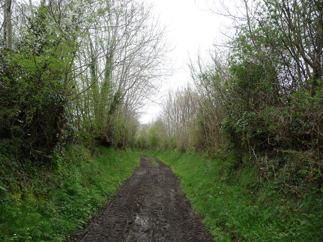
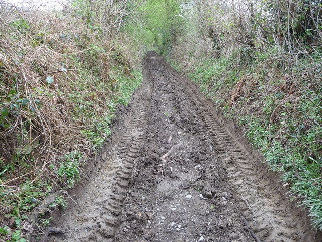
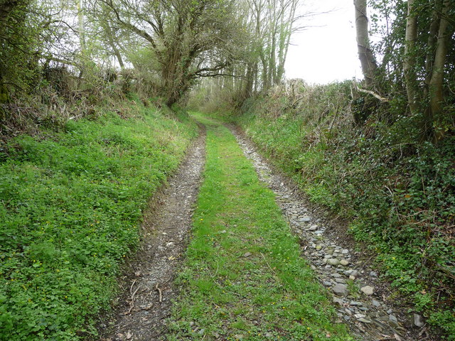
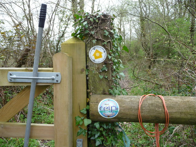
The village is perched on the banks of the River Teifi, which flows through the region, adding to the natural charm of the area. The surrounding woodlands are rich in biodiversity, with a variety of native tree species such as oak, beech, and birch. These woodlands provide a habitat for a diverse range of flora and fauna, making it a popular destination for nature enthusiasts and hikers.

Wenallt is a peaceful and idyllic retreat, offering a serene and tranquil environment for its residents and visitors. The village is characterized by quaint cottages and traditional Welsh architecture, creating a charming and welcoming atmosphere. The local community is close-knit, with a strong sense of community spirit and pride in their natural surroundings.

The village also benefits from its proximity to the nearby town of Cardigan, which offers a range of amenities including shops, cafes, and schools. Additionally, the coastline is just a short drive away, allowing residents to enjoy the beautiful sandy beaches and coastal walks.

In summary, Wenallt is a hidden gem nestled in the heart of the Cardiganshire countryside. With its stunning woodlands, peaceful ambiance, and strong community spirit, it is a place that captivates the hearts of all who visit.

If you have any feedback on the listing, please let us know in the comments section below.
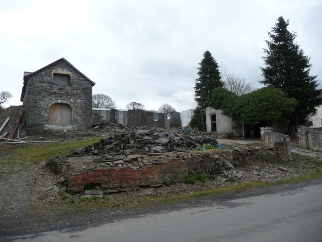
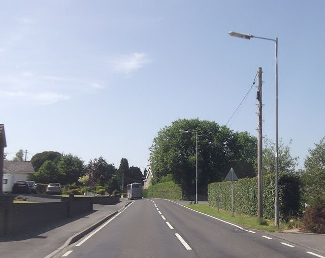
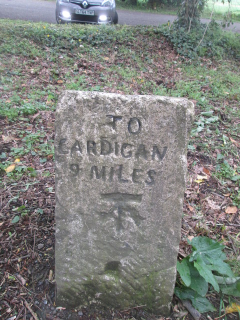
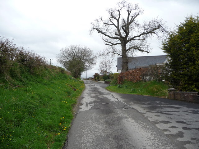
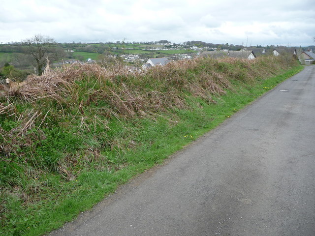
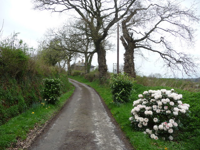
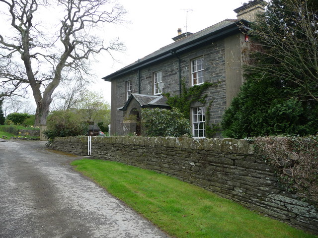
Wenallt Images

Images are sourced within 2km of 52.046371/-4.4983672 or Grid Reference SN2841. Thanks to Geograph Open Source API. All images are credited.

Redevelopment near Adpar This old place has seen better days and redevelopment has started but might have been suspended for some reason.
Redevelopment near Adpar
This old place has seen better days and redevelopment has started but might have been suspended for some reason.
Banc-lâs, Cwmceri
Banc-lâs, Cwmceri
A484 approaching Trem-y-ddol junction
Milestone - Cardigan 9 There is an Ordnance Survey cut mark on the milestone. It marks a point 80.3090ft above mean sea level.
Milestone - Cardigan 9
There is an Ordnance Survey cut mark on the milestone. It marks a point 80.3090ft above mean sea level.
Oak tree on the lane Now surrounded by housing this old oak has been lopped but still manages to look noble, dignified and natural.
Oak tree on the lane
Now surrounded by housing this old oak has been lopped but still manages to look noble, dignified and natural.
Lane above Newcastle Emlyn This lane has nice views over a horse paddock towards distant Adpar on the other side of the Teifi valley. The horse spotted me and was temporarily intrigued.
Lane above Newcastle Emlyn
This lane has nice views over a horse paddock towards distant Adpar on the other side of the Teifi valley. The horse spotted me and was temporarily intrigued.
Flowers in the lane The Daffs have gone over but this flowering shrub is an eye-catching sight along with two laurel shrubs on the drive up to Gelligatti Farm.
Flowers in the lane
The Daffs have gone over but this flowering shrub is an eye-catching sight along with two laurel shrubs on the drive up to Gelligatti Farm.
Gelligatti farmhouse A handsome farm house.
Gelligatti farmhouse
A handsome farm house.
Stone carving at Gelligatti This figure has been added to one of the pillars at the farmyard. The owner I would suspect.
Stone carving at Gelligatti
This figure has been added to one of the pillars at the farmyard. The owner I would suspect.
Farm buildings at Gelligatti An impressive range of old stone buildings graces Gelligatti's farmyard.
Farm buildings at Gelligatti
An impressive range of old stone buildings graces Gelligatti's farmyard.
Old wheeled dozer at Gelligatti This old open-topped wheeled vehicle has been left to rot in this field edge. I wonder what its scrap value was or is?
Old wheeled dozer at Gelligatti
This old open-topped wheeled vehicle has been left to rot in this field edge. I wonder what its scrap value was or is?
Outbuildings at Gelligatti farm In amongst the extensive outbuildings is an old classic Landy. Maybe things haven't been the same at Gelligatti since milk quotas came in way back in '84.
Outbuildings at Gelligatti farm
In amongst the extensive outbuildings is an old classic Landy. Maybe things haven't been the same at Gelligatti since milk quotas came in way back in '84.
Green lane near Gelligatti The Blackthorn is in flower and Spring is creeping along this lane.
Green lane near Gelligatti
The Blackthorn is in flower and Spring is creeping along this lane.
Farm track near Gillo Farm A dumper truck has been passing along this lane today, leaving quite sizeable ruts.
Farm track near Gillo Farm
A dumper truck has been passing along this lane today, leaving quite sizeable ruts.
Pigs at Gillo Farm These pigs have been rooting through their ground here. Younger pigs are nearer the farm.
Pigs at Gillo Farm
These pigs have been rooting through their ground here. Younger pigs are nearer the farm.
Green lane rising towards Old Vicarage Farm This track rises up this slope and curves towards the farm ahead.
Green lane rising towards Old Vicarage Farm
This track rises up this slope and curves towards the farm ahead.
Bridleway gate on the footpath This is a bridleway and marked with two local trail waymarkers too.
Bridleway gate on the footpath
This is a bridleway and marked with two local trail waymarkers too.
Old Vicarage Farm Presumably originally a vicarage and subsequently a farm.
Old Vicarage Farm
Presumably originally a vicarage and subsequently a farm.
Show me another place!

Wenallt is located at Grid Ref: SN2841 (Lat: 52.046371, Lng: -4.4983672)

Unitary Authority: Ceredigion

Police Authority: Dyfed Powys

What 3 Words

///easily.unsecured.users. Near Newcastle Emlyn, Ceredigion

Nearby Locations

Wenallt Allt Gelligatti

Related Wikis

Pen-y-wenallt

Pen-y-wenallt is a hamlet in Ceredigion (formerly Cardiganshire), Wales. Pen-y-wenallt lies halfway between Cenarth and Pont Ceri, bordering on Carmarthenshire...

Tre-Wen

Tre-Wen is a small village in the community of Beulah, Ceredigion, Wales, which is 68.6 miles (110.4 km) from Cardiff and 190.2 miles (306.1 km) from...

Pont Ceri

Pont Ceri is a small village in the community of Llandyfriog, Ceredigion, Wales, located where the Afon Ceri flows into the River Teifi, two miles (3...

Troed-y-rhiw-Sion

Troed-y-rhiw-Sion is a hamlet in the community of Beulah, Ceredigion, Wales, which is 69.3 miles (111.6 km) from Cardiff and 190.9 miles (307.2 km) from...

Rhipinllwyd

Rhipinllwyd (or Rhippinllwyd) is a hamlet in the community of Beulah, Ceredigion, Wales, which is 69.3 miles (111.5 km) from Cardiff and 190.7 miles...

Cenarth Falls

The Cenarth Falls is a cascade of waterfalls just upstream of the road bridge in the village of Cenarth in Ceredigion, bordering Carmarthenshire and Pembrokeshire...
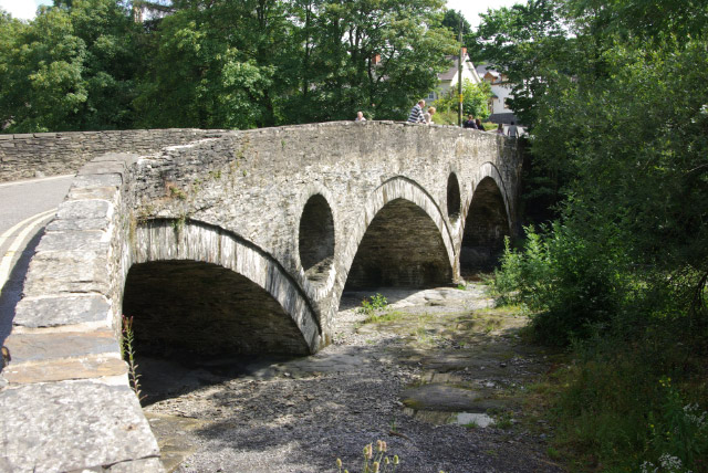
Cenarth Bridge

Cenarth Bridge (Welsh: Pont Cenarth), also spelt Kenarth Bridge, is a three arch bridge which spans the River Teifi at Cenarth, Carmarthenshire in Wales...

National Coracle Centre

The National Coracle Centre is a museum in Cenarth, Carmarthenshire dedicated to coracles. It is owned by Martin Fowler and entry is via the wall of his...

Nearby Amenities

Located within 500m of 52.046371,-4.4983672
Gelli Gatti
Place: farm
Lat/Long: 52.0430081/-4.4949183
The data included in this document is from www.openstreetmap.org. The data is made available under ODbL.

Have you been to Wenallt?

Leave your review of Wenallt below (or comments, questions and feedback).