Coed Rhôs-gwerthyr

Wood, Forest in Caernarfonshire

Wales

Coed Rhôs-gwerthyr

Direction Sign – Signpost where the B4413 and the B4415 meet Located on the northeast side of the T junction of the B4413 and the B4415 in Llanengan community. 4 arms and pawn finial. See also <a title="https://www.geograph.org.uk/photo/2001360" href="https://www.geograph.org.uk/photo/2001360">Link</a>.

Milestone Society National ID: CAE_SH2831
Direction Sign – Signpost where the B4413 and the B4415 meet Credit: A Brown

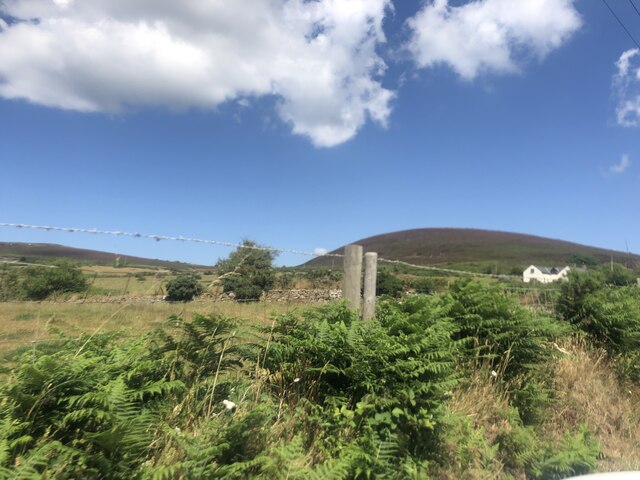
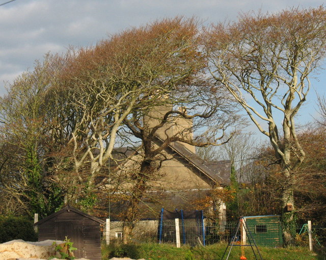
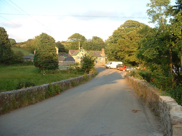
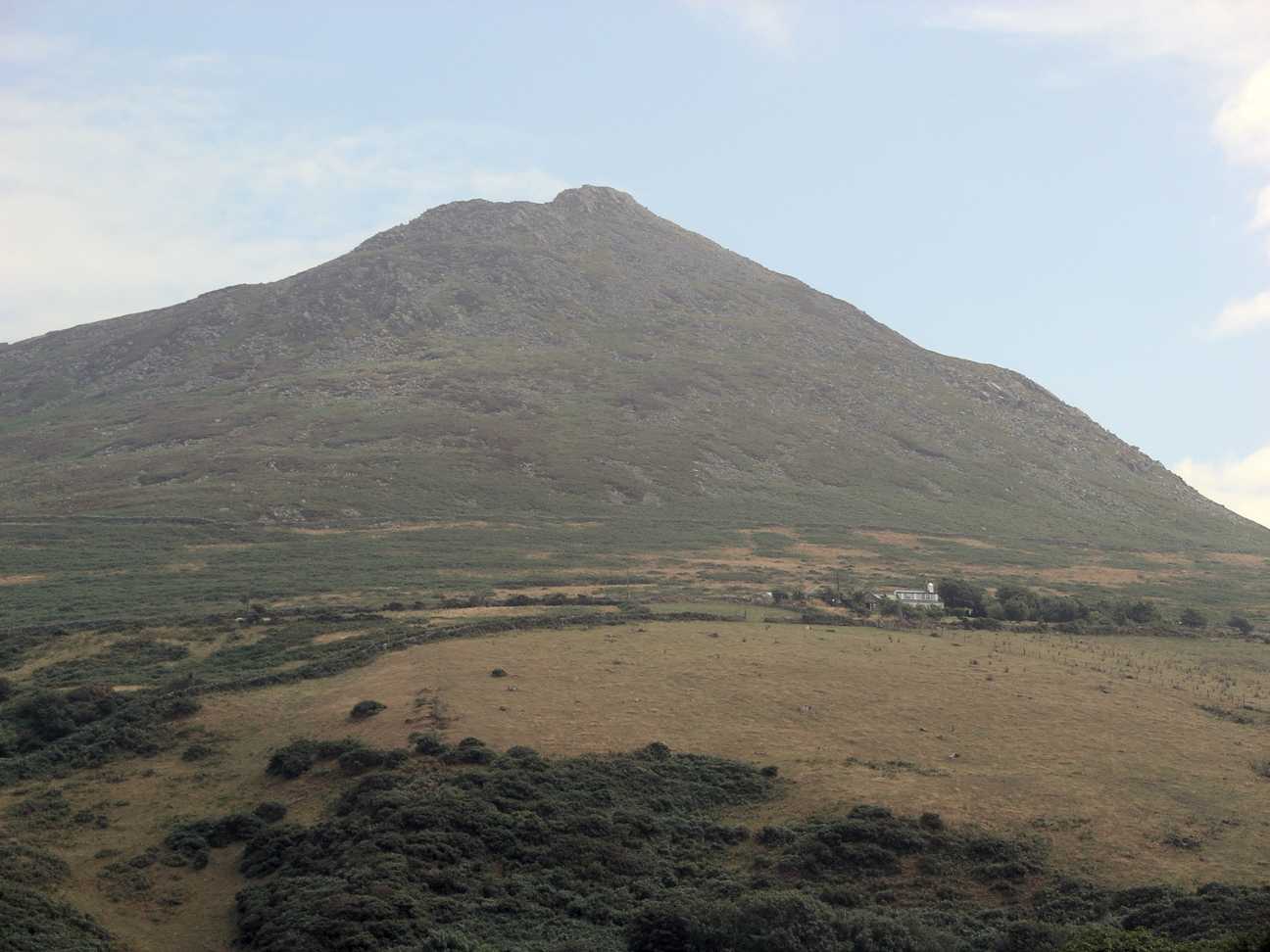
Coed Rhôs-gwerthyr is a picturesque woodland located in Caernarfonshire, Wales. Situated near the village of Rhôs-gwerthyr, this forest covers an expansive area of land and is known for its stunning natural beauty and diverse range of flora and fauna.

The woodland is predominantly made up of native tree species, including oak, beech, and birch. These towering trees provide a lush canopy, creating a serene and tranquil atmosphere within the forest. The forest floor is covered in a thick carpet of ferns, moss, and wildflowers, adding to its enchanting appeal.

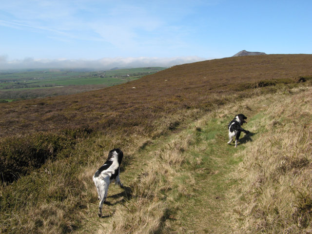
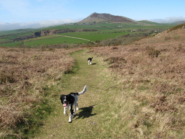
Coed Rhôs-gwerthyr is home to a rich variety of wildlife. Many bird species can be spotted here, such as owls, woodpeckers, and songbirds. The forest also provides a habitat for mammals like deer, badgers, and foxes. Nature enthusiasts and photographers often visit the woodland to capture the beauty of these animals in their natural surroundings.

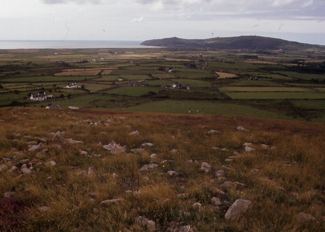
The forest offers several walking trails, allowing visitors to explore and immerse themselves in its natural wonders. These paths wind through the trees and offer breathtaking views of the surrounding countryside. It is a popular destination for hikers, families, and nature lovers who seek solitude and tranquility.

Coed Rhôs-gwerthyr is not only a haven for wildlife but also plays an important role in maintaining the ecological balance of the region. It acts as a carbon sink, absorbing carbon dioxide and reducing greenhouse gas emissions. The woodland also helps to prevent soil erosion and provides a natural habitat for a wide range of plants and animals.

Overall, Coed Rhôs-gwerthyr is a remarkable woodland that showcases the beauty and diversity of nature. Its scenic landscapes, abundant wildlife, and ecological importance make it a must-visit destination for anyone seeking a peaceful and immersive experience in nature.

If you have any feedback on the listing, please let us know in the comments section below.

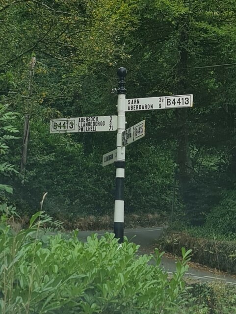
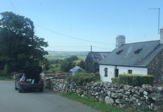
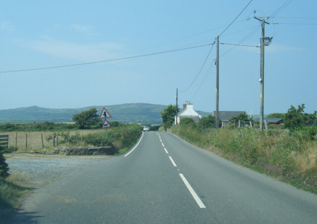
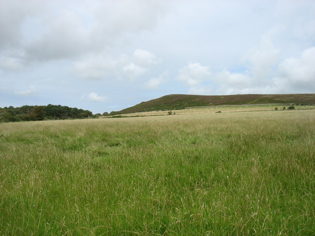
Coed Rhôs-gwerthyr Images

Images are sourced within 2km of 52.853969/-4.5474767 or Grid Reference SH2831. Thanks to Geograph Open Source API. All images are credited.

Direction Sign – Signpost where the B4413 and the B4415 meet Located on the northeast side of the T junction of the B4413 and the B4415 in Llanengan community. 4 arms and pawn finial. See also <a title="https://www.geograph.org.uk/photo/2001360" href="https://www.geograph.org.uk/photo/2001360">Link</a>.

Milestone Society National ID: CAE_SH2831
Direction Sign – Signpost where the B4413 and the B4415 meet
Located on the northeast side of the T junction of the B4413 and the B4415 in Llanengan community. 4 arms and pawn finial. See also Link. Milestone Society National ID: CAE_SH2831
Saethon Bach Cottage north of Mynytho
Saethon Bach
Cottage north of Mynytho
Stone walls at Nanhoron On the left, the high wall hides Nanhoron Home Farm. On the right the wall stretches along the boundary of Nanhoron Estate
Stone walls at Nanhoron
On the left, the high wall hides Nanhoron Home Farm. On the right the wall stretches along the boundary of Nanhoron Estate
B4413 west of Mynytho
B4413 near Bodlondeb
B4413 near Bryngwynyd
Field west of Mynytho
Fields below Mynytho Common
The drive to Nanhoron
Foel Gron A hill near Mynytho
Foel Gron
A hill near Mynytho
Neuadd Mynytho Village Hall
B4413 junction in Mynytho
Shop Nant, Nanhoron Ancient stone cottage and former coffin makers workshop now converted to living accommodation.
Shop Nant, Nanhoron
Ancient stone cottage and former coffin makers workshop now converted to living accommodation.
Shop Nant (Siop y Nant) Shop Nant before renovation in 1985.
Shop Nant (Siop y Nant)
Shop Nant before renovation in 1985.
Fields on the common Not marked on the map at 1:50,000 are these fields which make an enclosure within the common, and in need of investigation as they were unoccupied at the time of our visit. The peak of Carn Fadryn <a href="https://www.geograph.org.uk/gridref/SH2735">SH2735</a> looms over the local horizon.
Fields on the common
Not marked on the map at 1:50,000 are these fields which make an enclosure within the common, and in need of investigation as they were unoccupied at the time of our visit. The peak of Carn Fadryn SH2735 looms over the local horizon.
Track and heath Informal tracks encircle the enclosure in the northern common. The low vegetation comprises heath and gorse, both very dead-looking at this time of year. In the distance can be seen the ever-present summit of Carn Fadryn and the northern coastal hills which are covered in a sea fog.
Track and heath
Informal tracks encircle the enclosure in the northern common. The low vegetation comprises heath and gorse, both very dead-looking at this time of year. In the distance can be seen the ever-present summit of Carn Fadryn and the northern coastal hills which are covered in a sea fog.
Footpath and Carn Fadryn A footpath runs in a northwesterly direction over the common, leading down to the unclassified road in the valley. It appears as if another track leads to Nanhoron Quarry <a href="https://www.geograph.org.uk/photo/1857842">SH2832 : Nanhoron Quarry</a> but this is an illusion since another, deep valley intervenes. In the distance the summit of Carn Fadryn looms <a href="https://www.geograph.org.uk/gridref/SH2735">SH2735</a>.
Footpath and Carn Fadryn
A footpath runs in a northwesterly direction over the common, leading down to the unclassified road in the valley. It appears as if another track leads to Nanhoron Quarry SH2832 : Nanhoron Quarry but this is an illusion since another, deep valley intervenes. In the distance the summit of Carn Fadryn looms SH2735.
Mynytho Common
Mynytho Common
Show me another place!

Coed Rhôs-gwerthyr is located at Grid Ref: SH2831 (Lat: 52.853969, Lng: -4.5474767)

Unitary Authority: Gwynedd

Police Authority: North Wales

What 3 Words

///splash.blending.sensibly. Near Nefyn, Gwynedd
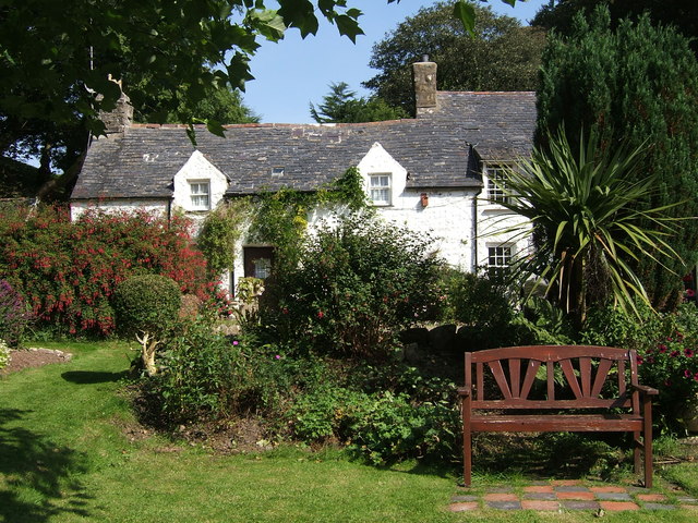
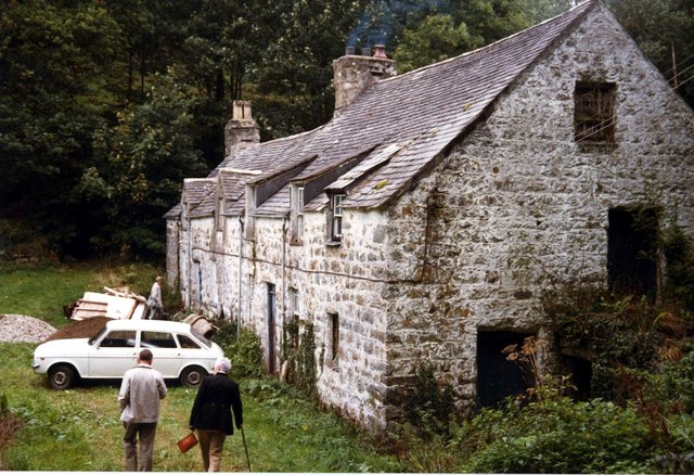
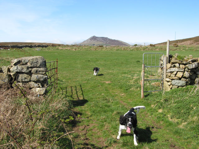
Related Wikis

Capel Newydd, Nanhoron

Capel Newydd in Nanhoron, near Llanengan, Gwynedd, is probably the oldest surviving Nonconformist chapel in North Wales. The chapel dates from 1770–1772...

Mynytho

Mynytho is a small village in the parish of Llanengan near the southern coast of the Llŷn Peninsula in northwestern Wales. It consists of a few houses...

Llandegwning

Llandegwning is a village and former civil parish in the Welsh county of Gwynedd. The parish was abolished in 1934, and incorporated into Botwnnog....

Botwnnog

Botwnnog is a village and community in Gwynedd in Wales, located on the Llŷn Peninsula 6 km (4 mi) west-north-west of Abersoch. It is in the historic county...

Llaniestyn, Gwynedd

Llaniestyn is a village and former civil parish in the Welsh county of Gwynedd. The parish was abolished in 1934, and divided between Tudweiliog and Botwnnog...

Llangian

Llangian is a small village and former civil parish on the Llŷn Peninsula in the Welsh county of Gwynedd. It is located 1 mile (1.6 km) north west of...

Llanfihangel Bachellaeth

Llanfihangel Bachellaeth is a former civil parish in the Welsh county of Gwynedd. It was abolished in 1934, and incorporated into Buan. == References ==

Carn Fadryn

Carn Fadryn, sometimes Carn Fadrun or Garn Fadryn, is a five-hectare Iron Age hillfort and is the name of the mountain on which the fort is situated. It...

Nearby Amenities

Located within 500m of 52.853969,-4.5474767
Place Of Worship
Lat/Long: 52.8552602/-4.5458533
Nanhoron
Place: hamlet
Source: NPE
Lat/Long: 52.8536851/-4.5533196
The data included in this document is from www.openstreetmap.org. The data is made available under ODbL.

Have you been to Coed Rhôs-gwerthyr?

Leave your review of Coed Rhôs-gwerthyr below (or comments, questions and feedback).