Burgh next Aylsham

Settlement in Norfolk Broadland

England

Burgh next Aylsham

Haflinger horses at King's Beck along the River Bure See more here > <a title="https://www.geograph.org.uk/photo/1127152" href="https://www.geograph.org.uk/photo/1127152">Link</a>
Haflinger horses at King's Beck along the River Bure Credit: Adrian S Pye

Burgh next Aylsham is a small village located in the county of Norfolk, England. Situated approximately 10 miles north of Norwich, it falls within the Broadland district.

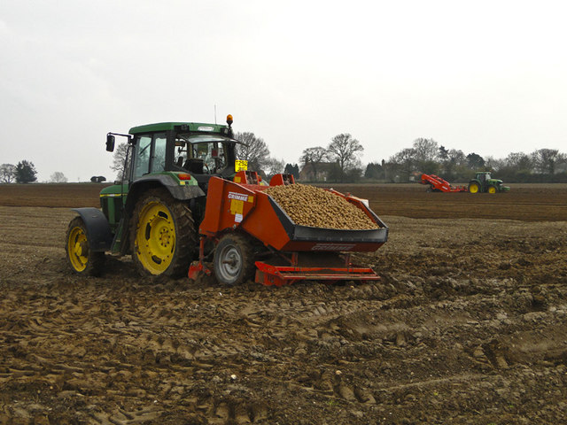
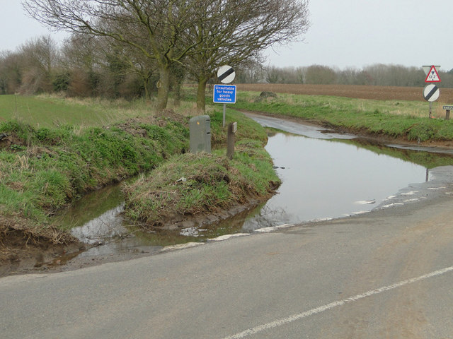
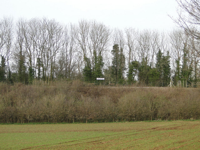
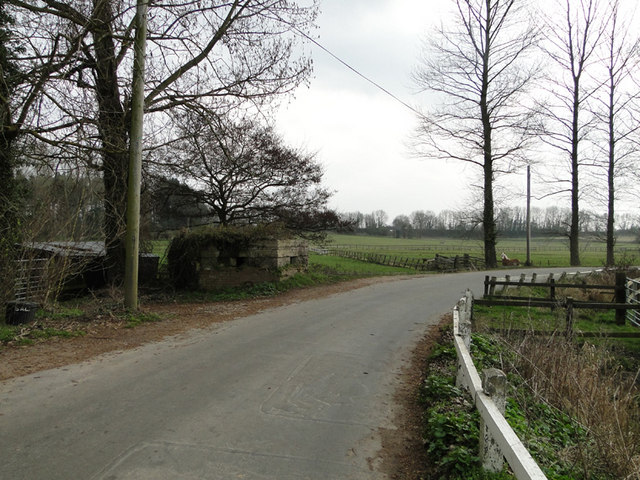
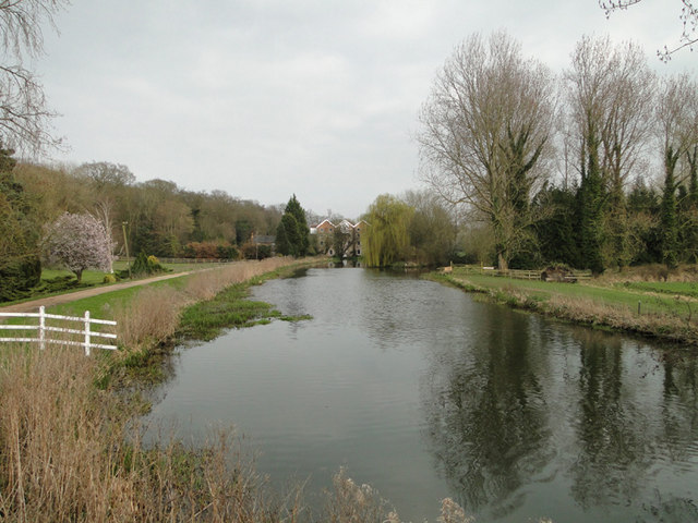
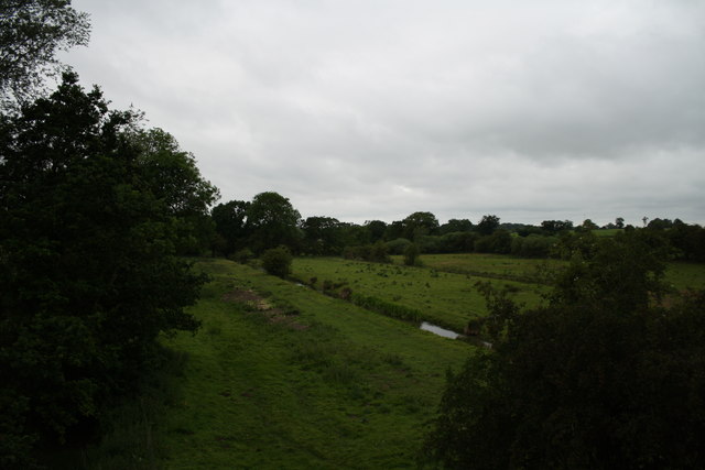
The village is surrounded by picturesque countryside, characterized by rolling hills and expansive fields, making it an attractive destination for nature enthusiasts and those seeking a peaceful retreat. The River Bure flows nearby, adding to the charm of the area.

Although Burgh next Aylsham is a small village, it boasts a rich history. It is believed to have been settled since Roman times, with evidence of Roman pottery and coins discovered in the area. In the Domesday Book of 1086, the village is recorded as having a church and a population of around 50 people.

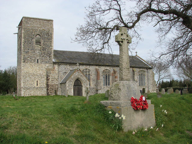
Today, the village is primarily residential, with a tight-knit community. It features a parish church, St. Mary's, which dates back to the 14th century and is known for its beautiful stained glass windows. The church serves as a focal point for the community and hosts regular services and events.

Burgh next Aylsham is well-connected to surrounding areas by road, with the A140 passing nearby, providing easy access to Norwich and other nearby towns. The village also benefits from a range of amenities, including a village hall, a primary school, and a local pub, providing essential services for residents.

Overall, Burgh next Aylsham offers a tranquil and historic setting, making it an ideal place to live for those seeking a rural lifestyle within easy reach of urban conveniences.

If you have any feedback on the listing, please let us know in the comments section below.

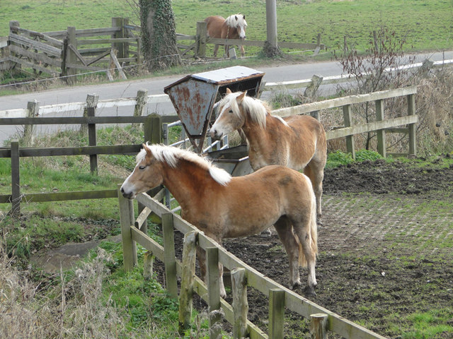
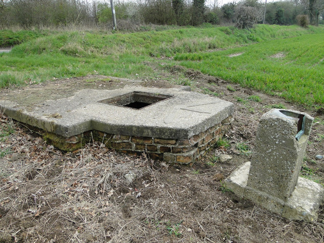
Burgh next Aylsham Images

Images are sourced within 2km of 52.779534/1.291732 or Grid Reference TG2225. Thanks to Geograph Open Source API. All images are credited.

Haflinger horses at King's Beck along the River Bure See more here > <a title="https://www.geograph.org.uk/photo/1127152" href="https://www.geograph.org.uk/photo/1127152">Link</a>
Haflinger horses at King's Beck along the River Bure
See more here > Link
Manhole for an irrigation pump On the concrete pad is the plan for the irrigation outlets which can be seen here > <a href="https://www.geograph.org.uk/photo/2329748">TG2123 : Plan of irrigation outlets cemented onto the top of the pump</a>
Manhole for an irrigation pump
On the concrete pad is the plan for the irrigation outlets which can be seen here > TG2123 : Plan of irrigation outlets cemented onto the top of the pump
Plan of irrigation outlets cemented onto the top of the pump For a full view goto > <a title="https://www.geograph.org.uk/photo/2329742" href="https://www.geograph.org.uk/photo/2329742">Link</a>
Plan of irrigation outlets cemented onto the top of the pump
For a full view goto > Link
Irrigation manhole on the edge of the field See also <a href="https://www.geograph.org.uk/photo/2329748">TG2123 : Plan of irrigation outlets cemented onto the top of the pump</a>
Irrigation manhole on the edge of the field
Potato planting at Oxnead The hopper on the tractor is full of potatoes ready for planting while the tractor in the background is putting a fine tilth on the soil and creating the rows.
Potato planting at Oxnead
The hopper on the tractor is full of potatoes ready for planting while the tractor in the background is putting a fine tilth on the soil and creating the rows.
Flooded road near Brampton station
Brampton Station from the road The station is built on an embankment and the road passes beneath the line nearby.
Brampton Station from the road
The station is built on an embankment and the road passes beneath the line nearby.
Roadsigns near Brampton Station... ...the line of which can be seen in the background on the left of the picture.
Roadsigns near Brampton Station...
...the line of which can be seen in the background on the left of the picture.
Pillbox near King's Beck, Oxnead
River Bure at King's Beck, Oxnead.. ...with the watermill in the background.
River Bure at King's Beck, Oxnead..
...with the watermill in the background.
Bure Valley Railway level crossing This level crossing is near Spratt's Green and is seen from a train heading towards Wroxham.
Bure Valley Railway level crossing
This level crossing is near Spratt's Green and is seen from a train heading towards Wroxham.
The Mermaid This is a view of the stream shown on the map as The Mermaid from a Bure Valley Railway train.
The Mermaid
This is a view of the stream shown on the map as The Mermaid from a Bure Valley Railway train.
Bure Valley Railway and Bure Valley Path The railway and path cross a bridge over a minor road connecting Buxton with Brampton.
Bure Valley Railway and Bure Valley Path
The railway and path cross a bridge over a minor road connecting Buxton with Brampton.
Bure Valley Railway passing loop This passing loop is on the Buxton side of Brampton station. On the right is the Bure Valley Path.
Bure Valley Railway passing loop
This passing loop is on the Buxton side of Brampton station. On the right is the Bure Valley Path.
Bure Valley Railway passing loop The passing loop near Brampton station is seen from a BVR train heading towards Aylsham. On the right is the Bure Valley Path.
Bure Valley Railway passing loop
The passing loop near Brampton station is seen from a BVR train heading towards Aylsham. On the right is the Bure Valley Path.
"It does exactly what it says on the tin" Seen from an Aylsham-bound Bure Valley Railway train already waiting in the passing loop, a Wroxham-bound BVR train proceeds along the other track. The Bure Valley Path can also be seen.
"It does exactly what it says on the tin"
Seen from an Aylsham-bound Bure Valley Railway train already waiting in the passing loop, a Wroxham-bound BVR train proceeds along the other track. The Bure Valley Path can also be seen.
Leaving the passing loop A Bure Valley Railway train leaves the passing loop near Brampton station on its way to Aylsham. On the right is the Bure Valley Path.
Leaving the passing loop
A Bure Valley Railway train leaves the passing loop near Brampton station on its way to Aylsham. On the right is the Bure Valley Path.
Bure Valley Railway and Bure Valley Path Here the railway and path cross over the road connecting Brampton with the Buxton-Aylsham road.
Bure Valley Railway and Bure Valley Path
Here the railway and path cross over the road connecting Brampton with the Buxton-Aylsham road.
Show me another place!

Burgh next Aylsham is located at Grid Ref: TG2225 (Lat: 52.779534, Lng: 1.291732)

Administrative County: Norfolk

District: Broadland

Police Authority: Norfolk

What 3 Words

///segmented.allies.sensitive. Near Buxton, Norfolk

Related Wikis

Burgh and Tuttington

Burgh and Tuttington is a civil parish in the English county of Norfolk. It covers an area of 6.70 km2 (2.59 sq mi) and had a population of 255 in 115...

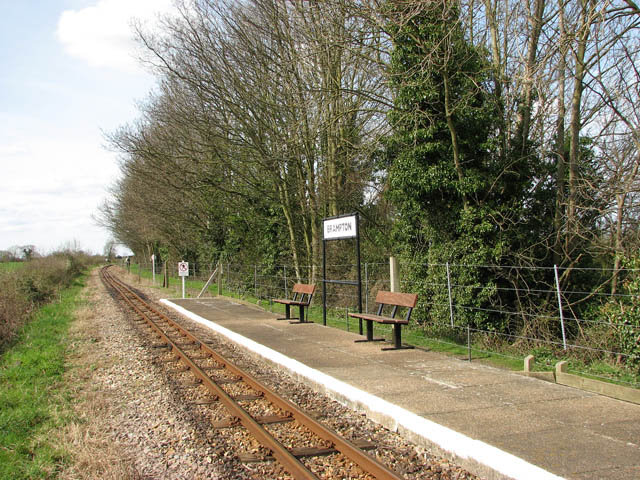
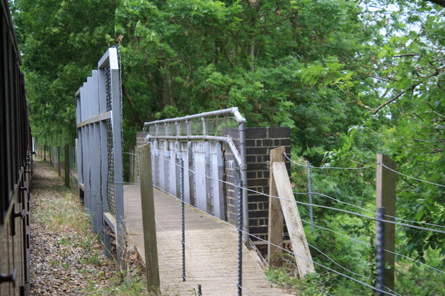
Brampton railway station (Norfolk)

Brampton railway station serves the village of Brampton in Norfolk and is operated by the Bure Valley Railway, a narrow gauge heritage railway operation...

Oxnead

Oxnead is a lost settlement and former civil parish, now in the parish of Brampton, in the Broadland district, in the county of Norfolk, England. It is...

Skeyton

Skeyton is a small village and civil parish in the English county of Norfolk. The village and parish of Skeyton had in the 2001 census a population of...

Nearby Amenities

Located within 500m of 52.779534,1.291732
Entrance: main
Lat/Long: 52.7775159/1.2865979
Bench
Backrest: yes
Inscription: yes
Material: wood
Seats: 2
Lat/Long: 52.7774153/1.2866385
Waterway: weir
Lat/Long: 52.7764083/1.2932659
Barrier: stile
Lat/Long: 52.7761666/1.2932315
Bus Stop
memorial, adj
Naptan AtcoCode: 2900A212
Naptan Bearing: E
Naptan CommonName: memorial
Naptan Indicator: adj
Naptan Landmark: Church Lane
Naptan Locality: Burgh next Aylsham
Naptan NaptanCode: nfoadmgj
Naptan ShortCommonName: memorial
Naptan Street: The Street
Naptan Verified: no
Source: naptan_import
Lat/Long: 52.7791568/1.2868547
memorial, opp
Naptan AtcoCode: 2900A2122
Naptan Bearing: N
Naptan BusStopType: CUS
Naptan CommonName: memorial
Naptan Indicator: opp
Naptan Landmark: The Street
Naptan Locality: Burgh next Aylsham
Naptan NaptanCode: nfoadmgm
Naptan ShortCommonName: memorial
Naptan Street: Church Lane
Naptan Verified: no
Source: naptan_import
Lat/Long: 52.7790975/1.2867664
Burgh next Aylsham
Place: hamlet
Lat/Long: 52.7787941/1.2881614
War Memorial
Historic: memorial
Inscription: To the Men of this Parish Who Fell in the Great War 1914 1918 (Three mens names engraved).
Website: https://www.flickr.com/photos/43688219@N00/5918218796
Lat/Long: 52.7791804/1.2868434
Bench
Backrest: yes
Colour: brown
Material: wood
Seats: 3
Lat/Long: 52.7779761/1.2862714
Defibrillator
Access: yes
Defibrillator Location: On wall, external to village hall entrance
Emergency: defibrillator
Operator: Community Heartbeat
Ref: CHT-14-1206
Wheelchair: yes
Lat/Long: 52.7779112/1.2863298
Barrier: block
Historic: ruins
Material: concrete
Military: tank_trap
Lat/Long: 52.7800224/1.2845119
Barrier: block
Historic: ruins
Material: concrete
Military: tank_trap
Lat/Long: 52.7801068/1.2844911
Barrier: block
Historic: ruins
Material: concrete
Military: tank_trap
Lat/Long: 52.7801259/1.2844636
Barrier: block
Historic: ruins
Material: concrete
Military: tank_trap
Lat/Long: 52.7801466/1.2844301
Board Type: local_notice
Information: board
Tourism: information
Lat/Long: 52.77912/1.2871428
Post Box
Operator: Royal Mail
Post Box Mounting: pier
Post Box Type: lamp
Royal Cypher: EIIR
Royal Cypher Wikidata: Q33102113
Lat/Long: 52.7791313/1.2871458
Bench
Burgh
Backrest: yes
Inscription: EIIR / 1952 / 1977 / E II R / 1953
Material: wood
Seats: 2
Lat/Long: 52.7791279/1.2871747
Burgh next Aylsham
Man Made: village_sign
Material: wood
Lat/Long: 52.7791275/1.2871968
Entrance: yes
Lat/Long: 52.7774177/1.2866137
Turning Loop
Lat/Long: 52.7783446/1.2911447
Grit Bin
Access: yes
Material: plastic
Operator: Broadland District Council
Lat/Long: 52.7778396/1.2863092
The data included in this document is from www.openstreetmap.org. The data is made available under ODbL.

Have you been to Burgh next Aylsham?

Leave your review of Burgh next Aylsham below (or comments, questions and feedback).