Aller Grove

Settlement in Devon East Devon

England

Aller Grove

St Mary's Church in Whimple A view of the front of St Mary's Church in Whimple, Devon.
St Mary's Church in Whimple Credit: John P Reeves

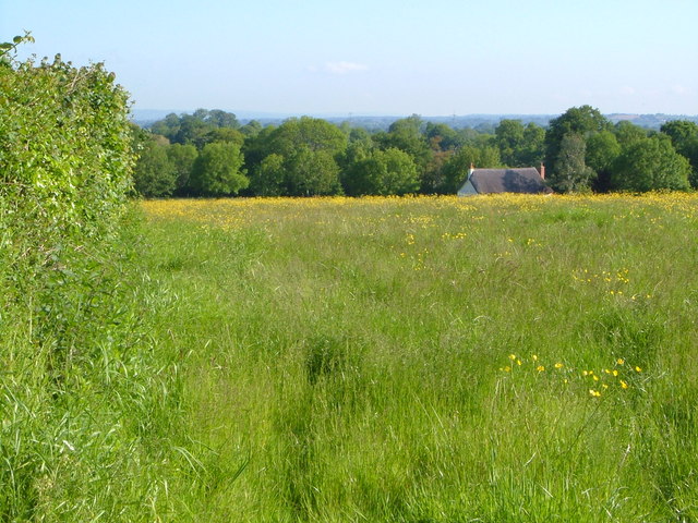
Aller Grove is a small village located in the South Hams district of Devon, England. Situated in the southwestern part of the county, it lies approximately 8 miles north of the coastal town of Salcombe and 4 miles east of the market town of Kingsbridge. The village is nestled in a picturesque rural setting, surrounded by rolling hills, lush green fields, and woodland areas.

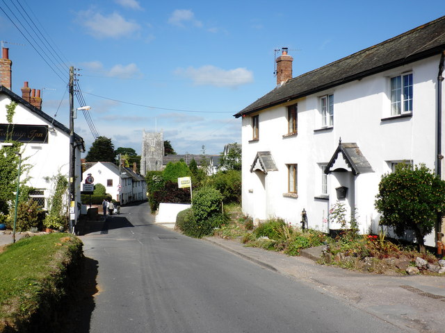
Aller Grove is known for its tranquil and unspoiled atmosphere, making it a popular destination for those seeking a peaceful retreat from the hustle and bustle of city life. The village is characterized by its charming thatched cottages, traditional stone buildings, and narrow lanes, which add to its quaint and idyllic appeal.

Although small in size, Aller Grove boasts a close-knit community and a strong sense of community spirit. The village has a local pub, which serves as a social hub for residents and visitors alike. Additionally, there is a community hall that hosts various events and activities throughout the year, fostering a sense of togetherness among the villagers.

The surrounding countryside offers ample opportunities for outdoor enthusiasts, with numerous walking and cycling routes crisscrossing the area. The nearby Kingsbridge Estuary provides a haven for water sports enthusiasts, offering activities such as sailing, kayaking, and paddleboarding.

Overall, Aller Grove is a charming and tranquil village that offers a peaceful escape in the heart of the beautiful Devon countryside.

If you have any feedback on the listing, please let us know in the comments section below.
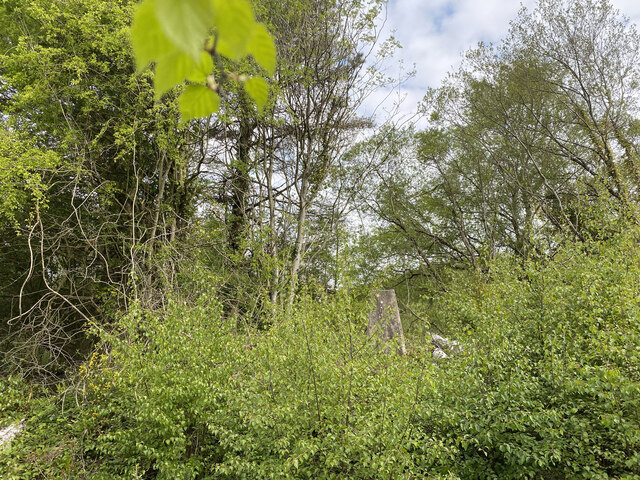
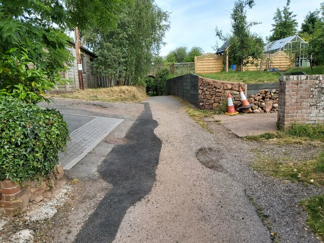
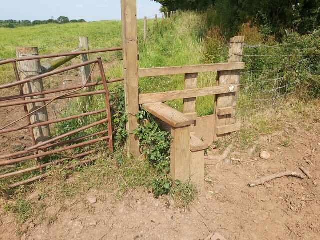
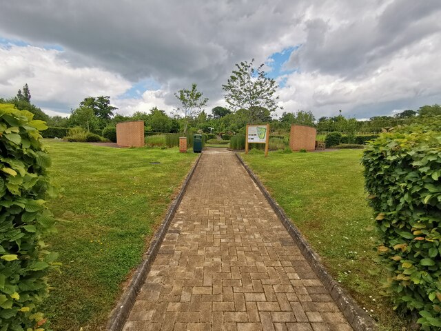
Aller Grove Images

Images are sourced within 2km of 50.755795/-3.3481562 or Grid Reference SY0596. Thanks to Geograph Open Source API. All images are credited.

St Mary's Church in Whimple A view of the front of St Mary's Church in Whimple, Devon.
St Mary's Church in Whimple
A view of the front of St Mary's Church in Whimple, Devon.
Rockbeare Hill New Trig Point Flush Bracket S5507
Footpath between Houses A public footpath between residential houses in Whimple in Devon. The access drive to Forge Cottage is on the left.
Footpath between Houses
A public footpath between residential houses in Whimple in Devon. The access drive to Forge Cottage is on the left.
Railway Bridge over a Footpath A view of the railway bridge over a public footpath in Whimple in Devon. The railway is the main line running between Exeter and Salisbury.
Railway Bridge over a Footpath
A view of the railway bridge over a public footpath in Whimple in Devon. The railway is the main line running between Exeter and Salisbury.
Stile on a Public Footpath A stile in the corner of a field on a public footpath that runs north west of Whimple in Devon in an area called The Green.
Stile on a Public Footpath
A stile in the corner of a field on a public footpath that runs north west of Whimple in Devon in an area called The Green.
Village Sign The village sign of Whimple in Devon sitting next to the country lane that runs between Knowle Cross and Whimple.
Village Sign
The village sign of Whimple in Devon sitting next to the country lane that runs between Knowle Cross and Whimple.
Metal Farm Gate A country lane behind a metal gate situated on a public footpath running between Whimple and Hitts Farm in Devon.
Metal Farm Gate
A country lane behind a metal gate situated on a public footpath running between Whimple and Hitts Farm in Devon.
Whimple :  East Devon Crematorium Looking across the car park of East Devon Crematorium.
Whimple : East Devon Crematorium
Looking across the car park of East Devon Crematorium.
Whimple :  East Devon Crematorium A wildlife and memorial garden in the crematorium grounds.
Whimple : East Devon Crematorium
A wildlife and memorial garden in the crematorium grounds.
Whimple :  East Devon Crematorium A road heading through the crematorium.
Whimple : East Devon Crematorium
A road heading through the crematorium.
Whimple :  East Devon Crematorium Only Fools and Hearses and a Reliant Robin to bring in the coffin based on the popular BBC comedy Only Fools and Horses.
Whimple : East Devon Crematorium
Only Fools and Hearses and a Reliant Robin to bring in the coffin based on the popular BBC comedy Only Fools and Horses.
Country Lane A country lane between Whimple and Larkbeare Court in Devon.
Country Lane
A country lane between Whimple and Larkbeare Court in Devon.
Country Lane A country lane between Whimple and Hitts Farm in Devon.
Country Lane
A country lane between Whimple and Hitts Farm in Devon.
Pedestrian bridge at Daisymount junction
Slip road joining at Daisymount junction
A30 west near Solar Farm
Footbridge over the A30 The A30 is 284 miles long, from central London to Land's End, historically known as the Great South West Road. The M3 and A303 now are the preferred route for most travellers. Only part of the road is still a trunk road.
Wikipedia: <span class="nowrap"><a title="http://en.wikipedia.org/wiki/A30_road" rel="nofollow ugc noopener" href="http://en.wikipedia.org/wiki/A30_road">Link</a><img style="margin-left:2px;" alt="External link" title="External link - shift click to open in new window" src="https://s1.geograph.org.uk/img/external.png" width="10" height="10"/></span>
Footbridge over the A30
The A30 is 284 miles long, from central London to Land's End, historically known as the Great South West Road. The M3 and A303 now are the preferred route for most travellers. Only part of the road is still a trunk road. Wikipedia: LinkExternal link
Show me another place!

Aller Grove is located at Grid Ref: SY0596 (Lat: 50.755795, Lng: -3.3481562)

Administrative County: Devon

District: East Devon

Police Authority: Devon and Cornwall

What 3 Words

///decency.range.polygraph. Near Whimple, Devon

Nearby Locations

Aller Grove

Related Wikis

Aller Grove

Aller Grove is a village in Devon, England. == References ==

Whimple

Whimple is a village and civil parish in East Devon in the...

Whimple railway station

Whimple railway station serves the village of Whimple in...

Marsh Green, Devon

Marsh Green is a small village about 8 miles east of Exeter...

Rockbeare

Rockbeare is a village and civil parish in the East Devon...

West Hill, Devon

West Hill is a village in the East Devon district of Devon...

Allercombe

Allercombe is a hamlet in east Devon, England. It lies just...

Belbury Castle

Belbury Castle is the name given to an Iron Age earthwork...

Nearby Amenities

Located within 500m of 50.755795,-3.3481562
Give Way
Direction: forward
Lat/Long: 50.7554947/-3.3495927
Bus Stop
Bus: yes
Public Transport: platform
Lat/Long: 50.7551528/-3.3541146
Bus Stop
Bus: yes
Public Transport: platform
Lat/Long: 50.7551212/-3.3537251
Give Way
Direction: backward
Lat/Long: 50.7549997/-3.3544177
Give Way
Direction: forward
Lat/Long: 50.7549022/-3.3544456
Direction: forward
Maxspeed: 40 mph
Maxspeed Type: GB:nsl_restricted
Source Maxspeed: sign
Traffic Sign: maxspeed
Lat/Long: 50.7548766/-3.3544363
Direction: forward
Maxspeed: 40 mph
Maxspeed Type: GB:nsl_restricted
Source Maxspeed: sign
Traffic Sign: maxspeed
Lat/Long: 50.7550531/-3.3471112
Bus: yes
Direction: both
Operator: Stagecoach South West;Hatch Green Coaches;Hamilton Grays
Public Transport: stop_position
Ref: 4;4B;382;COLY1
Lat/Long: 50.7544685/-3.3431697
Bus Stop
Crematorium SE-bound
Bench: no
Bin: no
Operator: Stagecoach South West;Hatch Green Coaches;Hamilton Grays
Ref: 4;4B;382;COLY1
Shelter: no
Lat/Long: 50.7544872/-3.3430235
Bus Stop
Crematorium NW-bound
Bench: no
Bin: no
Operator: Stagecoach South West;Hatch Green Coaches;Hamilton Grays
Ref: 4;4B;382;COLY1
Shelter: no
Lat/Long: 50.7544626/-3.3434983
Give Way
Direction: backward
Lat/Long: 50.7545024/-3.3438966
Traffic Calming: island
Lat/Long: 50.7544778/-3.3432475
Access: private
Door: sliding
Door Type: double
Entrance: main
Lat/Long: 50.7558722/-3.3428948
Access: private
Door: hinged
Door Type: double
Entrance: yes
Lat/Long: 50.7559473/-3.3421077
Access: private
Covered: yes
Door: hinged
Door Type: double
Entrance: main
Lat/Long: 50.7556736/-3.3417974
Access: private
Door: sliding
Door Type: single
Entrance: yes
Lat/Long: 50.756055/-3.3416094
Access: private
Door: overhead
Entrance: yes
Motorcar: private
Lat/Long: 50.7562562/-3.3416553
Access: private
Door: overhead
Entrance: yes
Motorcar: private
Lat/Long: 50.7562347/-3.3416504
Access: private
Door: overhead
Entrance: yes
Motorcar: private
Lat/Long: 50.7561704/-3.3416357
Access: private
Door: overhead
Entrance: yes
Motorcar: private
Lat/Long: 50.7562133/-3.3416455
Access: private
Door: overhead
Entrance: yes
Motorcar: private
Lat/Long: 50.7561918/-3.3416406
Access: private
Door: overhead
Entrance: yes
Motorcar: private
Lat/Long: 50.7561489/-3.3416308
Access: private
Door: overhead
Entrance: yes
Motorcar: private
Lat/Long: 50.756109/-3.341849
Access: private
Door: hinged
Door Type: double
Entrance: yes
Lat/Long: 50.7558032/-3.341674
Access: private
Door: overhead
Entrance: yes
Motorcar: private
Lat/Long: 50.7561651/-3.3418618
Access: private
Door: overhead
Entrance: yes
Motorcar: private
Lat/Long: 50.7561464/-3.3418575
Access: private
Door: overhead
Entrance: yes
Motorcar: private
Lat/Long: 50.7561277/-3.3418532
Access: private
Door: sliding
Door Type: single
Entrance: yes
Lat/Long: 50.7560346/-3.341832
Fountain
Drinking Water: no
Lat/Long: 50.7554425/-3.3423704
Life Ring
Emergency: life_ring
Lat/Long: 50.7555698/-3.3423265
Give Way
Direction: forward
Lat/Long: 50.7554383/-3.3497733
Traffic Calming: rumble_strip
Lat/Long: 50.755686/-3.3497465
Give Way
Direction: forward
Lat/Long: 50.7555731/-3.3497145
Street Lamp
Lamp Mount: bent_mast
Lamp Type: electric
Lat/Long: 50.7550081/-3.3535673
Street Lamp
Lamp Mount: bent_mast
Lamp Type: electric
Lat/Long: 50.754869/-3.3545087
Access: private
Door: hinged
Door Type: double
Entrance: yes
Lat/Long: 50.7558948/-3.3419136
Access: private
Door: hinged
Door Type: double
Entrance: yes
Lat/Long: 50.7558058/-3.3418933
Access: private
Door: hinged
Door Type: double
Entrance: yes
Lat/Long: 50.7557055/-3.3420375
Access: private
Door: sliding
Door Type: double
Entrance: yes
Lat/Long: 50.7558686/-3.3415508
Access: private
Door: sliding
Door Type: double
Entrance: yes
Lat/Long: 50.7559083/-3.3415598
Access: private
Door: sliding
Door Type: double
Entrance: yes
Lat/Long: 50.755948/-3.3415689
Generator Method: photovoltaic
Generator Output Electricity: yes
Generator Source: solar
Generator Type: solar_photovoltaic_panel
Location: roof
Power: generator
Source: Bing
Lat/Long: 50.7560839/-3.3474129
Generator Method: photovoltaic
Generator Output Electricity: yes
Generator Source: solar
Generator Type: solar_photovoltaic_panel
Location: roof
Power: generator
Source: Bing
Lat/Long: 50.755725/-3.3493455
Generator Method: photovoltaic
Generator Output Electricity: yes
Generator Source: solar
Generator Type: solar_photovoltaic_panel
Location: roof
Power: generator
Source: Bing
Lat/Long: 50.7557802/-3.3540984
Generator Method: photovoltaic
Generator Output Electricity: yes
Generator Source: solar
Generator Type: solar_photovoltaic_panel
Location: roof
Power: generator
Source: Bing
Lat/Long: 50.7556631/-3.3535834
Generator Method: photovoltaic
Generator Output Electricity: yes
Generator Source: solar
Generator Type: solar_photovoltaic_panel
Location: roof
Power: generator
Source: Bing
Lat/Long: 50.7556843/-3.3536679
Generator Method: photovoltaic
Generator Output Electricity: yes
Generator Source: solar
Generator Type: solar_photovoltaic_panel
Location: roof
Power: generator
Source: Bing
Lat/Long: 50.7555324/-3.3536196
Generator Method: photovoltaic
Generator Output Electricity: yes
Generator Source: solar
Generator Type: solar_photovoltaic_panel
Location: roof
Power: generator
Source: Bing
Lat/Long: 50.7552474/-3.3539388
Generator Method: photovoltaic
Generator Output Electricity: yes
Generator Source: solar
Generator Type: solar_photovoltaic_panel
Location: roof
Power: generator
Source: Bing
Lat/Long: 50.7552533/-3.3537094
The data included in this document is from www.openstreetmap.org. The data is made available under ODbL.

Have you been to Aller Grove?

Leave your review of Aller Grove below (or comments, questions and feedback).