Aller

Settlement in Devon Teignbridge

England

Aller

Alpaca eggs? The sign on the waymark post reads:
"Alpaca Antics: Free Range Eggs, Best In The Valley!! £1.20 ½ dozen - Follow Main Track Down To Our Farm". You can see some of the alpacas in <a href="https://www.geograph.org.uk/photo/6812855">SX8970 : Alpacas, Haccombe</a>.
Alpaca eggs? Credit: Derek Harper

Aller is a small village located in the South Hams district of Devon, England. Situated approximately 4 miles north of Totnes, it is nestled in the picturesque countryside of the South Hams region. The village is surrounded by rolling hills and lush green fields, offering a tranquil and idyllic setting.

Aller is known for its charming rural character and traditional architecture. The village consists of a collection of stone cottages, some of which date back several hundred years. The local church, St. Andrew's, is a prominent landmark and features a beautiful medieval tower.

The village is home to a close-knit community, with a small population of residents. There are limited amenities within Aller, with no shops or pubs, but neighboring towns and villages provide easy access to essential services and amenities. The nearby town of Totnes offers a wider range of facilities, including shops, restaurants, and recreational activities.

One of the main attractions in Aller is the Aller Court Gardens, a stunning private garden open to the public. The gardens boast a diverse range of plants and flowers, as well as a tranquil pond and charming pathways. It is a popular spot for locals and visitors alike to enjoy a peaceful walk and take in the scenic beauty.

Overall, Aller is a quaint and picturesque village that provides a peaceful retreat from the hustle and bustle of city life. It offers a glimpse into rural Devon life, with its stunning countryside, traditional architecture, and strong sense of community.

If you have any feedback on the listing, please let us know in the comments section below.
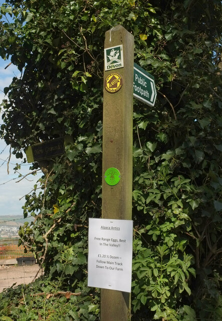
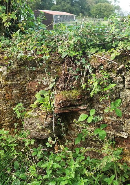
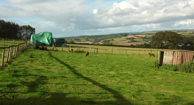
Aller Images

Images are sourced within 2km of 50.509043/-3.583747 or Grid Reference SX8768. Thanks to Geograph Open Source API. All images are credited.

Alpaca eggs? The sign on the waymark post reads:
"Alpaca Antics: Free Range Eggs, Best In The Valley!! £1.20 ½ dozen - Follow Main Track Down To Our Farm". You can see some of the alpacas in <a href="https://www.geograph.org.uk/photo/6812855">SX8970 : Alpacas, Haccombe</a>.
Alpaca eggs?
The sign on the waymark post reads: "Alpaca Antics: Free Range Eggs, Best In The Valley!! £1.20 ½ dozen - Follow Main Track Down To Our Farm". You can see some of the alpacas in SX8970 : Alpacas, Haccombe.
Old stone stile near The Round House The weathered steps of a wall stile beside the John Musgrave Heritage Trail.
Old stone stile near The Round House
The weathered steps of a wall stile beside the John Musgrave Heritage Trail.
Fields near The Round House Sheep and protected stuff seen from the John Musgrave Heritage Trail. The former mobile home seen in <a href="https://www.geograph.org.uk/photo/1300118">SX8870 : Former mobile home near The Round House</a> has probably long since gone.
Fields near The Round House
Sheep and protected stuff seen from the John Musgrave Heritage Trail. The former mobile home seen in SX8870 : Former mobile home near The Round House has probably long since gone.
Newton Abbot : Moorland View Looking along Moorland View.
Newton Abbot : Moorland View
Looking along Moorland View.
Newton Abbot : Tor View Avenue Looking along Tor View Avenue.
Newton Abbot : Tor View Avenue
Looking along Tor View Avenue.
Newton Abbot : Shaldon Road Methodist Church A church at the end of Moorlands Close.
Newton Abbot : Shaldon Road Methodist Church
A church at the end of Moorlands Close.
Newton Abbot : Footpath A footpath off Shaldon Road.
Newton Abbot : Footpath
A footpath off Shaldon Road.
Newton Abbot : Milber MOT & Service Centre Looking towards the service centre on Shaldon Road.
Newton Abbot : Milber MOT & Service Centre
Looking towards the service centre on Shaldon Road.
Newton Abbot : Milber MOT & Service Centre Looking towards a car wash.
Newton Abbot : Milber MOT & Service Centre
Looking towards a car wash.
Newton Abbot : Shaldon Road A footpath alongside Shaldon Road.
Newton Abbot : Shaldon Road
A footpath alongside Shaldon Road.
Newton Abbot : Shaldon Road Looking along the road.
Newton Abbot : Shaldon Road
Looking along the road.
Newton Abbot : Penn Inn Roundabout An underpass at the roundabout.
Newton Abbot : Penn Inn Roundabout
An underpass at the roundabout.
Newton Abbot : Flats Flats in Newton Abbot.
Newton Abbot : Flats
Flats in Newton Abbot.
Newton Abbot : Penn Inn Close A small road.
Newton Abbot : Penn Inn Close
A small road.
Barn, Haccombe Also shown in <a href="https://www.geograph.org.uk/photo/1632787">SX8970 : Barn and valley, Haccombe</a>.
Barn, Haccombe
Long Lane Further along the extremely bumpy lane shown in <a href="https://www.geograph.org.uk/photo/1101741">SX8870 : Long Lane</a>.
Long Lane
Further along the extremely bumpy lane shown in SX8870 : Long Lane.
Barn by Long Lane A detail of <a href="https://www.geograph.org.uk/photo/7114412">SX8870 : Long Lane</a>.
Barn by Long Lane
A detail of SX8870 : Long Lane.
Trees and field by Long Lane Looking left from <a href="https://www.geograph.org.uk/photo/7114412">SX8870 : Long Lane</a>.
Trees and field by Long Lane
Looking left from SX8870 : Long Lane.
Show me another place!

Aller is located at Grid Ref: SX8768 (Lat: 50.509043, Lng: -3.583747)

Administrative County: Devon

District: Teignbridge

Police Authority: Devon and Cornwall

What 3 Words

///chip.poet.jukebox. Near Kingskerswell, Devon

Nearby Locations

Teignwood Plantation Aller

Related Wikis

Aller Park, Devon

Aller Park (also known as Aller) was a village in Devon, England, southeast of the town of Newton Abbot. The name is shared with the Aller Brook, which joins the River Teign at Newton Abbot. Today it is a suburb of the town, within Newton Abbot civil parish.

Aller Vale Pottery

The Aller Vale Pottery was formed in 1865 on the northern edge of the village of Kingskerswell in South Devon, England on the likely site of a medieval pottery. It became well known for the creation of art pottery at the end of the 19th century and gained Royal patronage, but declined thereafter, closing on this site in about 1924. The name continued in use until 1962 related to the production of mass-produced motto ware for the tourist market.

Aller Sand Pit

Aller Sand Pit (grid reference SX880695) is a 0.22 hectare geological Site of Special Scientific Interest in Devon, notified in 1969. It is the type section for the Aller Gravel.

Buckland Athletic F.C.

Buckland Athletic Football Club is a football club based in Newton Abbot, Devon, England. They are currently members of the Western League Premier Division and play at Homers Heath. == History == The club was established in 1977 as a youth team and joined the Torbay Pioneer League.

Abbotskerswell Priory

Abbotskerswell Priory, on the outskirts of the village of Abbotskerswell, near Newton Abbot, Devon, England, was the home of a community of Augustinian nuns from 1861 until 1983. It has now been converted into apartments for retirees. == Abbotsleigh House == Abbotsleigh House was built on high ground on the outskirts of Abbotskerswell during 1847-48.

Milber Down

Milber Down is an Iron Age hill fort on the hill above the suburb of Milber, Newton Abbot in Devon, England. The fort is situated on the north-western slope of Milber Down at about 110 metres above sea level, and is bisected by the minor ridge road that leads to Barton, Torquay. One Iron Age artefact discovered there was a figurine of a stag.

Coffinswell

Coffinswell is a small village in South Devon, England, just off the A380, the busy Newton Abbot to Torquay road. It lies within Teignbridge District Council. Coffinswell has a church dedicated to Saint Bartholomew with a Norman font.

Milber

Milber is a suburban area of Newton Abbot and former civil parish, now in the parish of Newton Abbot, in the Teignbridge district of Devon, England. Much of the area comprises a housing estate at grid reference SX8770. It lies to the east of the town centre, on the opposite side of the A380 road.

Nearby Amenities

Located within 500m of 50.509043,-3.583747
Turning Circle
Lat/Long: 50.5060532/-3.5831089
Turning Circle
Lat/Long: 50.5061343/-3.5840991
Turning Circle
Lat/Long: 50.506683/-3.5807153
Cafe
Romany Jones
Lat/Long: 50.5104065/-3.5830413
Bus Stop
Bus: yes
Public Transport: platform
Shelter: yes
Lat/Long: 50.5081223/-3.5807945
Bus Stop
Bus: yes
Naptan AtcoCode: 1100DEA57127
Naptan NaptanCode: dvngpjmp
Public Transport: platform
Lat/Long: 50.5050251/-3.5811729
Motorway Junction
Lat/Long: 50.5091505/-3.5887245
Bus Stop
Bus: yes
Public Transport: platform
Shelter: yes
Lat/Long: 50.5084759/-3.5816317
Generator Method: photovoltaic
Generator Output Electricity: yes
Generator Source: solar
Generator Type: solar_photovoltaic_panel
Location: roof
Power: generator
Lat/Long: 50.5048873/-3.5822452
Generator Method: photovoltaic
Generator Output Electricity: yes
Generator Source: solar
Generator Type: solar_photovoltaic_panel
Location: roof
Power: generator
Lat/Long: 50.5055782/-3.5819716
Generator Method: photovoltaic
Generator Output Electricity: yes
Generator Source: solar
Generator Type: solar_photovoltaic_panel
Location: roof
Power: generator
Lat/Long: 50.5048839/-3.5823485
Generator Method: photovoltaic
Generator Output Electricity: yes
Generator Source: solar
Generator Type: solar_photovoltaic_panel
Location: roof
Power: generator
Lat/Long: 50.5061889/-3.5826368
Generator Method: photovoltaic
Generator Output Electricity: yes
Generator Source: solar
Generator Type: solar_photovoltaic_panel
Location: roof
Power: generator
Lat/Long: 50.5070793/-3.5807244
Generator Method: photovoltaic
Generator Output Electricity: yes
Generator Source: solar
Generator Type: solar_photovoltaic_panel
Location: roof
Power: generator
Lat/Long: 50.5070913/-3.5809443
Generator Method: photovoltaic
Generator Output Electricity: yes
Generator Source: solar
Generator Type: solar_photovoltaic_panel
Location: roof
Power: generator
Lat/Long: 50.5068968/-3.5793672
Generator Method: photovoltaic
Generator Output Electricity: yes
Generator Source: solar
Generator Type: solar_photovoltaic_panel
Location: roof
Power: generator
Lat/Long: 50.5068627/-3.5794718
Generator Method: photovoltaic
Generator Output Electricity: yes
Generator Source: solar
Generator Type: solar_photovoltaic_panel
Location: roof
Power: generator
Lat/Long: 50.5064072/-3.5787637
Generator Method: photovoltaic
Generator Output Electricity: yes
Generator Source: solar
Generator Type: solar_photovoltaic_panel
Location: roof
Power: generator
Lat/Long: 50.5072977/-3.5819716
Generator Method: photovoltaic
Generator Output Electricity: yes
Generator Source: solar
Generator Type: solar_photovoltaic_panel
Location: roof
Power: generator
Lat/Long: 50.5073011/-3.5819314
Generator Method: photovoltaic
Generator Output Electricity: yes
Generator Source: solar
Generator Type: solar_photovoltaic_panel
Location: roof
Power: generator
Lat/Long: 50.5085719/-3.5823042
Generator Method: photovoltaic
Generator Output Electricity: yes
Generator Source: solar
Generator Type: solar_photovoltaic_panel
Location: roof
Power: generator
Lat/Long: 50.5085156/-3.5829184
Generator Method: photovoltaic
Generator Output Electricity: yes
Generator Source: solar
Generator Type: solar_photovoltaic_panel
Location: roof
Power: generator
Lat/Long: 50.5084389/-3.5844795
Generator Method: photovoltaic
Generator Output Electricity: yes
Generator Source: solar
Generator Type: solar_photovoltaic_panel
Location: roof
Power: generator
Lat/Long: 50.5083945/-3.5844768
Power: pole
Lat/Long: 50.5108823/-3.5900929
Power: pole
Lat/Long: 50.5097148/-3.5906875
Post Box
Brand: Royal Mail
Brand Wikidata: Q638098
Brand Wikipedia: en:Royal Mail
Collection Times: Mo-Fr 09:00; Sa 07:00; Su off
Operator: Royal Mail
Operator Wikidata: Q638098
Post Box Design: type_b
Post Box Mounting: brick_pillar
Post Box Type: wall
Ref: TQ12 49D
Royal Cypher: EIIR
Royal Cypher Wikidata: Q33102113
Source: survey;streetlevel imagery;aerial imagery
Lat/Long: 50.5089238/-3.5824016
The data included in this document is from www.openstreetmap.org. The data is made available under ODbL.

Have you been to Aller?

Leave your review of Aller below (or comments, questions and feedback).