Allt Penwernfawr

Wood, Forest in Cardiganshire

Wales

Allt Penwernfawr

Bridge At Cenarth Falls Looking towards a little cafe which may once have been an inn
Bridge At Cenarth Falls Credit: Deborah Tilley

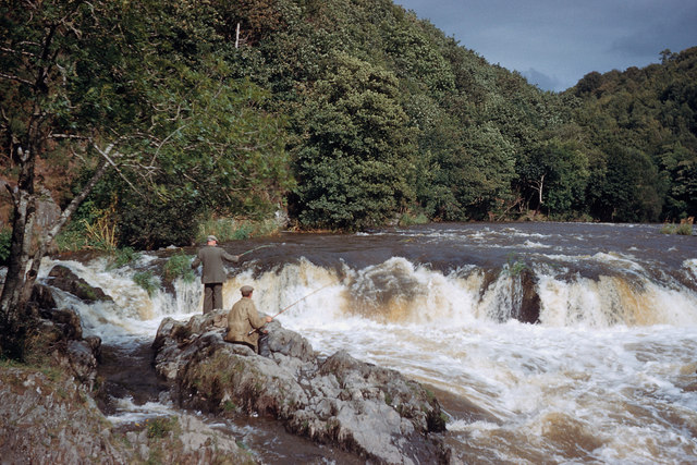
Allt Penwernfawr is a picturesque wood located in Cardiganshire, Wales. Spanning over a vast area, it is renowned for its dense forest and breathtaking natural beauty. The wood is situated at the foot of the stunning Cambrian Mountains, offering visitors a serene and peaceful environment.

Covered in a variety of trees, Allt Penwernfawr boasts a rich diversity of flora and fauna. The wood is predominantly populated with native species such as oak, beech, and chestnut trees. The vibrant colors of the foliage during autumn create a mesmerizing spectacle for all who visit.

For nature enthusiasts, Allt Penwernfawr is a paradise. The forest is home to an array of wildlife, including deer, squirrels, and numerous bird species. Birdwatchers can delight in spotting rare and migratory species that make this wood their temporary abode.

The wood offers a network of well-maintained trails, making it a popular destination for hikers and walkers. These trails wind through the forest, providing visitors with the opportunity to explore its hidden treasures. The towering trees provide a natural canopy, offering shade during hot summer days and shelter during occasional rain showers.

Allt Penwernfawr is a haven for those seeking tranquility and solitude. Its secluded location ensures a break from the hustle and bustle of everyday life. The wood provides a perfect retreat for individuals looking to connect with nature and enjoy the therapeutic benefits it offers.

In conclusion, Allt Penwernfawr in Cardiganshire is a magnificent wood that captivates visitors with its lush greenery, diverse wildlife, and serene ambiance. It is a place where one can immerse themselves in the beauty of nature and find solace in its tranquility.

If you have any feedback on the listing, please let us know in the comments section below.

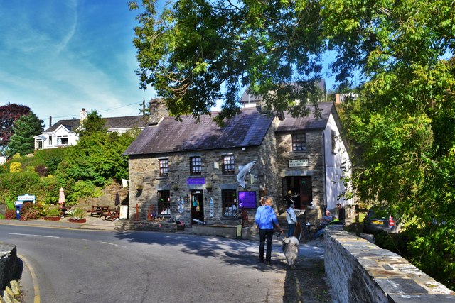
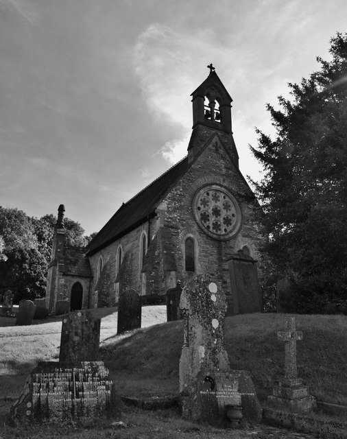
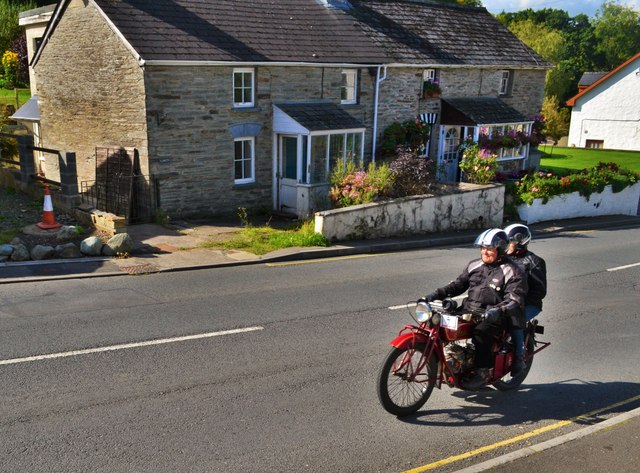
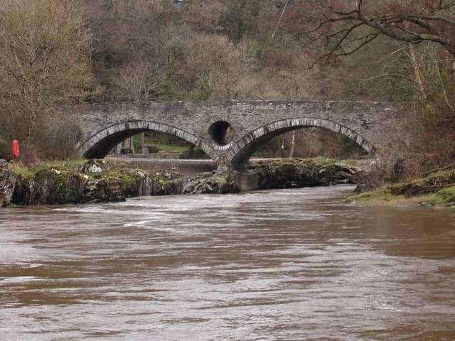
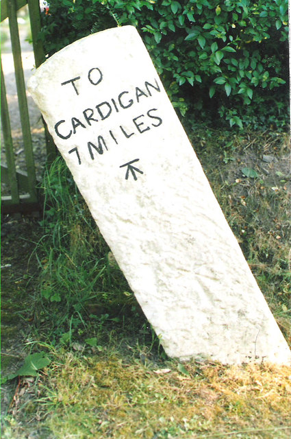
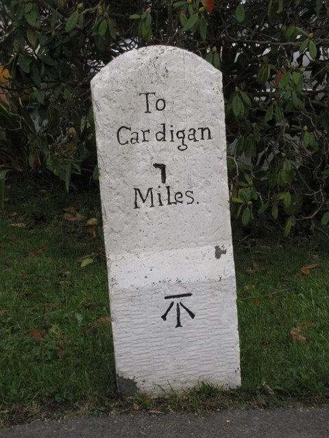
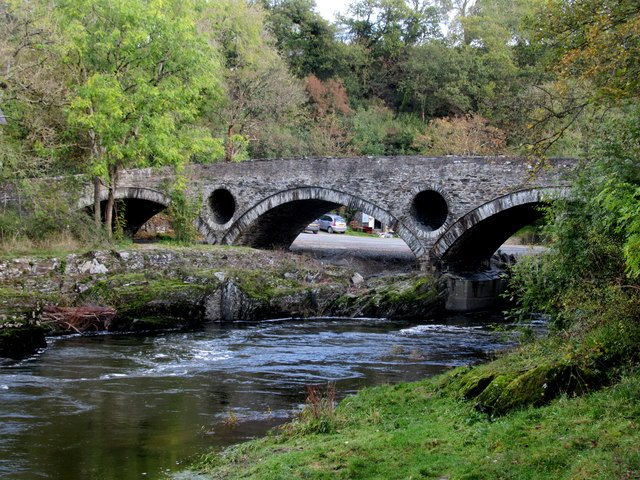
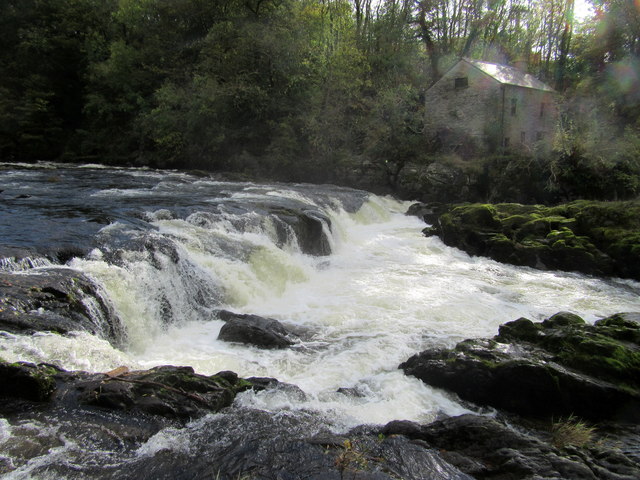
Allt Penwernfawr Images

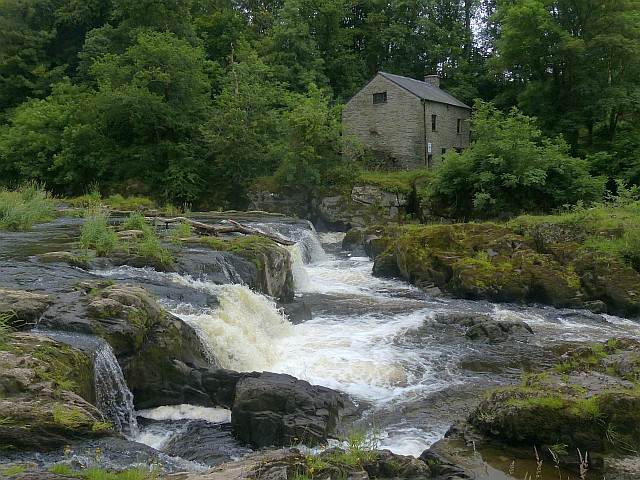
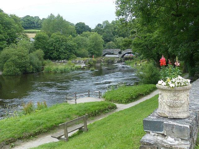
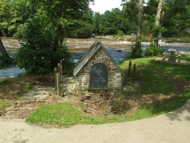
Images are sourced within 2km of 52.061092/-4.5358376 or Grid Reference SN2643. Thanks to Geograph Open Source API. All images are credited.

Bridge At Cenarth Falls Looking towards a little cafe which may once have been an inn
Bridge At Cenarth Falls
Looking towards a little cafe which may once have been an inn
Church At Cenarth  The parish church is dedicated to the local saint, St. Llawddog
Church At Cenarth
The parish church is dedicated to the local saint, St. Llawddog
Classic Motorbike At Cenarth Heading through the village towards Newcastle Emlyn
Classic Motorbike At Cenarth
Heading through the village towards Newcastle Emlyn
Afon Teifi and Cenarth Bridge
Ordnance Survey Flush Bracket (S0661) This OS Flush Bracket can be found on the SW angle of St Llawddog's Church. It marks a point 104.424ft above mean sea level.
Ordnance Survey Flush Bracket (S0661)
This OS Flush Bracket can be found on the SW angle of St Llawddog's Church. It marks a point 104.424ft above mean sea level.
Cenarth falls and water mill, River Teifi It is here that salmon and sea trout (sewin) migration up-river can be observed each year. Sea trout between June and August, and salmon in September and October.
The River Teifi is the longest river which is wholly in Wales and flows 75 miles from its source in the Cambrian mountains to its estuary at Cardigan.
The viewpoint is in Ceredigion and the far bank in Carmarthenshire; the river being the boundary between these two counties for a considerable distance.
Cenarth falls and water mill, River Teifi
It is here that salmon and sea trout (sewin) migration up-river can be observed each year. Sea trout between June and August, and salmon in September and October. The River Teifi is the longest river which is wholly in Wales and flows 75 miles from its source in the Cambrian mountains to its estuary at Cardigan. The viewpoint is in Ceredigion and the far bank in Carmarthenshire; the river being the boundary between these two counties for a considerable distance.
River Teifi at Cenarth The river here is the boundary between Carmarthenshire (near bank) and Ceredigion (far bank).

The River Teifi is the longest river which is wholly in Wales and flows 75 miles from its source in the Cambrian mountains to its estuary at Cardigan.
River Teifi at Cenarth
The river here is the boundary between Carmarthenshire (near bank) and Ceredigion (far bank). The River Teifi is the longest river which is wholly in Wales and flows 75 miles from its source in the Cambrian mountains to its estuary at Cardigan.
The holy well of Ffynnon Llawddog
Old Milestone by the B4570, south east of Capel Tygwydd Cardigan tombstone by the B4570, in parish of Beulah (Ceredigion District), by "Milestone", South East of Capel Tygwydd, in front of domestic hedge.

Inscription reads:-
TO
CARDIGAN
7 MILES
Carved bench mark below inscription.

Grade II listed by Cadw. Reference Number: 16822
<span class="nowrap"><a title="https://cadwpublic-api.azurewebsites.net/reports/listedbuilding/FullReport?lang=&id=16822" rel="nofollow ugc noopener" href="https://cadwpublic-api.azurewebsites.net/reports/listedbuilding/FullReport?lang=&id=16822">Link</a><img style="margin-left:2px;" alt="External link" title="External link - shift click to open in new window" src="https://s1.geograph.org.uk/img/external.png" width="10" height="10"/></span>

Surveyed

Milestone Society National ID: CRD_CALA07.
Old Milestone by the B4570, south east of Capel Tygwydd
Cardigan tombstone by the B4570, in parish of Beulah (Ceredigion District), by "Milestone", South East of Capel Tygwydd, in front of domestic hedge. Inscription reads:- TO CARDIGAN 7 MILES Carved bench mark below inscription. Grade II listed by Cadw. Reference Number: 16822 LinkExternal link Surveyed Milestone Society National ID: CRD_CALA07.
Old Milestone by the B4570, Nantgwgan, Beulah parish Cardigan tombstone by the B4570, in parish of Beulah (Ceredigion District), Nantgwgan, South of Ponthirwaun, on verge.

Inscription reads:-
TO
CARDIGAN
6 MILES
Carved bench mark middle face.

Grade II listed by Cadw.
Reference Number: 17974 <span class="nowrap"><a title="https://cadwpublic-api.azurewebsites.net/reports/listedbuilding/FullReport?lang=&id=17974" rel="nofollow ugc noopener" href="https://cadwpublic-api.azurewebsites.net/reports/listedbuilding/FullReport?lang=&id=17974">Link</a><img style="margin-left:2px;" alt="External link" title="External link - shift click to open in new window" src="https://s1.geograph.org.uk/img/external.png" width="10" height="10"/></span>

Surveyed

Milestone Society National ID: CRD_CALA06
Old Milestone by the B4570, Nantgwgan, Beulah parish
Cardigan tombstone by the B4570, in parish of Beulah (Ceredigion District), Nantgwgan, South of Ponthirwaun, on verge. Inscription reads:- TO CARDIGAN 6 MILES Carved bench mark middle face. Grade II listed by Cadw. Reference Number: 17974 LinkExternal link Surveyed Milestone Society National ID: CRD_CALA06
Old Milestone by the A484, Cenarth, Beulah parish Cardigan tombstone by the A484, in parish of Beulah (Ceredigion District), Cenarth, beside footpath, Northeast side of road.

Inscription reads:-
To
Cardigan
7
Miles
Carved bench mark on lower face.

Grade II listed by Cadw.
Reference Number: 17947 <span class="nowrap"><a title="https://cadwpublic-api.azurewebsites.net/reports/listedbuilding/FullReport?lang=&id=17947" rel="nofollow ugc noopener" href="https://cadwpublic-api.azurewebsites.net/reports/listedbuilding/FullReport?lang=&id=17947">Link</a><img style="margin-left:2px;" alt="External link" title="External link - shift click to open in new window" src="https://s1.geograph.org.uk/img/external.png" width="10" height="10"/></span>

Surveyed

Milestone Society National ID: CRD_CACM07
Old Milestone by the A484, Cenarth, Beulah parish
Cardigan tombstone by the A484, in parish of Beulah (Ceredigion District), Cenarth, beside footpath, Northeast side of road. Inscription reads:- To Cardigan 7 Miles Carved bench mark on lower face. Grade II listed by Cadw. Reference Number: 17947 LinkExternal link Surveyed Milestone Society National ID: CRD_CACM07
Cenarth Bridge Over the River Teifi.
Cenarth Bridge
Over the River Teifi.
Cenarth Falls After heavy rain.
Cenarth Falls
After heavy rain.
Fishermen on Afon Teifi at Cenarth Falls Great to see fishermen at the falls, and there was also a coracle (but not photographed).
Fishermen on Afon Teifi at Cenarth Falls
Great to see fishermen at the falls, and there was also a coracle (but not photographed).
Ordnance Survey Cut Mark This OS cut mark can be found on the stone NE side of the road. It marks a point 127.373m above mean sea level.
Ordnance Survey Cut Mark
This OS cut mark can be found on the stone NE side of the road. It marks a point 127.373m above mean sea level.
Milestone - Cardigan 7 The OS cut mark on the stone marks a point 17.593m above mean sea level.
Milestone - Cardigan 7
The OS cut mark on the stone marks a point 17.593m above mean sea level.
Ordnance Survey Rivet This OS rivet can be found on the east parapet of the Pont Cenarth. It marks a point 18.150m above mean sea level.
Ordnance Survey Rivet
This OS rivet can be found on the east parapet of the Pont Cenarth. It marks a point 18.150m above mean sea level.
Ordnance Survey Cut Mark This OS cut mark can be found on the water tap at the road junction. It marks a point 118.909m above mean sea level.
Ordnance Survey Cut Mark
This OS cut mark can be found on the water tap at the road junction. It marks a point 118.909m above mean sea level.
Show me another place!

Allt Penwernfawr is located at Grid Ref: SN2643 (Lat: 52.061092, Lng: -4.5358376)

Unitary Authority: Ceredigion

Police Authority: Dyfed Powys

What 3 Words

///octopus.objecting.spacing. Near Newcastle Emlyn, Ceredigion

Related Wikis

Capel Tygwydd

Capel Tygwydd is a hamlet in the community of Beulah, Ceredigion, Wales, which is 70.3 miles (113.1 km) from Cardiff and 191.7 miles (308.5 km) from London...

Rhyd, Ceredigion

Rhyd, Ceredigion is a hamlet in the community of Beulah, Ceredigion, Wales, which is 71.1 miles (114.4 km) from Cardiff and 192.9 miles (310.4 km) from...

Blaen-pant

Blaen-pant is a small village in the community of Beulah, Ceredigion, Wales, which is 71.5 miles (115 km) from Cardiff and 192.8 miles (310.3 km) from...

Llandygwydd

Llandygwydd is a small settlement in Ceredigion, west Wales, between Newcastle Emlyn and the town of Cardigan. == Amenities & History == A small stream...

Nearby Amenities

Located within 500m of 52.061092,-4.5358376
Natural: spring
Lat/Long: 52.0586098/-4.5335243
Penwernfawr
Place: farm
Lat/Long: 52.0588893/-4.5311405
The data included in this document is from www.openstreetmap.org. The data is made available under ODbL.

Have you been to Allt Penwernfawr?

Leave your review of Allt Penwernfawr below (or comments, questions and feedback).