Allt Pant-gwyn
Wood, Forest in Cardiganshire
Wales
Allt Pant-gwyn
![Scotland Hill Trig has been uprooted and relocated to the SSE gate corner. Up track from SE and cattle pasture gates.to find trig on way to TUMP summit. It doesn't get much better than bagging Scotland Hill in Wales.
Name: Scotland Hill
Hill number: 15420
Height:185m / 607ft
Parent (Ma/M): 2221 Rhos Ymryson
Section:31C: South-West Wales
County/UA: Cardiganshire [Ceredigion] (CoU)
Class: Tump (100-199m)
Grid ref:SN248453 (est)
Drop: 48m
Col:137m SN270486](https://s0.geograph.org.uk/geophotos/04/66/70/4667016_20ad0dad.jpg)
Allt Pant-gwyn is a picturesque woodland located in Cardiganshire, Wales. It covers an area of approximately 100 acres and is known for its stunning natural beauty and diverse wildlife. The wood is situated on a steep hillside, providing visitors with breathtaking views of the surrounding countryside.
The woodland is predominantly composed of native tree species, including oak, ash, and beech. These trees create a dense canopy that filters sunlight, creating a serene and tranquil atmosphere. The forest floor is covered in a carpet of wildflowers, adding bursts of color to the landscape.
Allt Pant-gwyn is home to a wide range of wildlife, including various bird species, mammals, and insects. Birdwatchers often visit the area to catch a glimpse of the resident species, such as woodpeckers, owls, and buzzards. Additionally, the woodland provides a habitat for mammals like badgers, foxes, and deer.
Visitors can explore the woodland through a network of well-maintained trails that wind through the trees. These trails offer a chance to immerse oneself in nature and enjoy the peaceful surroundings. As visitors walk through Allt Pant-gwyn, they may encounter babbling brooks, hidden waterfalls, and small ponds, adding to the enchanting atmosphere.
The woodland is a popular destination for nature enthusiasts, hikers, and photographers. Its natural beauty and tranquility make it the perfect place to escape the hustle and bustle of everyday life and reconnect with nature. Allt Pant-gwyn truly is a hidden gem in the heart of Cardiganshire.
If you have any feedback on the listing, please let us know in the comments section below.
Allt Pant-gwyn Images
Images are sourced within 2km of 52.076575/-4.5761353 or Grid Reference SN2345. Thanks to Geograph Open Source API. All images are credited.


Allt Pant-gwyn is located at Grid Ref: SN2345 (Lat: 52.076575, Lng: -4.5761353)
Unitary Authority: Ceredigion
Police Authority: Dyfed Powys
What 3 Words
///pinches.vowing.elbowing. Near Cardigan, Ceredigion
Nearby Locations
Related Wikis

Pantinker
Pantinker is a small village in the community of Llangoedmor, Ceredigion, Wales, which is 73.1 miles (117.6 km) from Cardiff and 194.4 miles (312.9 km...
Pant-gwyn, Ceredigion
Pant-gwyn is a small village in the community of Llangoedmor, Ceredigion, Wales, which is 72.8 miles (117.1 km) from Cardiff and 193.9 miles (312.1 km...
Pen-y-lan, Ceredigion
Pen-y-lan, Ceredigion is a hamlet in the community of Beulah, Ceredigion, Wales, which is 72.1 miles (116.1 km) from Cardiff and 193.9 miles (312 km) from...
Blaen-pant
Blaen-pant is a small village in the community of Beulah, Ceredigion, Wales, which is 71.5 miles (115 km) from Cardiff and 192.8 miles (310.3 km) from...
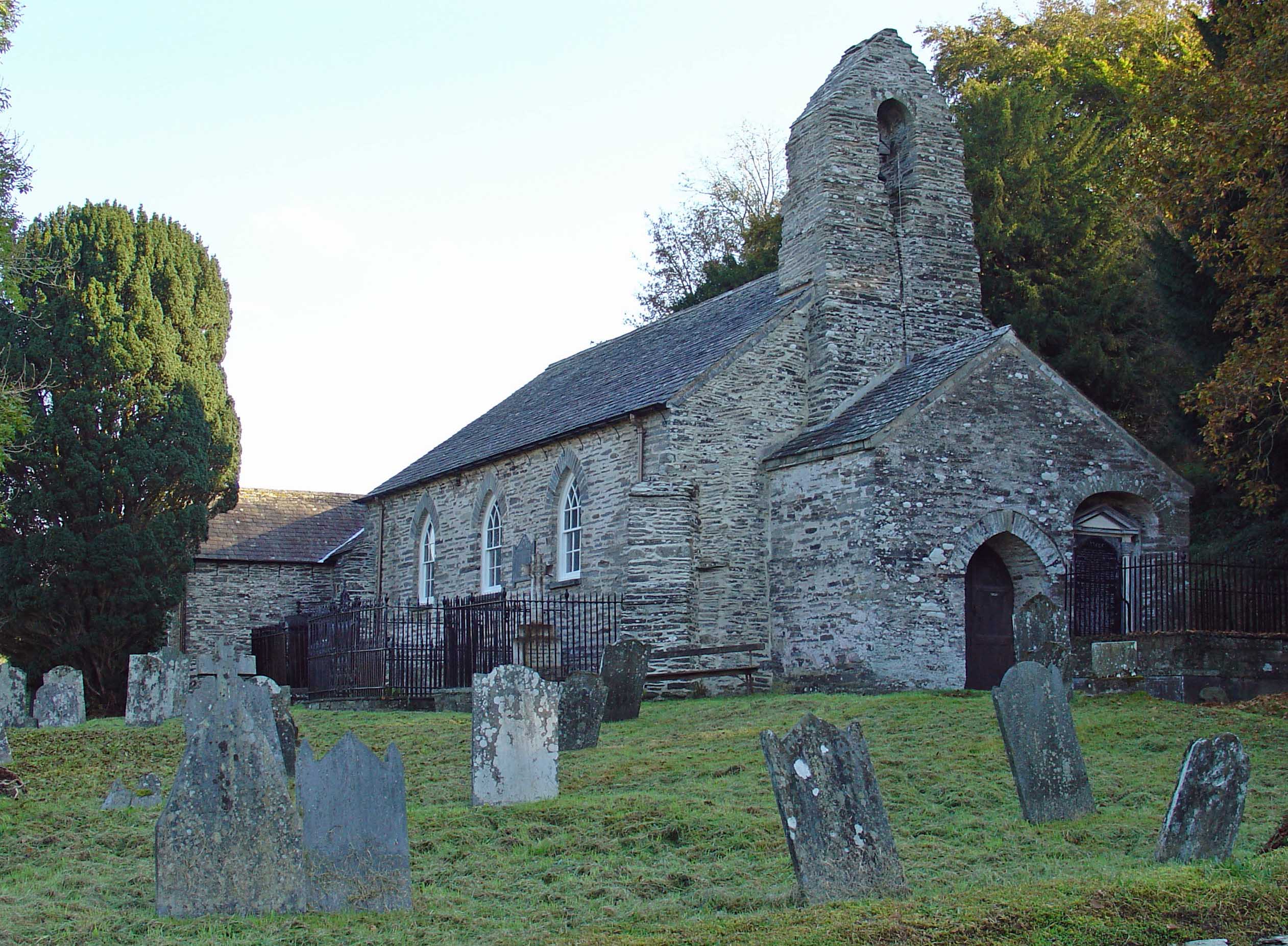
Manordeifi Old Church
Manordeifi Old Church is a redundant church in Manordeifi, Pembrokeshire, Wales. It is designated by Cadw as a Grade II* listed building, and is under...

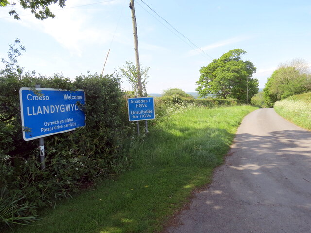
Llandygwydd
Llandygwydd is a small settlement in Ceredigion, west Wales, between Newcastle Emlyn and the town of Cardigan. == Amenities & History == A small stream...
Tynewydd, Ceredigion
Tynewydd, Ceredigion (or Tŷ Newydd) is a hamlet in the community of Y Ferwig, Ceredigion, Wales, which is 73.6 miles (118.5 km) from Cardiff and 194.6...
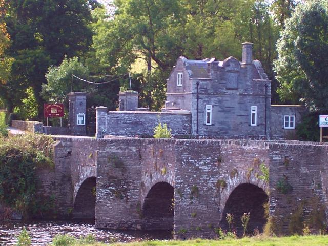
Llechryd
Llechryd (Welsh pronunciation: [ɬɛxrɪd]) is a rural village on the A484 road approximately 3 miles (4.8 km) from Cardigan, Ceredigion, Wales. Situated...
Nearby Amenities
Located within 500m of 52.076575,-4.5761353Have you been to Allt Pant-gwyn?
Leave your review of Allt Pant-gwyn below (or comments, questions and feedback).