Burge End
Settlement in Hertfordshire North Hertfordshire
England
Burge End
Burge End is a small hamlet located in the county of Hertfordshire, England. Situated in the eastern part of the county, it falls within the district of East Hertfordshire. The hamlet is surrounded by picturesque countryside and is known for its tranquil and idyllic setting.
Burge End is home to a handful of residential properties, including charming cottages and farmhouses that add to its rustic charm. The area is primarily rural, with an abundance of green fields and woodlands, providing an ideal environment for nature lovers and outdoor enthusiasts.
Despite its small size, Burge End benefits from its close proximity to nearby towns and villages. The town of Bishop's Stortford is approximately 7 miles to the east, offering a range of amenities including shops, schools, and leisure facilities. The larger town of Hertford, the county town of Hertfordshire, is also within easy reach, situated around 12 miles to the west.
Residents and visitors to Burge End can enjoy the peaceful surroundings and take advantage of the various walking and cycling routes that traverse the area. The nearby River Stort also presents opportunities for fishing and boating.
Overall, Burge End offers a charming and peaceful retreat in the heart of the Hertfordshire countryside, providing a welcome escape from the hustle and bustle of nearby towns and cities.
If you have any feedback on the listing, please let us know in the comments section below.
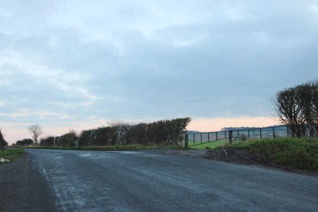
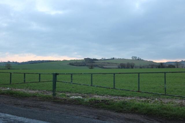
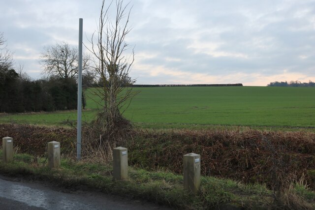
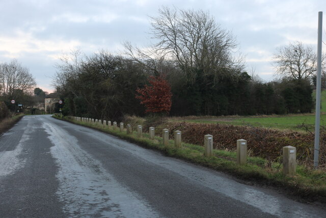
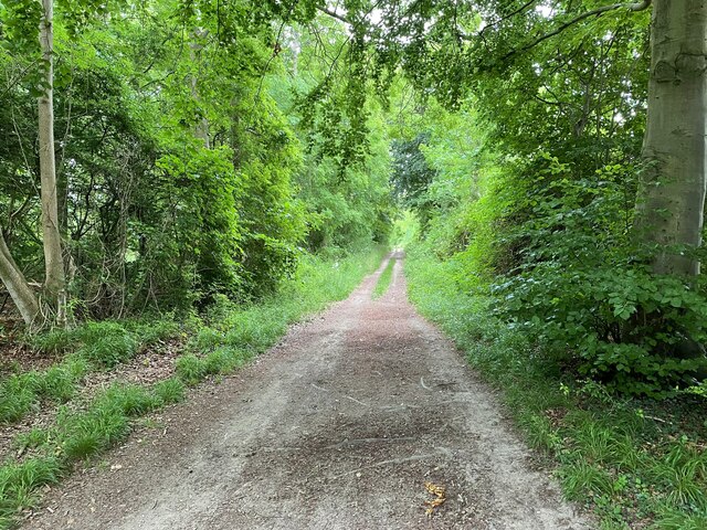
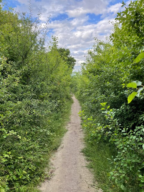
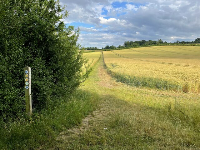
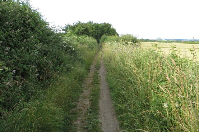
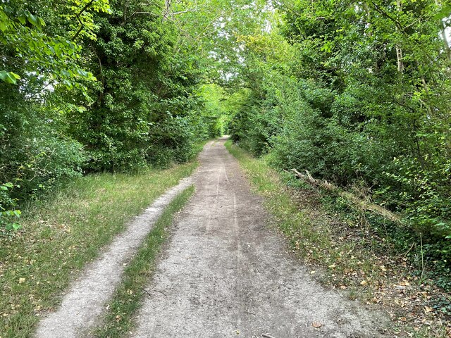
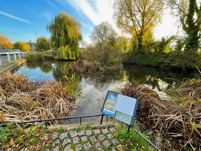
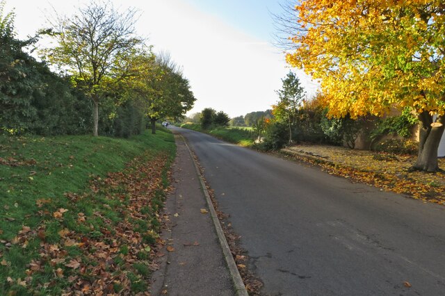
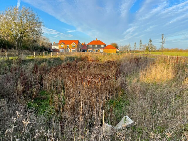
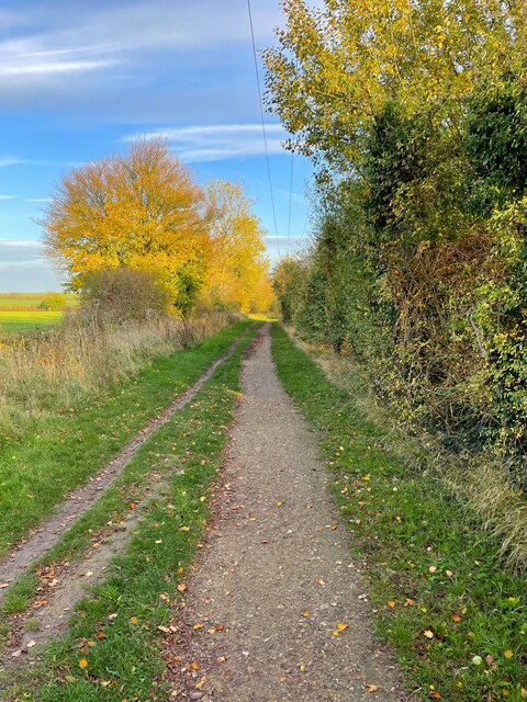
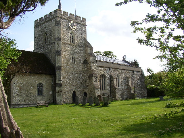
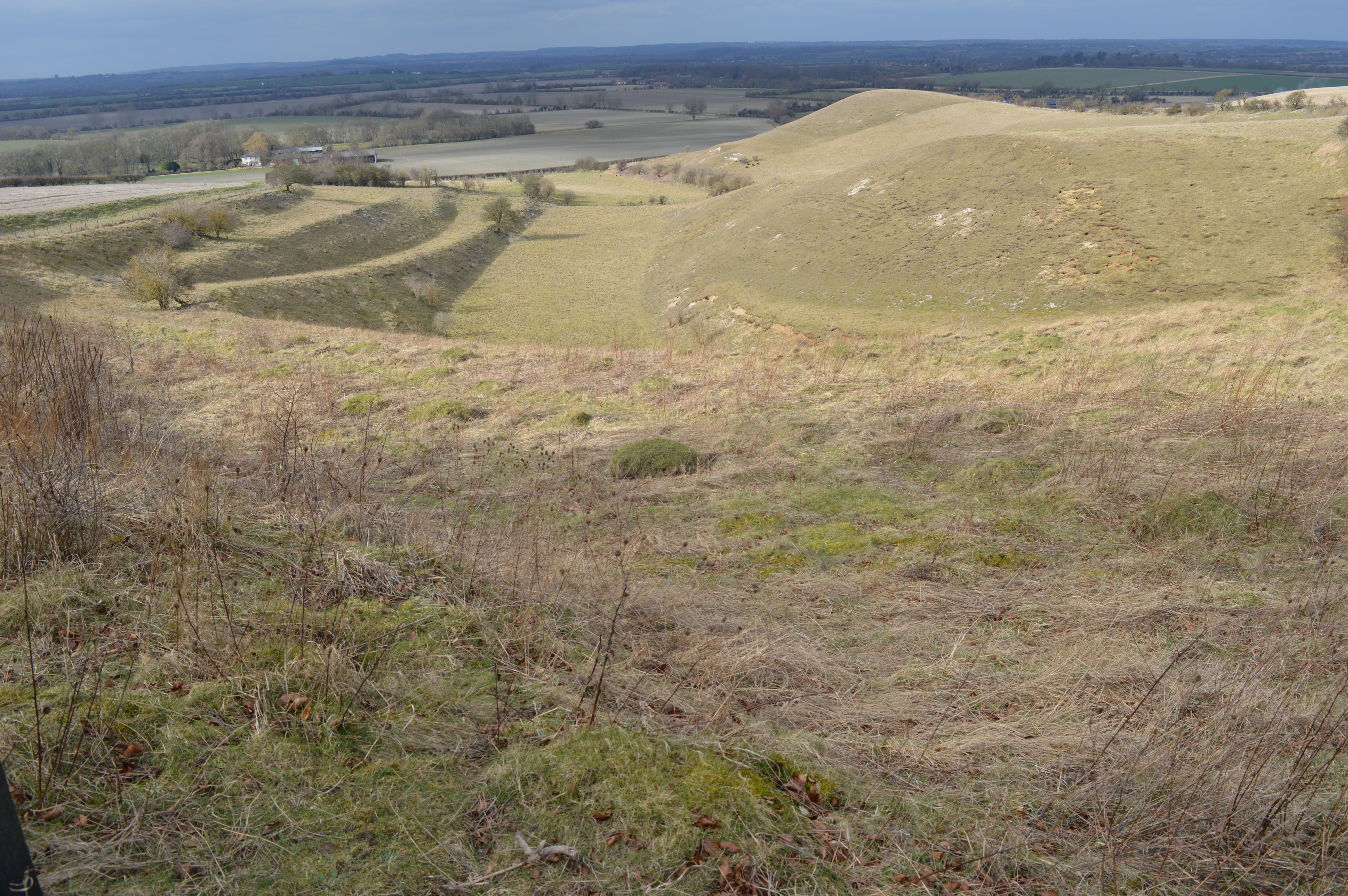
Burge End Images
Images are sourced within 2km of 51.978952/-0.334297 or Grid Reference TL1432. Thanks to Geograph Open Source API. All images are credited.


Burge End is located at Grid Ref: TL1432 (Lat: 51.978952, Lng: -0.334297)
Administrative County: Hertfordshire
District: North Hertfordshire
Police Authority: Hertfordshire
What 3 Words
///cashiers.compiled.easygoing. Near Pirton, Hertfordshire
Nearby Locations
Related Wikis
Pirton, Hertfordshire
Pirton is a large village and civil parish three miles northwest of Hitchin in Hertfordshire, England. The population of the civil parish at the 2011 census...

Holwell, Hertfordshire
Holwell is a small village and a civil parish two miles north of Hitchin in Hertfordshire, England, near the Bedfordshire border. The parish was historically...

Shillington Hoard
The Shillington Hoard is a Roman coin hoard found in Shillington, Bedfordshire in 1998. It consisted of 127 gold aurei, the latest of which was from 79...
Knocking Hoe
Knocking Hoe is a 7.7 hectare National Nature Reserve and biological Site of Special Scientific Interest near Pegsdon in Bedfordshire. It is mentioned...
Nearby Amenities
Located within 500m of 51.978952,-0.334297Have you been to Burge End?
Leave your review of Burge End below (or comments, questions and feedback).