Allt Pen-lan
Wood, Forest in Cardiganshire
Wales
Allt Pen-lan
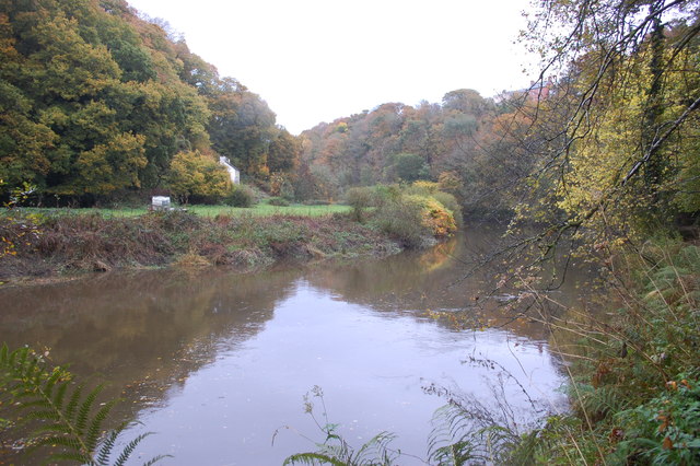
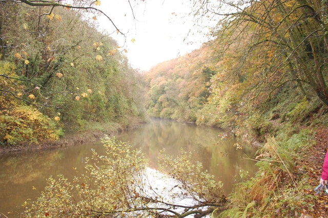
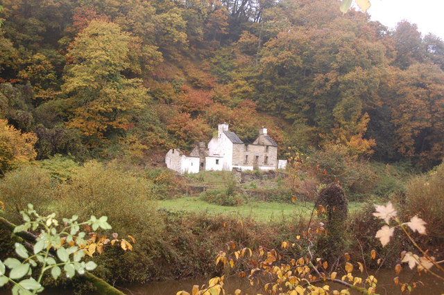
Allt Pen-lan is a picturesque woodland located in Cardiganshire, Wales. Covering an area of approximately 100 hectares, this forest is nestled in the rolling hills of the Welsh countryside. The name "Allt Pen-lan" translates to "wood on the hilltop," which perfectly captures its geographical location.
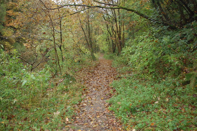
The forest is primarily composed of native deciduous trees, such as oak, beech, and birch, providing a stunning display of vibrant colors during the autumn season. The dense canopy of trees creates a peaceful and serene atmosphere, making it a popular destination for nature enthusiasts and hikers.
The woodland is home to a diverse range of flora and fauna, with various species of wildflowers, ferns, and mosses found throughout the forest floor. It is also a haven for wildlife, including red kites, buzzards, and a variety of woodland birds. Visitors may be lucky enough to spot a shy deer or a playful squirrel as they explore the woodland trails.
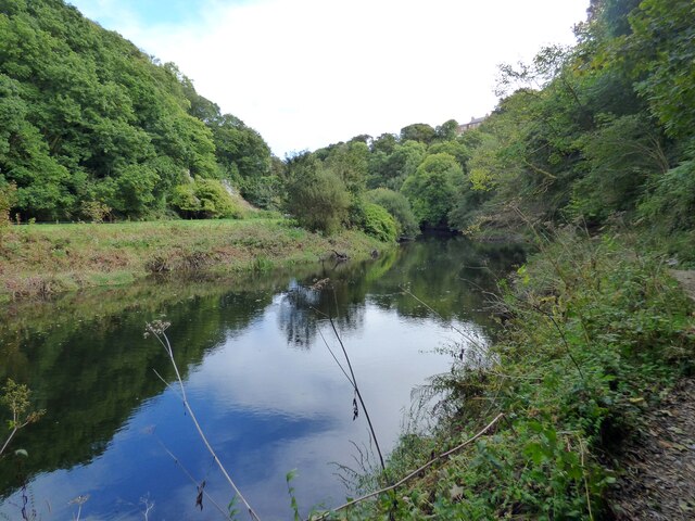
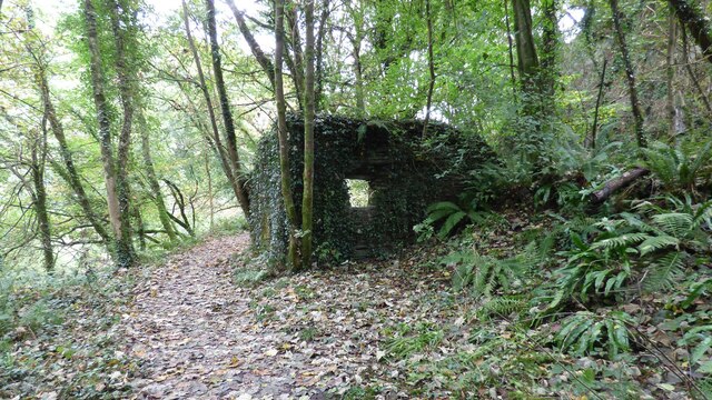
Allt Pen-lan offers a network of well-maintained footpaths and trails, allowing visitors to explore the forest at their own pace. The paths offer breathtaking views of the surrounding countryside, with glimpses of nearby streams and valleys.
The forest is managed by a local conservation organization, which ensures the protection and preservation of its natural beauty. They organize regular guided walks and educational programs, allowing visitors to learn about the rich history and ecology of the woodland.
Allt Pen-lan is a true gem of Cardiganshire, offering a tranquil retreat for those seeking solace in nature's embrace. Its untouched beauty and diverse ecosystem make it an unforgettable destination for all who visit.
If you have any feedback on the listing, please let us know in the comments section below.
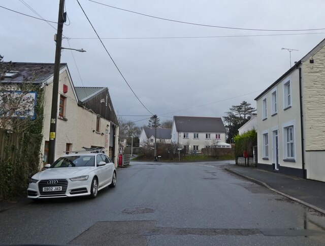
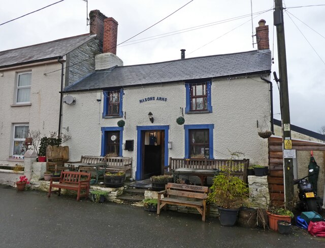
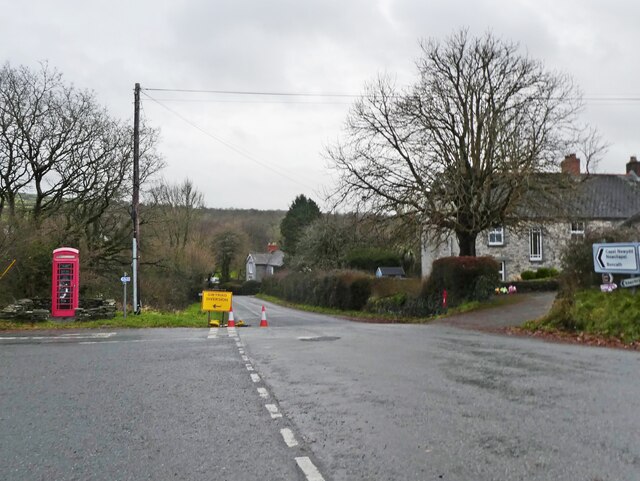
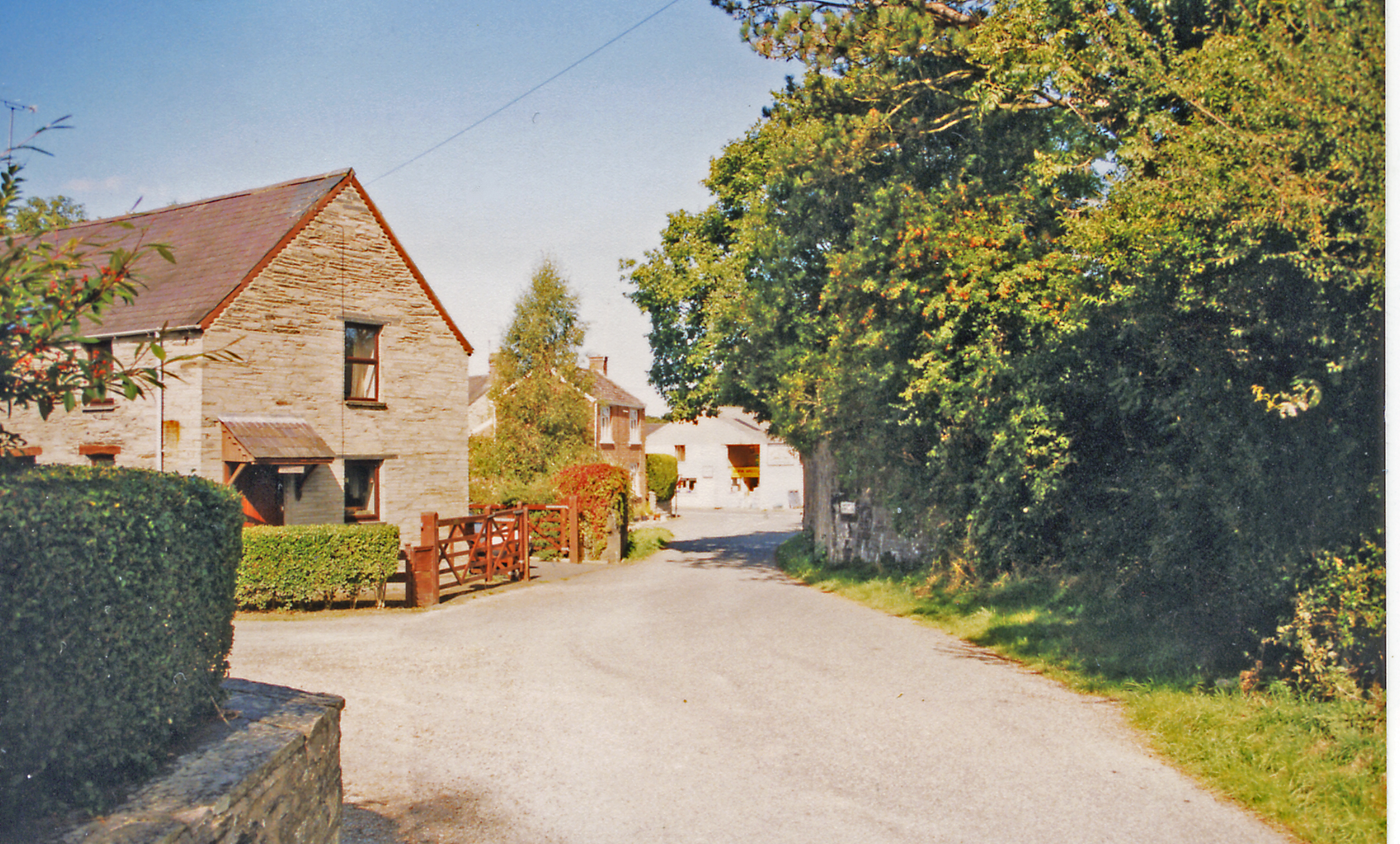
Allt Pen-lan Images
Images are sourced within 2km of 52.057792/-4.6143846 or Grid Reference SN2043. Thanks to Geograph Open Source API. All images are credited.


Allt Pen-lan is located at Grid Ref: SN2043 (Lat: 52.057792, Lng: -4.6143846)
Unitary Authority: Ceredigion
Police Authority: Dyfed Powys
What 3 Words
///simulates.waxing.name. Near Cardigan, Ceredigion
Nearby Locations
Related Wikis

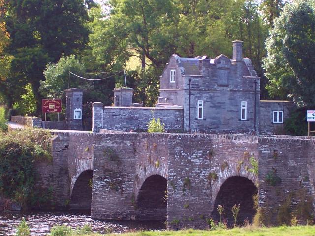
Castell Malgwyn
Castell Malgwyn (alternatively Castle Malgwyn or Hammet House) is a grade II listed Georgian-style country house standing in a landscaped estate in the...
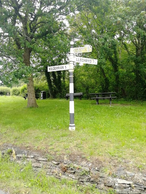
Kilgerran Halt railway station
Kilgerran Halt railway station served the village of Cilgerran, Pembrokeshire, Wales, from 1886 to 1963 on the Whitland and Cardigan Railway. == History... ==
Llechryd
Llechryd (Welsh pronunciation: [ɬɛxrɪd]) is a rural village on the A484 road approximately 3 miles (4.8 km) from Cardigan, Ceredigion, Wales. Situated...

Coedmor National Nature Reserve
Coedmor National Nature Reserve is a nature reserve in Wales, located just south of Cardigan, between Llechryd Bridge and the Teifi Marshes in Ceredigion...

Cilgerran Castle
Cilgerran Castle (Welsh: Castell Cilgerran) is a 13th-century ruined castle located in Cilgerran, Pembrokeshire, Wales, near Cardigan. The first castle...

Cilgerran
Cilgerran (previously Kilgerran or Cil-Garon) is both a village, a parish, and also a community, situated on the south bank of the River Teifi in Pembrokeshire...
Neuadd Wilym
Neuadd Wilym is a small village in the community of Llangoedmor, Ceredigion, Wales, which is 74.2 miles (119.4 km) from Cardiff and 196 miles (315.4 km...
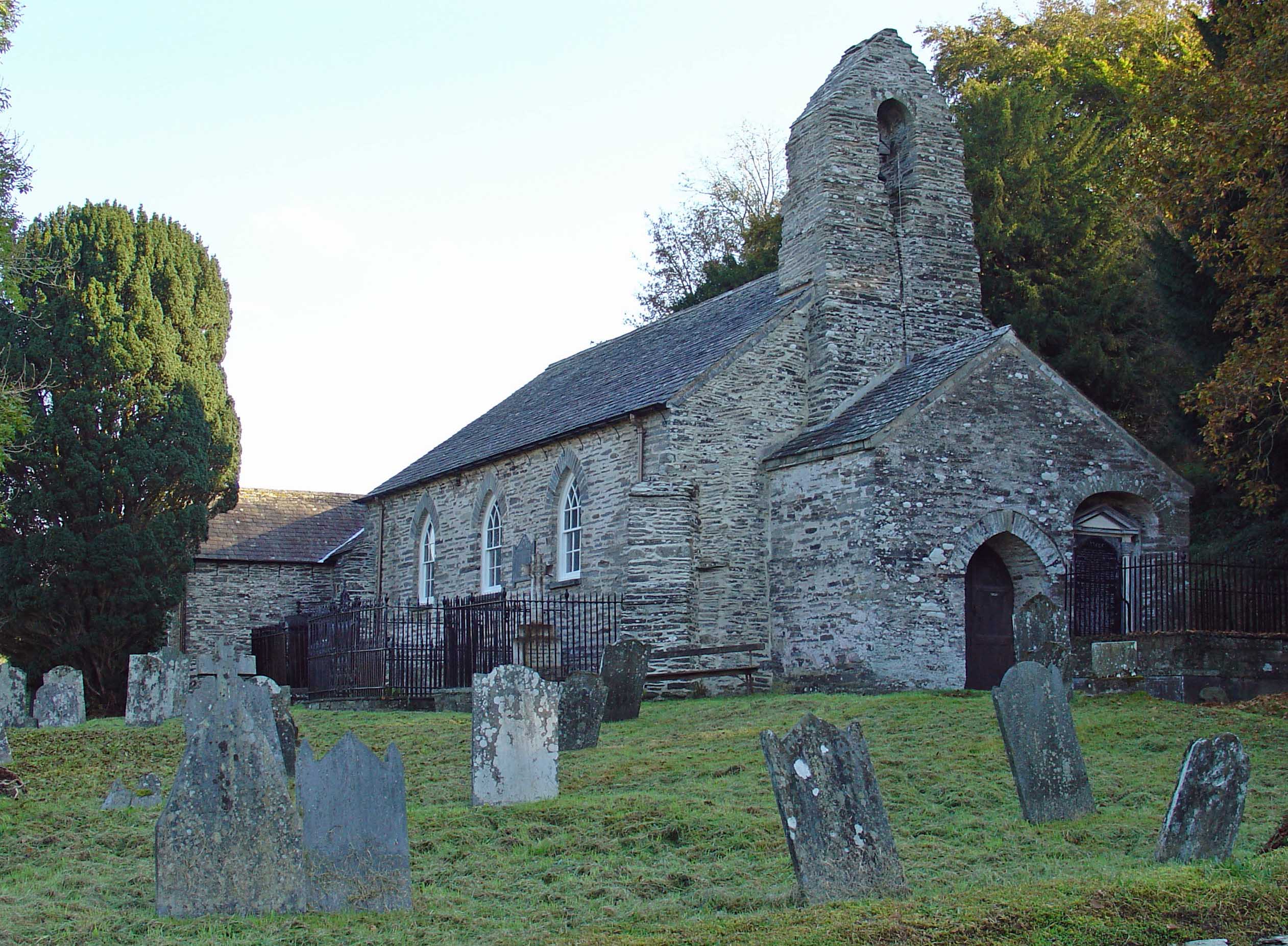
Manordeifi Old Church
Manordeifi Old Church is a redundant church in Manordeifi, Pembrokeshire, Wales. It is designated by Cadw as a Grade II* listed building, and is under...
Nearby Amenities
Located within 500m of 52.057792,-4.6143846Have you been to Allt Pen-lan?
Leave your review of Allt Pen-lan below (or comments, questions and feedback).