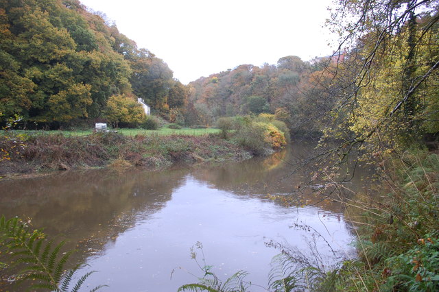
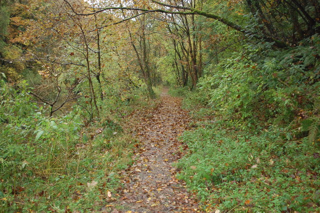
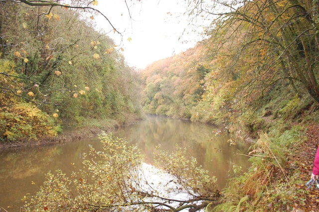
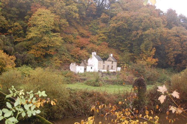
Allt Cwm-mawr

Wood, Forest in Cardiganshire

Wales

Allt Cwm-mawr

Afon Teifi and ruined house The house (white) can be seen left of centre. Walking by the river now it is hard to imagine that not so long ago it was a hive of activity, industry, commerce and quarrying.
Afon Teifi and ruined house Credit: Trevor Harris

The requested URL returned error: 429 Too Many Requests

If you have any feedback on the listing, please let us know in the comments section below.

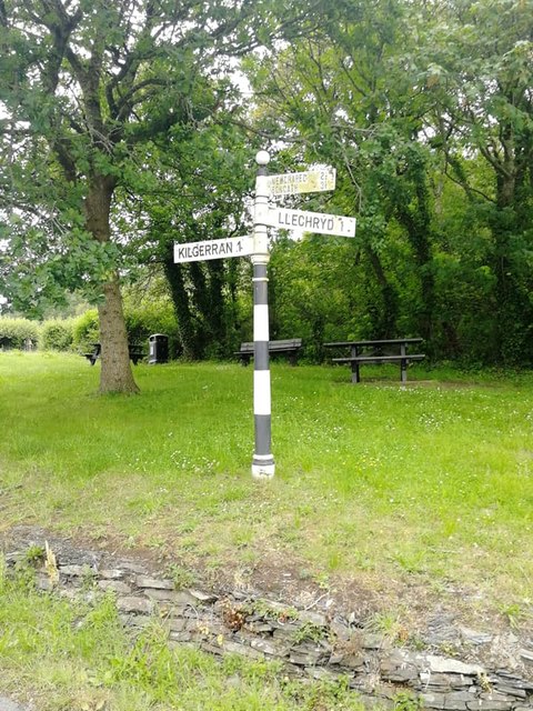
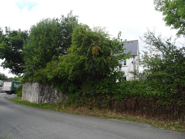
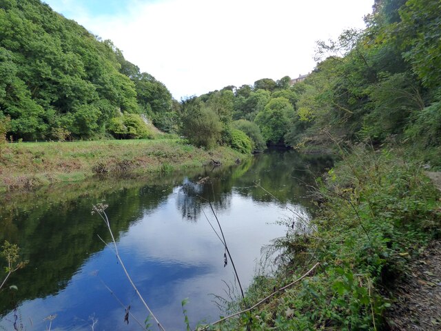
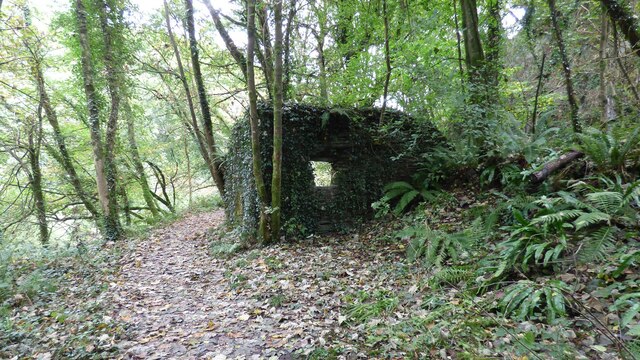
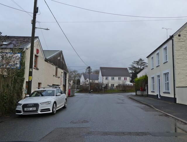
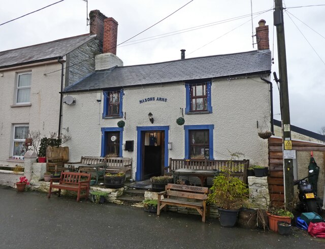
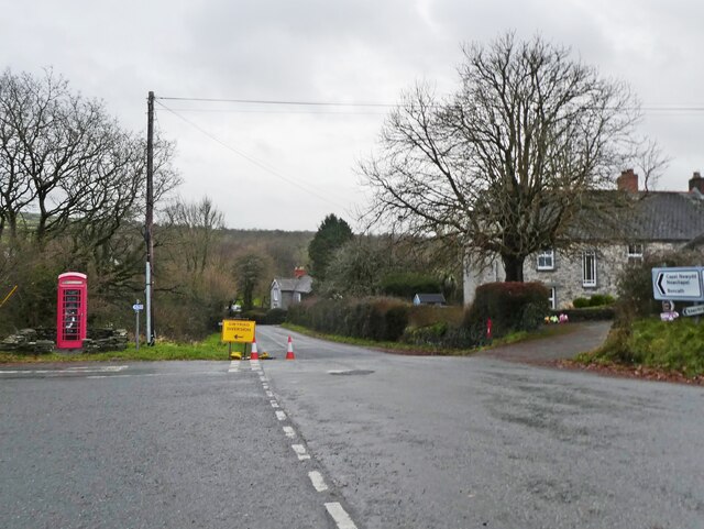
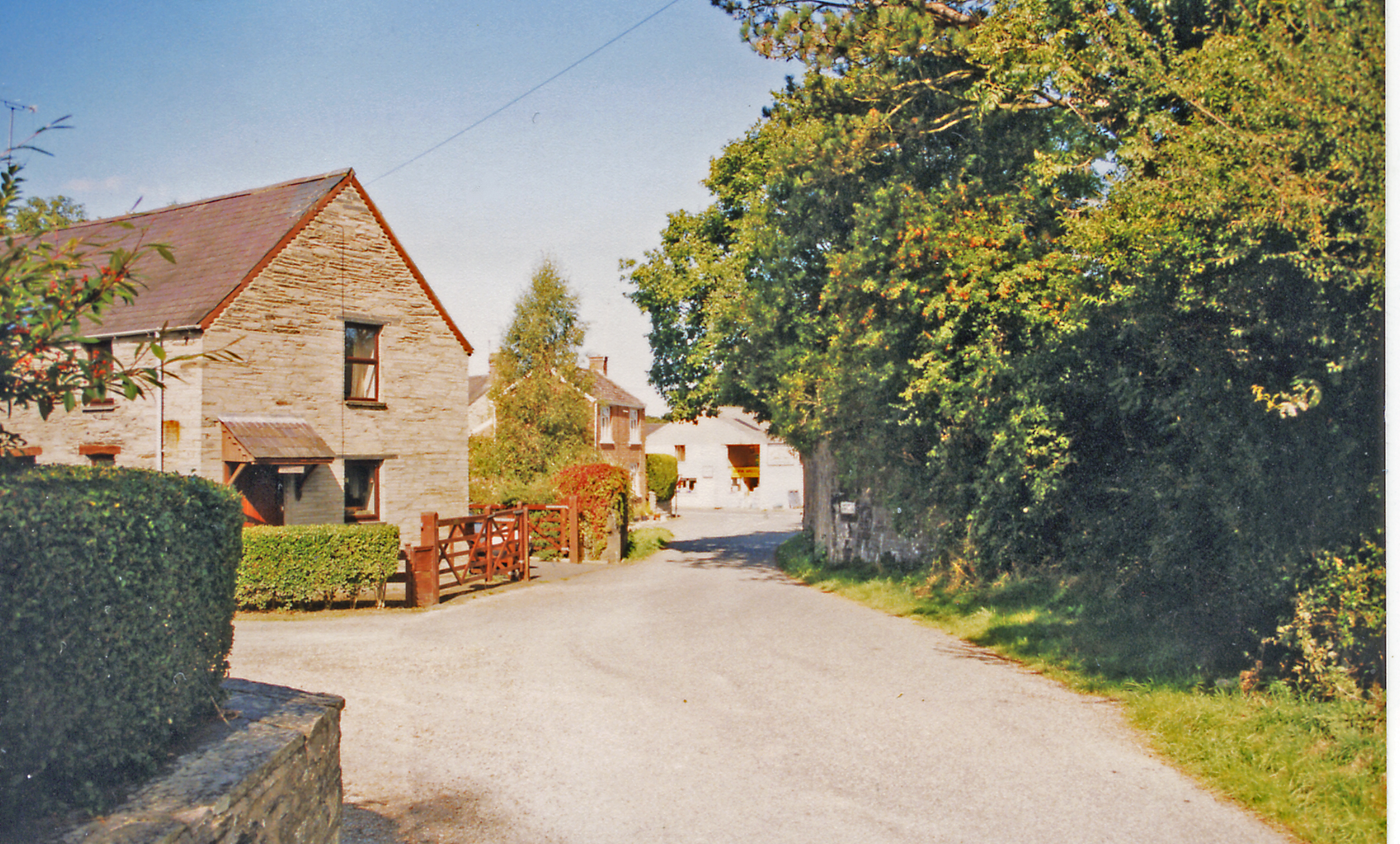
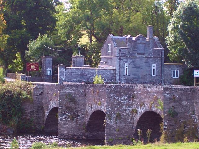
Allt Cwm-mawr Images

Images are sourced within 2km of 52.061731/-4.6160007 or Grid Reference SN2043. Thanks to Geograph Open Source API. All images are credited.

Afon Teifi and ruined house The house (white) can be seen left of centre. Walking by the river now it is hard to imagine that not so long ago it was a hive of activity, industry, commerce and quarrying.
Afon Teifi and ruined house
The house (white) can be seen left of centre. Walking by the river now it is hard to imagine that not so long ago it was a hive of activity, industry, commerce and quarrying.
Riverside path By the Teifi near Cnwcau.
Riverside path
By the Teifi near Cnwcau.
Bend on the Afon Teifi Near Llechryd.
Bend on the Afon Teifi
Near Llechryd.
Ruined house by the Afon Teifi Either a former farmhouse or associated with the industry and quarrying in the valley here.
Ruined house by the Afon Teifi
Either a former farmhouse or associated with the industry and quarrying in the valley here.
Anglers by the River Teifi, Llechryd The River Teifi is the longest river which is wholly in Wales and flows 75 miles from its source in the Cambrian mountains to its estuary at Cardigan.
It is tidal up to Llechryd.
In this view it is flowing from right to left.
Salmon and Sea Trout (Sewin) are fished here.
The viewpoint is in Pembrokeshire and the far bank in Ceredigion; the river being the boundary between these two counties at this point.
Anglers by the River Teifi, Llechryd
The River Teifi is the longest river which is wholly in Wales and flows 75 miles from its source in the Cambrian mountains to its estuary at Cardigan. It is tidal up to Llechryd. In this view it is flowing from right to left. Salmon and Sea Trout (Sewin) are fished here. The viewpoint is in Pembrokeshire and the far bank in Ceredigion; the river being the boundary between these two counties at this point.
Ordnance Survey Cut Mark This OS cut mark can be found on the SW face of the Lodge. It marks a point 66.023m above mean sea level.
Ordnance Survey Cut Mark
This OS cut mark can be found on the SW face of the Lodge. It marks a point 66.023m above mean sea level.
Ordnance Survey Cut Mark This OS cut mark can be found on the west face of St Tydfil's Church. It marks a point 22.785m above mean sea level.
Ordnance Survey Cut Mark
This OS cut mark can be found on the west face of St Tydfil's Church. It marks a point 22.785m above mean sea level.
Direction Sign – Signpost Located on the northeast side of the T junction on Garnon's Mill Road in Cilgerran community. 3 arms and ball finial. 

Milestone Society National ID: PEM_SN2042
Direction Sign – Signpost
Located on the northeast side of the T junction on Garnon's Mill Road in Cilgerran community. 3 arms and ball finial. Milestone Society National ID: PEM_SN2042
Afon Teifi at Llechryd
Kilgerran railway station (site), Pembrokeshire Opened in 1886 by the Whitland and Taf Vale Railway, later part of the Great Western Railway, on the line from Whitland to Cardigan, this station closed to passengers in 1962 and completely in 1963.
View north east at the site. A steep path led up to the station building, now replaced by a small housing estate. The abutment which carried the former railway bridge left to right over the road is however still clearly visible, on the left of the image. Note the station was always "Kilgerran" whereas the village is "Cilgerran".
For more information, see <span class="nowrap"><a title="http://www.disused-stations.org.uk/k/kilgerran/index.shtml" rel="nofollow ugc noopener" href="http://www.disused-stations.org.uk/k/kilgerran/index.shtml">Link</a><img style="margin-left:2px;" alt="External link" title="External link - shift click to open in new window" src="https://s1.geograph.org.uk/img/external.png" width="10" height="10"/></span>.
Kilgerran railway station (site), Pembrokeshire
Opened in 1886 by the Whitland and Taf Vale Railway, later part of the Great Western Railway, on the line from Whitland to Cardigan, this station closed to passengers in 1962 and completely in 1963. View north east at the site. A steep path led up to the station building, now replaced by a small housing estate. The abutment which carried the former railway bridge left to right over the road is however still clearly visible, on the left of the image. Note the station was always "Kilgerran" whereas the village is "Cilgerran". For more information, see LinkExternal link.
River Teifi
River Teifi
Quarry Building Remains of a building associated with slate quarrying near Cilgerran.
Quarry Building
Remains of a building associated with slate quarrying near Cilgerran.
Llechryd Bridge A 17th century stone bridge. At the time of the visit there were large tree trunks caught up the arches <span class="nowrap"><a title="https://coflein.gov.uk/en/site/23895/#:~:text=Llechryd%20or%20Castle%20Malgwyn%20Bridge,inscribed%20on%20a%20small%20stone" rel="nofollow ugc noopener" href="https://coflein.gov.uk/en/site/23895/#:~:text=Llechryd%20or%20Castle%20Malgwyn%20Bridge,inscribed%20on%20a%20small%20stone">Link</a><img style="margin-left:2px;" alt="External link" title="External link - shift click to open in new window" src="https://s1.geograph.org.uk/img/external.png" width="10" height="10"/></span>.
Llechryd Bridge
A 17th century stone bridge. At the time of the visit there were large tree trunks caught up the arches LinkExternal link.
Llechryd Bridge Log Jam
Masons Arms, Cnwcau
Masons Arms, Cnwcau
Turning for Llechryd
Mount Pleasant Lodge
Show me another place!

Allt Cwm-mawr is located at Grid Ref: SN2043 (Lat: 52.061731, Lng: -4.6160007)

Unitary Authority: Ceredigion

Police Authority: Dyfed Powys

What 3 Words

///playful.grabs.contracting. Near Cardigan, Ceredigion

Related Wikis

Castell Malgwyn

Castell Malgwyn (alternatively Castle Malgwyn or Hammet House) is a grade II listed Georgian-style country house standing in a landscaped estate in the...

Kilgerran Halt railway station

Kilgerran Halt railway station served the village of Cilgerran, Pembrokeshire, Wales, from 1886 to 1963 on the Whitland and Cardigan Railway. == History... ==

Llechryd

Llechryd (Welsh pronunciation: [ɬɛxrɪd]) is a rural village on the A484 road approximately 3 miles (4.8 km) from Cardigan, Ceredigion, Wales. Situated...

Coedmor National Nature Reserve

Coedmor National Nature Reserve is a nature reserve in Wales, located just south of Cardigan, between Llechryd Bridge and the Teifi Marshes in Ceredigion...

Nearby Amenities

Located within 500m of 52.061731,-4.6160007
Direction: 185
Generator Method: photovoltaic
Generator Output Electricity: yes
Generator Solar Modules: 12
Generator Source: solar
Generator Type: solar_photovoltaic_panel
Location: roof
Power: generator
Lat/Long: 52.0648996/-4.6168488
The data included in this document is from www.openstreetmap.org. The data is made available under ODbL.

Have you been to Allt Cwm-mawr?

Leave your review of Allt Cwm-mawr below (or comments, questions and feedback).