Allt Bryngast
Wood, Forest in Pembrokeshire
Wales
Allt Bryngast

Allt Bryngast is a picturesque wood located in Pembrokeshire, Wales. This ancient forest spans over 200 acres and is home to a diverse range of flora and fauna. The wood is characterized by its lush greenery, towering trees, and tranquil atmosphere, making it a popular destination for nature lovers and hikers.
Allt Bryngast is known for its rich biodiversity, with a variety of plant species such as oak, beech, and birch trees. The forest is also home to a wide range of wildlife, including birds, mammals, and insects. Visitors to Allt Bryngast may have the opportunity to spot deer, squirrels, and a variety of bird species as they explore the woodland trails.
The wood is a designated Site of Special Scientific Interest (SSSI) due to its ecological significance and unique habitats. Conservation efforts are in place to protect the diverse range of plant and animal species that call Allt Bryngast home.
Overall, Allt Bryngast offers a peaceful retreat for those looking to immerse themselves in nature and enjoy the beauty of the Welsh countryside.
If you have any feedback on the listing, please let us know in the comments section below.
Allt Bryngast Images
Images are sourced within 2km of 52.043718/-4.6835517 or Grid Reference SN1641. Thanks to Geograph Open Source API. All images are credited.


Allt Bryngast is located at Grid Ref: SN1641 (Lat: 52.043718, Lng: -4.6835517)
Unitary Authority: Pembrokeshire
Police Authority: Dyfed Powys
What 3 Words
///indicated.episode.desktop. Near Cardigan, Ceredigion
Nearby Locations
Related Wikis

Llantood
Llantood (formerly Llantyd, Llantwyd or Llan-Illtyd) is a hamlet and parish in Cilgerran community, north Pembrokeshire, Wales. == Location == Llantood...

Bridell
Bridell (Welsh: Y Bridell) is a small settlement and parish in north Pembrokeshire, Wales. The parish includes the village of Pen-y-bryn. Together with...
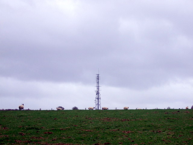
Cardigan transmitting station
The Cardigan transmitting station is a broadcasting and telecommunications facility located at Penwaun in Pembrokeshire, Wales, about 3 km to the south...

Rhoshill, Pembrokeshire
Rhoshill (also known as Rhos-hill) is a hamlet on the A478 road, in the community and parish of Cilgerran, in Pembrokeshire, South-west Wales. The hamlet...
Nearby Amenities
Located within 500m of 52.043718,-4.6835517Have you been to Allt Bryngast?
Leave your review of Allt Bryngast below (or comments, questions and feedback).