Caerau Wood

Wood, Forest in Pembrokeshire

Wales

Caerau Wood

Roadworks on a murky autumn day
Roadworks on a murky autumn day Credit: Alan Hughes

Caerau Wood is a beautiful and diverse woodland located in Pembrokeshire, Wales. Covering an area of approximately 150 hectares, the wood is home to a wide range of flora and fauna, making it a popular destination for nature lovers and hikers.

The wood consists of a mix of ancient oak woodland, conifer plantations, and open grassland, providing a varied landscape for visitors to explore. The ancient oak trees provide a rich habitat for a variety of wildlife, including birds, insects, and small mammals.

Trails wind their way through the wood, allowing visitors to enjoy the peaceful surroundings and spot the many species of plants and animals that call Caerau Wood home. The wood is also home to a number of archaeological sites, including the remains of a hillfort dating back to the Iron Age.

Overall, Caerau Wood offers a tranquil escape from the hustle and bustle of everyday life, and provides a unique opportunity to immerse oneself in the natural beauty of the Pembrokeshire countryside.

If you have any feedback on the listing, please let us know in the comments section below.
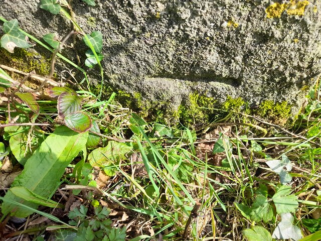
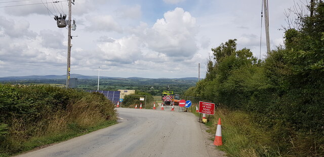
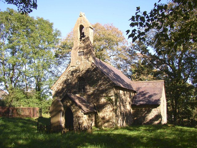
Caerau Wood Images

Images are sourced within 2km of 51.812792/-4.7039002 or Grid Reference SN1316. Thanks to Geograph Open Source API. All images are credited.

Roadworks on a murky autumn day
Y Ffermdy - The Farmhouse On the road to Narberth.
Y Ffermdy - The Farmhouse
On the road to Narberth.
Gateway to field at Stonyford Farm
Autumn leaves at the entrance to Beechwood Park
Entrance to Whitley Farm
CBM Cut Mark on Chapel.
CBM
Cut Mark on Chapel.
Ordnance Survey Cut Mark This OS cut mark can be found on the ruin NE side of the roundabout. It marks a point 90.424m above mean sea level.
Ordnance Survey Cut Mark
This OS cut mark can be found on the ruin NE side of the roundabout. It marks a point 90.424m above mean sea level.
The roundabout on the A40 at Penblewin, Pembrokeshire
The countryside at Penblewin, Pembrokeshire
House in a dip, Llanddewi Felffre, Pembrokeshire
Toilets and car park near Penblewin on the A40
Car and lorry in the car park near Penblewin on A40
Llanddewi Velfrey Village Hall
Crescent of Houses, Llanddewi Velfry
Llanddewi Velfry Bypass Under Construction The new bypass is being built to the north of the village and will be around two kilometres long.
Llanddewi Velfry Bypass Under Construction
The new bypass is being built to the north of the village and will be around two kilometres long.
Road Diversion, Llanddewi Velfry At the time of photographing the lane north out of the village was not closed, but merely diverted around and across the construction site of the village bypass, which will be around two kilometres long.
Road Diversion, Llanddewi Velfry
At the time of photographing the lane north out of the village was not closed, but merely diverted around and across the construction site of the village bypass, which will be around two kilometres long.
Ordnance Survey Cut Mark This OS cut mark can be found on the east face of Henllan Lodge. It marks a point 94.276m above mean sea level.
Ordnance Survey Cut Mark
This OS cut mark can be found on the east face of Henllan Lodge. It marks a point 94.276m above mean sea level.
Ordnance Survey Cut Mark This OS cut mark can be found on the south angle of St David's Church. It marks a point 75.694m above mean sea level.
Ordnance Survey Cut Mark
This OS cut mark can be found on the south angle of St David's Church. It marks a point 75.694m above mean sea level.
Show me another place!

Caerau Wood is located at Grid Ref: SN1316 (Lat: 51.812792, Lng: -4.7039002)

Unitary Authority: Pembrokeshire

Police Authority: Dyfed Powys

What 3 Words

///dinosaur.declining.remotest. Near Narberth, Pembrokeshire

Related Wikis

Llanddewi Velfrey

Llanddewi Velfrey or Llandewi Velfrey (also Llan-ddewi-vel-vre) (Welsh: Llanddewi Efelffre) is a village, parish and community of Pembrokeshire in West...

Crinow

Crinow (Welsh: Crynwedd) is a village and parish in Pembrokeshire, Wales, 2 kilometres (1.2 mi) east of Narberth. The parish is part of the community...

Clynderwen

Clynderwen (Welsh: Clunderwen; ) is a rural linear village and community, historically in Carmarthenshire in Wales, but administered as part of Pembrokeshire...

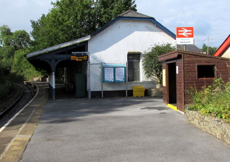
Narberth railway station (Wales)

Narberth railway station serves the town of Narberth, Pembrokeshire, Wales. The station is on the West Wales Line, 19¾ miles (32 km) west of Carmarthen...

Nearby Amenities

Located within 500m of 51.812792,-4.7039002
Ford: yes
Lat/Long: 51.8127702/-4.6976239
Give Way
Direction: backward
Lat/Long: 51.8143995/-4.7000075
Barrier: kissing_gate
Lat/Long: 51.8093746/-4.7018488
The data included in this document is from www.openstreetmap.org. The data is made available under ODbL.

Have you been to Caerau Wood?

Leave your review of Caerau Wood below (or comments, questions and feedback).