Caerau Gaer
Heritage Site in Pembrokeshire
Wales
Caerau Gaer

Caerau Gaer, located in Pembrokeshire, Wales, is an ancient Roman fort that dates back to the 1st century AD. It is considered a significant heritage site due to its historical and archaeological importance.
The fort is situated on a hilltop, providing commanding views of the surrounding landscape. It was built as part of the Roman conquest and occupation of Britain, serving as a strategic military outpost to control the local area. The fort covers an area of approximately 2.5 acres and was constructed using earth and timber.
Excavations at Caerau Gaer have revealed a wealth of information about Roman military life. The remains of barracks, a commander's house, a granary, and a bathhouse have been uncovered, shedding light on the daily routines and living conditions of the Roman soldiers stationed there. The fort's layout demonstrates typical Roman military planning, with well-defined streets and structures.
Numerous artifacts have been discovered at the site, including pottery, coins, and personal items, providing valuable insights into the material culture of the Roman occupation. These finds are now displayed in museums and contribute to our understanding of Roman Britain.
Caerau Gaer is open to the public, and visitors can explore the remains of the fort and imagine what life would have been like for the Roman soldiers who once inhabited the site. Interpretive panels and information boards provide historical context and enhance the visitor experience.
Overall, Caerau Gaer is a significant heritage site that offers a glimpse into the Roman occupation of Britain and provides valuable archaeological information about the period.
If you have any feedback on the listing, please let us know in the comments section below.
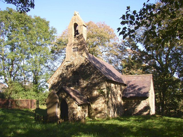
Caerau Gaer Images
Images are sourced within 2km of 51.815/-4.705 or Grid Reference SN1316. Thanks to Geograph Open Source API. All images are credited.


Caerau Gaer is located at Grid Ref: SN1316 (Lat: 51.815, Lng: -4.705)
Unitary Authority: Pembrokeshire
Police Authority: Dyfed Powys
What 3 Words
///enclosing.profile.available. Near Narberth, Pembrokeshire
Nearby Locations
Related Wikis

Llanddewi Velfrey
Llanddewi Velfrey or Llandewi Velfrey (also Llan-ddewi-vel-vre) (Welsh: Llanddewi Efelffre) is a village, parish and community of Pembrokeshire in West...
Clynderwen
Clynderwen (Welsh: Clunderwen; ) is a rural linear village and community, historically in Carmarthenshire in Wales, but administered as part of Pembrokeshire...

Crinow
Crinow (Welsh: Crynwedd) is a village and parish in Pembrokeshire, Wales, 2 kilometres (1.2 mi) east of Narberth. The parish is part of the community...
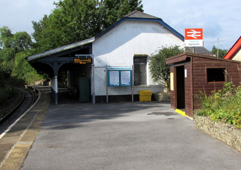
Narberth railway station (Wales)
Narberth railway station serves the town of Narberth, Pembrokeshire, Wales. The station is on the West Wales Line, 19¾ miles (32 km) west of Carmarthen...

Lampeter Velfrey
Lampeter Velfrey (Welsh: Llanbedr Felfre) is a community and parish in the county of Pembrokeshire, Wales, which lies 68.0 miles (109.4 km) from Cardiff...

Narberth Rural District
Narberth Rural District was a rural district in the administrative county of Pembrokeshire, Wales from 1894 to 1974, covering an area in the east of the...

Carmarthen West and South Pembrokeshire (Senedd constituency)
Carmarthen West and South Pembrokeshire (Welsh: Gorllewin Caerfyrddin a De Sir Benfro) is a constituency of the Senedd. It elects one Member of the Senedd...
Narberth (electoral ward)
Narberth is the name of an electoral ward in Pembrokeshire, Wales. Since 1995 it has elected one councillor to Pembrokeshire County Council. The current...
Nearby Amenities
Located within 500m of 51.815,-4.705Have you been to Caerau Gaer?
Leave your review of Caerau Gaer below (or comments, questions and feedback).