Pencelly Forest

Wood, Forest in Pembrokeshire

Wales

Pencelly Forest

Church of St Cristiolus, Eglwyswrw 19th Century church on medieval foundations.
Church of St Cristiolus, Eglwyswrw Credit: Eirian Evans

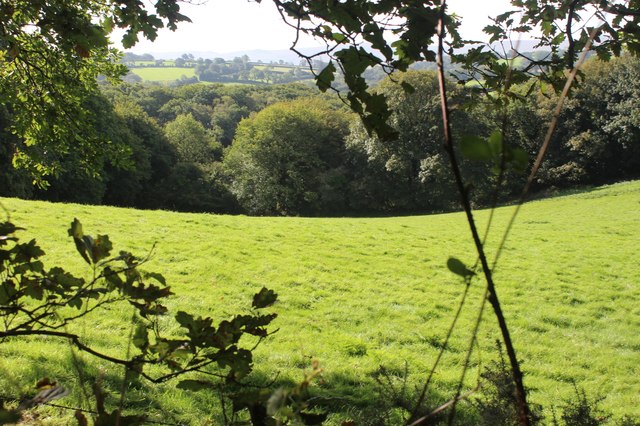
Pencelly Forest is a picturesque woodland located in Pembrokeshire, Wales. Spanning over an area of approximately 200 hectares, it is a significant natural treasure within the region. The forest is situated near the village of Pencelly and is easily accessible by both car and foot.

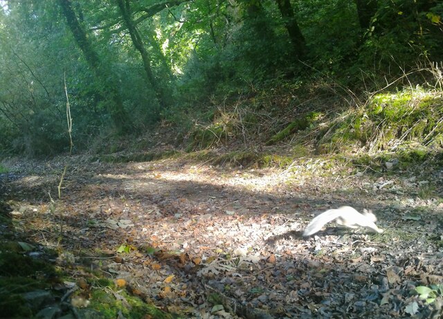
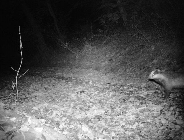
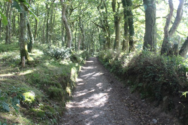
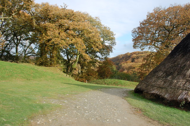
The woodland is characterized by its dense cover of native trees, including oak, ash, birch, and beech. These majestic trees create a lush canopy that casts dappled sunlight onto the forest floor, providing a tranquil and serene atmosphere for visitors. Pencelly Forest is also known for its diverse wildlife, with a wide range of bird species, mammals, and insects calling it their home.

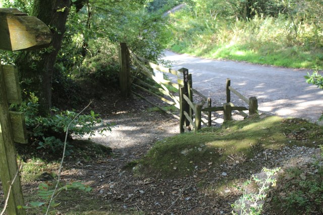
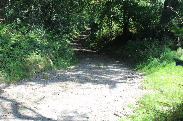
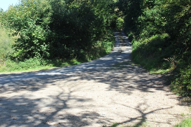
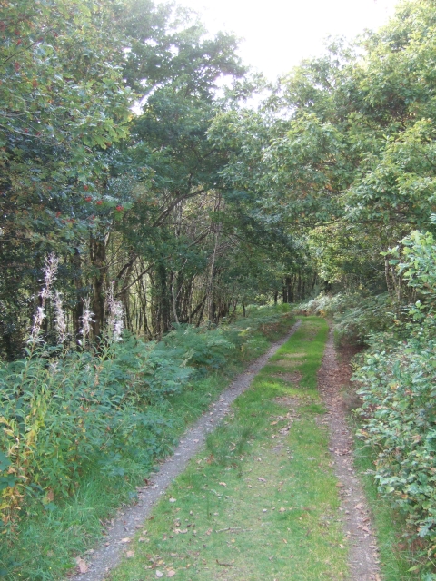
The forest offers several well-maintained walking trails, allowing visitors to explore its natural beauty at their own pace. These trails wind through the woodland, leading visitors to hidden streams, vibrant wildflowers, and ancient ruins. There are also designated picnic areas and benches where visitors can relax and enjoy the peaceful surroundings.

Pencelly Forest is not only a haven for nature enthusiasts, but it also serves as an important ecological site. It helps to maintain the biodiversity of the area and provides a valuable habitat for various species. The forest is carefully managed by local authorities to ensure its long-term sustainability and conservation.

Overall, Pencelly Forest is a true gem of Pembrokeshire, offering visitors a chance to immerse themselves in the beauty and tranquility of nature. Whether it's a leisurely stroll, a birdwatching adventure, or simply a moment of relaxation, this woodland has something to offer for everyone.

If you have any feedback on the listing, please let us know in the comments section below.

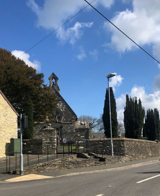
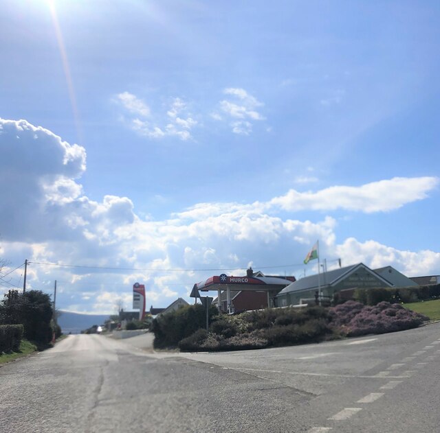
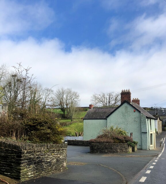
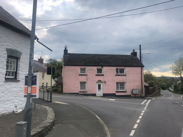
Pencelly Forest Images

Images are sourced within 2km of 52.018475/-4.7273567 or Grid Reference SN1239. Thanks to Geograph Open Source API. All images are credited.

Church of St Cristiolus, Eglwyswrw 19th Century church on medieval foundations.
Church of St Cristiolus, Eglwyswrw
19th Century church on medieval foundations.
Murco filling station near Eglwyswrw
Entrance to Eglwyswrw car park
House on the outskirts of Eglwyswrw
Pink house on the road junction at Egwlyswrw
The Armoury, Eglwyswrw Grade II listed, formerly the village armoury but later became the stables for Serjeants Inn, across the road. It has been renovated and is now a house. St Cristiolus church stands behind it.
The Armoury, Eglwyswrw
Grade II listed, formerly the village armoury but later became the stables for Serjeants Inn, across the road. It has been renovated and is now a house. St Cristiolus church stands behind it.
B4332 at Eglwyswrw village boundary
Track in Pengelli Forest with squirrel Taken in daylight at 08:58 with a wildlife camera, attached to a tree by the track. See <a title="https://www.geograph.org.uk/photo/7588512" href="https://www.geograph.org.uk/photo/7588512">Link</a> for a night view with a badger.
Track in Pengelli Forest with squirrel
Taken in daylight at 08:58 with a wildlife camera, attached to a tree by the track. See Link for a night view with a badger.
Badger at night in Pengelli Forest Taken in infra-red at 23:53 with a wildlife camera, attached to a tree by the track.
See <a title="https://www.geograph.org.uk/photo/7587266" href="https://www.geograph.org.uk/photo/7587266">Link</a> for a daytime view.
Badger at night in Pengelli Forest
Taken in infra-red at 23:53 with a wildlife camera, attached to a tree by the track. See Link for a daytime view.
Gated entrance to Pant-teg Wood Start of permissive footpath on track into Pengelli Forest NNR, Wildlife Trust of South & West Wales.
Gated entrance to Pant-teg Wood
Start of permissive footpath on track into Pengelli Forest NNR, Wildlife Trust of South & West Wales.
Track in Pant-teg Wood Track through oak woodland from entrance to Pengelli Forest NNR.
Track in Pant-teg Wood
Track through oak woodland from entrance to Pengelli Forest NNR.
Meadow by Pant-teg Wood Hillside meadow between Pant-teg Wood, to the east, and minor road.
Meadow by Pant-teg Wood
Hillside meadow between Pant-teg Wood, to the east, and minor road.
Track by woodland Public footpath on stony track.
Track by woodland
Public footpath on stony track.
Minor road up from Felindre Farchog Narrow road carrying NCR 82 through part of the North Pembrokeshire woodlands.
Minor road up from Felindre Farchog
Narrow road carrying NCR 82 through part of the North Pembrokeshire woodlands.
Castell Henllys Looking north east from inside the ramparts of the iron age hill fort. Part of one of the excellent reconstructions of round houses to the right.
Castell Henllys
Looking north east from inside the ramparts of the iron age hill fort. Part of one of the excellent reconstructions of round houses to the right.
Meline Parish Church From the approach road to Castell Henllys hill fort.
Meline Parish Church
From the approach road to Castell Henllys hill fort.
Road To Felindre Farchog With Dinas 'Island' on the horizon
Road To Felindre Farchog
With Dinas 'Island' on the horizon
Coed Henllys Translates as 'Old Court Wood'. Nearby on the outskirts of  Felindre Farchog, Castell Henllys is a scheduled Ancient Monument and most impressive prehistoric promontory Iron Age fort dating to approx. 6000BC.
Archaeological excavation has been carried out here for the last 20 years and thatched Iron Age buildings have been reconstructed on the site of the original corner posts and foundations.
Coed Henllys
Translates as 'Old Court Wood'. Nearby on the outskirts of Felindre Farchog, Castell Henllys is a scheduled Ancient Monument and most impressive prehistoric promontory Iron Age fort dating to approx. 6000BC. Archaeological excavation has been carried out here for the last 20 years and thatched Iron Age buildings have been reconstructed on the site of the original corner posts and foundations.
Show me another place!

Pencelly Forest is located at Grid Ref: SN1239 (Lat: 52.018475, Lng: -4.7273567)

Unitary Authority: Pembrokeshire

Police Authority: Dyfed Powys

What 3 Words

///logic.swam.newspaper. Near Nevern, Pembrokeshire

Related Wikis

Pengelli National Nature Reserve

Pengelli National Nature Reserve is part of the largest block of ancient oak woodland in West Wales. It has survived for hundreds of years, despite being...

Meline, Pembrokeshire

Meline (also recorded as Meliney and Melinau) is a parish in the Diocese of St David's in north Pembrokeshire, Wales. There is no settlement of this name...

Church of St Dogfael, Meline

The Church of St Dogfael, Meline, Pembrokeshire, Wales is a redundant church dating from the 19th century. A Grade II listed building, the church is now...

Castell Henllys

Castell Henllys (Welsh, "castle of the old court") is an archaeological site near Nevern in north Pembrokeshire, Wales. The Iron Age hillfort has been...

Have you been to Pencelly Forest?

Leave your review of Pencelly Forest below (or comments, questions and feedback).