Cwm yr Allt-lŵyd
Valley in Pembrokeshire
Wales
Cwm yr Allt-lŵyd
The requested URL returned error: 429 Too Many Requests
If you have any feedback on the listing, please let us know in the comments section below.
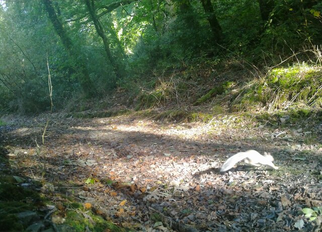
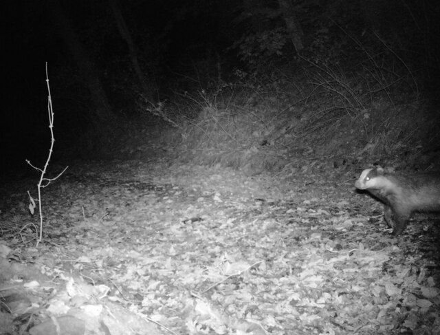
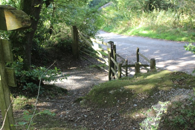
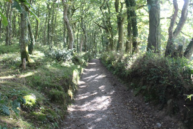
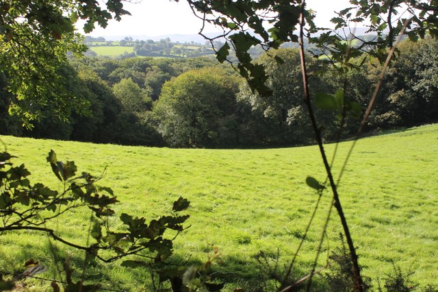
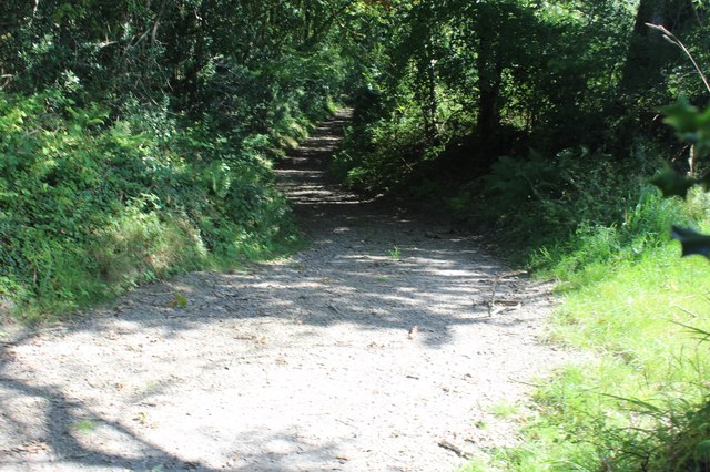
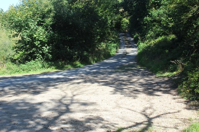
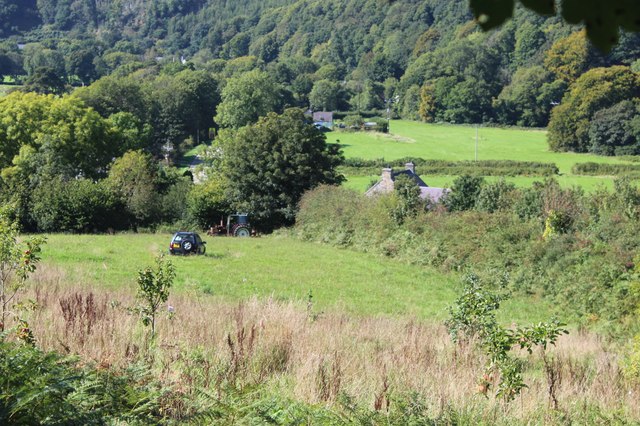
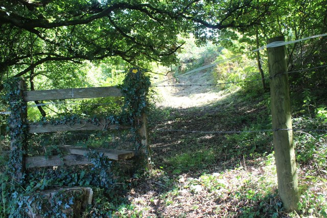
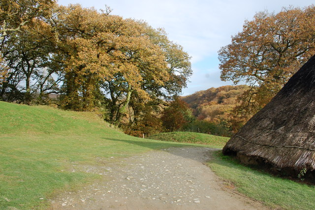
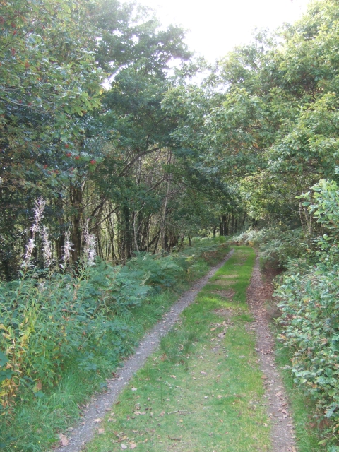
Cwm yr Allt-lŵyd Images
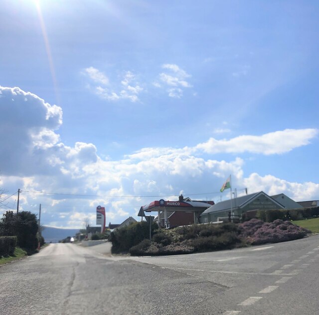
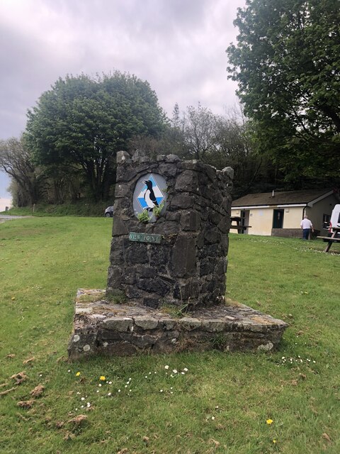
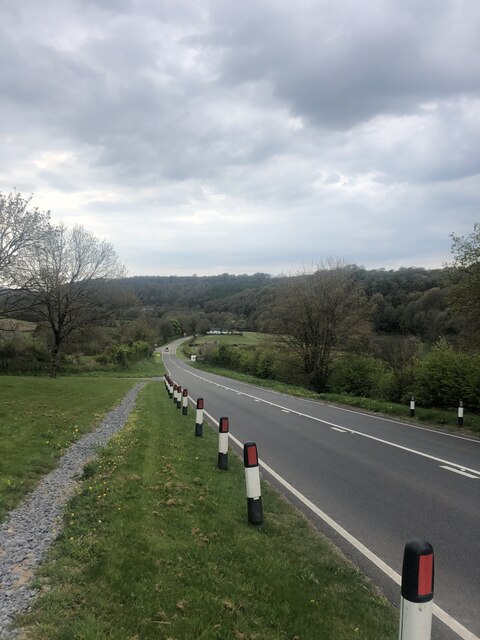
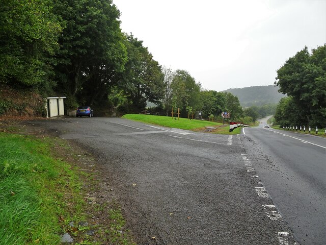
Images are sourced within 2km of 52.018527/-4.7409885 or Grid Reference SN1239. Thanks to Geograph Open Source API. All images are credited.


Cwm yr Allt-lŵyd is located at Grid Ref: SN1239 (Lat: 52.018527, Lng: -4.7409885)
Unitary Authority: Pembrokeshire
Police Authority: Dyfed Powys
What 3 Words
///playing.ambition.otherwise. Near Nevern, Pembrokeshire
Nearby Locations
Related Wikis

Meline, Pembrokeshire
Meline (also recorded as Meliney and Melinau) is a parish in the Diocese of St David's in north Pembrokeshire, Wales. There is no settlement of this name...

Castell Henllys
Castell Henllys (Welsh, "castle of the old court") is an archaeological site near Nevern in north Pembrokeshire, Wales. The Iron Age hillfort has been...
Church of St Dogfael, Meline
The Church of St Dogfael, Meline, Pembrokeshire, Wales is a redundant church dating from the 19th century. A Grade II listed building, the church is now...
Pengelli National Nature Reserve
Pengelli National Nature Reserve is part of the largest block of ancient oak woodland in West Wales. It has survived for hundreds of years, despite being...
Nearby Amenities
Located within 500m of 52.018527,-4.7409885Have you been to Cwm yr Allt-lŵyd?
Leave your review of Cwm yr Allt-lŵyd below (or comments, questions and feedback).