Burcot
Settlement in Oxfordshire South Oxfordshire
England
Burcot

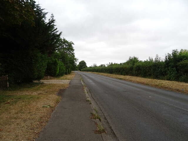
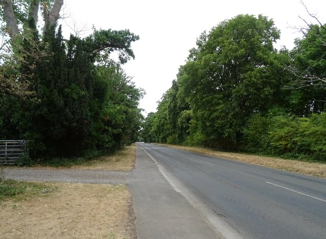
Burcot is a small village located in the county of Oxfordshire, England. Situated about 7 miles south of the city of Oxford, it falls within the district of South Oxfordshire. Burcot is a picturesque village characterized by its rural setting and charming countryside views.
The village is primarily residential, with a population of around 350 residents. Its quaint atmosphere and close-knit community make it an ideal place for those seeking a peaceful and tranquil lifestyle. The architecture in Burcot is diverse, with a mix of traditional cottages, modern houses, and some historic buildings that have been well-preserved over the years.
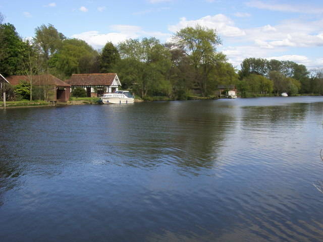
Burcot is surrounded by beautiful natural landscapes, with the River Thames flowing nearby, offering opportunities for leisurely walks and outdoor activities. The village is also close to the Wittenham Clumps, a prominent local landmark and nature reserve, providing scenic views of the surrounding countryside.
Despite its small size, Burcot benefits from good transportation links. The nearby A4074 road provides convenient access to Oxford and Reading, while the village is also served by a regular bus service. For those seeking amenities, the village has a local pub, The Chequers Inn, which serves food and drinks, as well as a village hall that hosts community events.
In summary, Burcot is a charming village in Oxfordshire, known for its peaceful atmosphere, picturesque surroundings, and close-knit community. It offers a perfect balance between rural living and accessibility to nearby towns and cities.
If you have any feedback on the listing, please let us know in the comments section below.
Burcot Images
Images are sourced within 2km of 51.658962/-1.191393 or Grid Reference SU5695. Thanks to Geograph Open Source API. All images are credited.


Burcot is located at Grid Ref: SU5695 (Lat: 51.658962, Lng: -1.191393)
Administrative County: Oxfordshire
District: South Oxfordshire
Police Authority: Thames Valley
What 3 Words
///genetics.risky.patrolled. Near Radley, Oxfordshire
Nearby Locations
Related Wikis
Burcot, Oxfordshire
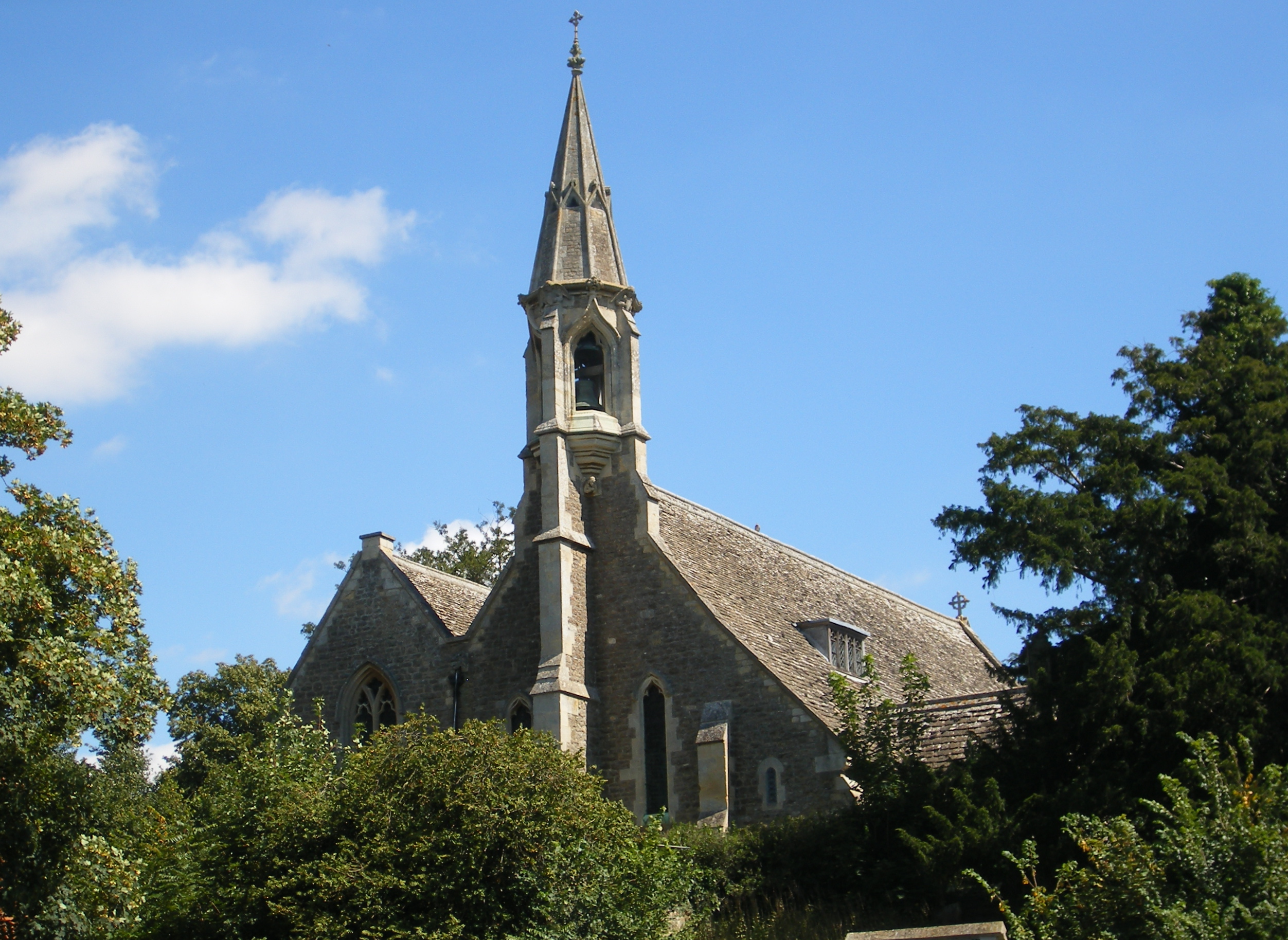
Burcot is a hamlet in the civil parish of Clifton Hampden, in the South Oxfordshire district, in the county of Oxfordshire, England. It is on the left...
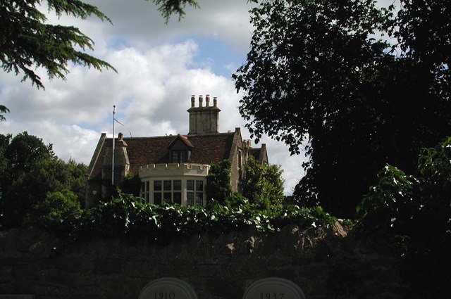
Clifton Hampden Manor
Clifton Hampden Manor is a country house in the village of Clifton Hampden, Oxfordshire, England, overlooking the River Thames. It has been a Grade II...

Berinsfield
Berinsfield is an English village and civil parish in South Oxfordshire, about 7 miles (11 km) southeast of Oxford. The 2011 Census recorded the parish...
Clifton Hampden
Clifton Hampden is a village and civil parish on the north bank of the River Thames, just over 3 miles (5 km) east of Abingdon in Oxfordshire. Since 1932...
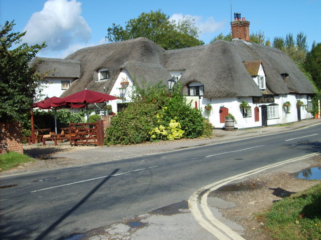
The Barley Mow, Clifton Hampden
The Barley Mow is a historic public house, just south of the River Thames near the bridge at Clifton Hampden, Oxfordshire, England. == Overview == The...
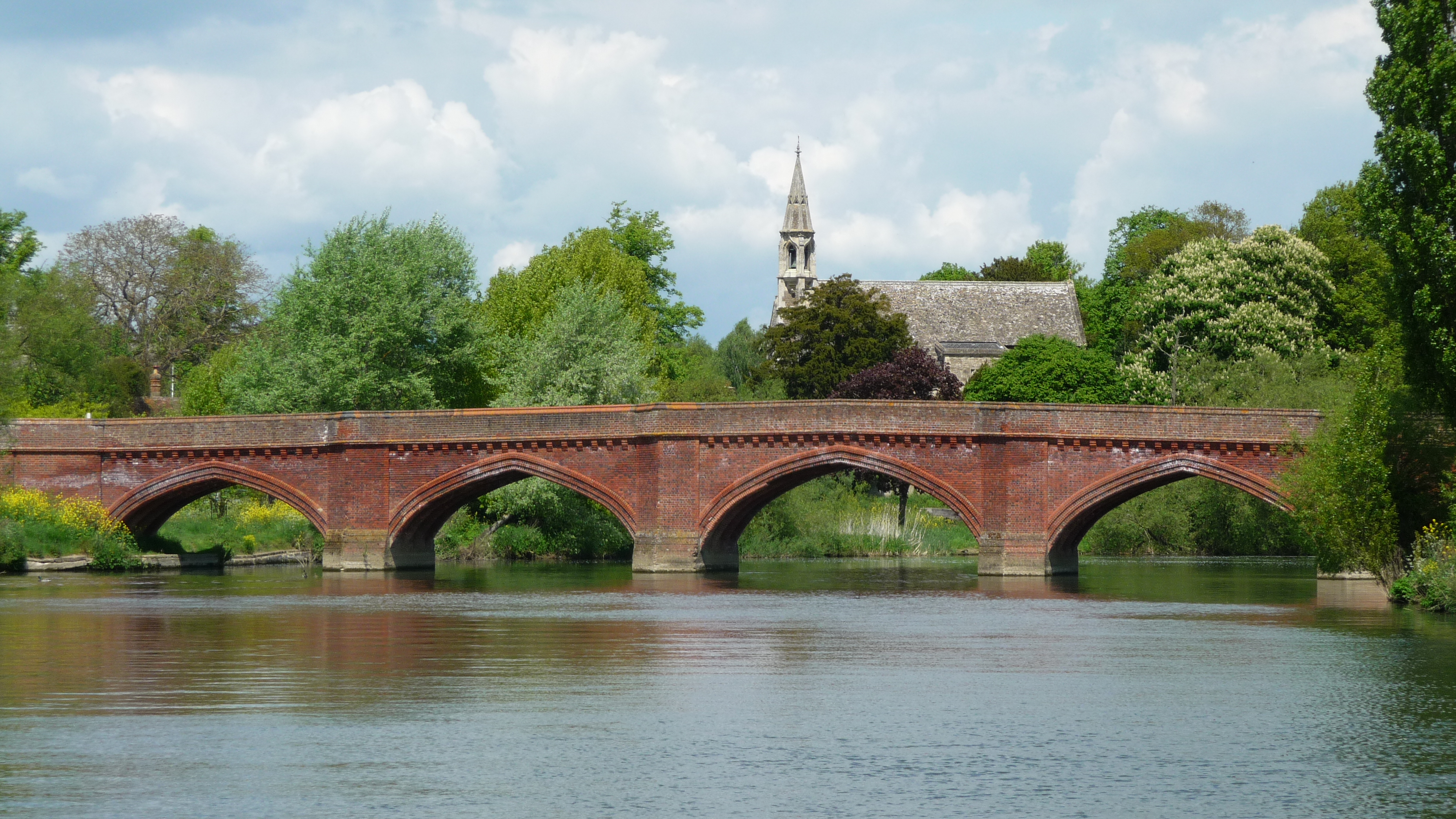
Clifton Hampden Bridge
Clifton Hampden Bridge is a road bridge crossing the River Thames in Clifton Hampden, Oxfordshire, England, situated on the reach below Clifton Lock. Originally...
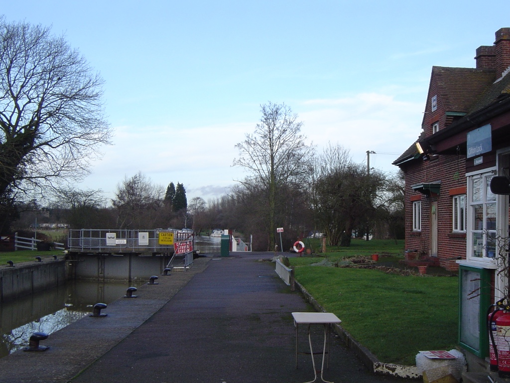
Clifton Lock
Clifton Lock is a lock on River Thames in Oxfordshire, England. It is located south of the village of Clifton Hampden and north of Long Wittenham. It is...

Culham Rural District
Culham was a rural district in Oxfordshire, England, from 1894 to 1932. It was formed under the Local Government Act 1894 from the part of the Abingdon...
Nearby Amenities
Located within 500m of 51.658962,-1.191393Have you been to Burcot?
Leave your review of Burcot below (or comments, questions and feedback).