Burcot

Settlement in Worcestershire Bromsgrove

England

Burcot

Bromsgrove The Bromsgrove Museum in Birmingham Road
Bromsgrove Credit: Rosalind Mitchell

Burcot is a small village located in the county of Worcestershire, England. Situated approximately 4 miles south of the town of Bromsgrove, it lies on the eastern bank of the River Arrow. Burcot is a predominantly residential area, known for its picturesque countryside and tranquil atmosphere.

The village is home to a close-knit community of around 400 residents. The architecture in Burcot mainly consists of traditional English cottages and houses, giving the area a charming and historic feel. Surrounded by lush green fields, the village offers stunning views of the surrounding countryside.

Despite its small size, Burcot offers a range of amenities to its residents. The village has a local pub, The Swan, which dates back to the 18th century and serves as a popular gathering spot for locals and visitors alike. Additionally, there is a village hall that hosts various community events throughout the year.

Nature lovers will find plenty to explore in and around Burcot. The nearby Arrow Valley Country Park offers beautiful walking trails and a large lake, providing opportunities for leisurely strolls and picnics. The village is also within close proximity to the Lickey Hills, a popular spot for hikers and nature enthusiasts.

Burcot benefits from its convenient location, with easy access to nearby towns and cities. The M5 motorway is just a short drive away, offering excellent connectivity to Birmingham, Worcester, and other major urban centers.

Overall, Burcot is a charming village offering a peaceful and idyllic lifestyle, with its picturesque surroundings and strong sense of community.

If you have any feedback on the listing, please let us know in the comments section below.
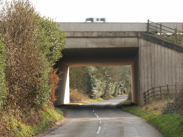
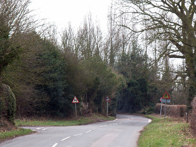
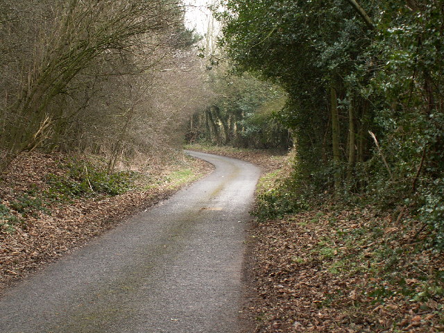
Burcot Images

Images are sourced within 2km of 52.34379/-2.028739 or Grid Reference SO9871. Thanks to Geograph Open Source API. All images are credited.

Bromsgrove The Bromsgrove Museum in Birmingham Road
Bromsgrove
The Bromsgrove Museum in Birmingham Road
Blackwell at the top of the Lickey Incline, looking down towards Bromsgrove, Malverns in the distance The steepness of the incline is exaggerated in this telephoto image, still pretty steep at 1 in 37 for two and a half miles.
Blackwell at the top of the Lickey Incline, looking down towards Bromsgrove, Malverns in the distance
The steepness of the incline is exaggerated in this telephoto image, still pretty steep at 1 in 37 for two and a half miles.
Caspidge Hill top used by a scout camp. Exercise apparatus and a beacon on the summit of the hill visible behind the pillar.
Caspidge
Hill top used by a scout camp. Exercise apparatus and a beacon on the summit of the hill visible behind the pillar.
Motorway bridge over Littleheath Lane Carrying the M42. This bridge is at the south west corner of the square.
Motorway bridge over Littleheath Lane
Carrying the M42. This bridge is at the south west corner of the square.
Road junction east of Lickey End The junction of Littleheath Lane with Lower Shepley Lane, looking south west.
Road junction east of Lickey End
The junction of Littleheath Lane with Lower Shepley Lane, looking south west.
Dale Lane, Apes Dale Looking east from just past Upper Shepley Farm. The peace of this otherwise quiet country lane is disturbed by the M42 which runs roughly parallel 200m further north.
Dale Lane, Apes Dale
Looking east from just past Upper Shepley Farm. The peace of this otherwise quiet country lane is disturbed by the M42 which runs roughly parallel 200m further north.
M42 between junctions 1-2 Photo taken from the Linthurst Road bridge, looking east.
M42 between junctions 1-2
Photo taken from the Linthurst Road bridge, looking east.
Cross Inn, Finstall
Cross Inn, Finstall
Townend Veterinary Practice A recently much enlarged clinic at the junction with the Bromsgrove Bypass.
Townend Veterinary Practice
A recently much enlarged clinic at the junction with the Bromsgrove Bypass.
Gates to the former Mount School The Mount School was situated at the junction of the Birmingham Road and the Bromsgrove bypass.  It was an Independent Non Denominational Primary School and operated from 1957 to 2004.  The premises were then used by the safety training company KeyOstas, part of whose name sign can be seen at the right-hand edge of the image.
Gates to the former Mount School
The Mount School was situated at the junction of the Birmingham Road and the Bromsgrove bypass. It was an Independent Non Denominational Primary School and operated from 1957 to 2004. The premises were then used by the safety training company KeyOstas, part of whose name sign can be seen at the right-hand edge of the image.
Bromsgrove bypass road junction A chestnut showing that spring is in the air at the junction of Bromsgrove bypass with the Birmingham Road, Bromsgrove.
Bromsgrove bypass road junction
A chestnut showing that spring is in the air at the junction of Bromsgrove bypass with the Birmingham Road, Bromsgrove.
Birmingham Road Shops, Bromsgrove A shop development from the 1920s or 30s beside the Birmingham Road, Bromsgrove.
Birmingham Road Shops, Bromsgrove
A shop development from the 1920s or 30s beside the Birmingham Road, Bromsgrove.
Hop Pole Inn A traditional street corner pub in the Birmingham Road, Bromsgrove.
Hop Pole Inn
A traditional street corner pub in the Birmingham Road, Bromsgrove.
Former Chapel, Bromsgrove Built in 1861 according to the <a href="https://www.geograph.org.uk/photo/218623">SO9671 : Plaque on former chapel</a> wall, this building is situated in Birmingham Road
Former Chapel, Bromsgrove
Built in 1861 according to the SO9671 : Plaque on former chapel wall, this building is situated in Birmingham Road
Finstall - Railway Bridge over Alcester Road Photo taken looking towards Bromsgrove.
Finstall - Railway Bridge over Alcester Road
Photo taken looking towards Bromsgrove.
Finstall - "Fairlawn" An elegant old house beside the railway bridge over Alcester Road.
Finstall - "Fairlawn"
An elegant old house beside the railway bridge over Alcester Road.
Farm track
Farm track
Field to the north of Burcot Lane Rough pasture indeed...
Field to the north of Burcot Lane
Rough pasture indeed...
Show me another place!

Burcot is located at Grid Ref: SO9871 (Lat: 52.34379, Lng: -2.028739)

Administrative County: Worcestershire

District: Bromsgrove

Police Authority: West Mercia

What 3 Words

///shovels.link.moon. Near Bromsgrove, Worcestershire

Nearby Locations

Burcot

Related Wikis

Burcot, Worcestershire

Burcot is a small village in the Bromsgrove district of Worcestershire. Burcot has a village hall, which is available for hire. It has a garden centre...
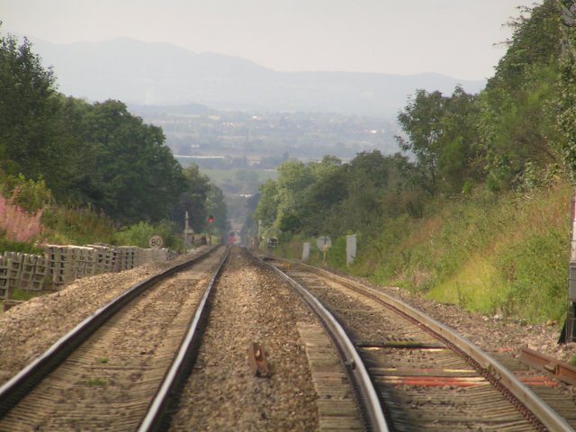
Lickey Incline

The Lickey Incline, south of Birmingham, is the steepest sustained main-line railway incline in Great Britain. The climb is a gradient of 1 in 37.7 (2...

Blackwell railway station

Blackwell railway station was a railway station serving Blackwell in the English county of Worcestershire. == History == It was opened by the Birmingham...

Blackwell, Worcestershire

Blackwell is a village located in the North-East of Worcestershire and comes under the jurisdiction of Lickey and Blackwell Parish Council. Nearby large...

Apes Dale

Apes Dale is a hamlet situated in the parish of Lickey and Blackwell, in the Bromsgrove district of Worcestershire, England. == References ==

Blackwell Golf Club

Blackwell Golf Club is a golf club situated in the village of Blackwell near Bromsgrove, Worcestershire, England. It has been host to regional qualifying...

Lickey End

Lickey End is a village in the Bromsgrove district of Worcestershire, England. It is situated just north of Bromsgrove, to the south-east of the junction...

1997 M42 motorway crash

On 10 March 1997 a multiple-vehicle collision occurred on the M42 motorway near Bromsgrove, Worcestershire, in central England. Three people were killed...

Nearby Amenities

Located within 500m of 52.34379,-2.028739
Mini Roundabout
Source: bing
Lat/Long: 52.3430128/-2.0256941
Bus Stop
Alcester Road
Bus: yes
Naptan AtcoCode: 2000G028800
Naptan Bearing: NE
Naptan CommonName: Greenhill near Alcester Road
Naptan Crossing: Alcester Road
Naptan Indicator: Opp
Naptan NaptanCode: wocdpgdw
Naptan Street: Greenhill
Naptan Verified: no
Public Transport: platform
Source: naptan_import
Lat/Long: 52.3434433/-2.0250279
Bus Stop
Village Hall
Bus: yes
Naptan AtcoCode: 2000G52781A
Naptan Bearing: E
Naptan CommonName: Alcester Road
Naptan Indicator: Eastbound
Naptan NaptanCode: wocdtgjp
Naptan PlusbusZoneRef: BRMSGRV
Naptan Street: Alcester Road
Naptan Verified: no
Public Transport: platform
Source: naptan_import
Lat/Long: 52.3430925/-2.0297037
Bus Stop
Village Hall
Bus: yes
Naptan AtcoCode: 2000G52782A
Naptan Bearing: W
Naptan CommonName: Alcester Road
Naptan Indicator: Westbound
Naptan NaptanCode: wocdtgjt
Naptan PlusbusZoneRef: BRMSGRV
Naptan Street: Alcester Road
Naptan Verified: no
Public Transport: platform
Source: naptan_import
Lat/Long: 52.3429784/-2.0296595
Bus Stop
Greenhill
Bus: yes
Naptan AtcoCode: 2000G52783A
Naptan Bearing: W
Naptan CommonName: Alcester Road near Greenhill
Naptan Crossing: Greenhill
Naptan Indicator: Opp
Naptan NaptanCode: wocdtgjw
Naptan PlusbusZoneRef: BRMSGRV
Naptan Street: Alcester Road
Naptan Verified: no
Public Transport: platform
Source: naptan_import
Lat/Long: 52.3428584/-2.0264631
Burcot
Place: village
Wikidata: Q4998232
Lat/Long: 52.3433197/-2.0296067
Power: pole
Source: bing
Lat/Long: 52.3462466/-2.0328825
Power: pole
Source: bing
Lat/Long: 52.3465491/-2.032171
Power: pole
Source: bing
Lat/Long: 52.3469583/-2.0312196
Power: pole
Source: bing
Lat/Long: 52.3474089/-2.0301328
Power: pole
Source: bing
Lat/Long: 52.3482081/-2.0282431
Telephone
Booth: K6
Covered: booth
Lat/Long: 52.3429003/-2.028115
Clock
Display: analog
Support: wall_mounted
Lat/Long: 52.3427995/-2.0281234
Defibrillator
Addr Postcode: B60 1BH
Defibrillator Location: outside Burcot Village Hall
Emergency: defibrillator
Indoor: no
Ref: 4419
Lat/Long: 52.3427911/-2.0281989
The data included in this document is from www.openstreetmap.org. The data is made available under ODbL.

Have you been to Burcot?

Leave your review of Burcot below (or comments, questions and feedback).