Allt y Clun

Wood, Forest in Pembrokeshire

Wales

Allt y Clun

Clapper Footbridge and Weir On the Afon Gammam
Clapper Footbridge and Weir Credit: Kevin Waterhouse

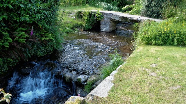
Allt y Clun is a picturesque woodland area located in Pembrokeshire, Wales. Covering an area of approximately 100 acres, it is known for its diverse range of trees and natural beauty. The woodland is situated near the village of Rosebush, nestled within the Preseli Hills.

The landscape of Allt y Clun is characterized by rolling hills, deep valleys, and a meandering river that adds to its charm. The woodland is primarily made up of native trees such as oak, ash, birch, and hazel, creating a rich and vibrant ecosystem. These trees provide an important habitat for a variety of wildlife including birds, small mammals, and insects.

Visitors to Allt y Clun can enjoy a range of activities such as walking, hiking, and nature exploration. There are several well-maintained trails that wind their way through the woodland, offering breathtaking views of the surrounding countryside. The peaceful atmosphere and tranquil surroundings make it an ideal spot for nature lovers and those seeking a quiet retreat.

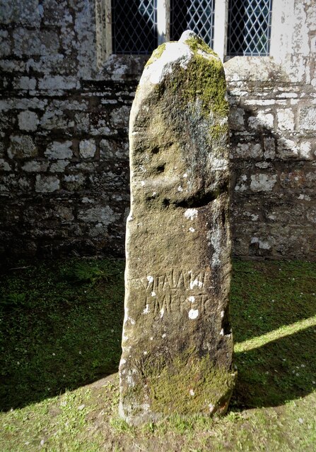
Allt y Clun is also steeped in history, with evidence of human activity dating back thousands of years. The area was once home to ancient settlements, and remnants of stone circles and burial mounds can still be found within the woodland. These historical sites add an extra layer of fascination to the natural beauty of Allt y Clun.

Overall, Allt y Clun is a haven of natural beauty, offering visitors a chance to immerse themselves in the stunning Welsh countryside and explore the rich history of the area.

If you have any feedback on the listing, please let us know in the comments section below.
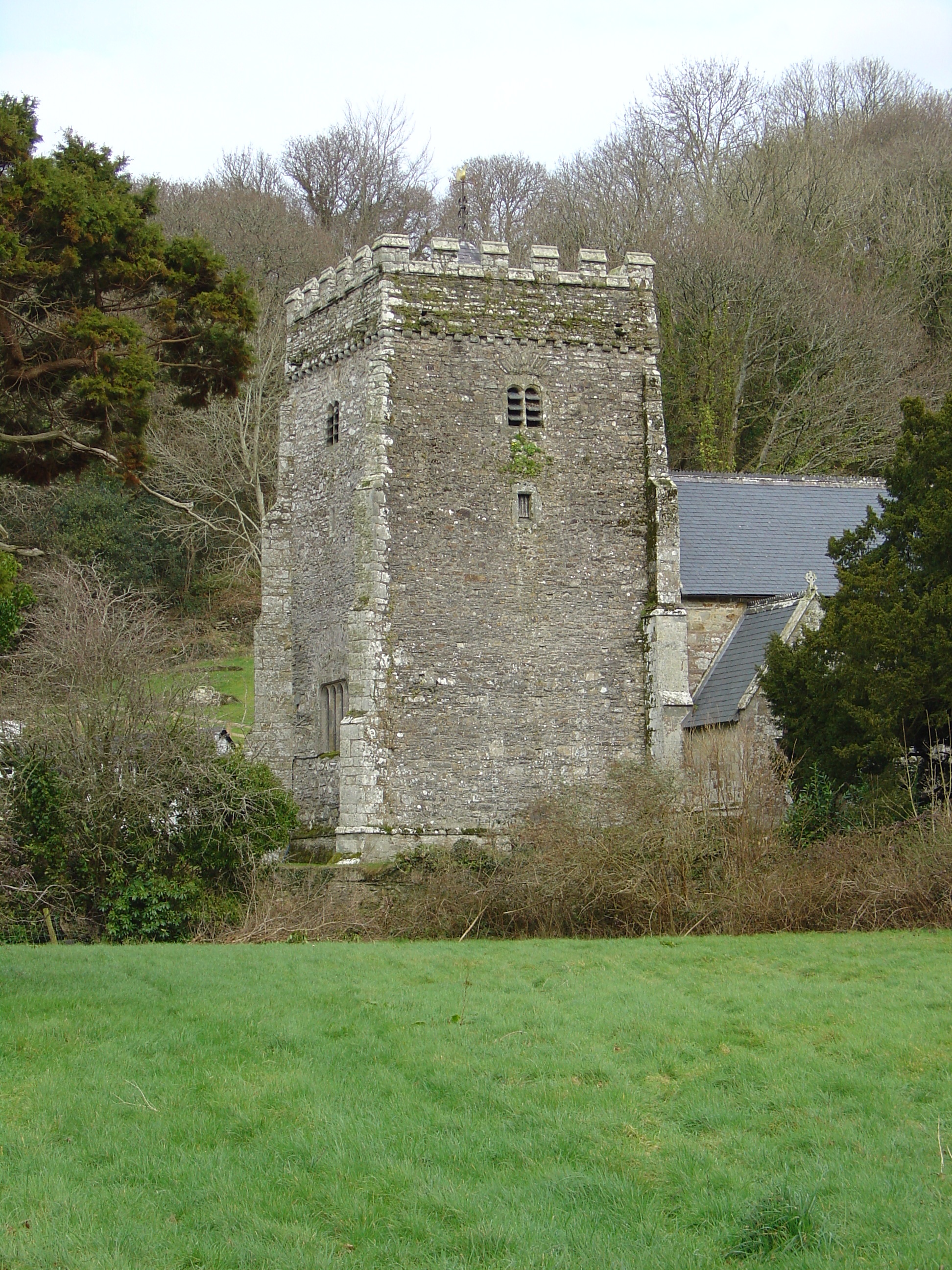
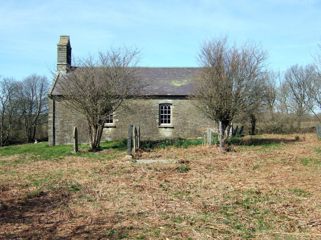
Allt y Clun Images

Images are sourced within 2km of 52.028519/-4.7899455 or Grid Reference SN0840. Thanks to Geograph Open Source API. All images are credited.

Clapper Footbridge and Weir On the Afon Gammam
Clapper Footbridge and Weir
On the Afon Gammam
Church of St Brynach The west tower
Church of St Brynach
The west tower
Vitalianus Inscribed Stone A gravestone or memorial? By the porch of Church of St Brynach
Vitalianus Inscribed Stone
A gravestone or memorial? By the porch of Church of St Brynach
Graves in Nevern churchyard
St Brynach's Church, Nevern, Pembrokeshire There has been a religious establishment on this site since the 5th century. Lots more information can be found at <span class="nowrap"><a title="https://www.nevern-church.org.uk/ancient-modern/" rel="nofollow ugc noopener" href="https://www.nevern-church.org.uk/ancient-modern/">Link</a><img style="margin-left:2px;" alt="External link" title="External link - shift click to open in new window" src="https://s1.geograph.org.uk/img/external.png" width="10" height="10"/></span>.
St Brynach's Church, Nevern, Pembrokeshire
There has been a religious establishment on this site since the 5th century. Lots more information can be found at LinkExternal link.
St Brynach's Church, Nevern (interior) Although the church is old the interior is Victorian.
St Brynach's Church, Nevern (interior)
Although the church is old the interior is Victorian.
Pulpit and quire of St Brynach's Church, Nevern
18th century memorial stone to Katherine Warren St Brynach's Church, Nevern.
18th century memorial stone to Katherine Warren
St Brynach's Church, Nevern.
Stone bridge over a stream, next to St Brynach's Church, Nevern
St Brynach's Church, Nevern from across the water meadow
Earthworks of Castell Nanhyfer seen through the trees Above Nevern, Pembrokeshire.
Earthworks of Castell Nanhyfer seen through the trees
Above Nevern, Pembrokeshire.
Graves in Nevern churchyard
A Bleeding Yew, Nevern Churchyard These ancient yew trees (Taxus Baccata) are believed to be some 700 years old. It is not unusual for a tree to produce sap where it may have been damaged but generally such sap dries up quite quickly.
A Bleeding Yew, Nevern Churchyard
These ancient yew trees (Taxus Baccata) are believed to be some 700 years old. It is not unusual for a tree to produce sap where it may have been damaged but generally such sap dries up quite quickly.
Porch and tower, St Brynach's Church, Nevern
10th Century Celtic Cross, St Brynach's Church, Nevern
Pilgrims' cross in rock wall, near Nevern
Graves on the hillside, St Brynach's Church, Nevern
St Brynach's Church, Nevern (interior)
Show me another place!

Allt y Clun is located at Grid Ref: SN0840 (Lat: 52.028519, Lng: -4.7899455)

Unitary Authority: Pembrokeshire

Police Authority: Dyfed Powys

What 3 Words

///slugs.scoring.cherish. Near Nevern, Pembrokeshire

Related Wikis

Nevern Bridge

Nevern Bridge (Welsh: Pont Nanhyfer) spans the River Nevern (Welsh: Afon Nyfer) in the centre of Nevern, Pembrokeshire, Wales. This Grade II listed bridge...

Nevern

Nevern (Welsh: Nanhyfer) is both a parish and a community in Pembrokeshire, Wales. The community includes the settlements of Felindre Farchog, Monington...

Bayvil

Bayvil (Welsh: Y Beifil) is a hamlet and parish in Pembrokeshire, Wales. It is situated in the north of the county, 5 kilometres (3.1 mi) east of Newport...

St Andrew's Church, Bayvil

St Andrew's Church, Bayvil, is a redundant church standing in an isolated position in the hamlet of Bayvil, some 2 kilometres (1.2 mi) to the northeast...

Nearby Amenities

Located within 500m of 52.028519,-4.7899455
Vitalianus Stone
Alt Name: Vitalinus Stone
Description: Stone with Ogham and Latin inscription.
Height: 1.5
Heritage: 2
Heritage Operator: cadw
Historic: memorial
Inscription: VITALIANI EMERETO
Material: stone
Memorial: stone
Ref Cadw: PE151
Wikimedia Commons: File:Vitalinus stone, Nevern - geograph.org.uk - 29468.jpg
Lat/Long: 52.0254004/-4.7952027
Description: Celtic cross dating to the 10th century. A scheduled monument.
Heritage: 2
Heritage Operator: cadw
Historic: wayside_cross
Inscription: "dns" on one side, "h.an.eh" on the other side.
Ref Cadw: PE164
Religion: christian
Start Date: C10
Wikimedia Commons: File:Nanhyfer (Nevern) - 10th century Celtic Cross - Flickr - S. Rae.jpg
Lat/Long: 52.0253976/-4.7951077
Parking
Parking: layby
Lat/Long: 52.0254333/-4.793699
Leisure: picnic_table
Lat/Long: 52.0253407/-4.7937275
Tourism: picnic_site
Lat/Long: 52.0252774/-4.7935268
The data included in this document is from www.openstreetmap.org. The data is made available under ODbL.

Have you been to Allt y Clun?

Leave your review of Allt y Clun below (or comments, questions and feedback).