Allt y Chwarel
Wood, Forest in Pembrokeshire
Wales
Allt y Chwarel
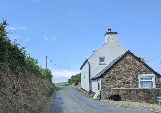
Allt y Chwarel, located in Pembrokeshire, Wales, is a picturesque woodland area known for its natural beauty and rich history. The name "Allt y Chwarel" translates to "Wood, Forest" in English, which accurately describes the landscape of this enchanting place.
Covering an area of approximately 100 acres, Allt y Chwarel is characterized by its diverse range of trees, including oak, beech, and ash. The woodland is home to a variety of wildlife, making it a haven for nature enthusiasts and birdwatchers. Visitors to the area may have the opportunity to spot species such as red kites, buzzards, and woodpeckers.
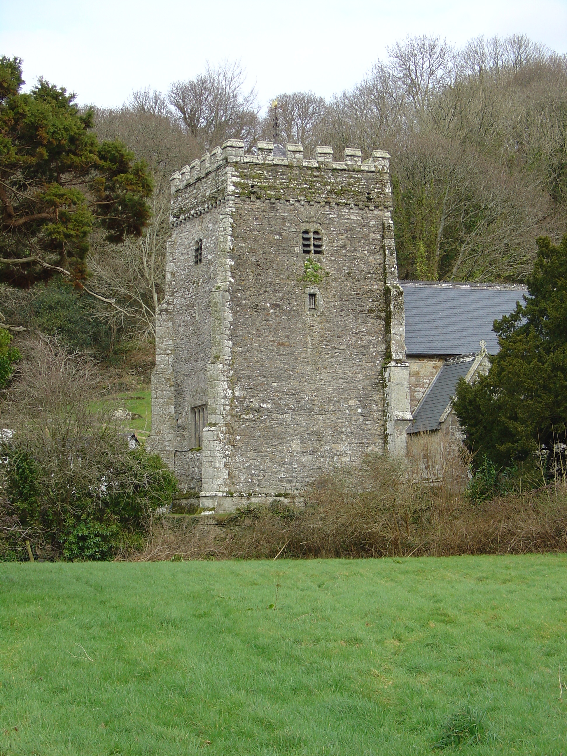
Beyond its natural offerings, Allt y Chwarel boasts a fascinating history. The woodland was once an important site for quarrying, with evidence of slate and limestone extraction dating back to the 19th century. Remnants of old quarry buildings and machinery can still be seen throughout the area, adding a touch of industrial heritage to the landscape.
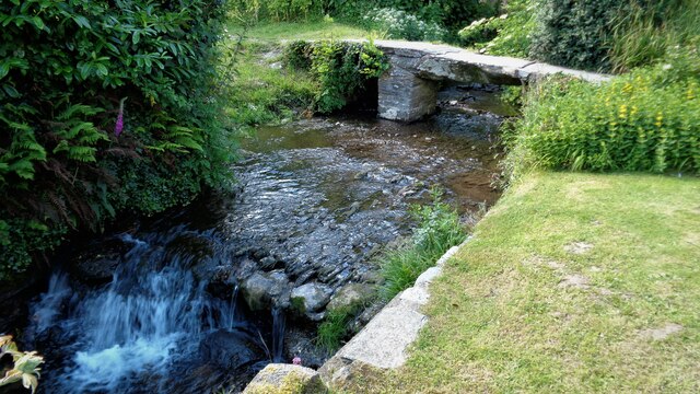
For those seeking outdoor activities, Allt y Chwarel offers a network of walking trails, providing opportunities to explore the woodlands and enjoy the tranquil ambiance. The paths wind through the trees, offering glimpses of breathtaking views and a chance to reconnect with nature.
Allt y Chwarel is a hidden gem in Pembrokeshire, providing a peaceful retreat for those looking to immerse themselves in the beauty of nature and uncover the secrets of its intriguing past.
If you have any feedback on the listing, please let us know in the comments section below.
Allt y Chwarel Images
Images are sourced within 2km of 52.025462/-4.7993915 or Grid Reference SN0840. Thanks to Geograph Open Source API. All images are credited.


Allt y Chwarel is located at Grid Ref: SN0840 (Lat: 52.025462, Lng: -4.7993915)
Unitary Authority: Pembrokeshire
Police Authority: Dyfed Powys
What 3 Words
///jumps.brimmed.data. Near Nevern, Pembrokeshire
Nearby Locations
Related Wikis

Nevern Bridge
Nevern Bridge (Welsh: Pont Nanhyfer) spans the River Nevern (Welsh: Afon Nyfer) in the centre of Nevern, Pembrokeshire, Wales. This Grade II listed bridge...
Nevern
Nevern (Welsh: Nanhyfer) is both a parish and a community in Pembrokeshire, Wales. The community includes the settlements of Felindre Farchog, Monington...

Felin Llwyngwair
Felin Llwyngwair is a Site of Special Scientific Interest (or SSSI) near Newport in Pembrokeshire, South Wales. It was designated a SSSI (ID2580, code...
Bayvil
Bayvil (Welsh: Y Beifil) is a hamlet and parish in Pembrokeshire, Wales. It is situated in the north of the county, 5 kilometres (3.1 mi) east of Newport...

Carreg Coetan Arthur
Carreg Coetan Arthur is a neolithic dolmen near Newport in North Pembrokeshire, Wales.Carreg Coetan Arthur dates from around 3000 BC and is the remains...
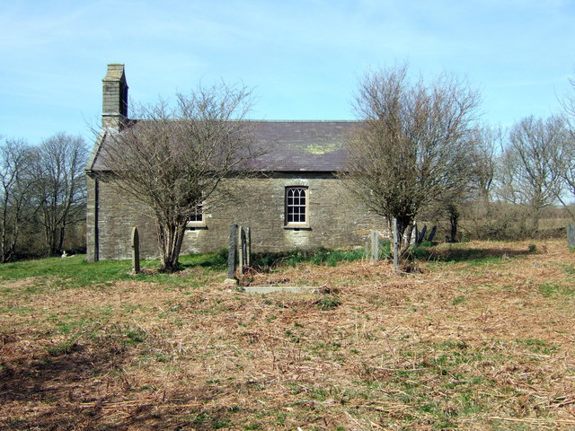
St Andrew's Church, Bayvil
St Andrew's Church, Bayvil, is a redundant church standing in an isolated position in the hamlet of Bayvil, some 2 kilometres (1.2 mi) to the northeast...

Felindre Farchog
Felindre Farchog (; rough English translation: mill village of the knight, or horseman) is a small village in the community of Nevern in Pembrokeshire...

Cnapan Hotel
Cnapan, also known variously as Cnapan Country House or Cnapan Restaurant and Bed & Breakfast, is a Grade II listed hotel and restaurant in Newport, Pembrokeshire...
Nearby Amenities
Located within 500m of 52.025462,-4.7993915Have you been to Allt y Chwarel?
Leave your review of Allt y Chwarel below (or comments, questions and feedback).