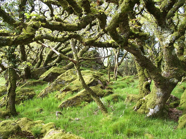
Allt Ysgarwen

Wood, Forest in Pembrokeshire

Wales

Allt Ysgarwen

Waun Mawn Standing Stones A group of prehistoric standing stones which may have once formed part of a stone circle <span class="nowrap"><a title="https://www.megalithic.co.uk/article.php?sid=1340" rel="nofollow ugc noopener" href="https://www.megalithic.co.uk/article.php?sid=1340">Link</a><img style="margin-left:2px;" alt="External link" title="External link - shift click to open in new window" src="https://s1.geograph.org.uk/img/external.png" width="10" height="10"/></span>
Waun Mawn Standing Stones Credit: Sandy Gerrard

The requested URL returned error: 429 Too Many Requests

If you have any feedback on the listing, please let us know in the comments section below.

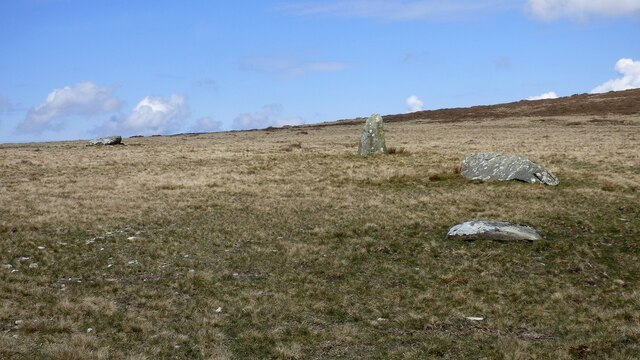
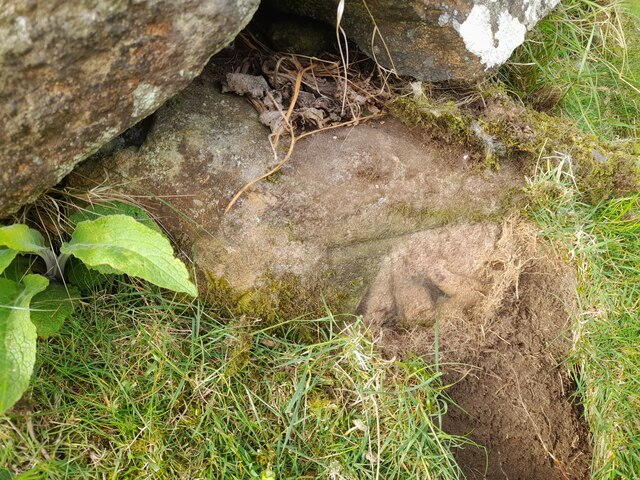
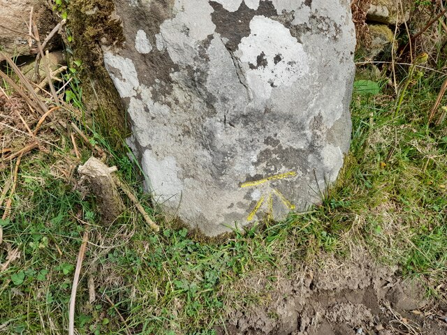
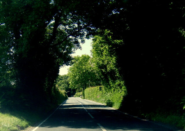
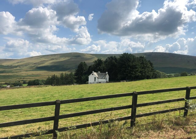
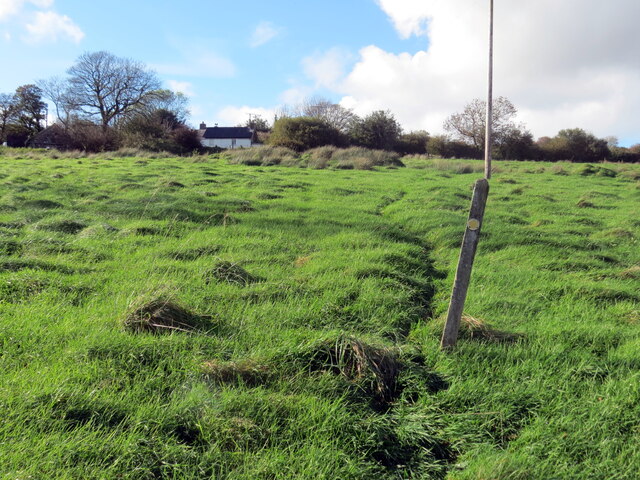
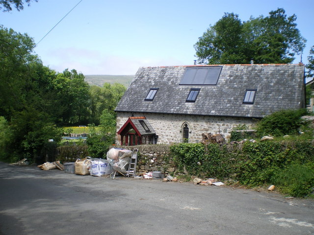
Allt Ysgarwen Images

Images are sourced within 2km of 51.986212/-4.7998985 or Grid Reference SN0735. Thanks to Geograph Open Source API. All images are credited.

Waun Mawn Standing Stones A group of prehistoric standing stones which may have once formed part of a stone circle <span class="nowrap"><a title="https://www.megalithic.co.uk/article.php?sid=1340" rel="nofollow ugc noopener" href="https://www.megalithic.co.uk/article.php?sid=1340">Link</a><img style="margin-left:2px;" alt="External link" title="External link - shift click to open in new window" src="https://s1.geograph.org.uk/img/external.png" width="10" height="10"/></span>
Waun Mawn Standing Stones
A group of prehistoric standing stones which may have once formed part of a stone circle LinkExternal link
Mountain ponies on Waun Mawn The peak to the left is Carn Ingli about 2.5 miles away, with Newport Bay barely visible through the mist.
Mountain ponies on Waun Mawn
The peak to the left is Carn Ingli about 2.5 miles away, with Newport Bay barely visible through the mist.
Ordnance Survey Cut Mark This OS cut mark can be found on the wall next to the gateway. It marks a point 627.4ft above mean sea level.
Ordnance Survey Cut Mark
This OS cut mark can be found on the wall next to the gateway. It marks a point 627.4ft above mean sea level.
Ordnance Survey Cut Mark This OS cut mark can be found on a large stone west side of the road. It marks a point 579.1ft above mean sea level.
Ordnance Survey Cut Mark
This OS cut mark can be found on a large stone west side of the road. It marks a point 579.1ft above mean sea level.
B4329 west of Brynberian
Pennant Isaf South-west of Brynberian
Pennant Isaf
South-west of Brynberian
Moorland above Tafarn-y-bwlch View from road towards Gernos-fach; the rock on the skyline is Carn Ingli, Mynydd Carningli.
Moorland above Tafarn-y-bwlch
View from road towards Gernos-fach; the rock on the skyline is Carn Ingli, Mynydd Carningli.
Llwybr Penparce / Penparce path Llwybr troed cyhoeddus yn mynd i gyfeiriad anhedd-dy o'r ene Penparce.

A public footpath heading in the direction of a property known as Penparce (trans. top of the fields).
Llwybr Penparce / Penparce path
Llwybr troed cyhoeddus yn mynd i gyfeiriad anhedd-dy o'r ene Penparce. A public footpath heading in the direction of a property known as Penparce (trans. top of the fields).
Fox cub in the lane I was walking up the lane and became aware of 'barking' ahead of me and looked up to see a puzzled brown face looking up at me from ten feet away. "Funny cat - dog" I thought - "Fox!" and smilingly fumbled for my camera during which time he or she turned tail, still emitting little 'barks' and ran back up the lane to this point, from where he / she climbed the bank on a well used fox path and ran up into the wood, still calling. From behind a tree bole a smug adult foxy face looked back at me and I again raised my camera and zoomed in, starting to depress the 'shutter' only to see a red bushy brush disappear deeper into the wood, leaving me laughing and foolish below.
Fox cub in the lane
I was walking up the lane and became aware of 'barking' ahead of me and looked up to see a puzzled brown face looking up at me from ten feet away. "Funny cat - dog" I thought - "Fox!" and smilingly fumbled for my camera during which time he or she turned tail, still emitting little 'barks' and ran back up the lane to this point, from where he / she climbed the bank on a well used fox path and ran up into the wood, still calling. From behind a tree bole a smug adult foxy face looked back at me and I again raised my camera and zoomed in, starting to depress the 'shutter' only to see a red bushy brush disappear deeper into the wood, leaving me laughing and foolish below.
Trig on Carnedd Meibion-Owen Looking WNW towards the summit area of Mynydd Carningli in <a href="https://www.geograph.org.uk/gridref/SN0637">SN0637</a>
Trig on Carnedd Meibion-Owen
Looking WNW towards the summit area of Mynydd Carningli in SN0637
Detail of trig on Carnedd Meibion-Owen
The 'carns' on the summit 3 of the 4 carns on the summit of Carnedd Meibion-Owen (had to stand on the southern-most one to get a view of the others)
The 'carns' on the summit
3 of the 4 carns on the summit of Carnedd Meibion-Owen (had to stand on the southern-most one to get a view of the others)
Penparke standing stones The two stones at Penparke lie in a field, about 60 or 70 yards from the roadside. The field was being actively mown for silage as I rode past, so I couldn't get any closer to the stones than the edge of the mown bit, for fear of a 'Get off my land!' from the chap on the tractor next time he came round.
Penparke standing stones
The two stones at Penparke lie in a field, about 60 or 70 yards from the roadside. The field was being actively mown for silage as I rode past, so I couldn't get any closer to the stones than the edge of the mown bit, for fear of a 'Get off my land!' from the chap on the tractor next time he came round.
Trebwlch farm The farm nestles low on the hillside, below road level, and almost hidden by surrounding trees.
Trebwlch farm
The farm nestles low on the hillside, below road level, and almost hidden by surrounding trees.
Cilgwyn chapel - post renovation & conversion The old chapel at the roadside near Cilgwyn, now converted to a house since <a href="https://www.geograph.org.uk/photo/645410">SN0735 : Cilgwyn Chapel</a> and <a href="https://www.geograph.org.uk/photo/294774">SN0735 : St Mary's Church, Cilgwyn</a> were taken.
Cilgwyn chapel - post renovation & conversion
The old chapel at the roadside near Cilgwyn, now converted to a house since SN0735 : Cilgwyn Chapel and SN0735 : St Mary's Church, Cilgwyn were taken.
Trefach Farm
Trefach Farm
Farm buildings at Trefach
Trefach standing stone / menhir A full description and history is at <a href="https://www.geograph.org.uk/photo/294762">SN0635 : Trefach menhir</a>; the Coflein database lists it as the Y Garreg-Hir stone, at <span class="nowrap"><a title="http://www.coflein.gov.uk/en/site/304309/details/Y+GARREG-HIR%3BTRE-FACH+STONE/" rel="nofollow ugc noopener" href="http://www.coflein.gov.uk/en/site/304309/details/Y+GARREG-HIR%3BTRE-FACH+STONE/">Link</a><img style="margin-left:2px;" alt="External link" title="External link - shift click to open in new window" src="https://s1.geograph.org.uk/img/external.png" width="10" height="10"/></span>
Trefach standing stone / menhir
A full description and history is at SN0635 : Trefach menhir; the Coflein database lists it as the Y Garreg-Hir stone, at LinkExternal link
Show me another place!

Allt Ysgarwen is located at Grid Ref: SN0735 (Lat: 51.986212, Lng: -4.7998985)

Unitary Authority: Pembrokeshire

Police Authority: Dyfed Powys

What 3 Words

///tram.likewise.manager. Near Newport, Pembrokeshire

Related Wikis

Gallt Llanerch - Coed Gelli-deg

Gallt Llanerch - Coed Gelli-deg is a Site of Special Scientific Interest (or SSSI) in the Gwaun Valley, Pembrokeshire, South Wales. It has been designated...

Tŷ Canol National Nature Reserve

Tŷ Canol National Nature Reserve is a national nature reserve which lies south of the village of Felindre Farchog, Pembrokeshire, Wales, between the Preseli...
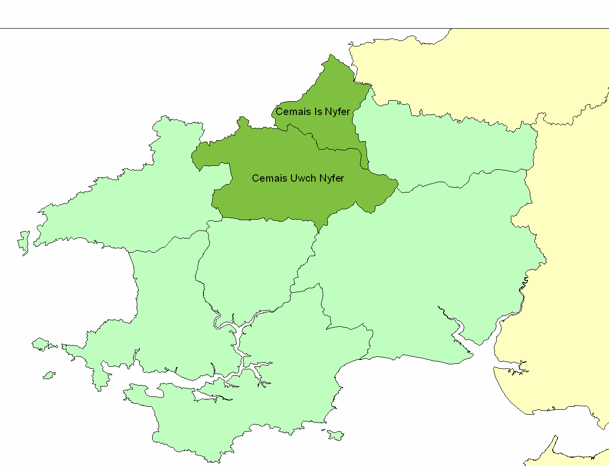
Cemais (Dyfed)

Cemais (sometimes spelled Kemes after one of the several variations found in Medieval orthography) was an ancient cantref of the Kingdom of Dyfed, from...

Brithdir Mawr

Brithdir Mawr is an intentional community in Pembrokeshire, South Wales. == Community == The community is based on an 80 acres (32 ha) farm. It is currently...

Nearby Amenities

Located within 500m of 51.986212,-4.7998985
Give Way
Direction: forward
Lat/Long: 51.9891424/-4.8045445
The data included in this document is from www.openstreetmap.org. The data is made available under ODbL.

Have you been to Allt Ysgarwen?

Leave your review of Allt Ysgarwen below (or comments, questions and feedback).