Allt-y-cwmins

Wood, Forest in Pembrokeshire

Wales

Allt-y-cwmins

Mountain ponies on Waun Mawn The peak to the left is Carn Ingli about 2.5 miles away, with Newport Bay barely visible through the mist.
Mountain ponies on Waun Mawn Credit: Alan Hughes

Allt-y-cwmins, located in Pembrokeshire, Wales, is a picturesque woodland area renowned for its natural beauty and diverse wildlife. Spanning approximately 100 acres, this enchanting forest is a haven for nature lovers and outdoor enthusiasts alike.

The woodland, which derives its name from the Welsh language meaning "Wood of the Hollow," is characterized by its rich and varied flora and fauna. Visitors can expect to find a wide range of tree species, including oak, beech, birch, and ash, creating a lush and verdant landscape. The forest floor is carpeted with a vibrant array of wildflowers, such as bluebells, primroses, and foxgloves, adding to the area's charm.

Allt-y-cwmins is home to an abundance of wildlife, making it an ideal spot for birdwatchers and nature photographers. Bird species that can be spotted here include thrushes, woodpeckers, owls, and various species of warblers. The forest is also inhabited by mammals such as badgers, foxes, and deer, adding to the area's natural allure.

For outdoor enthusiasts, Allt-y-cwmins offers a network of well-maintained trails and footpaths that wind their way through the woodland, providing opportunities for scenic hikes and leisurely walks. These paths lead visitors to beautiful viewpoints, where they can enjoy panoramic vistas of the surrounding countryside.

Allt-y-cwmins is a true gem of Pembrokeshire, providing a peaceful and idyllic escape into nature. Whether you are seeking tranquility, wildlife encounters, or simply a chance to immerse yourself in the beauty of the natural world, this enchanting forest is sure to captivate visitors of all ages.

If you have any feedback on the listing, please let us know in the comments section below.

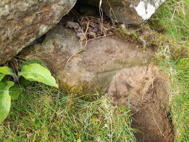
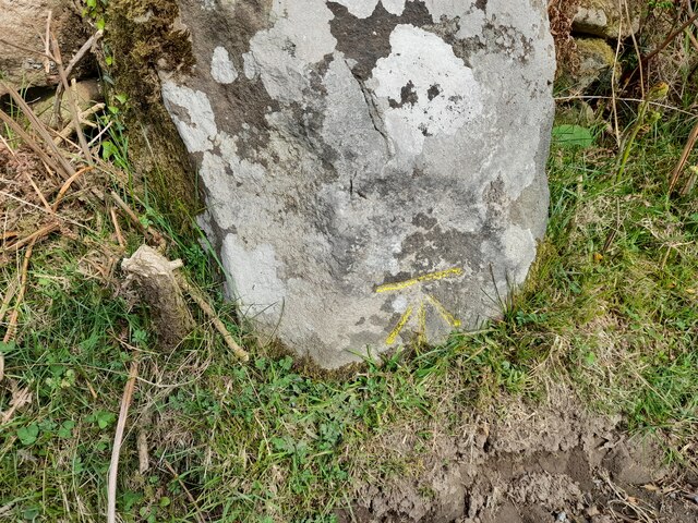
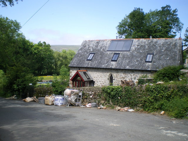
Allt-y-cwmins Images

Images are sourced within 2km of 51.987631/-4.8116692 or Grid Reference SN0735. Thanks to Geograph Open Source API. All images are credited.

Mountain ponies on Waun Mawn The peak to the left is Carn Ingli about 2.5 miles away, with Newport Bay barely visible through the mist.
Mountain ponies on Waun Mawn
The peak to the left is Carn Ingli about 2.5 miles away, with Newport Bay barely visible through the mist.
Ordnance Survey Cut Mark This OS cut mark can be found on the wall next to the gateway. It marks a point 627.4ft above mean sea level.
Ordnance Survey Cut Mark
This OS cut mark can be found on the wall next to the gateway. It marks a point 627.4ft above mean sea level.
Ordnance Survey Cut Mark This OS cut mark can be found on a large stone west side of the road. It marks a point 579.1ft above mean sea level.
Ordnance Survey Cut Mark
This OS cut mark can be found on a large stone west side of the road. It marks a point 579.1ft above mean sea level.
English Longhorn cattle at Llanerch in Cwm Gwaun This breed originates in the North of England I believe but of course readily take to the pastures of the Gwaun Valley and look very relaxed and at home.
English Longhorn cattle at Llanerch in Cwm Gwaun
This breed originates in the North of England I believe but of course readily take to the pastures of the Gwaun Valley and look very relaxed and at home.
Longhorn cattle at Llanerch in Cwm Gwaun "Sniff, sniiiff! Who can I scent on the breeze, disturbing my nap?" A recently recumbent Longhorn detects my presence and then notices my movement as I take his photo.
Longhorn cattle at Llanerch in Cwm Gwaun
"Sniff, sniiiff! Who can I scent on the breeze, disturbing my nap?" A recently recumbent Longhorn detects my presence and then notices my movement as I take his photo.
Fox cub in the lane I was walking up the lane and became aware of 'barking' ahead of me and looked up to see a puzzled brown face looking up at me from ten feet away. "Funny cat - dog" I thought - "Fox!" and smilingly fumbled for my camera during which time he or she turned tail, still emitting little 'barks' and ran back up the lane to this point, from where he / she climbed the bank on a well used fox path and ran up into the wood, still calling. From behind a tree bole a smug adult foxy face looked back at me and I again raised my camera and zoomed in, starting to depress the 'shutter' only to see a red bushy brush disappear deeper into the wood, leaving me laughing and foolish below.
Fox cub in the lane
I was walking up the lane and became aware of 'barking' ahead of me and looked up to see a puzzled brown face looking up at me from ten feet away. "Funny cat - dog" I thought - "Fox!" and smilingly fumbled for my camera during which time he or she turned tail, still emitting little 'barks' and ran back up the lane to this point, from where he / she climbed the bank on a well used fox path and ran up into the wood, still calling. From behind a tree bole a smug adult foxy face looked back at me and I again raised my camera and zoomed in, starting to depress the 'shutter' only to see a red bushy brush disappear deeper into the wood, leaving me laughing and foolish below.
Carn Edward These 'twin' tors are both referred to in the name I presume, though the one on the right with its distinctive conical peak may well be the named one. A suitable point for a rest, a well earned brew and some scran while admiring the western end of the Preseli ridge over the valley of Cwm Gwaun.
Carn Edward
These 'twin' tors are both referred to in the name I presume, though the one on the right with its distinctive conical peak may well be the named one. A suitable point for a rest, a well earned brew and some scran while admiring the western end of the Preseli ridge over the valley of Cwm Gwaun.
Trig on Carnedd Meibion-Owen Looking WNW towards the summit area of Mynydd Carningli in <a href="https://www.geograph.org.uk/gridref/SN0637">SN0637</a>
Trig on Carnedd Meibion-Owen
Looking WNW towards the summit area of Mynydd Carningli in SN0637
Detail of trig on Carnedd Meibion-Owen
Trebwlch farm The farm nestles low on the hillside, below road level, and almost hidden by surrounding trees.
Trebwlch farm
The farm nestles low on the hillside, below road level, and almost hidden by surrounding trees.
Cilgwyn chapel - post renovation & conversion The old chapel at the roadside near Cilgwyn, now converted to a house since <a href="https://www.geograph.org.uk/photo/645410">SN0735 : Cilgwyn Chapel</a> and <a href="https://www.geograph.org.uk/photo/294774">SN0735 : St Mary's Church, Cilgwyn</a> were taken.
Cilgwyn chapel - post renovation & conversion
The old chapel at the roadside near Cilgwyn, now converted to a house since SN0735 : Cilgwyn Chapel and SN0735 : St Mary's Church, Cilgwyn were taken.
Trefach Farm
Trefach Farm
Farm buildings at Trefach
Trefach standing stone / menhir A full description and history is at <a href="https://www.geograph.org.uk/photo/294762">SN0635 : Trefach menhir</a>; the Coflein database lists it as the Y Garreg-Hir stone, at <span class="nowrap"><a title="http://www.coflein.gov.uk/en/site/304309/details/Y+GARREG-HIR%3BTRE-FACH+STONE/" rel="nofollow ugc noopener" href="http://www.coflein.gov.uk/en/site/304309/details/Y+GARREG-HIR%3BTRE-FACH+STONE/">Link</a><img style="margin-left:2px;" alt="External link" title="External link - shift click to open in new window" src="https://s1.geograph.org.uk/img/external.png" width="10" height="10"/></span>
Trefach standing stone / menhir
A full description and history is at SN0635 : Trefach menhir; the Coflein database lists it as the Y Garreg-Hir stone, at LinkExternal link
Bridge over the upper reaches of the Afon Gwaun The stream here drains the northern side of Carreg Lladron, then heads off via a large bog to become the Afon Gwaun proper.
Bridge over the upper reaches of the Afon Gwaun
The stream here drains the northern side of Carreg Lladron, then heads off via a large bog to become the Afon Gwaun proper.
Rough grazing land at Gellifawr
Pentrisil Farm The near corner of the buildings are just about within SN0534, most of the farm is within SN0634.
Pentrisil Farm
The near corner of the buildings are just about within SN0534, most of the farm is within SN0634.
Farm track to Cilwen According to ceridwen <a title="https://www.geograph.org.uk/profile/6699," href="https://www.geograph.org.uk/profile/6699,">Link</a> the syllable 'cil' in Welsh place names denotes any out-of-the-way spot - and you couldn't get much more out of the way than at Cilwen.  'Cil' is pronounced like the 'kil' in Scots-Gaelic and Irish place names, and it has been suggested that such names may be the result of Irish immigration (known to have taken place around here).  There is quite a cluster of 'cils' in the Gwaun valley, but they also occur far from the west-facing coast, e.g. at Cilfynydd (grid ref. ST0892), near Abercynon - where an Irish origin seems less likely.

On the day of the photograph mist (or low cloud) hung over much of the high ground of the Preseli area.
Farm track to Cilwen
According to ceridwen Link the syllable 'cil' in Welsh place names denotes any out-of-the-way spot - and you couldn't get much more out of the way than at Cilwen. 'Cil' is pronounced like the 'kil' in Scots-Gaelic and Irish place names, and it has been suggested that such names may be the result of Irish immigration (known to have taken place around here). There is quite a cluster of 'cils' in the Gwaun valley, but they also occur far from the west-facing coast, e.g. at Cilfynydd (grid ref. ST0892), near Abercynon - where an Irish origin seems less likely. On the day of the photograph mist (or low cloud) hung over much of the high ground of the Preseli area.
Show me another place!

Allt-y-cwmins is located at Grid Ref: SN0735 (Lat: 51.987631, Lng: -4.8116692)

Unitary Authority: Pembrokeshire

Police Authority: Dyfed Powys

What 3 Words

///emerald.lectured.rebounder. Near Newport, Pembrokeshire

Related Wikis

Gallt Llanerch - Coed Gelli-deg

Gallt Llanerch - Coed Gelli-deg is a Site of Special Scientific Interest (or SSSI) in the Gwaun Valley, Pembrokeshire, South Wales. It has been designated...

Brithdir Mawr

Brithdir Mawr is an intentional community in Pembrokeshire, South Wales. == Community == The community is based on an 80 acres (32 ha) farm. It is currently...

That Roundhouse

That Roundhouse is a roundhouse sited in woods within the Pembrokeshire Coast National Park near the town of Newport in Wales. It was constructed without...

Mynydd Carningli

Mynydd Carningli is a mountain in the Preseli Hills near the town of Newport, Pembrokeshire, Wales. It has both prehistoric and historic remains. ��2...

Nearby Amenities

Located within 500m of 51.987631,-4.8116692
Tyriet Cross
Lat/Long: 51.9892159/-4.8058282
Give Way
Direction: forward
Lat/Long: 51.9892361/-4.8058281
Barrier: cattle_grid
Lat/Long: 51.9890072/-4.8095173
The data included in this document is from www.openstreetmap.org. The data is made available under ODbL.

Have you been to Allt-y-cwmins?

Leave your review of Allt-y-cwmins below (or comments, questions and feedback).