Allt Henry
Wood, Forest in Pembrokeshire
Wales
Allt Henry
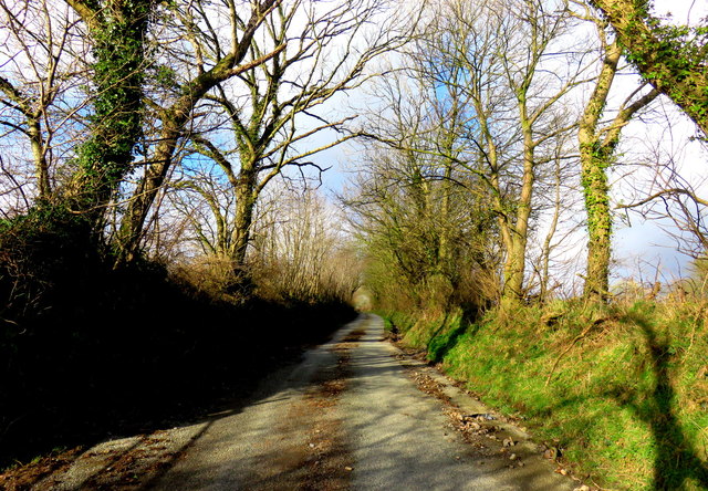
Allt Henry is a picturesque woodland area located in the county of Pembrokeshire, Wales. It covers an area of approximately 200 acres and is known for its serene natural beauty. The woodland is situated near the village of Rosebush and is surrounded by rolling hills and stunning landscapes.
Allt Henry boasts a diverse range of tree species, including oak, beech, and birch, creating a lush and verdant environment. The woodland is characterized by its dense canopy and well-preserved undergrowth, providing a haven for a variety of wildlife. Visitors can expect to encounter numerous bird species, such as woodpeckers and owls, as well as small mammals like foxes and badgers.
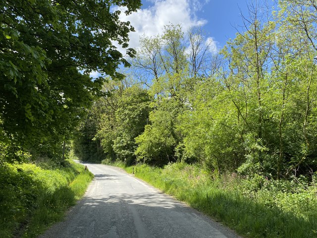
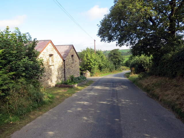
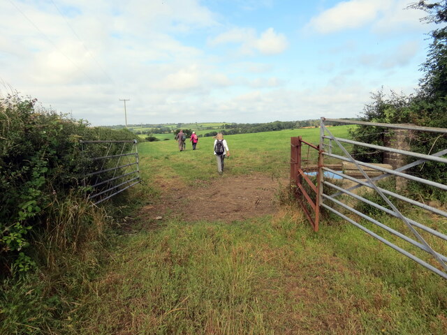
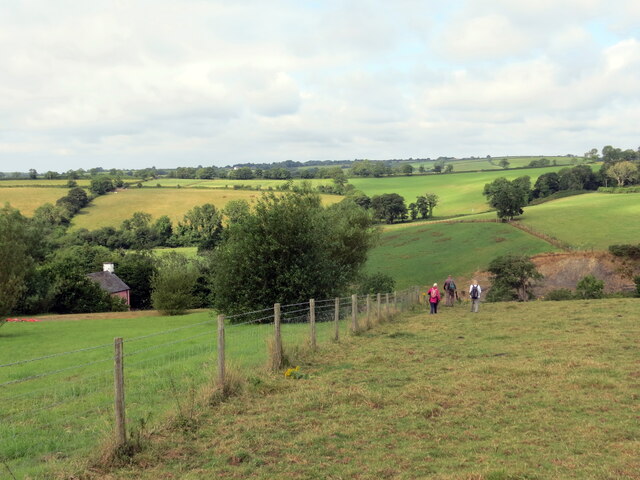
The area is crisscrossed by a network of walking trails, allowing visitors to explore the woodland and discover its hidden gems. These trails cater to different difficulty levels, accommodating both casual strollers and more experienced hikers. The paths wind through the trees, offering glimpses of tranquil streams and babbling brooks along the way.
Allt Henry is a popular destination for nature enthusiasts and offers a peaceful retreat from the hustle and bustle of everyday life. The woodland is particularly beautiful during the autumn months, when the leaves transform into a vibrant array of reds, yellows, and oranges.
Whether it's for a leisurely stroll, birdwatching, or simply immersing oneself in nature, Allt Henry provides a breathtaking setting that will leave visitors feeling rejuvenated and connected to the natural world.
If you have any feedback on the listing, please let us know in the comments section below.
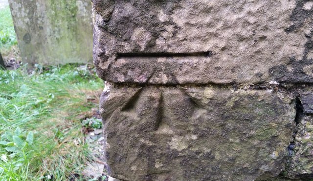
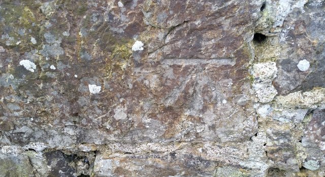
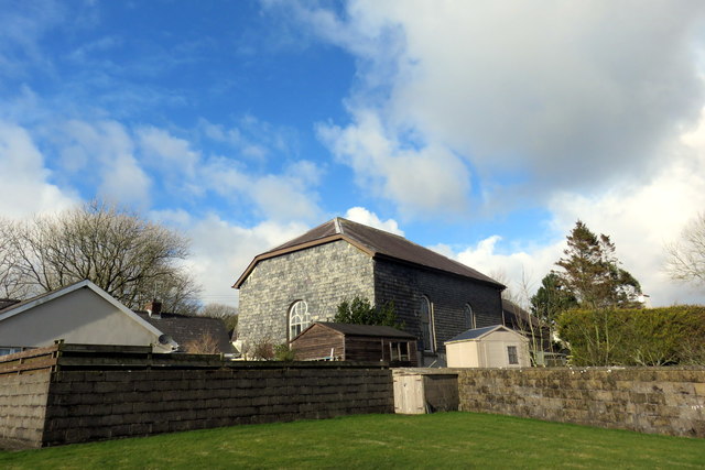
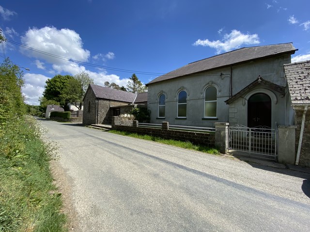
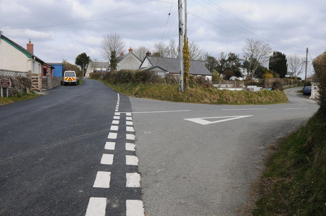
Allt Henry Images
Images are sourced within 2km of 51.876533/-4.81705 or Grid Reference SN0623. Thanks to Geograph Open Source API. All images are credited.


Allt Henry is located at Grid Ref: SN0623 (Lat: 51.876533, Lng: -4.81705)
Unitary Authority: Pembrokeshire
Police Authority: Dyfed Powys
What 3 Words
///request.matrons.finer. Near Ambleston, Pembrokeshire
Nearby Locations
Related Wikis

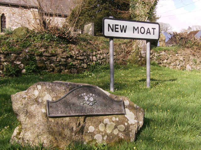
New Moat
New Moat (Welsh: Y Mot) is a village, parish and community in Pembrokeshire, Wales. It extends from the southern edges of Mynydd Preseli to the Pembrokeshire...

Bletherston
Bletherston (Welsh: Trefelen) is a small settlement and parish in Pembrokeshire, Wales. It is in the middle of eastern Pembrokeshire, 6 miles (9.7 km)...
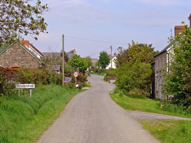
Penffordd, Pembrokeshire
Penffordd or Pen-ffordd is a small village in the community of New Moat, Pembrokeshire, Wales, in the parish of Bletherston. It lies approximately 10.8...

Llys y Fran
Llys y Fran is a small village and parish in the community of New Moat on the southern slopes of the Preseli Mountains in Pembrokeshire, Wales. The parish...
Nearby Amenities
Located within 500m of 51.876533,-4.81705Have you been to Allt Henry?
Leave your review of Allt Henry below (or comments, questions and feedback).