Badger Wood
Wood, Forest in Pembrokeshire
Wales
Badger Wood

Badger Wood is a picturesque forest located in Pembrokeshire, Wales. The wood covers an area of approximately 50 acres and is predominantly made up of native broadleaf trees such as oak, beech, and ash. The forest is home to a variety of wildlife, including badgers, which give the wood its name.
Badger Wood is a popular destination for nature lovers and hikers, with a network of well-maintained trails that wind through the trees and offer stunning views of the surrounding countryside. The forest is also a haven for birdwatchers, with a diverse range of bird species calling the wood home.
In addition to its natural beauty, Badger Wood also has a rich history. The wood has been used by humans for hundreds of years, with evidence of ancient settlements and farming practices still visible in the landscape. Today, the forest is managed sustainably, with efforts being made to protect and preserve its biodiversity for future generations to enjoy.
Overall, Badger Wood is a tranquil and enchanting place, perfect for those looking to escape the hustle and bustle of modern life and connect with the natural world.
If you have any feedback on the listing, please let us know in the comments section below.
Badger Wood Images
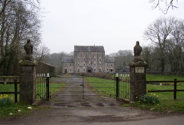
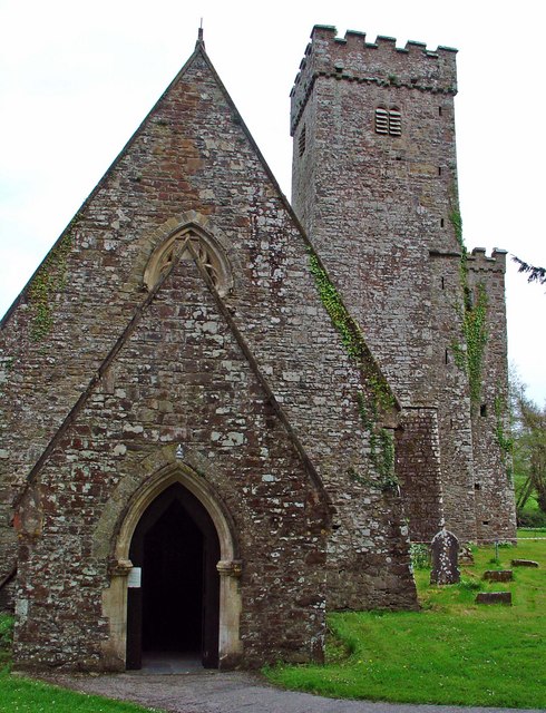
Images are sourced within 2km of 51.806669/-4.8130228 or Grid Reference SN0615. Thanks to Geograph Open Source API. All images are credited.


Badger Wood is located at Grid Ref: SN0615 (Lat: 51.806669, Lng: -4.8130228)
Unitary Authority: Pembrokeshire
Police Authority: Dyfed Powys
What 3 Words
///hurtles.myth.expensive. Near Wiston, Pembrokeshire
Nearby Locations
Related Wikis

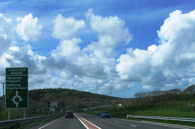
Canaston Bridge
Canaston Bridge is the location in Pembrokeshire, southwest Wales where the A40 trunk road crosses the Eastern Cleddau. It is on the edge of the Pembrokeshire...
Blackpool Mill
Blackpool Mill is a 19th century flour mill in the community of Martletwy, in the Pembrokeshire Coast National Park. It sits to the west of Blackpool Bridge...
Llawhaden
Llawhaden (Welsh: Llanhuadain) is a village, parish and community in the Hundred of Dungleddy (Welsh: Daugleddyf), Pembrokeshire, West Wales. The community...
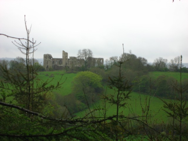
Llawhaden Castle
Llawhaden Castle (Welsh: Castell Llanhuadain) (grid reference SN 073175) is a ruined castle in Llawhaden, Pembrokeshire, Wales, 10 miles (16 km) east of...
Nearby Amenities
Located within 500m of 51.806669,-4.8130228Have you been to Badger Wood?
Leave your review of Badger Wood below (or comments, questions and feedback).