Cwm Fforest
Wood, Forest in Pembrokeshire
Wales
Cwm Fforest

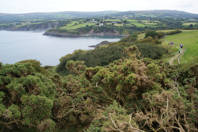
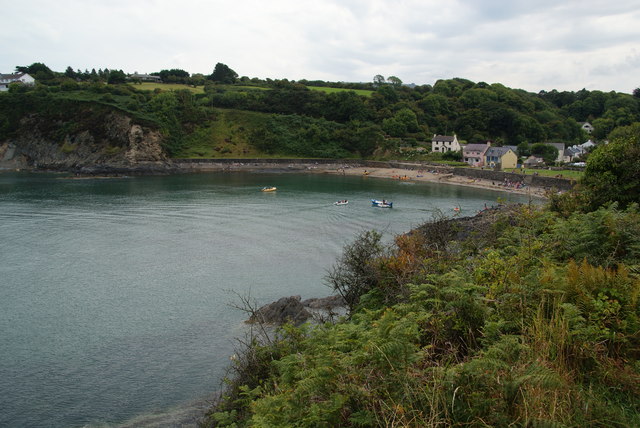
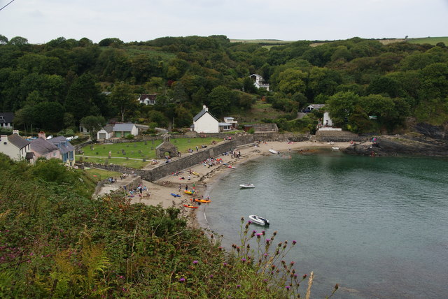
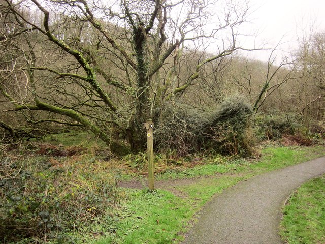
Cwm Fforest, located in Pembrokeshire, Wales, is a picturesque valley surrounded by lush woodland and rolling hills. The name "Cwm Fforest" translates to "Wood, Forest" in English, which aptly describes the area's abundant natural beauty. The valley is situated near the town of Narberth and is part of the Pembrokeshire Coast National Park.
Cwm Fforest is known for its diverse flora and fauna, making it an ideal destination for nature enthusiasts. The valley's woodlands are primarily composed of oak, beech, and ash trees, creating a rich and vibrant ecosystem. The area is also home to numerous species of birds, butterflies, and small mammals, making it a haven for wildlife.
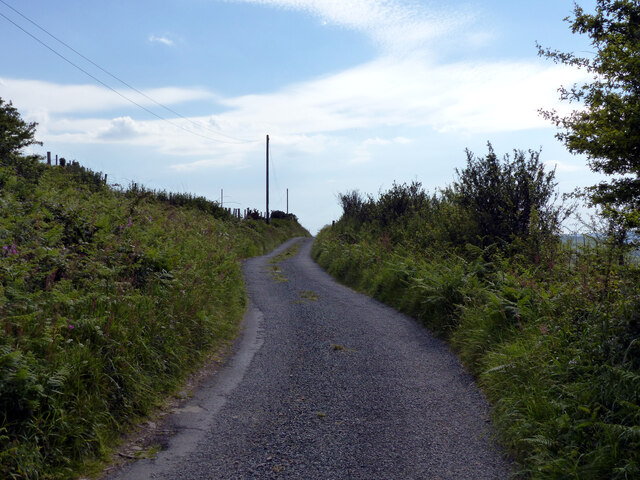
The valley offers a range of recreational activities for visitors to enjoy. There are numerous walking and hiking trails that wind through the woodlands, allowing visitors to explore the area's natural wonders. These trails offer breathtaking views of the surrounding countryside and provide opportunities for birdwatching and photography. Additionally, the valley is intersected by a tranquil stream, which adds to its charm.
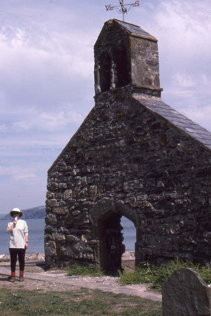
Cwm Fforest is steeped in history, with evidence of human occupation dating back thousands of years. In the vicinity, there are several ancient burial mounds and standing stones, providing a glimpse into the area's past. The valley's rich history and natural beauty make it an intriguing and captivating destination for visitors to Pembrokeshire.
If you have any feedback on the listing, please let us know in the comments section below.
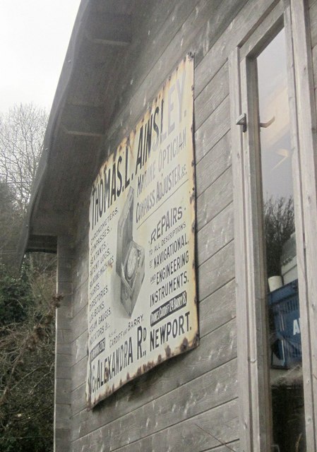
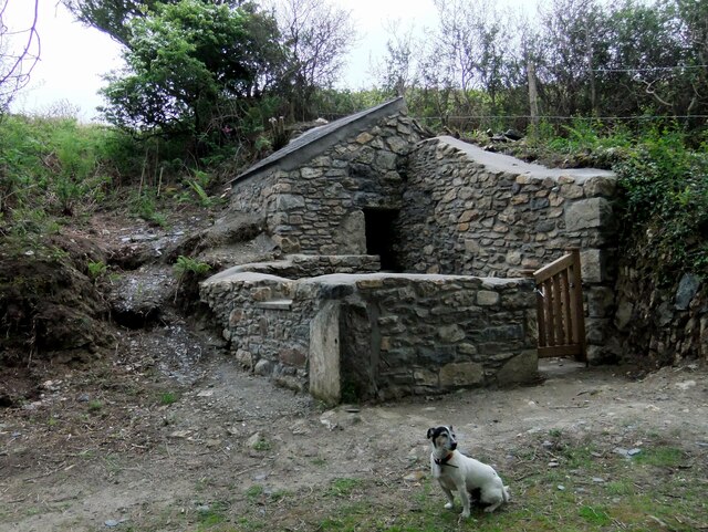
Cwm Fforest Images
Images are sourced within 2km of 52.016078/-4.8786215 or Grid Reference SN0239. Thanks to Geograph Open Source API. All images are credited.


Cwm Fforest is located at Grid Ref: SN0239 (Lat: 52.016078, Lng: -4.8786215)
Unitary Authority: Pembrokeshire
Police Authority: Dyfed Powys
What 3 Words
///sparrows.dots.humid. Near Newport, Pembrokeshire
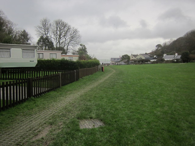
Nearby Locations
Related Wikis

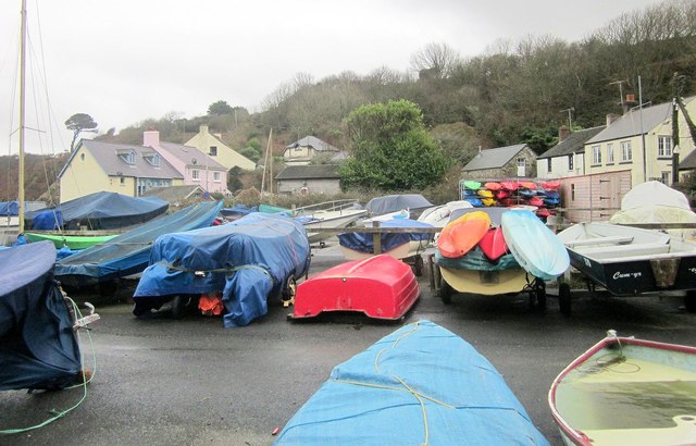
Cwm-yr-Eglwys
Cwm-yr-Eglwys (English: Valley of the Church) is a hamlet in a picturesque cove on the eastern side of the Dinas Island peninsula in the community of Dinas...

Brynhenllan
Bryn-henllan, Bryn Henllan or Brynhenllan is a small settlement in the community of Dinas Cross, north Pembrokeshire, Wales, just north of the A487 road...

Cwm Dewi
Cwm Dewi is a Site of Special Scientific Interest (or SSSI) in Pembrokeshire, South Wales. It has been designated as a Site of Special Scientific Interest...

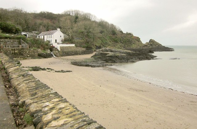
Newport Bay (Wales)
Newport Bay (Welsh: Bae Trefdraeth) is a bay on a section of the north Pembrokeshire coast, Wales, which is within the Pembrokeshire Coast National Park...

Dinas Island
Dinas Island (Welsh: Ynys Dinas) is a peninsula, partially detached from the mainland, in the community of Dinas Cross between Fishguard and Newport, Pembrokeshire...
Pwllgwaelod
Pwllgwaelod (originally Y Pwll Gwaelod, Welsh for The Bottom Cove/Creek) is a small scattered hamlet centred on a bay on the south-western side of the...

Dinas Cross
Dinas Cross (Welsh: Dinas) is both a village, a community and a former parish in Pembrokeshire, Wales. Located between Fishguard and Newport in the Pembrokeshire...

River Nevern
The River Nevern (Welsh: Afon Nyfer) is a river in Pembrokeshire, Wales. Its source is north of the village of Crymych and its length is about 11 miles...
Nearby Amenities
Located within 500m of 52.016078,-4.8786215Have you been to Cwm Fforest?
Leave your review of Cwm Fforest below (or comments, questions and feedback).