Badger Wood

Wood, Forest in Pembrokeshire

Wales

Badger Wood

A field near Sprinkle Pill
A field near Sprinkle Pill Credit: David Medcalf

The requested URL returned error: 429 Too Many Requests

If you have any feedback on the listing, please let us know in the comments section below.
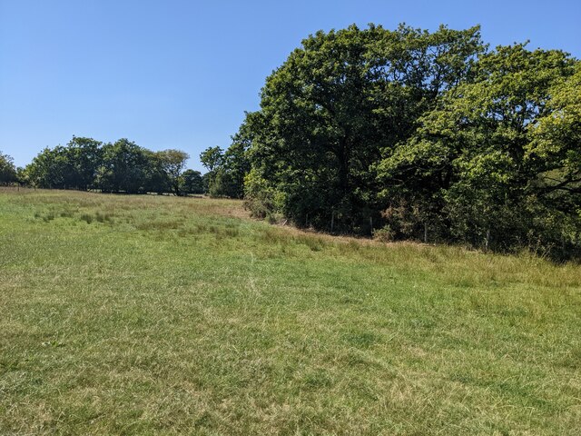
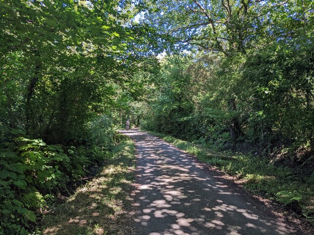
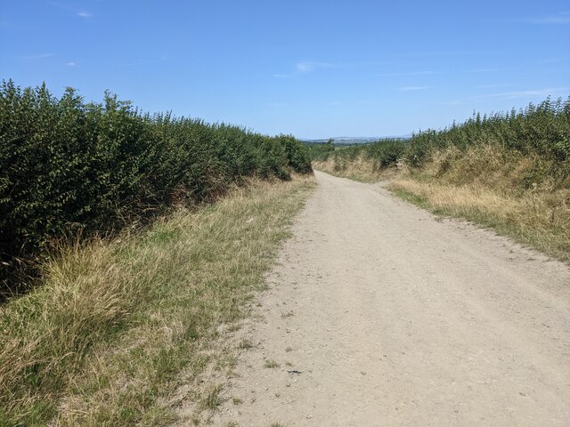
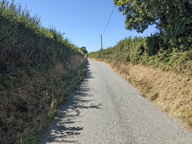
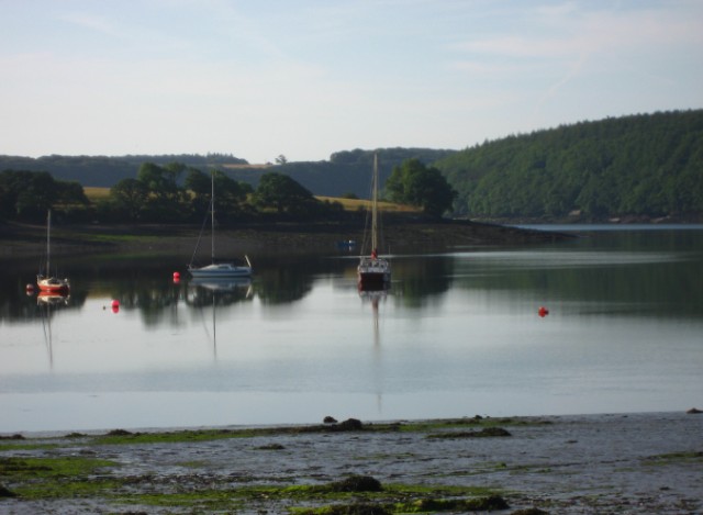
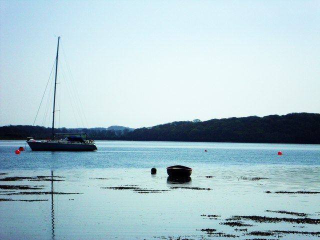
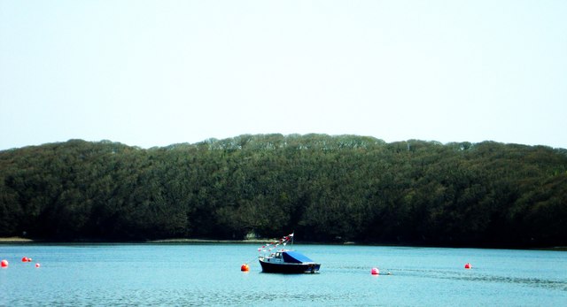
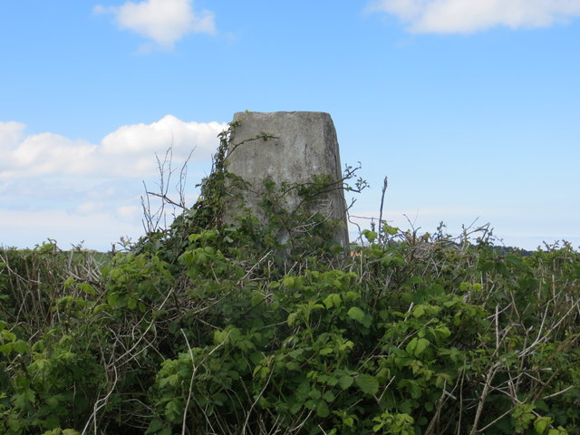
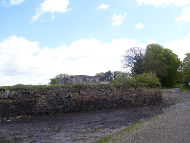
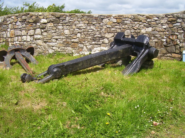
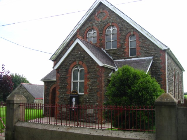
Badger Wood Images

Images are sourced within 2km of 51.7459/-4.9238183 or Grid Reference SM9809. Thanks to Geograph Open Source API. All images are credited.

A field near Sprinkle Pill
A wide track near Sprinkle Pill
The bridleway near Sprinkle Farm
The minor road near Sprinkle Farm
Coedcanlas at dawn
Coedcanlas at dawn
View Upriver The division of Pembrokeshire.
View Upriver
The division of Pembrokeshire.
Mid river  Looking across the divide to South Pembrokeshire.
Mid river
Looking across the divide to South Pembrokeshire.
Ordnance Survey Trig Pillar S6340 On top of banking and buried deep in a hawthorn hedge.
Ordnance Survey Trig Pillar S6340
On top of banking and buried deep in a hawthorn hedge.
Coedcanlas - Old Large House
Coedcanlas - Old Large House - Big Anchor by gate
Coedcanlas - Old Large House
The slipway at Llangwm Ferry The ferry is long gone and must have been small.  The slipway is actually at Coedcanlas, Llangwm is on the other side of the Daugleddau. See: <span class="nowrap"><a title="https://www.pembrokeshirehistoricalsociety.co.uk/high-tides-and-low-politics-an-eclectic-history-of-the-llangwm-ferry/" rel="nofollow ugc noopener" href="https://www.pembrokeshirehistoricalsociety.co.uk/high-tides-and-low-politics-an-eclectic-history-of-the-llangwm-ferry/">Link</a><img style="margin-left:2px;" alt="External link" title="External link - shift click to open in new window" src="https://s1.geograph.org.uk/img/external.png" width="10" height="10"/></span>
The slipway at Llangwm Ferry
The ferry is long gone and must have been small. The slipway is actually at Coedcanlas, Llangwm is on the other side of the Daugleddau. See: LinkExternal link
Looking across Llangwm Pool
The remains of a pier, perhaps, near Llangwm Ferry Quarries
The coastline near Llangwm Ferry Quarries
Western Cleddau Looking north along the river towards Haverfordwest from Blacktar Point.
Western Cleddau
Looking north along the river towards Haverfordwest from Blacktar Point.
Blacktar Point South along the Western Cleddau river bank at Blacktar Point
Blacktar Point
South along the Western Cleddau river bank at Blacktar Point
The Cottage Inn, Llangwm
Show me another place!

Badger Wood is located at Grid Ref: SM9809 (Lat: 51.7459, Lng: -4.9238183)

Unitary Authority: Pembrokeshire

Police Authority: Dyfed Powys

What 3 Words

///collapsed.bridges.assess. Near Llangwm, Pembrokeshire

Nearby Locations

Badger Wood

Related Wikis

Llangwm, Pembrokeshire

Llangwm (; Welsh pronunciation: [ˈɬangʊm]) is a small village, parish and community of around 450 properties situated on the Llangwm Pill off the River...

Foxhall, Pembrokeshire

Foxhall is a rural hamlet of a few houses between Hill Mountain and Port Lion in the community of Llangwm, and the parish of Burton, Pembrokeshire, Wales...

Great Nash

Great Nash was an important gentry house at Llangwm, Pembrokeshire, Wales. The house was occupied by the Nash family in the 15th and 16th Century. An heiress...

Sardis, south Pembrokeshire

Sardis (also known as Sardis Cross) is a small village in the community and parish of Burton, Pembrokeshire, Wales 1 mile (2 km) east of Rosemarket....

Nearby Amenities

Located within 500m of 51.7459,-4.9238183
Direction: 285
Generator Method: photovoltaic
Generator Output Electricity: yes
Generator Solar Modules: 8
Generator Source: solar
Generator Type: solar_photovoltaic_panel
Location: roof
Power: generator
Lat/Long: 51.7439943/-4.9204407
Direction: 105
Generator Method: photovoltaic
Generator Output Electricity: yes
Generator Solar Modules: 8
Generator Source: solar
Generator Type: solar_photovoltaic_panel
Location: roof
Power: generator
Lat/Long: 51.7439109/-4.92044
The data included in this document is from www.openstreetmap.org. The data is made available under ODbL.

Have you been to Badger Wood?

Leave your review of Badger Wood below (or comments, questions and feedback).