Ash Wood
Wood, Forest in Pembrokeshire
Wales
Ash Wood

Ash Wood is a picturesque forest located in the county of Pembrokeshire, Wales. Spanning over a vast area, this woodland is known for its abundance of ash trees, which give it its name. The forest is a popular destination for nature enthusiasts and those seeking tranquility amidst the natural beauty of the Welsh countryside.
The forest boasts a diverse range of flora and fauna, creating a thriving ecosystem. The ash trees dominate the landscape, providing a dense canopy that filters sunlight and creates a cool and inviting atmosphere. The forest floor is blanketed with a variety of wildflowers, ferns, and mosses, adding vibrant colors and textures to the scenery.
Ash Wood is home to a rich array of wildlife, making it a haven for animal lovers and birdwatchers. Visitors may spot native species such as red squirrels, foxes, badgers, and a multitude of bird species including woodpeckers, owls, and warblers. The forest is also known for its population of bats, which can be seen darting through the trees during the twilight hours.
Numerous walking trails crisscross the woodland, allowing visitors to explore its beauty at their own pace. These trails range from leisurely strolls to more challenging hikes, catering to all levels of fitness and interest. Along the paths, benches and picnic areas provide opportunities for rest and relaxation, while designated viewpoints offer breathtaking vistas of the surrounding countryside.
Overall, Ash Wood is a natural gem in Pembrokeshire, offering a serene and enchanting experience for anyone seeking solace in the great outdoors.
If you have any feedback on the listing, please let us know in the comments section below.
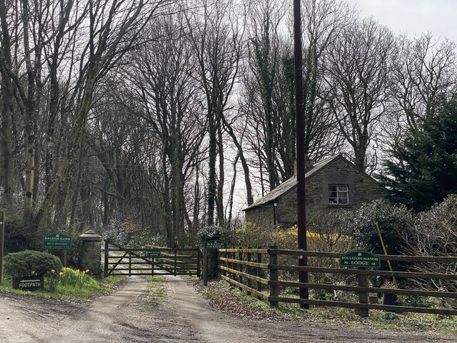
Ash Wood Images
Images are sourced within 2km of 51.774619/-4.9277197 or Grid Reference SM9812. Thanks to Geograph Open Source API. All images are credited.


Ash Wood is located at Grid Ref: SM9812 (Lat: 51.774619, Lng: -4.9277197)
Unitary Authority: Pembrokeshire
Police Authority: Dyfed Powys
What 3 Words
///sigh.brew.goose. Near Hook, Pembrokeshire
Nearby Locations
Related Wikis

Boulston
Boulston is a small settlement and former parish on the left bank of the Western Cleddau river in Pembrokeshire, Wales, in the community of Uzmaston, Boulston...

Hook, Pembrokeshire
Hook is a village and community on the Western Cleddau, Pembrokeshire, Wales, in the ecclesiastical parish of Llangwm. == Name == The name could be derived...
Hook Wood
Hook Wood is a Site of Special Scientific Interest (or SSSI) in Pembrokeshire, South Wales. In 1603 George Owen described Hook Wood as one of “the best...

Uzmaston
Uzmaston is a small parish in Pembrokeshire, Wales, about 2 kilometres south-east of Haverfordwest. The village, to the northwest of Boulston, forms part...
Nearby Amenities
Located within 500m of 51.774619,-4.9277197Have you been to Ash Wood?
Leave your review of Ash Wood below (or comments, questions and feedback).