Bunker Hill
Settlement in Durham
England
Bunker Hill

Bunker Hill is a historic neighborhood located in Durham, North Carolina. Situated just north of downtown Durham, it is known for its rich history, diverse community, and vibrant atmosphere. The neighborhood is named after the famous Battle of Bunker Hill, which took place during the American Revolutionary War.
Bunker Hill is characterized by its charming architecture, with many historic homes and buildings dating back to the late 19th and early 20th centuries. The neighborhood features a mix of architectural styles, including Victorian, Craftsman, and Colonial Revival, giving it a unique and picturesque aesthetic.
The community in Bunker Hill is diverse and tight-knit. Residents include families, professionals, and artists, contributing to a vibrant and lively atmosphere. The neighborhood is known for its active community engagement, with regular events and gatherings that foster a strong sense of camaraderie among residents.
Bunker Hill offers a range of amenities to its residents. The neighborhood is home to several parks, including the popular Bunker Hill Park, which provides ample green space for outdoor activities and recreation. Additionally, the neighborhood is within close proximity to downtown Durham, offering residents easy access to a variety of dining, shopping, and entertainment options.
Overall, Bunker Hill is a charming and historic neighborhood in Durham, North Carolina, that offers its residents a sense of community, diverse architecture, and a convenient location near downtown.
If you have any feedback on the listing, please let us know in the comments section below.
Bunker Hill Images
Images are sourced within 2km of 54.863686/-1.484273 or Grid Reference NZ3352. Thanks to Geograph Open Source API. All images are credited.


Bunker Hill is located at Grid Ref: NZ3352 (Lat: 54.863686, Lng: -1.484273)
Unitary Authority: Sunderland
Police Authority: Northumbria
What 3 Words
///fries.lamps.radar. Near Houghton-Le-Spring, Co. Durham
Nearby Locations
Related Wikis
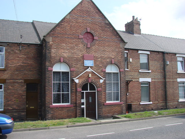
Philadelphia, Tyne and Wear
Philadelphia is a village in the City of Sunderland, England. It lies on the A182 road between Newbottle and Shiney Row. == History == Unlike nearby Washington...
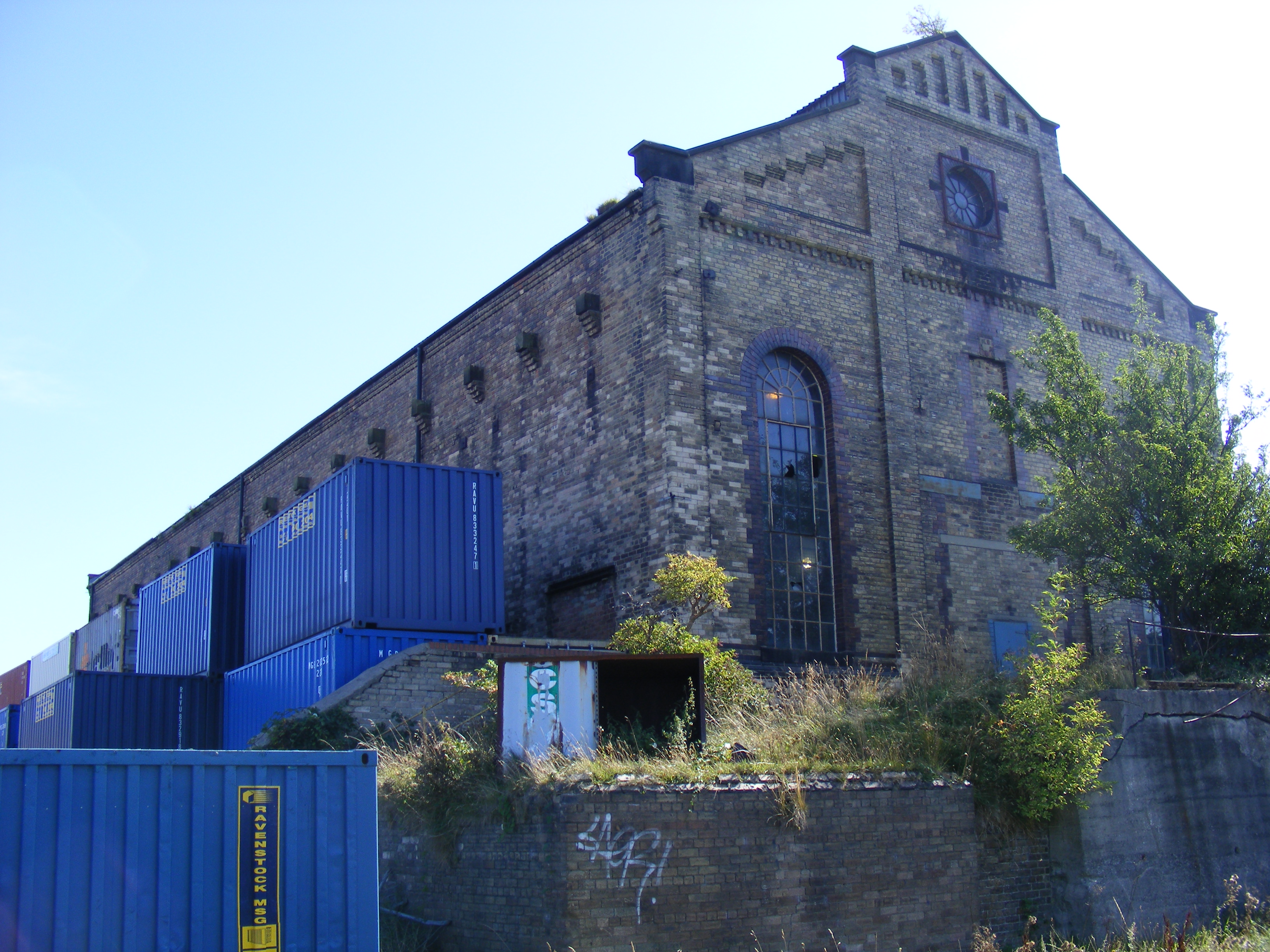
Philadelphia Power Station
Philadelphia Power Station is a defunct coal-fired power station situated between the villages of Philadelphia and Newbottle, 1.5 mi (2.4 km) north of...

1815 Philadelphia train accident
The 1815 Philadelphia train accident occurred on 31 July 1815, in Philadelphia, County Durham, England, when an early experimental railway locomotive,...

Shiney Row
Shiney Row is a village in Houghton-le-Spring, Tyne and Wear, England. One of the most notable people who was born in Shiney Row is Sir George Elliot,...
Nearby Amenities
Located within 500m of 54.863686,-1.484273Have you been to Bunker Hill?
Leave your review of Bunker Hill below (or comments, questions and feedback).